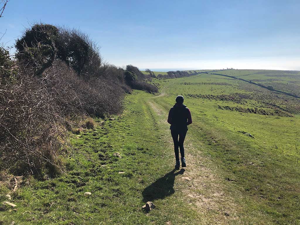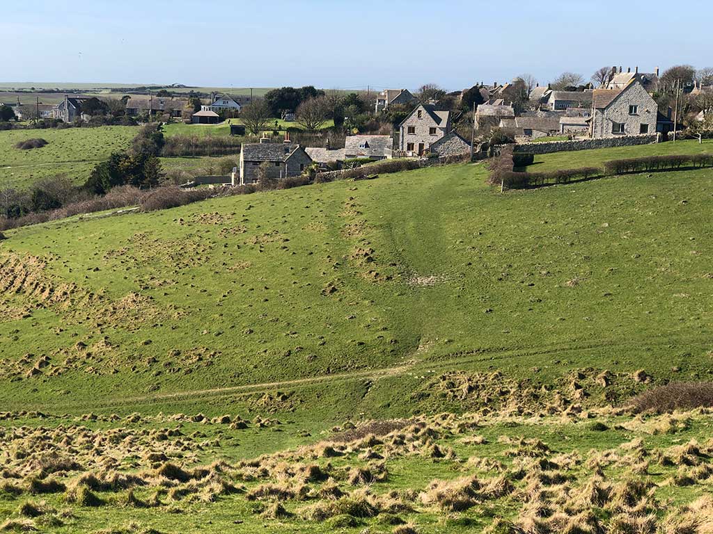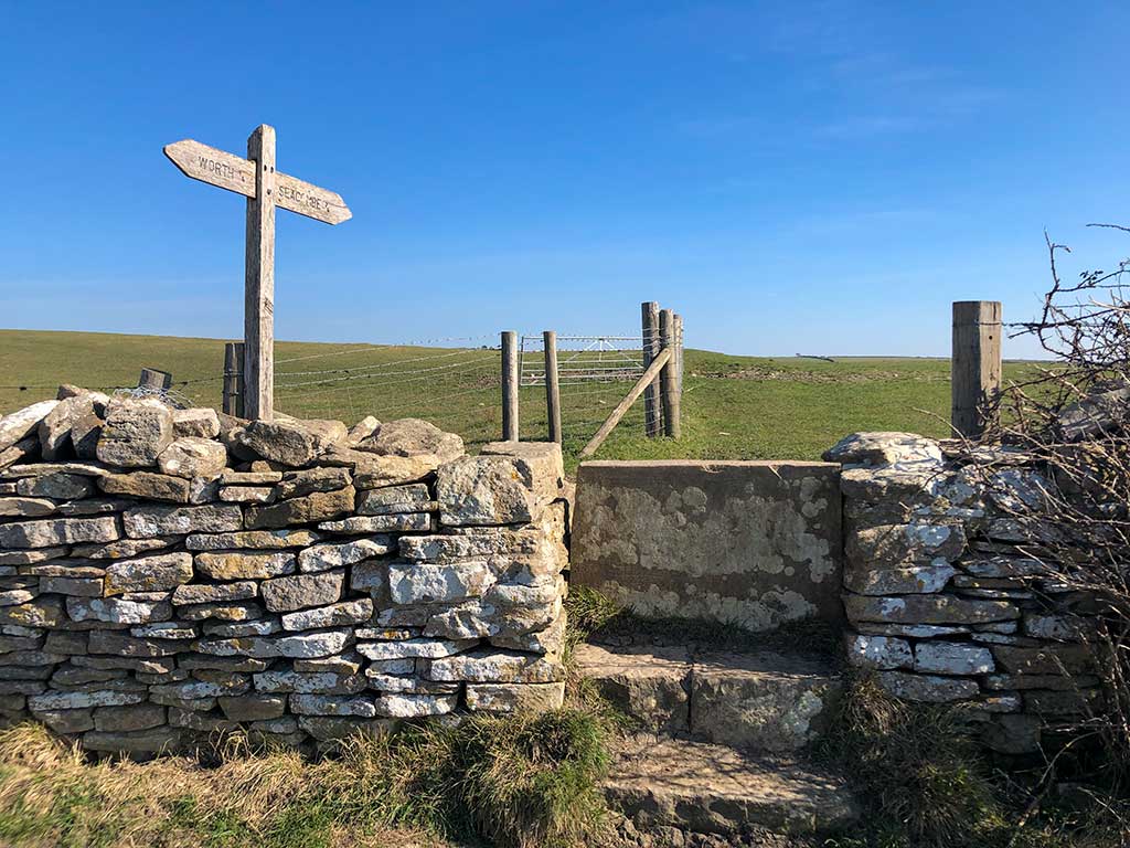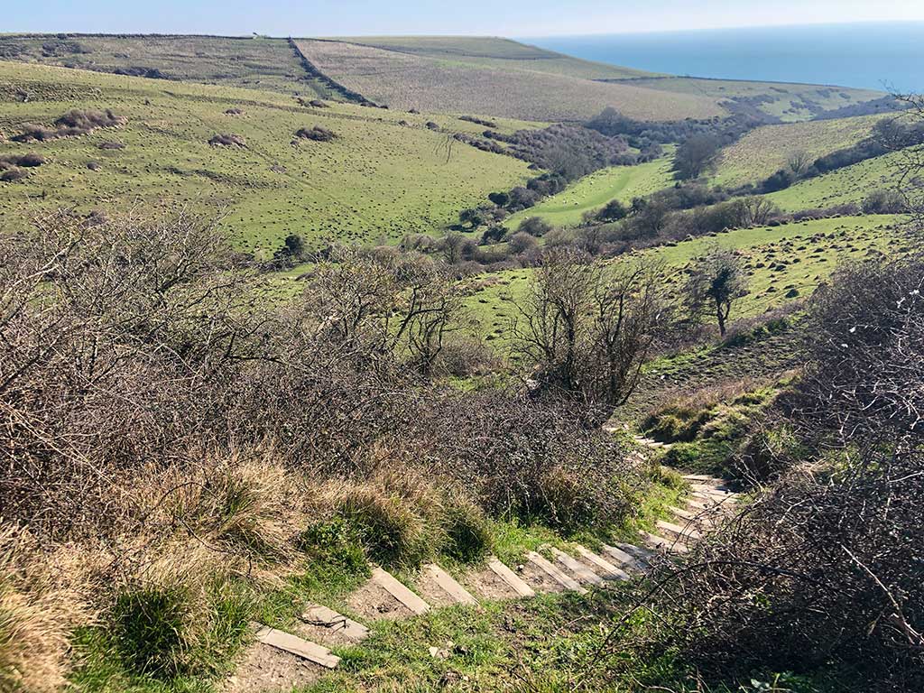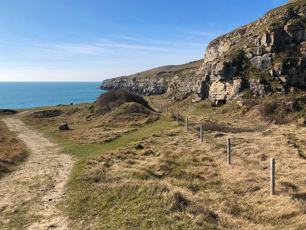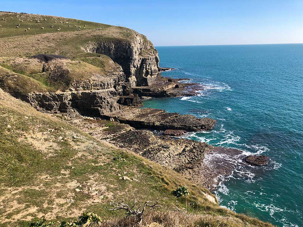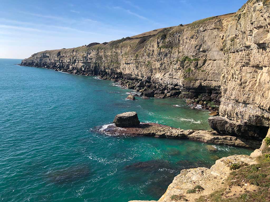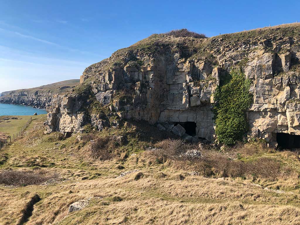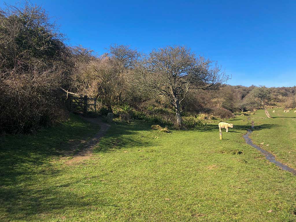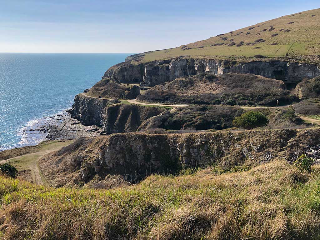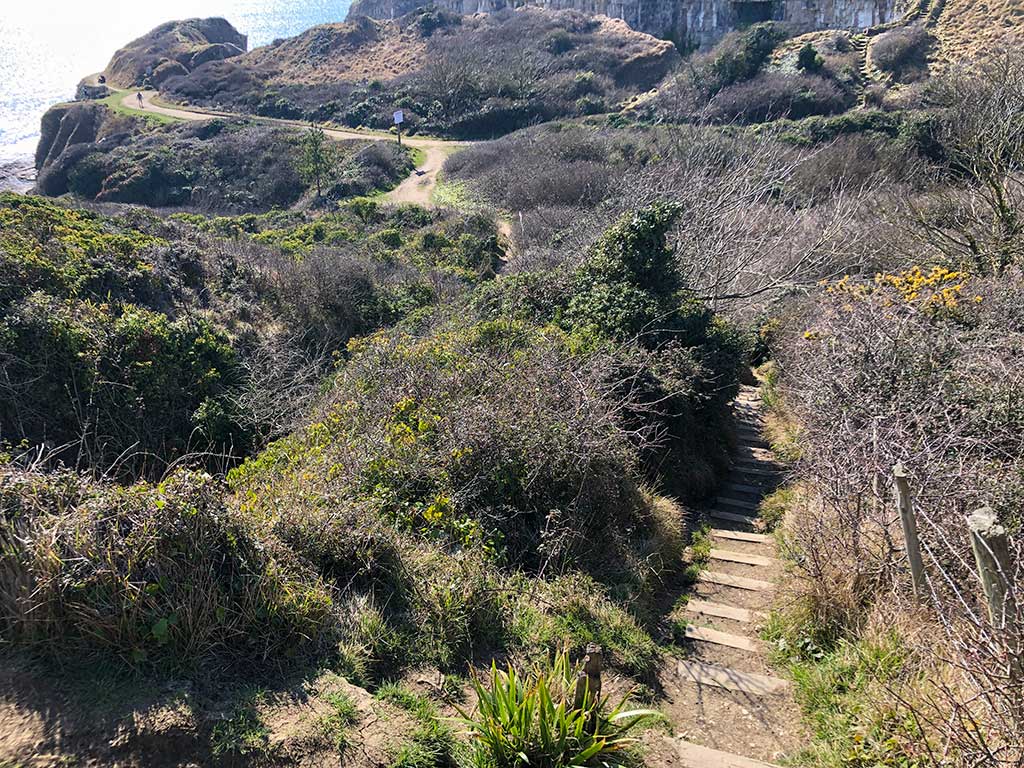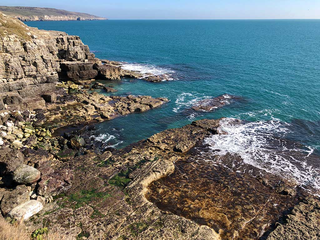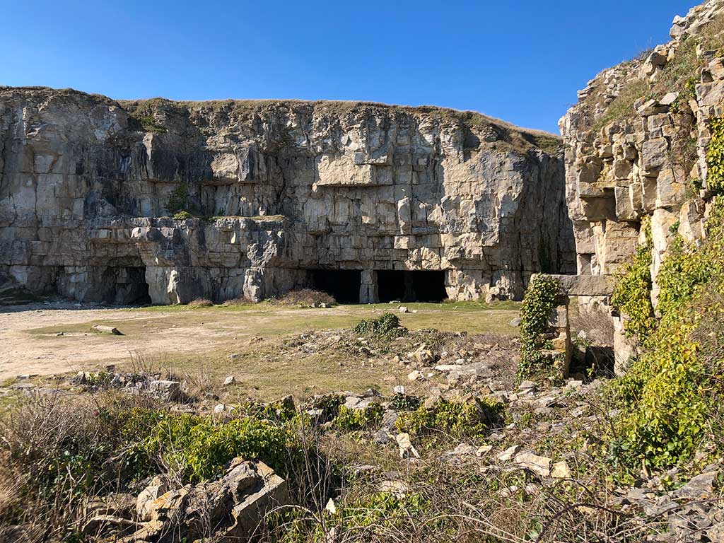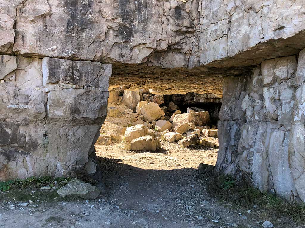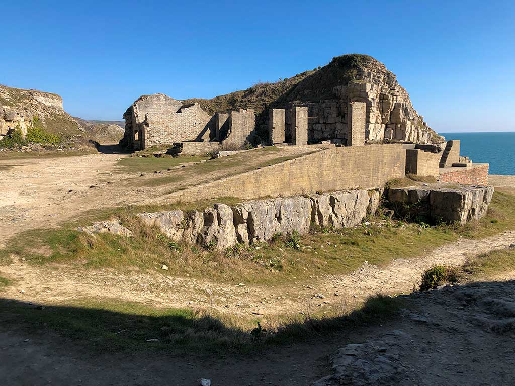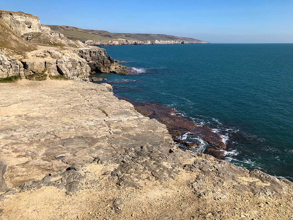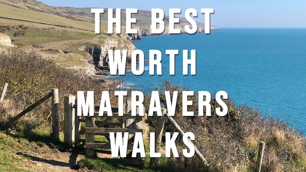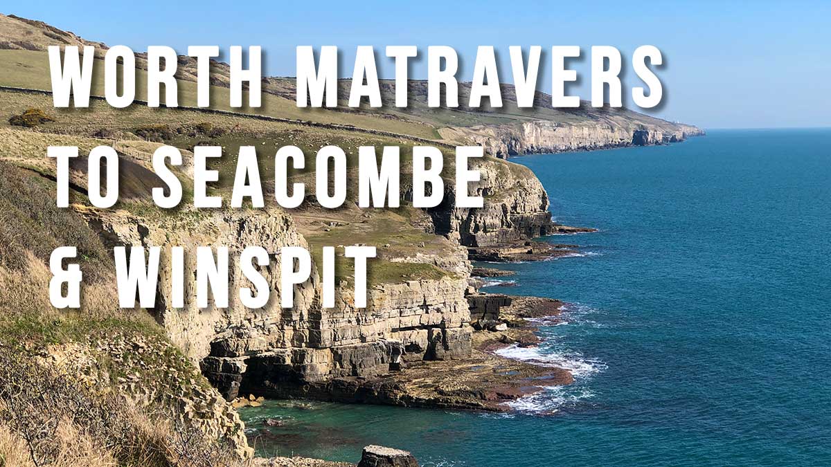
This is one of my favourite walks in the Worth Matravers area and a great choice for first-time visitors to the Purbeck region. The walk starts off with an easy stroll across farmland and down a sheltered valley to the abandoned stone cliff quarry at Seacombe. The path follows the coastal cliff tops west to another disused quarry at Winspit before retuning for the slow hike back to Worth Matravers along a surfaced track. Did I forgot to mention that there’s a very good pub in the village 🙂
Distance: 2.9 miles (circular walk)
Difficulty: easy (uneven ground, some uphill sections)
Estimated time: 1 hours 45 minutes
Total ascent 436ft, Highest Point 433ft
Base map © OpenStreetMap created in Outdooractive App
Route Map and GPS Navigation
https://www.outdooractive.com/
https://www.alltrails.com/
https://explore.osmaps.com/
https://www.google.com/maps/
Route Description and Photos
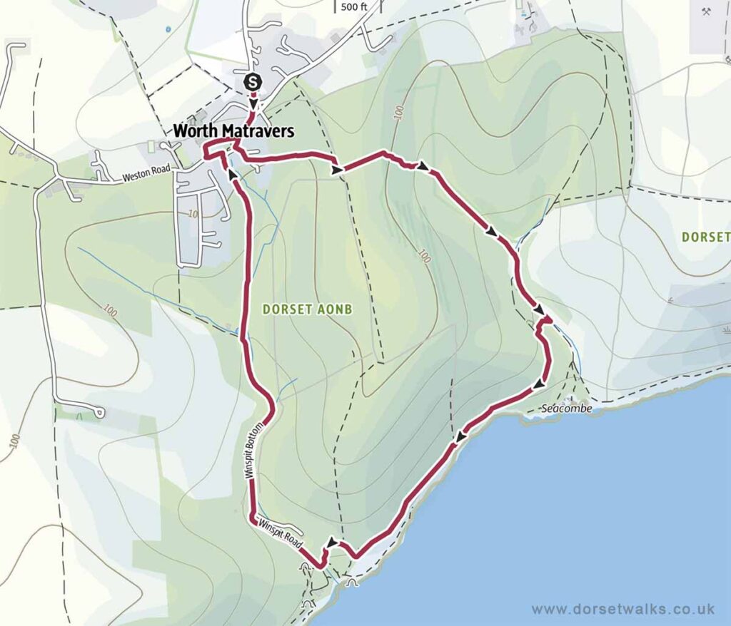
Route: Worth Matravers – Seacombe Cliffs – Winspit Quarry – Rtn
The starting point for this walk is the Worth Matravers car park conveniently located just a few minutes walk from the village centre. There are plenty of parking spaces, CCTV and public toilets which have always been spotless when I’ve visited. Payment is £2 in cash paid into an honesty box! – remember to bring some pound coins as no change is given! The car park is owned by the Worth Matravers Parish Council so all money is used for the benefit of the Parish and visitors.
Car park Sat Nav BH19 3LE (Google Maps) (w3w)
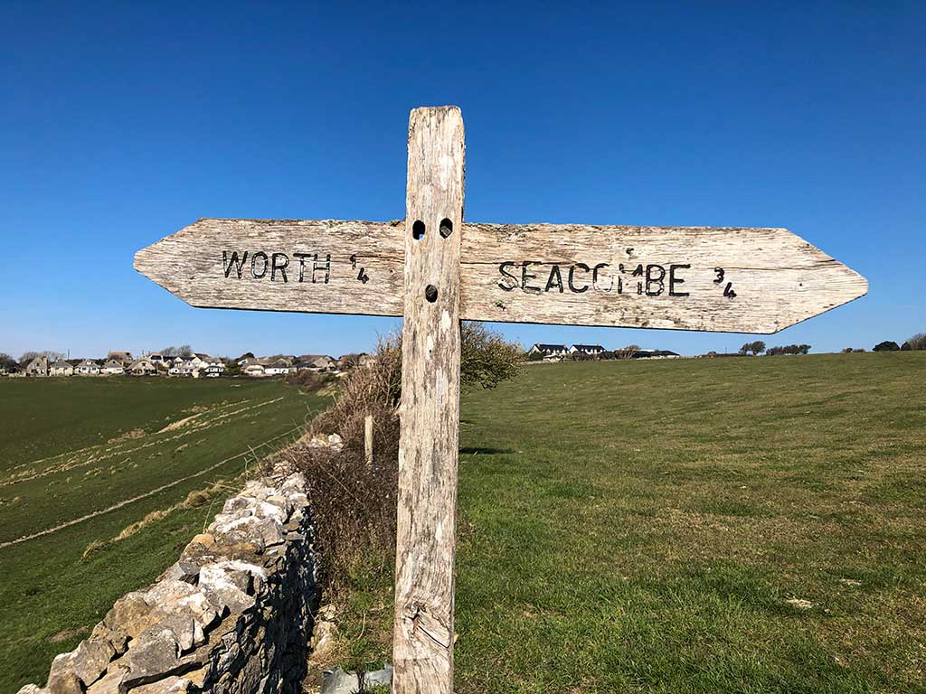
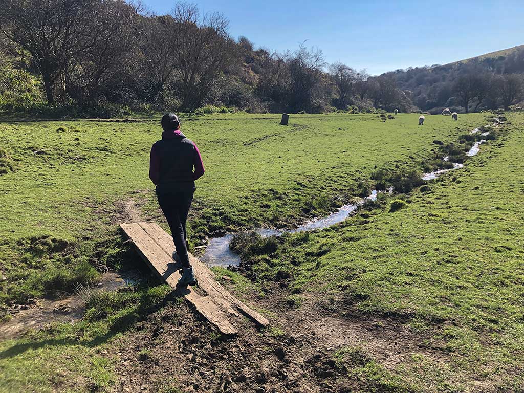
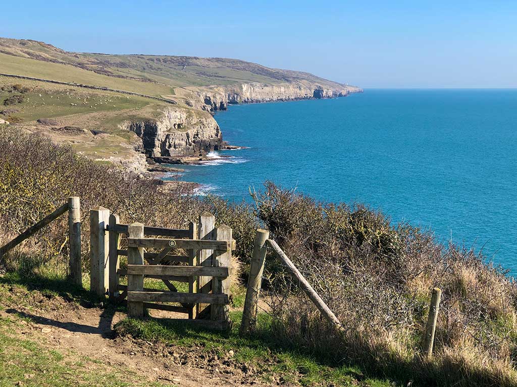
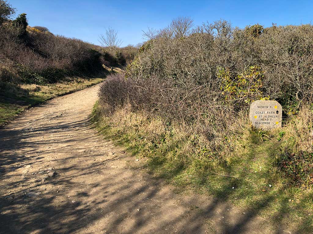
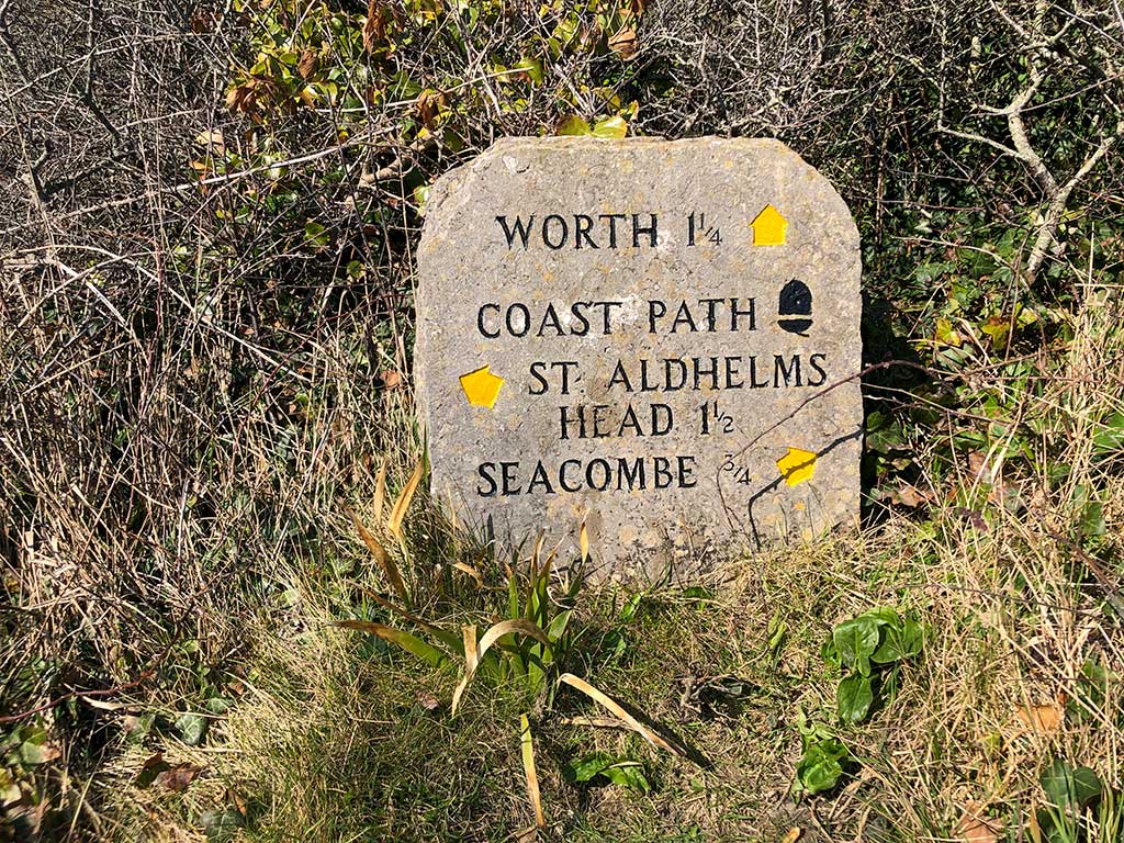
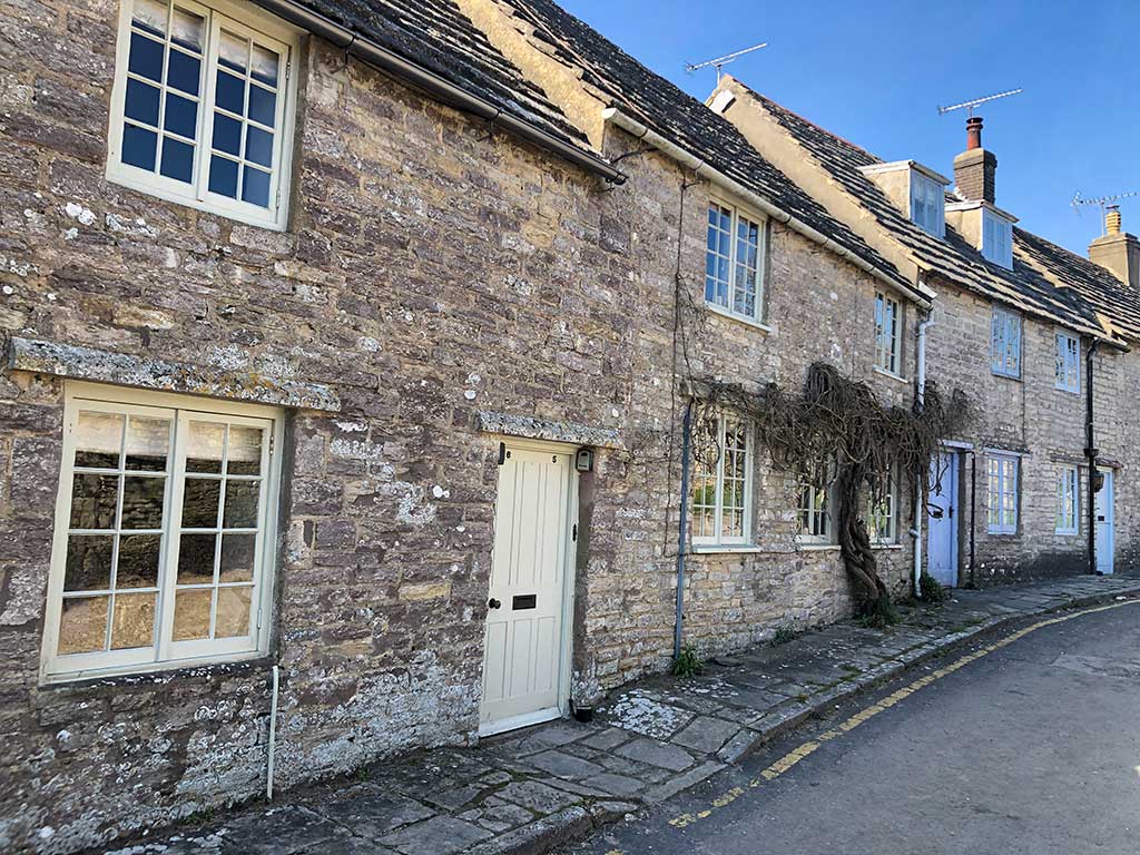
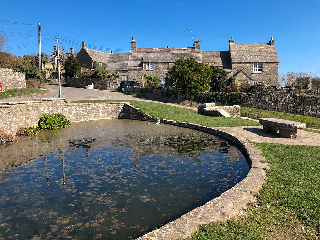
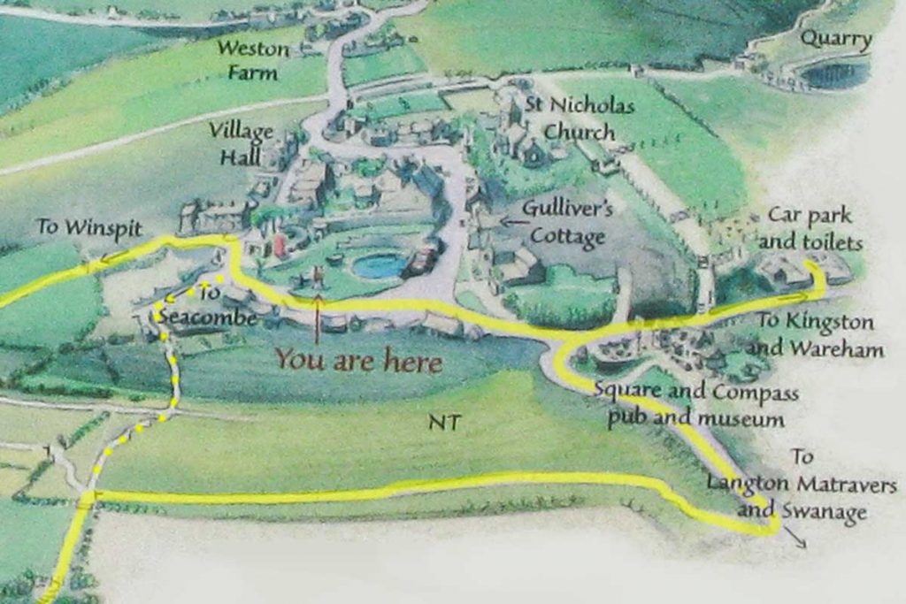
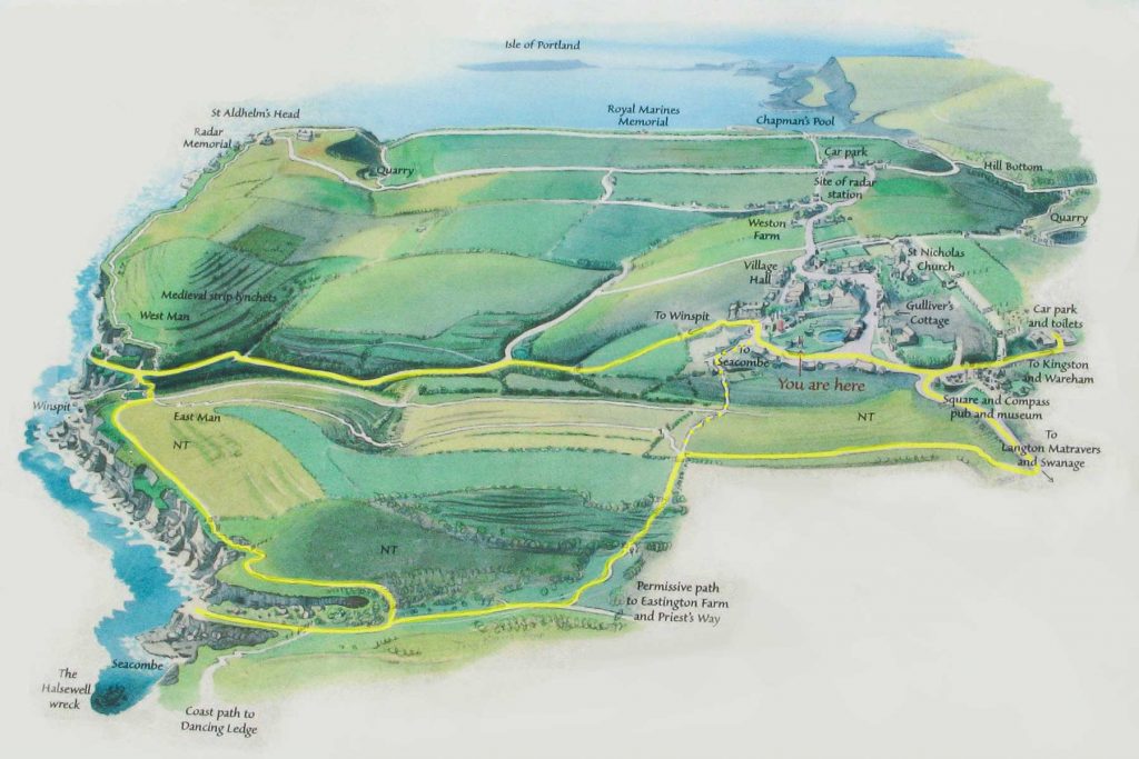
You may want to explore the village green and duck pond before starting the walk. Next to the pond is a visitor information board with good map of the area which I’ve copied below for you. At the bottom of the green near to the red phone box you can see a sign pointing left to Seacombe which you can follow leading you down a path between the cottages and out into a field which you have to cross. I’ve marked it as a dotted yellow line on the map below.
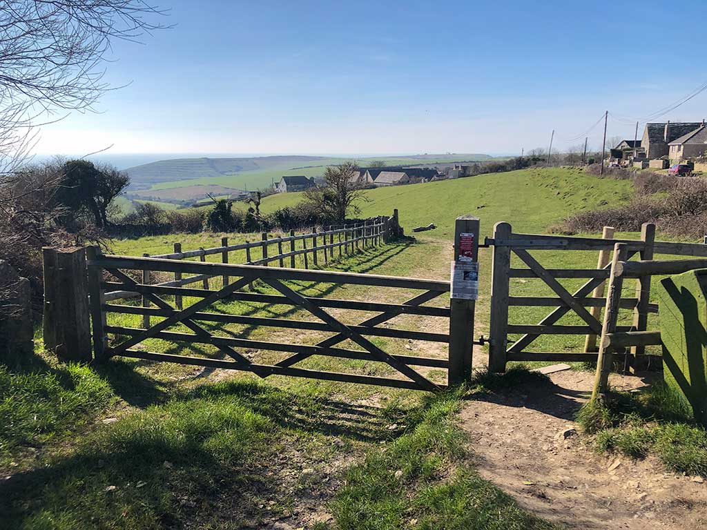
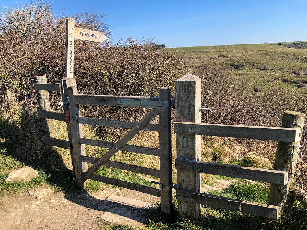
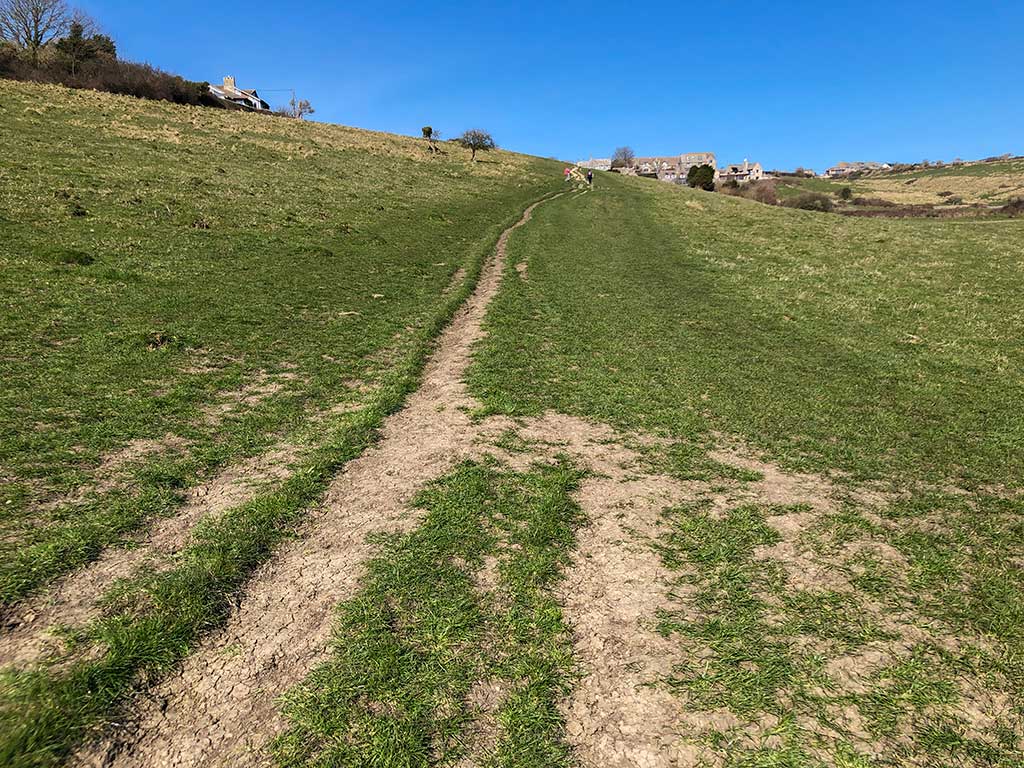
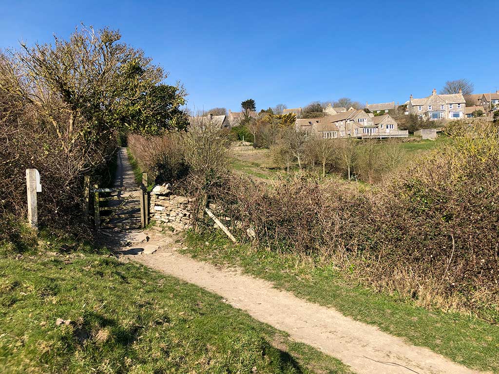
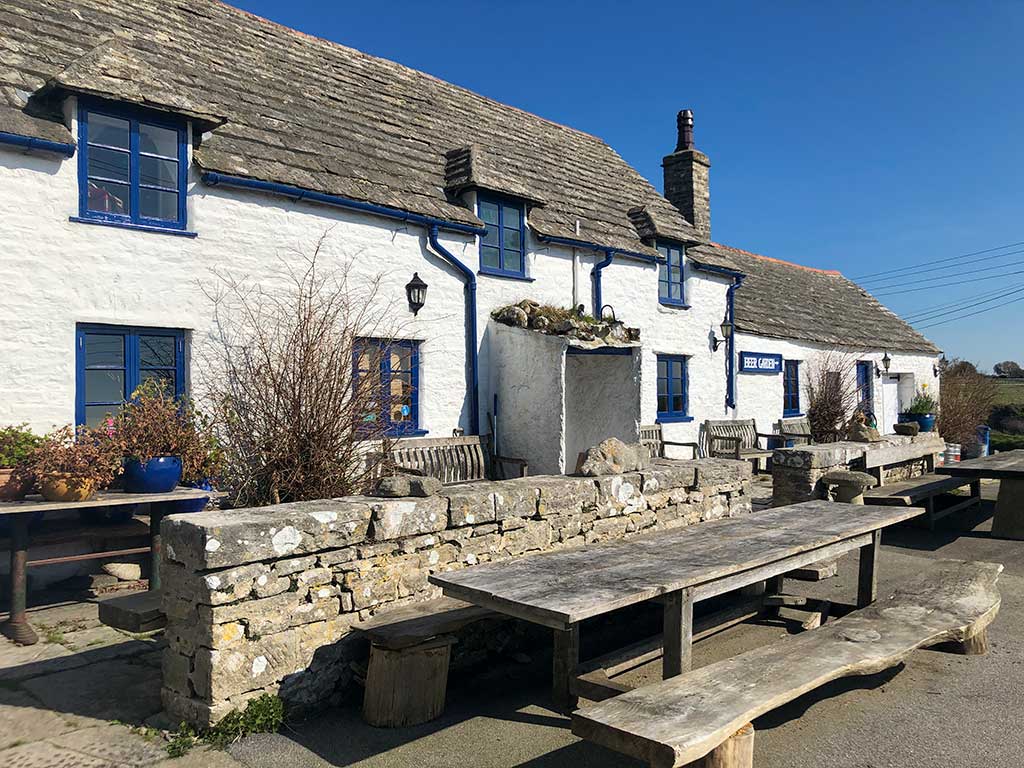
Alternatively instead of exploring the village and church, which you’ll visit at the end of the walk, just turn left after the Square and Compass pub and walk up the road for about 100m until you see a gate on the right hand side leading into the field. This is the start of the walk. The route is marked in yellow on the map below. (Google Maps) (w3w)
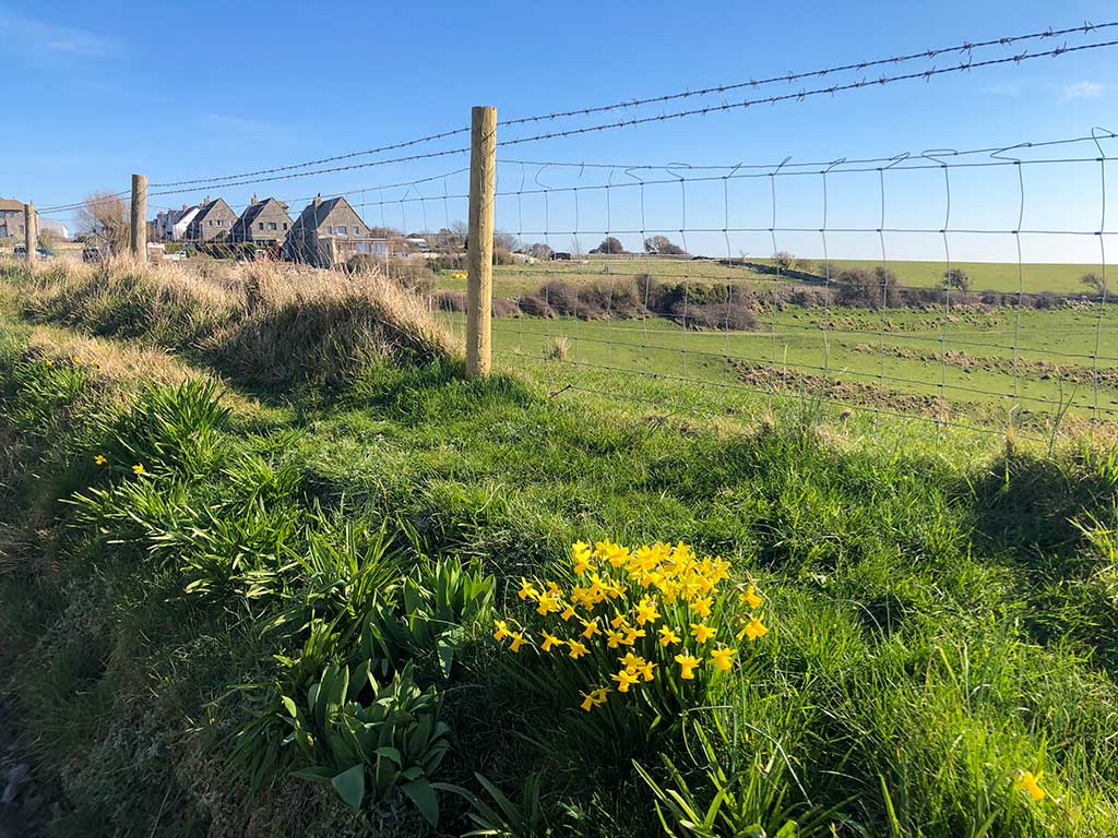
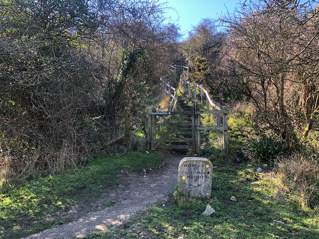
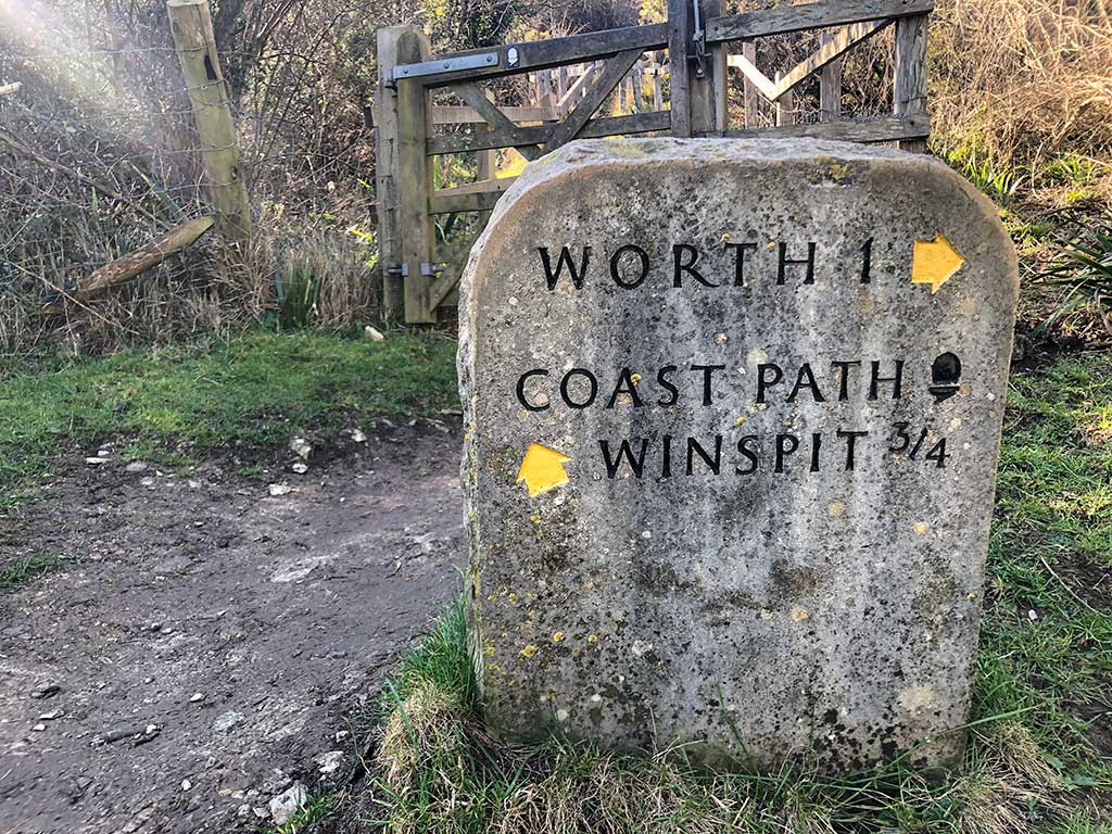
I must have done this walk a dozen times, it’s one of my favourites around Worth Matravers. The photos on this page are from a walk we did on the 3rd March 2021 which explains the daffodils out. It’s also a lovely walk in the summer as there are always plenty of wild flowers and butterflies about.