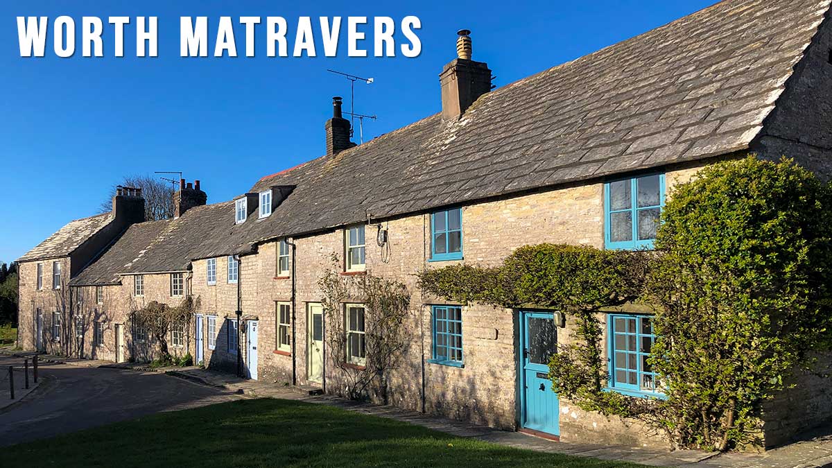
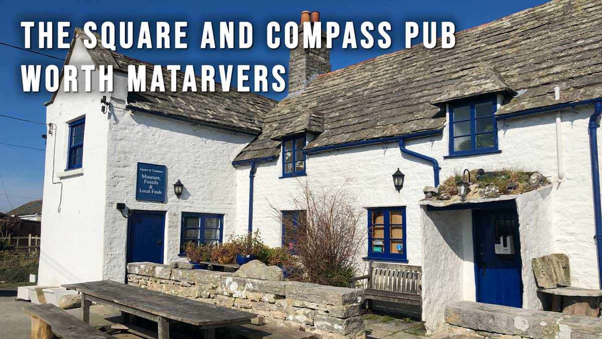
Worth Matravers is a picturesque village situated on the cliffs 4 miles west of Swanage and 4 miles south of Corfe Castle. It comprises limestone cottages and farm houses set around the village green complete with duckpond. The village is also well known for the Square and Compass pub which has operated since 1793. The pub accommodates a small museum exhibiting fossils and other local artefacts.
Continue reading “Worth Matravers”The Square and Compass Pub Dorset
Worth Matravers BH19 3LF (Google Map)
The Square and Compass is the perfect finish for many coastal walks in the Worth Matravers region and also a popular stopping off point for walkers on the South West Coast Path.
Continue reading “The Square and Compass Pub Dorset”Worth Matravers to Winspit and St. Aldhelm’s Head Walk
This circular walk from the village of Worth Matravers follows a well made track downhill to the old stone quarry at Winspit. It then turns west to join the South West Coast Path walking along the exposed clifftops to reach St. Aldhelm’s Head with its small chapel and Coastguard Lookout Station.
Distance: 4.4 miles (circular walk)
Difficulty: Easy
Estimated time: 2 hours 30 minutes
Ascent: 558ft, Highest point: 440ft
Seatown Dorset
Seatown is a small coastal hamlet with a privately-owned shingle shelving beach. It is located 3 miles south west of Bridport and about 7.5 miles east of Lyme Regis. This part of the coast forms part of the Jurassic Coast, a world heritage site stretching for 96 miles.
Continue reading “Seatown Dorset”Seatown to Thorncombe Beacon Walk
Great alternative to the Golden Cap walk. This circular coastal walk starts in the sleepy village of Seatown and has great views west towards Golden Cap, east towards West Bay (Bridport) and north to Colmer’s Hill.
Distance: 2.5 miles
Difficulty: easy to moderate
Estimated time: 1 hours 30 minutes,
Total ascent 653ft, Max elevation 486ft.
Seatown to Golden Cap and Langdon Hill Walk
Golden Cap is the highest point in Dorset so you’ll get stunning views west along the Jurassic Coast towards Lyme Regis, east towards West Bay, Chesil Beach and the Isle of Portland and green rolling farmland to the north.
Distance: 4.1 miles
Difficulty: moderate
Estimated time: 2 hours 30 minutes
Total ascent 1175ft, Max elevation 604ft.