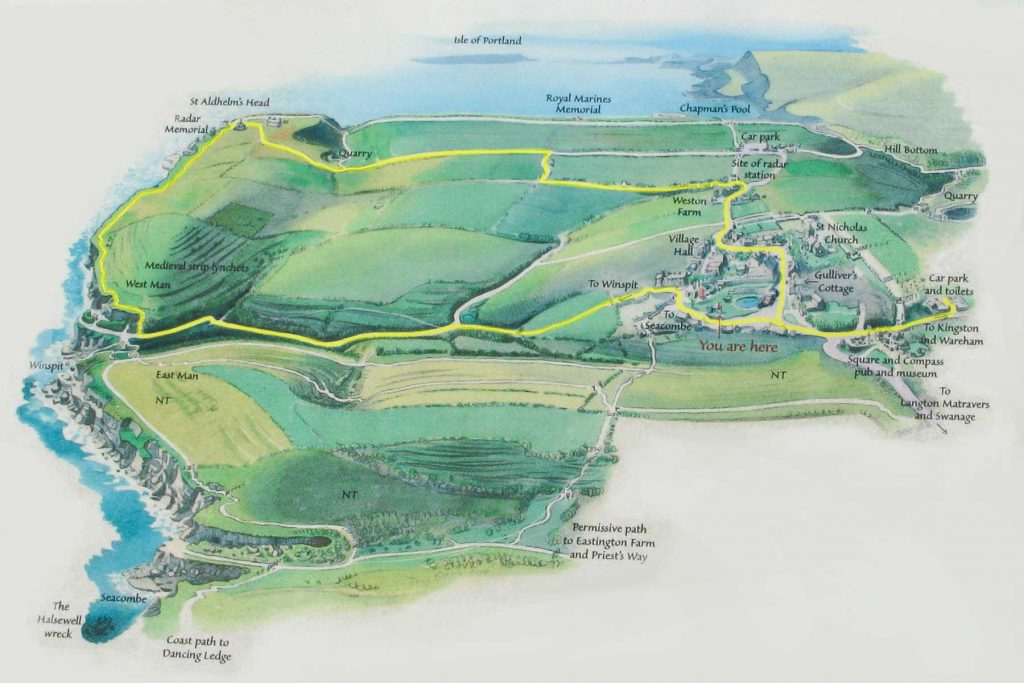
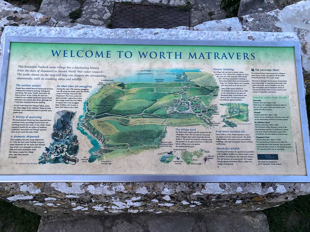
This circular walk from the village of Worth Matravers follows a well made track downhill to the old stone quarry at Winspit. It then turns west to join the South West Coast Path walking along the exposed clifftops to reach St. Aldhelm’s Head with its small chapel and Coastguard Lookout Station.
Distance: 4.4 miles (circular walk)
Difficulty: Easy
Estimated time: 2 hours 30 minutes
Ascent: 558ft, Highest point: 440ft
Base map © OpenStreetMap created in Outdooractive App
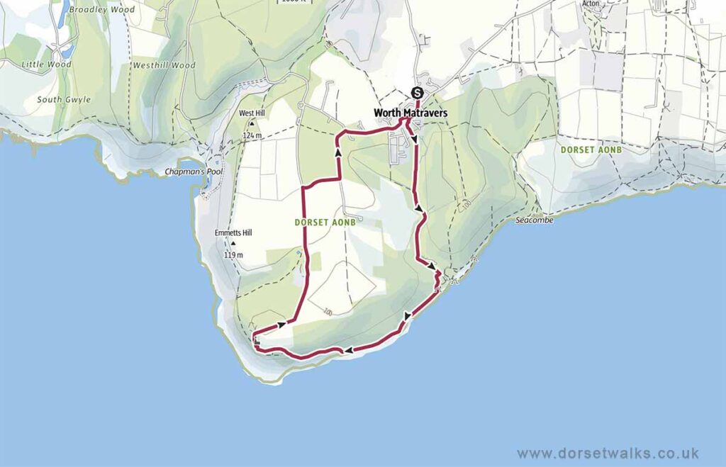
GPS Route Map
https://www.outdooractive.com/
https://www.alltrails.com/
https://explore.osmaps.com/
https://www.google.com/maps/
Disclaimer: Information and maps are provided in good faith. Every effort has been taken to ensure details and routes are safe and correct however Dorset Walks accepts no responsibility for content accuracy and anyone undertaking any walks listed on this website must do so at their own risk. Walkers should be of suitable fitness and suitably prepared for the walk. Stay away from cliff edges which may be unstable. Footpaths may pass through fields with grazing livestock. Keep a safe distance from any animals and always keep dogs on a lead and under control.
Route Description and Photos
Route: Worth Matravers – Winspit Quarry – St Aldhelms Head (Purbeck Radar Memorial, Coastguard Station, St Aldhelm’s Chapel) – Rtn
Car park Sat Nav BH19 3LE (Google Maps) (w3w)
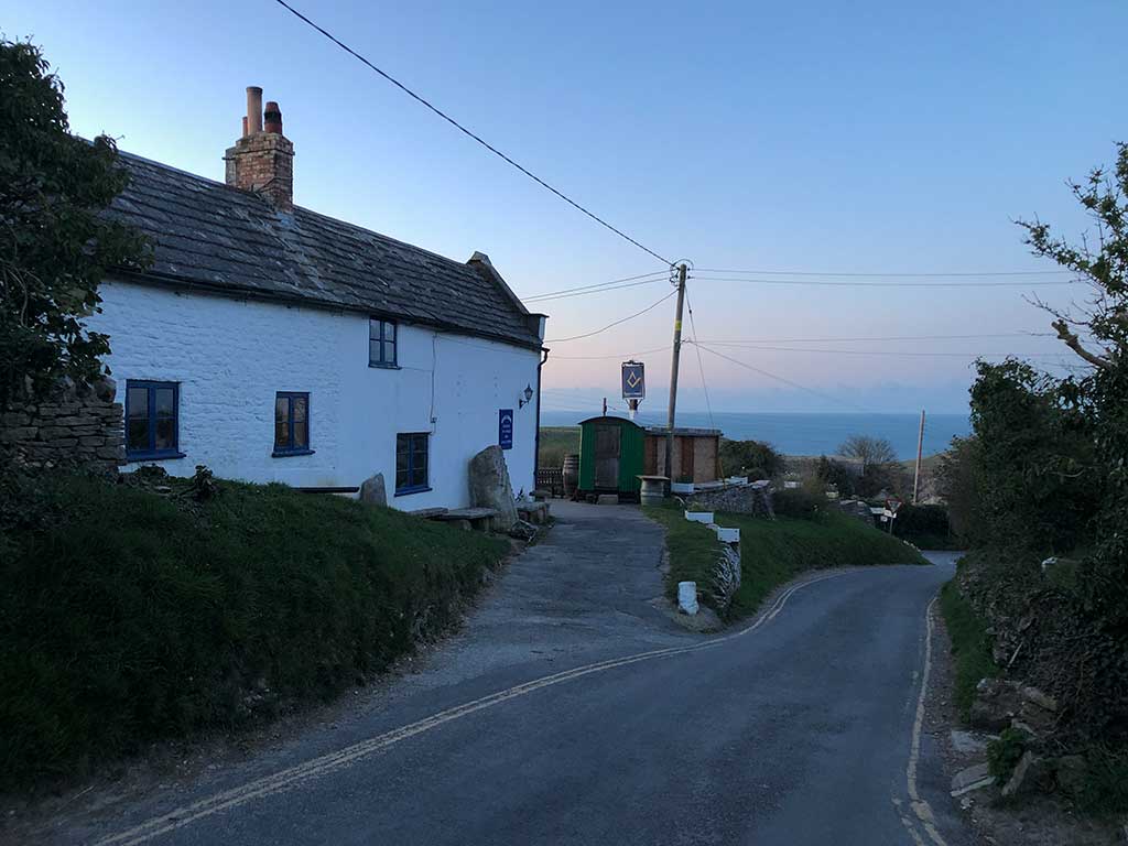
The starting point for this walk is the Worth Matravers car park conveniently located just a few minutes walk from the village centre. There are plenty of parking spaces, CCTV and public toilets which have always been spotless when I’ve visited. Payment is £2 in cash paid into an honesty box! – remember to bring some pound coins as no change is given! The car park is owned by the Worth Matravers Parish Council so all money is used for the benefit of the Parish and visitors.
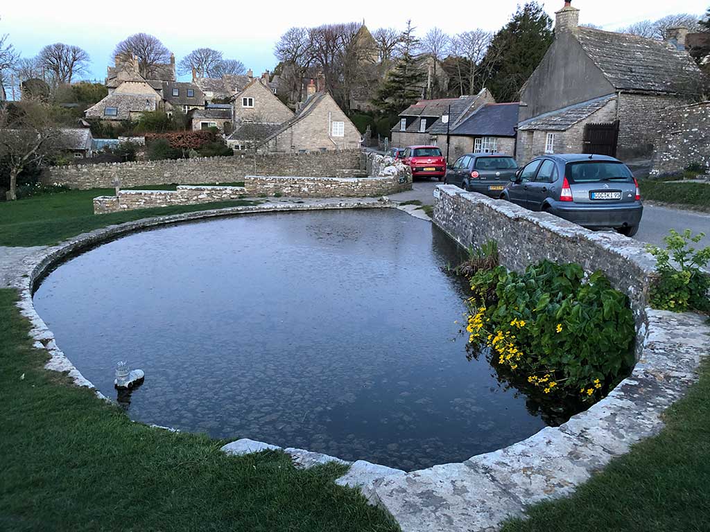
Leave the car park and turn right. You’ll pass the Square and Compass pub on your left. Continue down the road and at the junction turn right. Head for the village green and duck pond which you’ll see in front of you. From the car park to the village green literally only takes two minutes.
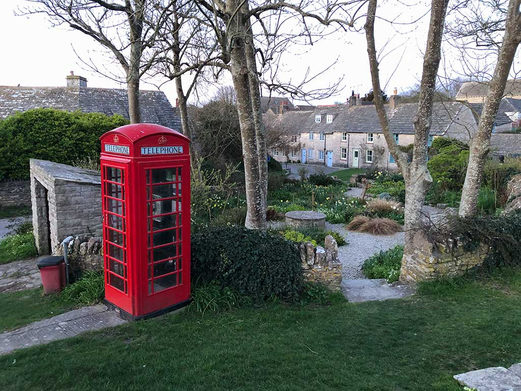
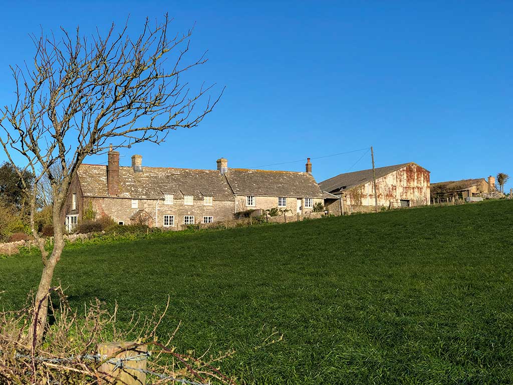
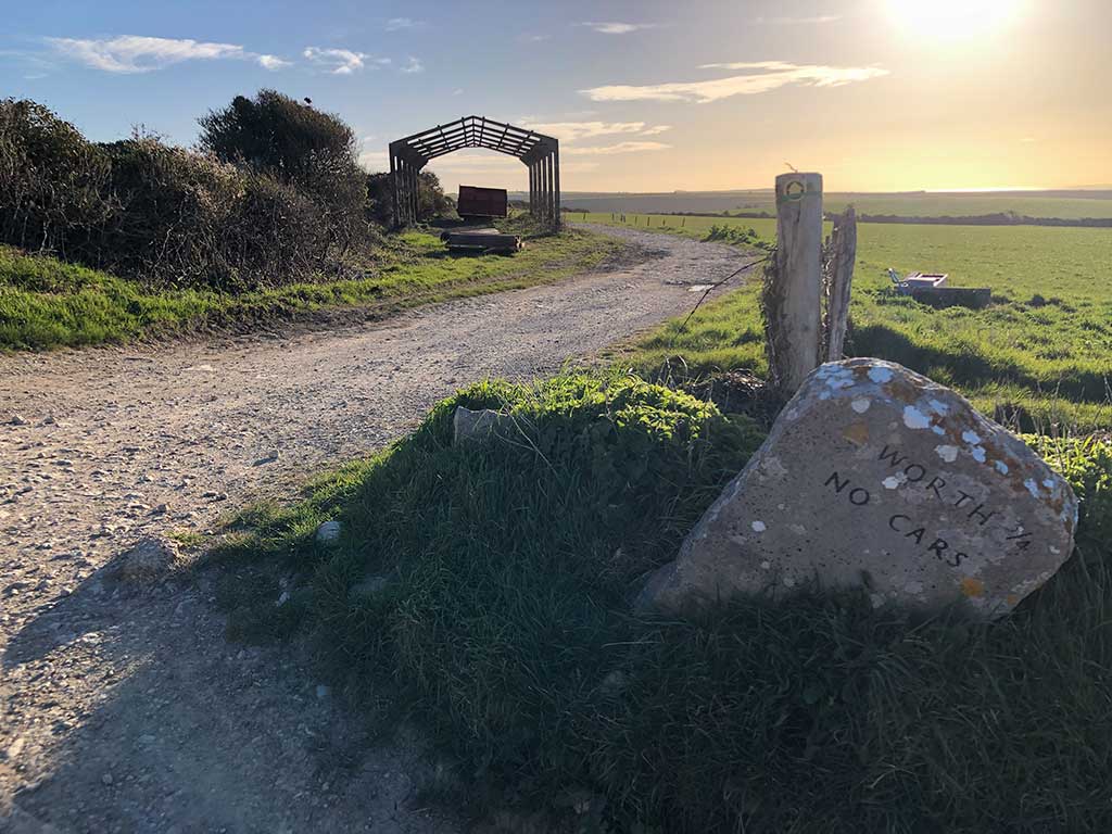
From the village green head for the row of cottages past the phone box. Follow the sign for Winspit (1 mile away)
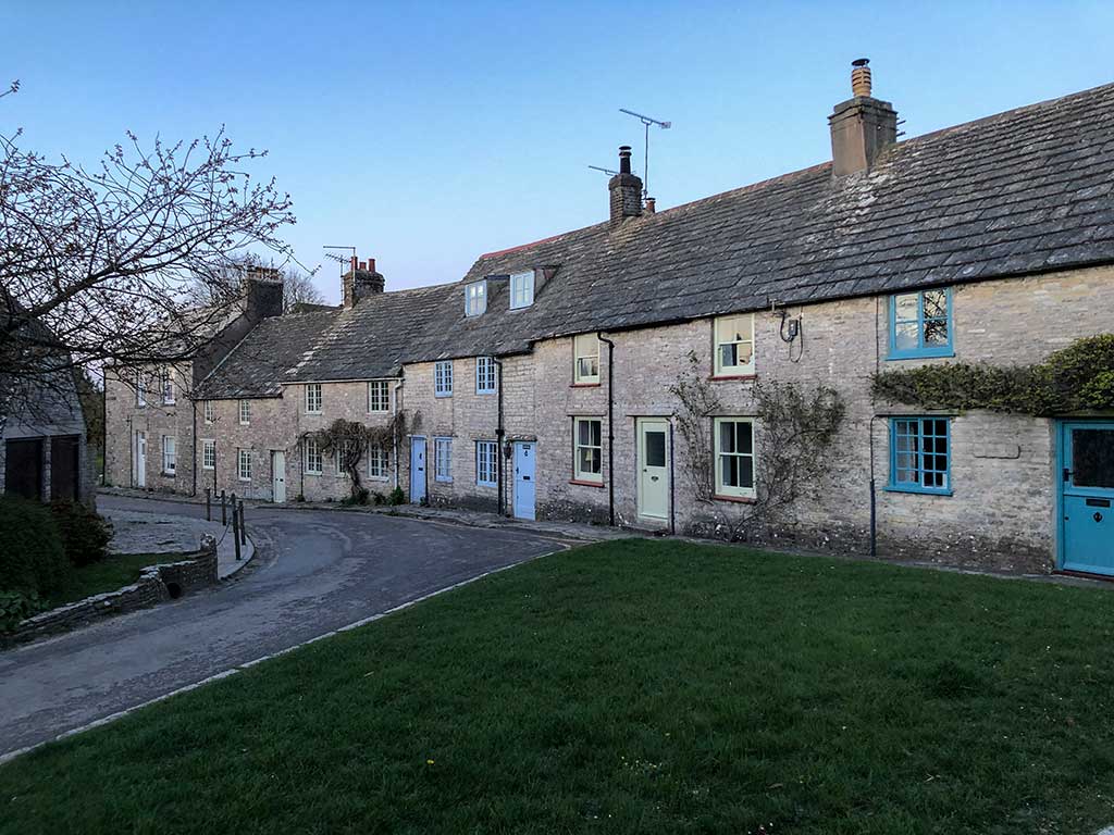
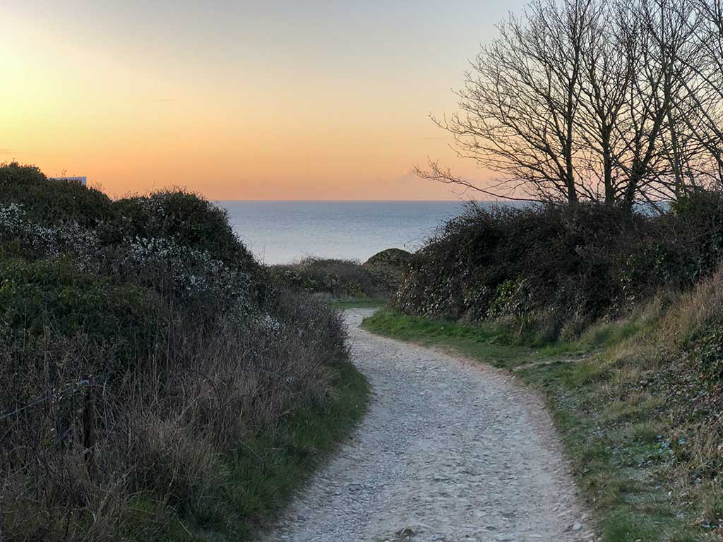
Walk down the road keeping the row of stone cottages on your right. At the end of the road after the last cottage continue along the passage between the two hedges.
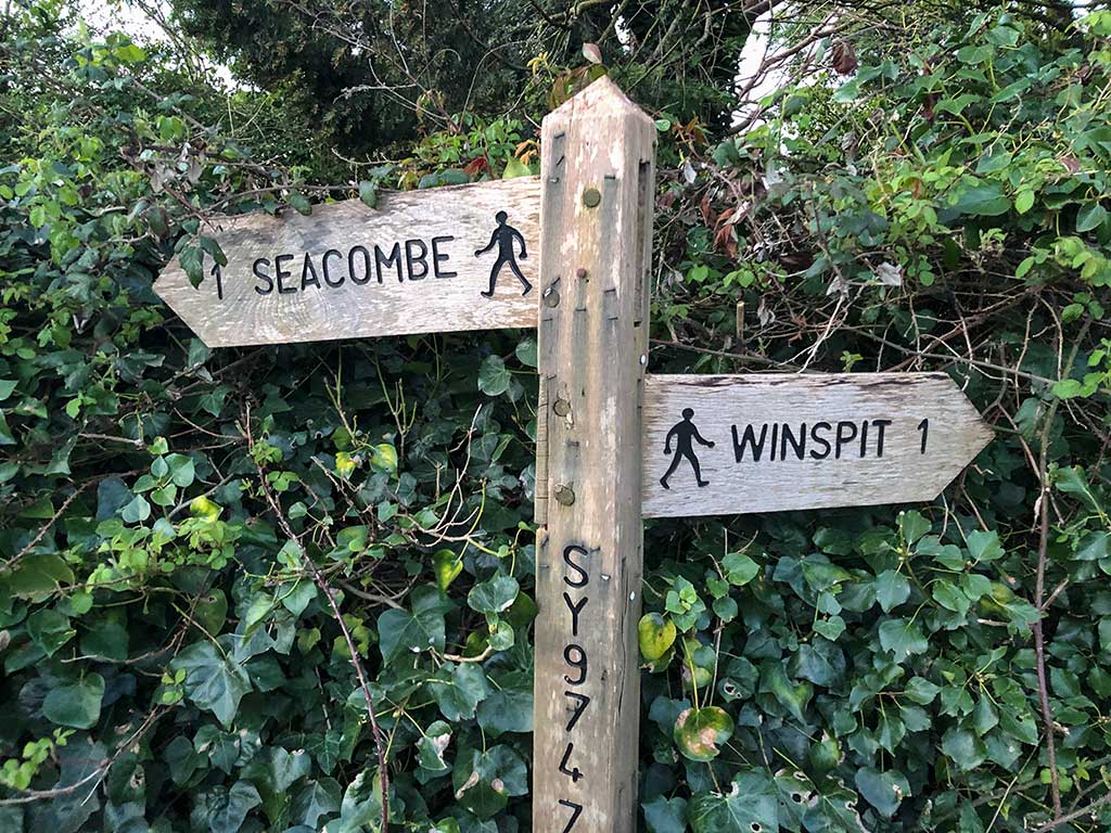
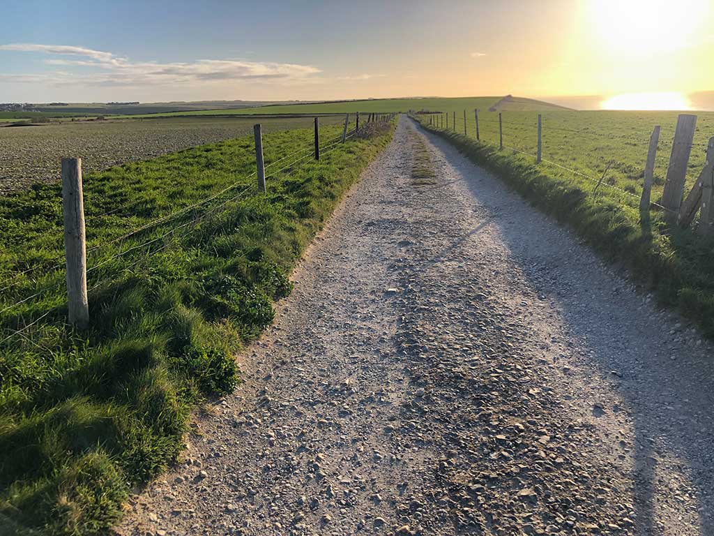
At the end of the passage go through the gate and just follow the path downhill all the way to Winspit on the coast. It’s not difficult to follow.
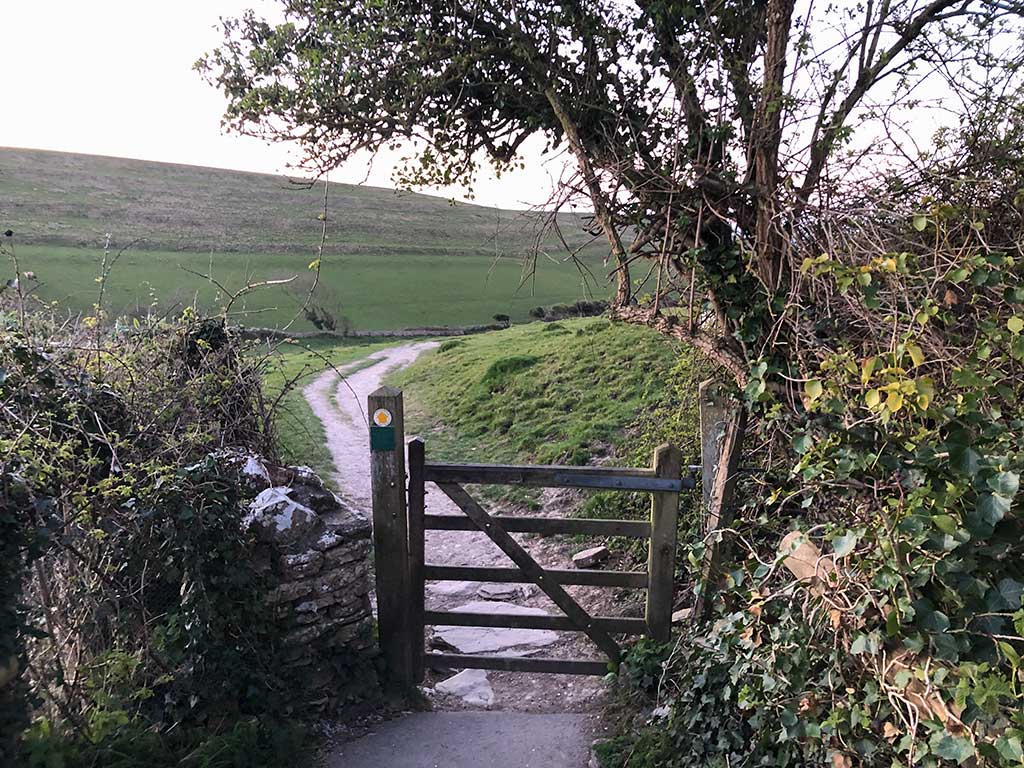
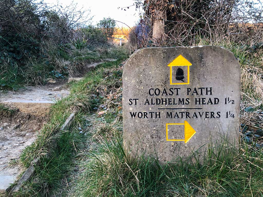
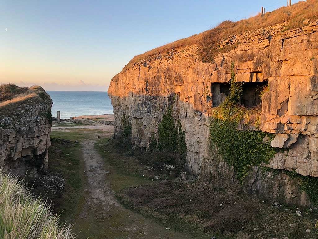
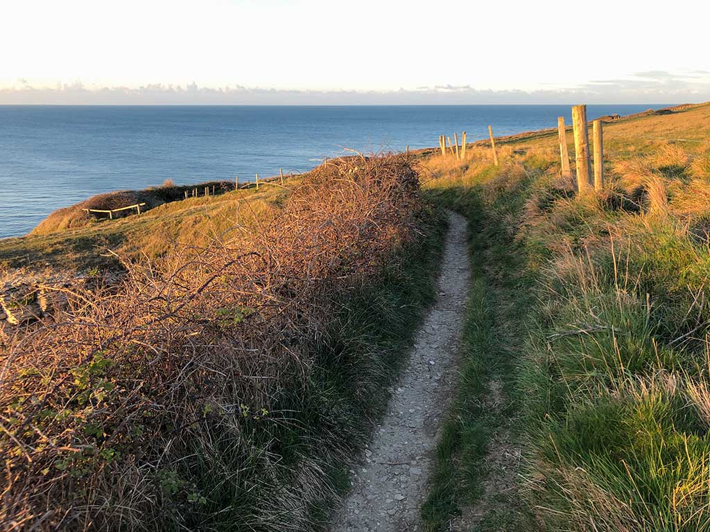
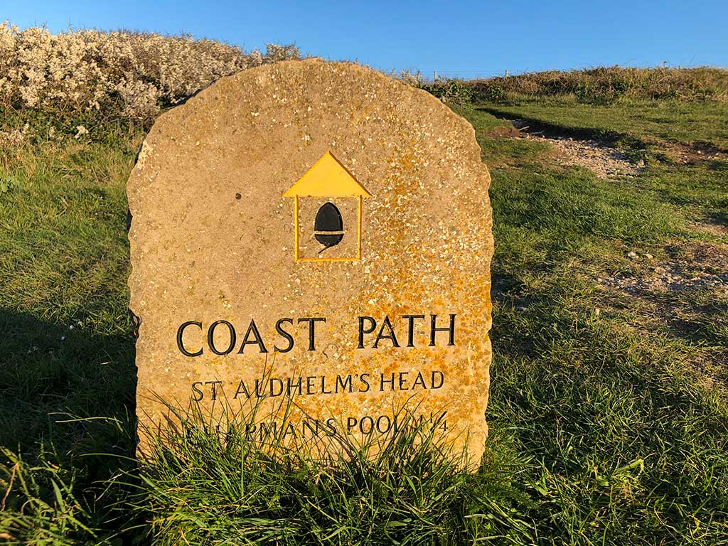
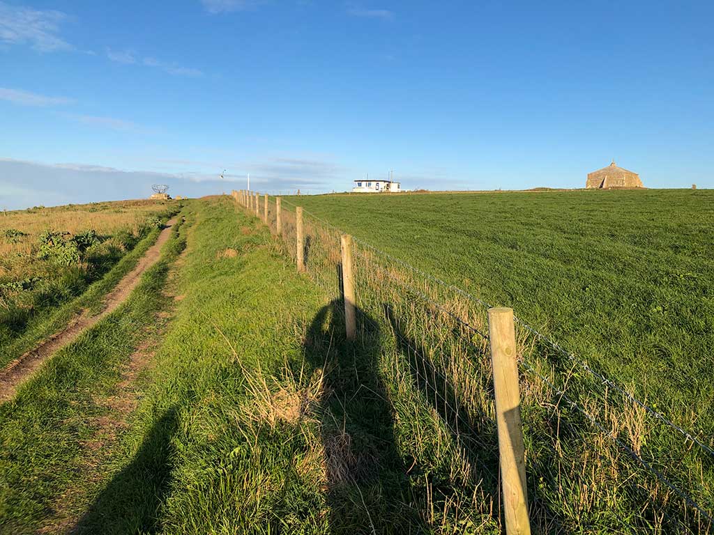
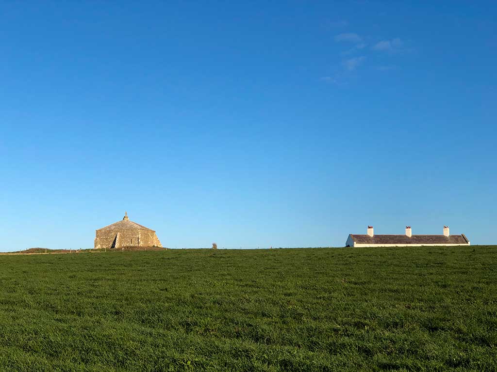
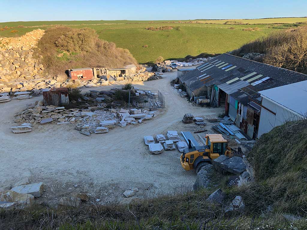
Just before you arrive at Winspit Quarry you take the small path going up the steps on your right. This is the South West Coast Path and leads to St. Aldhelm’s Head as shown by a stone waymarker. The steps lead up to the top of the cliff from where you’ll get good views over the disused quarry below.
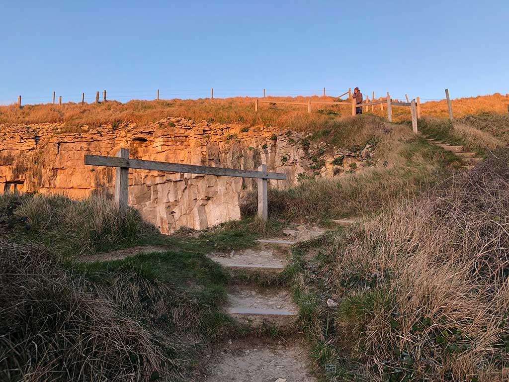
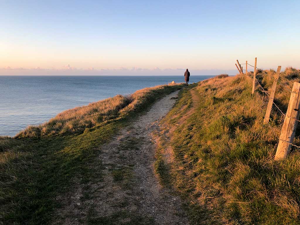
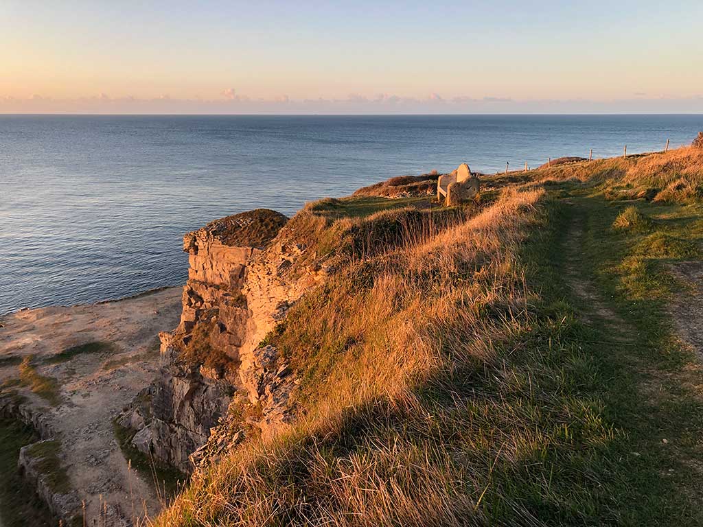
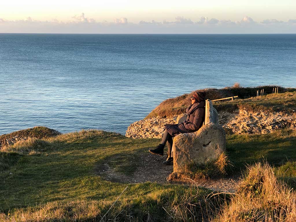
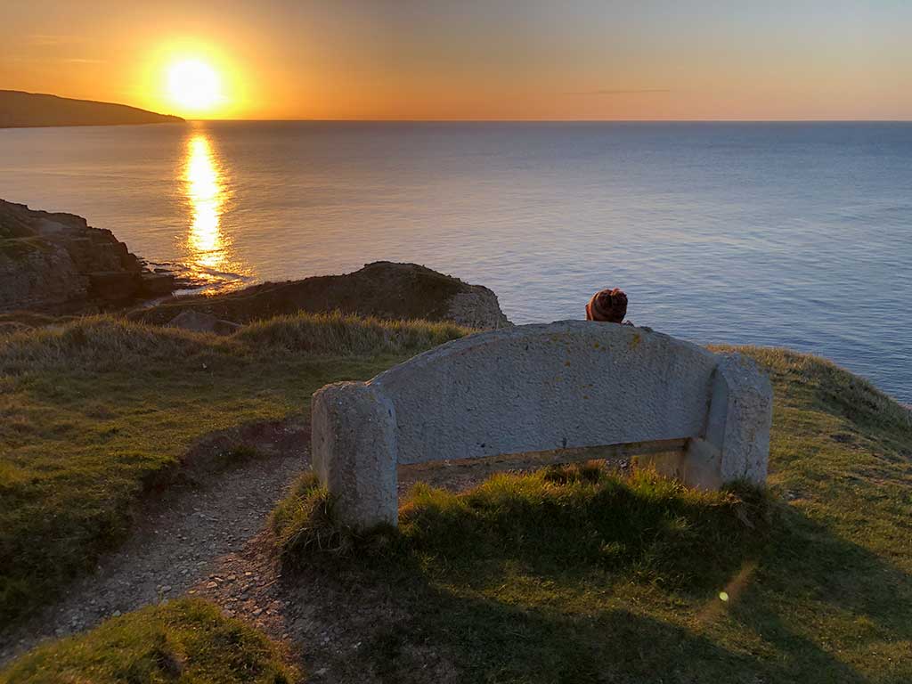
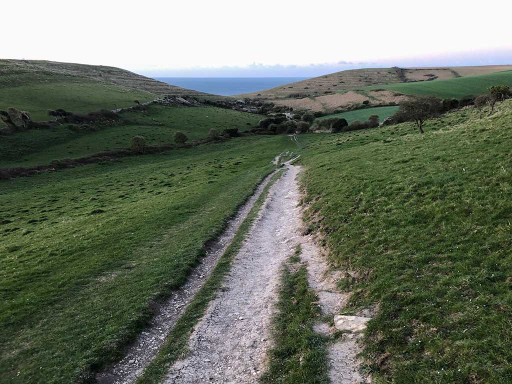
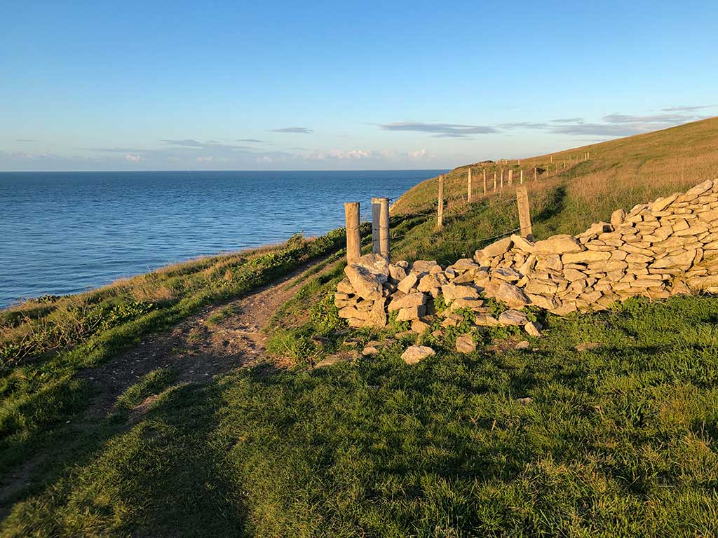
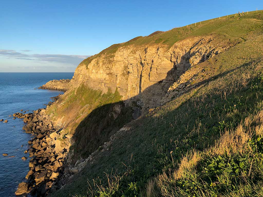
Just follow the path all the way along the coast to the church as St. Aldhelm’s Head. The path is easy to follow. We did this walk in early April but if you do the walk in June and July you’ll be surrounded by wild flowers and butterflies.
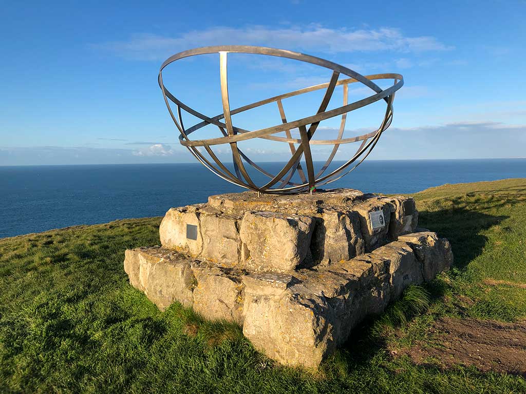
The Radar Memorial commemorates the pioneering work on radar undertaken at Worth Matravers during the World War II.
For a full history see http://www.purbeckradar.org.uk
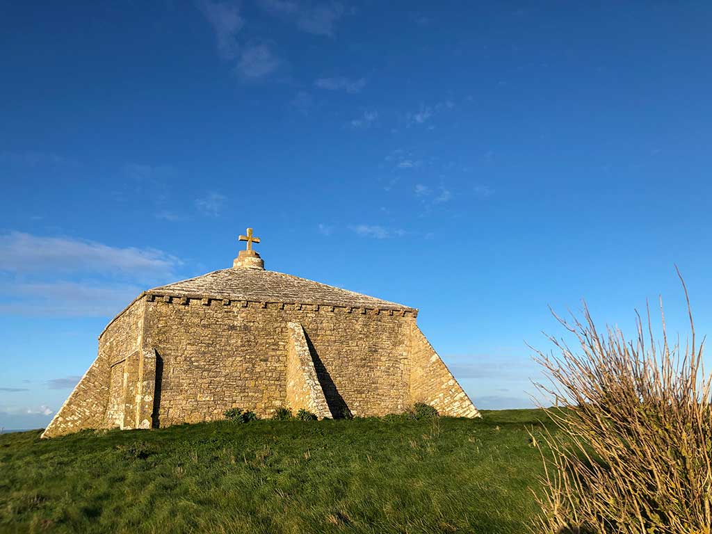
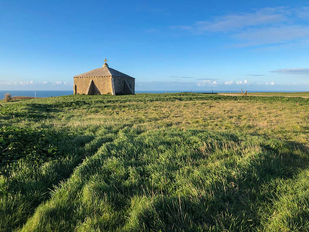
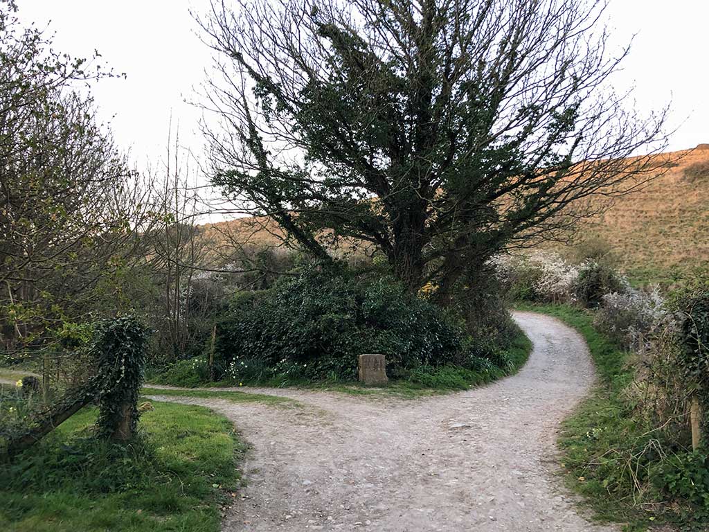
From St. Aldhelm’s Chapel you’ll see a track that will take you back to Worth Matravers village
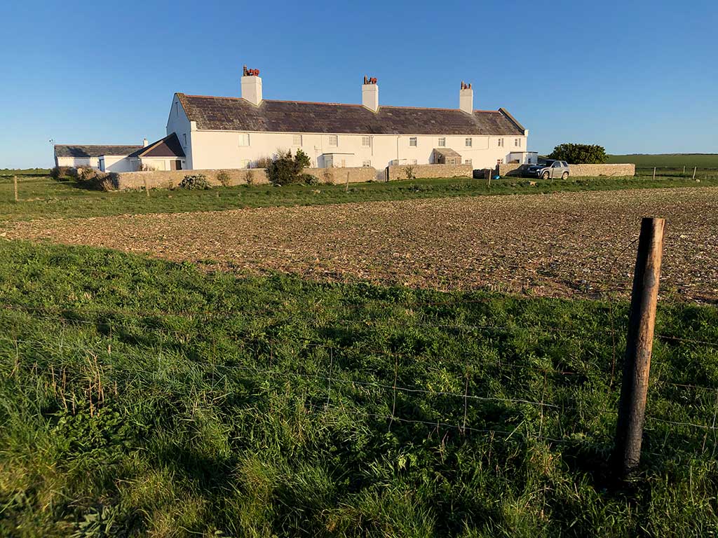
When you see the old farm shed turn right and continue down the track. The track bends round to the left towards Weston Farm. When the track joins the main road turn right and follow the road back to the village.