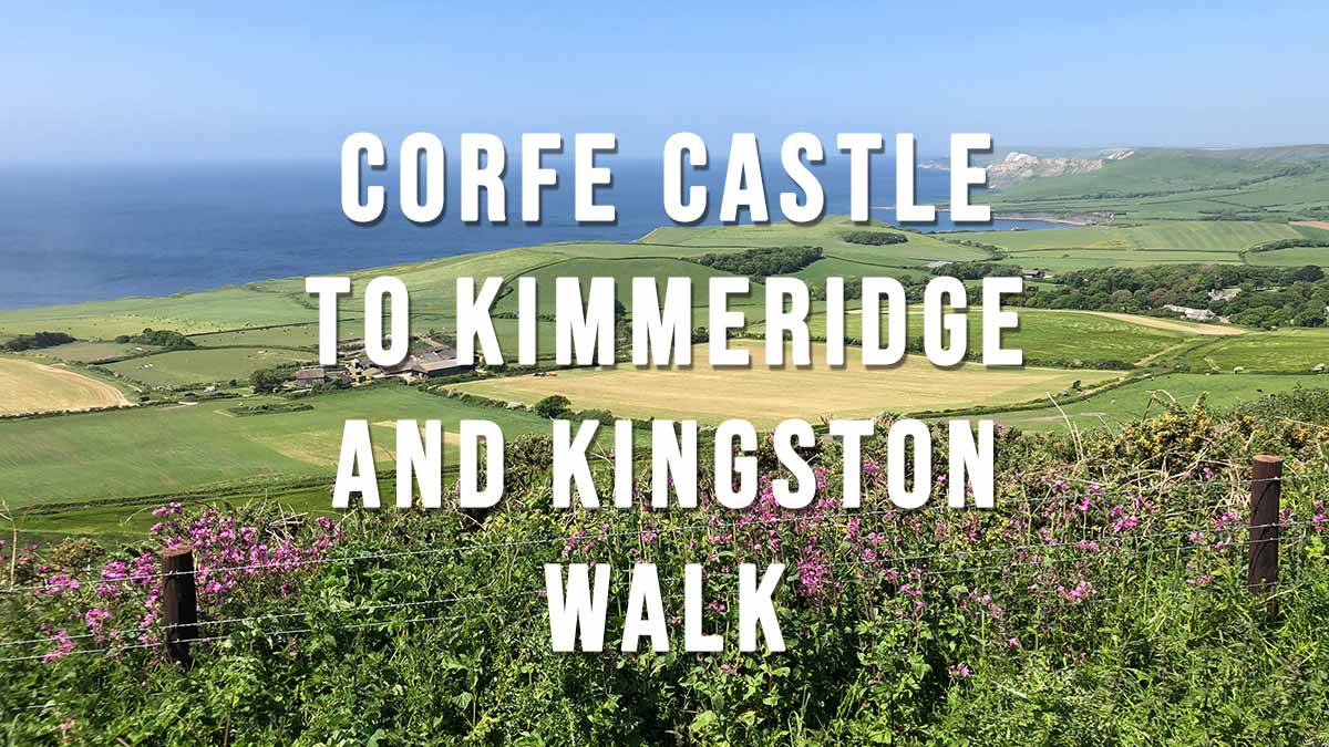
Corfe Castle to Kimmeridge, Swyre Head and Kingston Circular Walk
This is a medium 9.3 mile circular walk taking in some of the most picturesque locations on the Isle of Purbeck including Corfe Castle, Kimmeridge, Swyre Head and Kingston village. On a clear day you’ll get spectacular views as far as Bournemouth Bay, Brownsea Island, Poole Harbour, Swanage Bay, Weymouth Bay and the Isle of Portland.
Being a circular route you can do the walk in a clockwise or anti-clockwise direction and start at any point along the route. For this walk I started in Corfe Castle and walked in an anti-clockwise direction towards Kimmeridge. This allowed me to arrive at the Scott Arms Pub in Kingston in time for lunch.
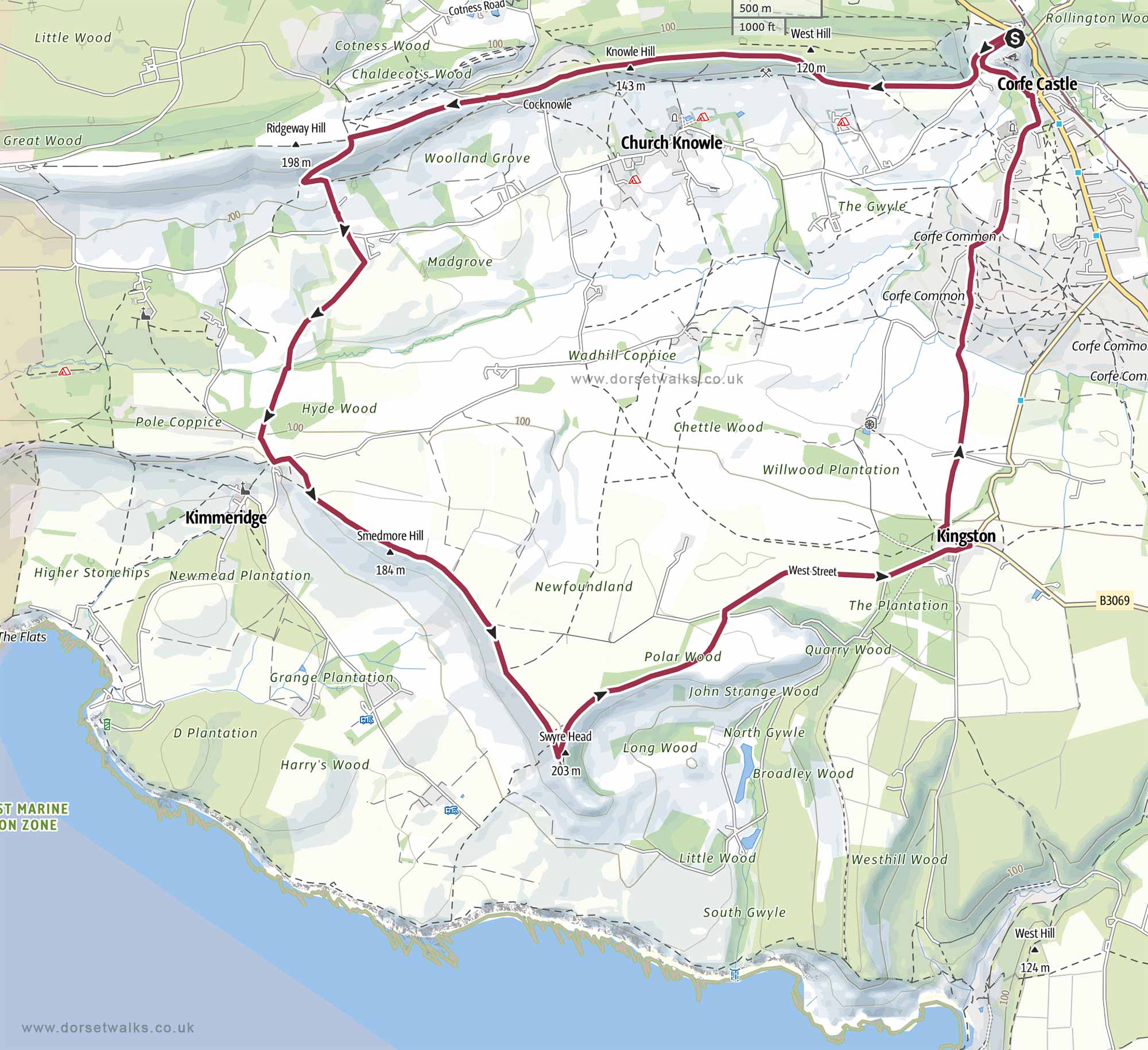
Distance: 9.3 miles (circular) Difficulty: Moderate Estimated time: 4 hours 15 minutes Total ascent 1161ft, Highest point 669ft Starting point: National Trust Car Park Corfe Castle BH20 5DR* (see notes on parking below) OS Map: Explorer OL15 Purbeck & South Dorset Date of walk: 26th May 2023
Corfe Castle to Kimmeridge and Kingston Circular Walk 9.3 miles
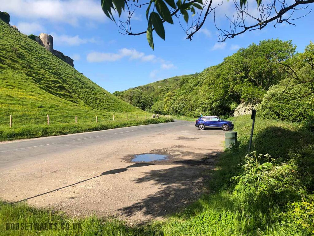
The cheapest and most convenient car parking spot for this walk is the lay-by on the right hand-side just as you turn off the A351 and onto the Corfe Castle to Church Knowle Road (Google map of lay-by car park). It’s free to park with no time restrictions however it fills up very quickly at weekends and during the holidays season (try to get there before 9am and you might be lucky). Alternatively you can park just over the road in the National Trust Car Park BH20 5DR (Google map) where you can also find the National Trust Corfe Castle Visitor Centre which has toilets and a cafe. National Trust Members can park there all day for free but non-members have to pay £5 and are restricted to a maximum of 4 hours – so not really suitable for this walk unless you are a very quick walker. We actually took nearly 6 hours to complete the walk because we took a detour to Kimmeridge Village and also stopped for a pub lunch at the Scott Arms in Kingston. I would therefore suggest parking at the Purbeck Park BH20 5DW which is about half a mile outside Corfe Castle (Google map) £4 up to 10 hours https://www.dorsetcouncil.gov.uk/
If you don’t mind starting at an alternative point along the route of the walk you could consider using the Kimmeridge Quarry car park (Google map) or the Kingston car park (Google map) or Kingston Swyre Head Car Park (Google map) all of which are en-route and free but more remote so don’t leave valuables in your car.
Walk Route Description and Photo Gallery
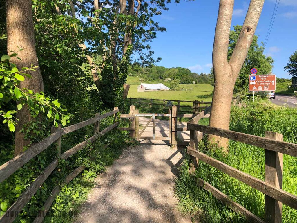
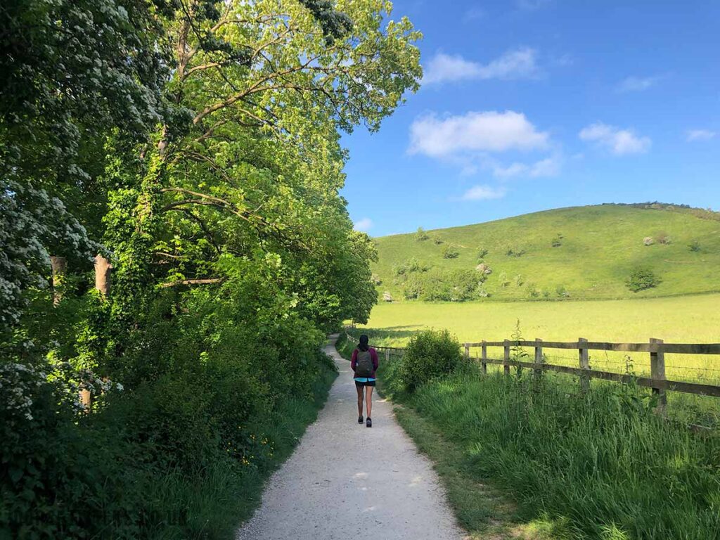
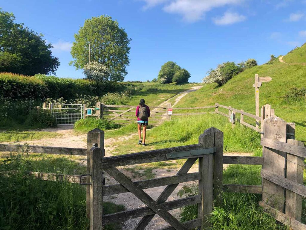
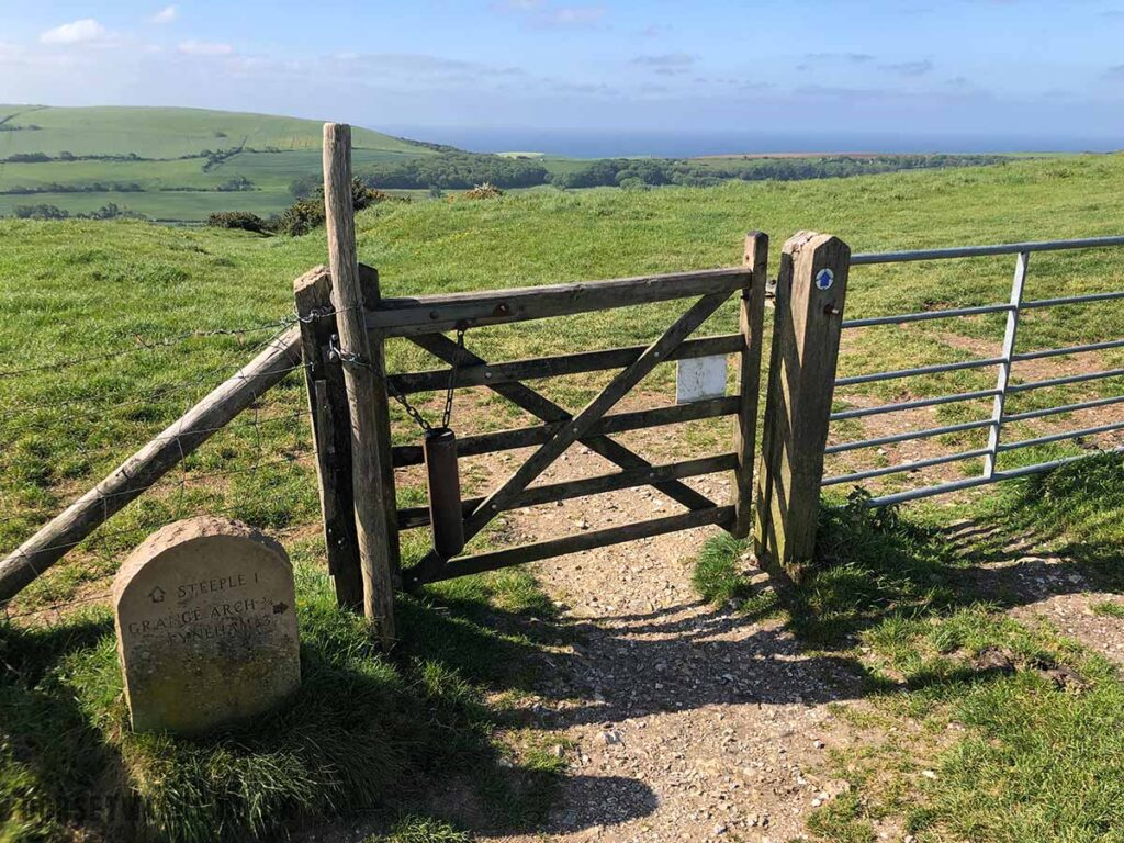
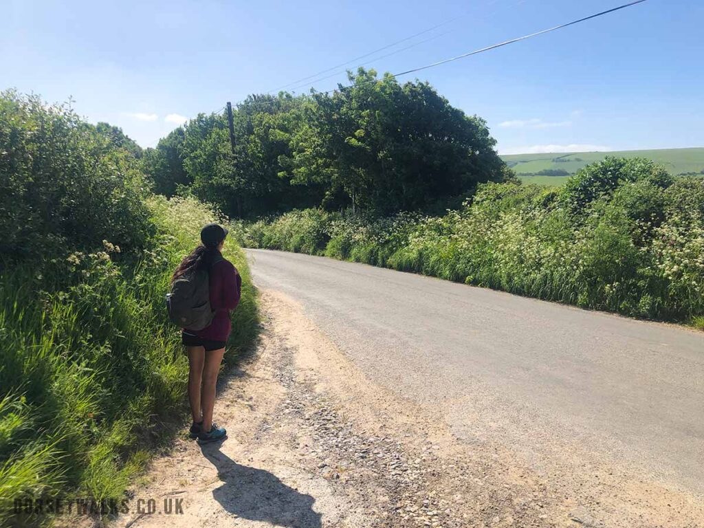
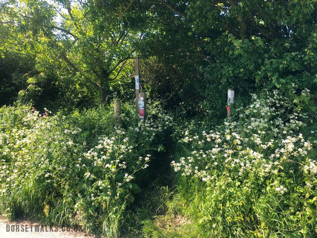
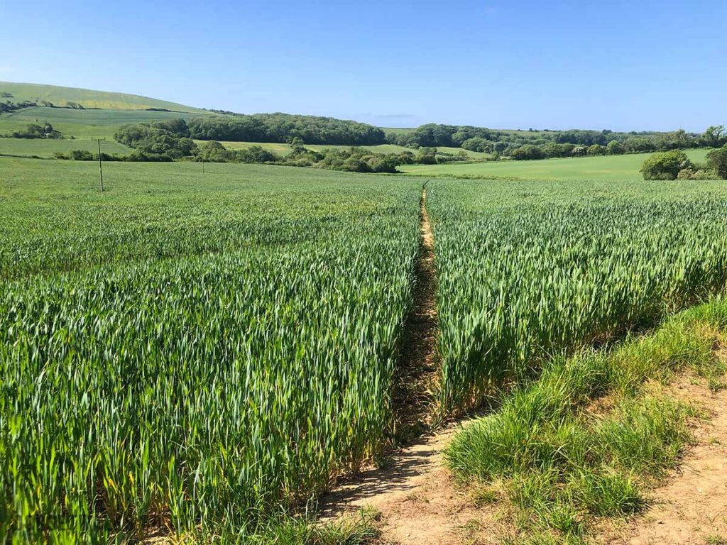
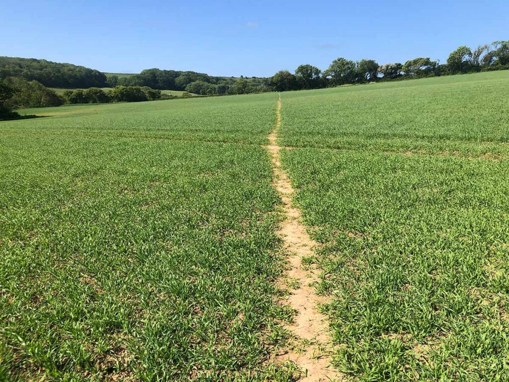
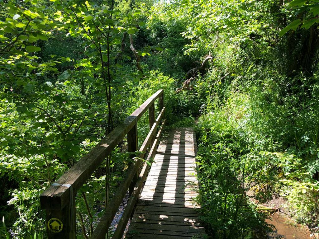
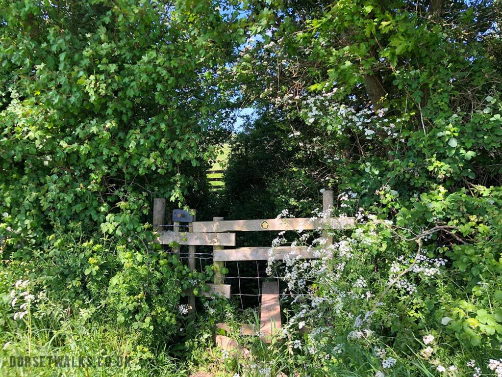
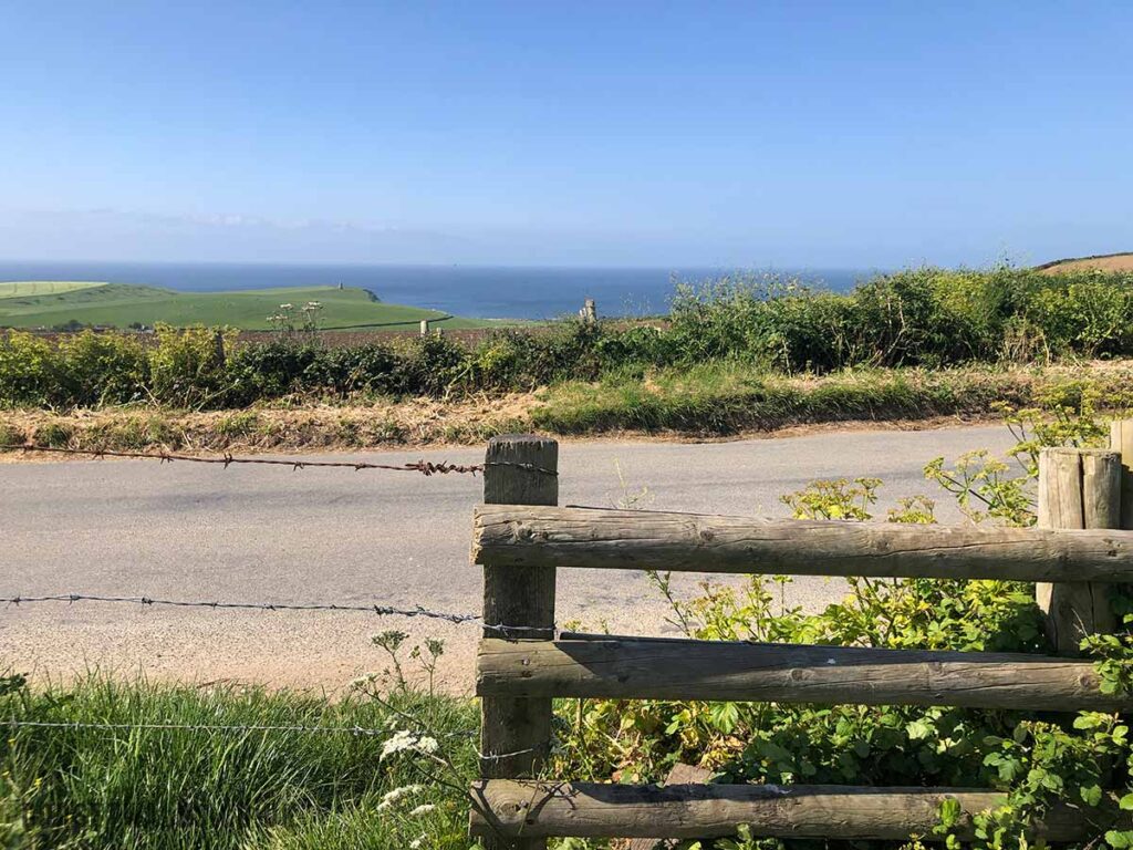
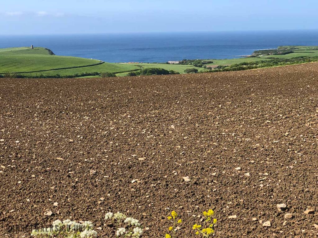
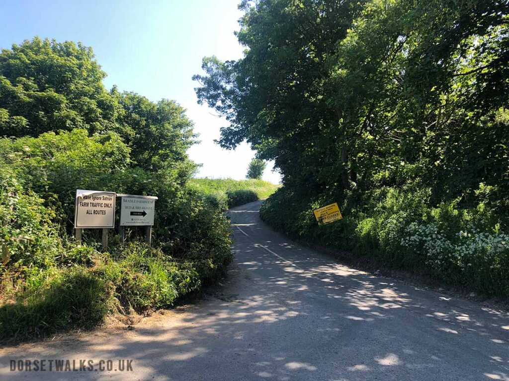
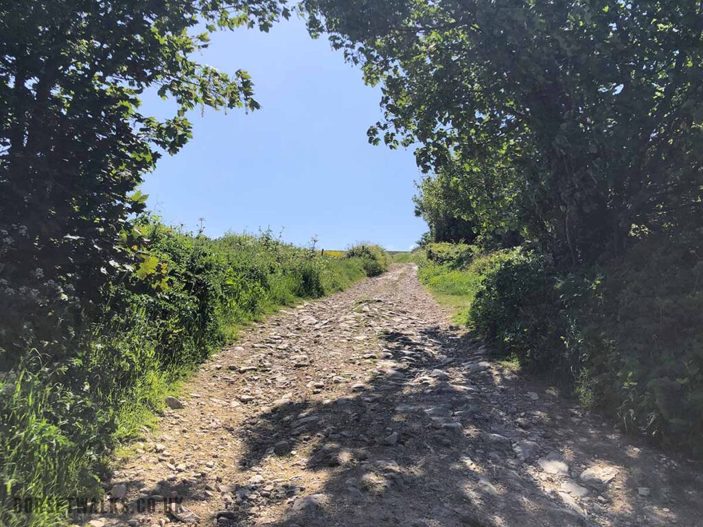
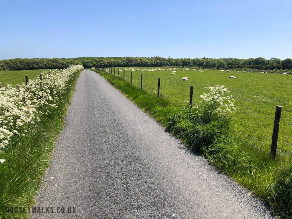
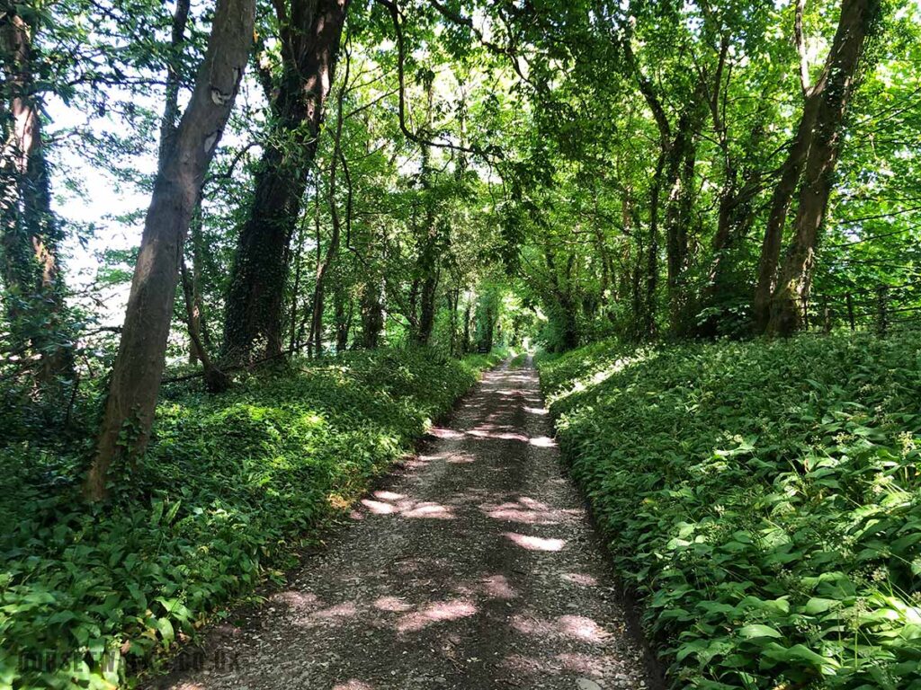
Start of walk. Corfe Castle lay-by. Google mapGate at start of the walk (Google map) is just opposite the National Trust Car ParkJust follow the pathFollowing the route of The Hardy Way skirting the bottom of West Hill.Walking along Knowle HillViews from Knowle Hill looking south over farmland around Church KnowleThe path drops down to the road and then up a track on the other side along Ridgeway HillAbout half a mile after the road go over the stile on your left. Go straight over and follow the path down the hill which bares round to the right.This is the path going down hill. At the bottom you follow the path sharp left and continue for 100m until you see the gate below.Go through the gate and follow the path keeping to the left of the field. At the end you’ll come to a lane which brings you onto the road. Once you reach the road look left and you can see a telegraph pole. Nearby is a signpost marking the route of the footpath. It’s easy to miss and it’s a bit overgrown. Entrance to the footpath is marked by a signpost. Follow the footpath through a wooded area and out the other side.You’ll come to a field. The footpath goes through the middle of the field as shown. Over a stile in the hedgerow and then through another field to the corner where you enter a small wooded area.Over the wooden bridge. Over a couple of stiles and up the other side and you’ll see a stile by the road. Over the stile and turn left walking along the road for 100m. If you stay on the road it will pass through Kimmeridge Village and take you to Kimmeridge Bay. There are great views of Kimmeridge Bay on your left. You can see Clavell Tower on the left of the photo.The main road continues all the way to Kimmeridge Village and Kimmeridge Bay beyond, however we are going to take the first lane on the left. Follow the lane for about 150m and then take the track on the right.
At this junction in the road you can decide whether to take a slight detour to Kimmeridge Village (0.4 miles each way) or even as far as Kimmeridge Bay (1.4 miles each way). In Kimmeridge Village there is a good cafe/restaurant Clavells Restaurant (Google map) https://clavellsrestaurant.co.uk where you can get breakfasts, lunch, coffee, ice creams etc. You can also find The Etches Collection Museum of Jurassic Marine Life (Google map) https://www.theetchescollection.org. Kimmeridge Village is also full of picturesque stone cottages with pretty gardens.
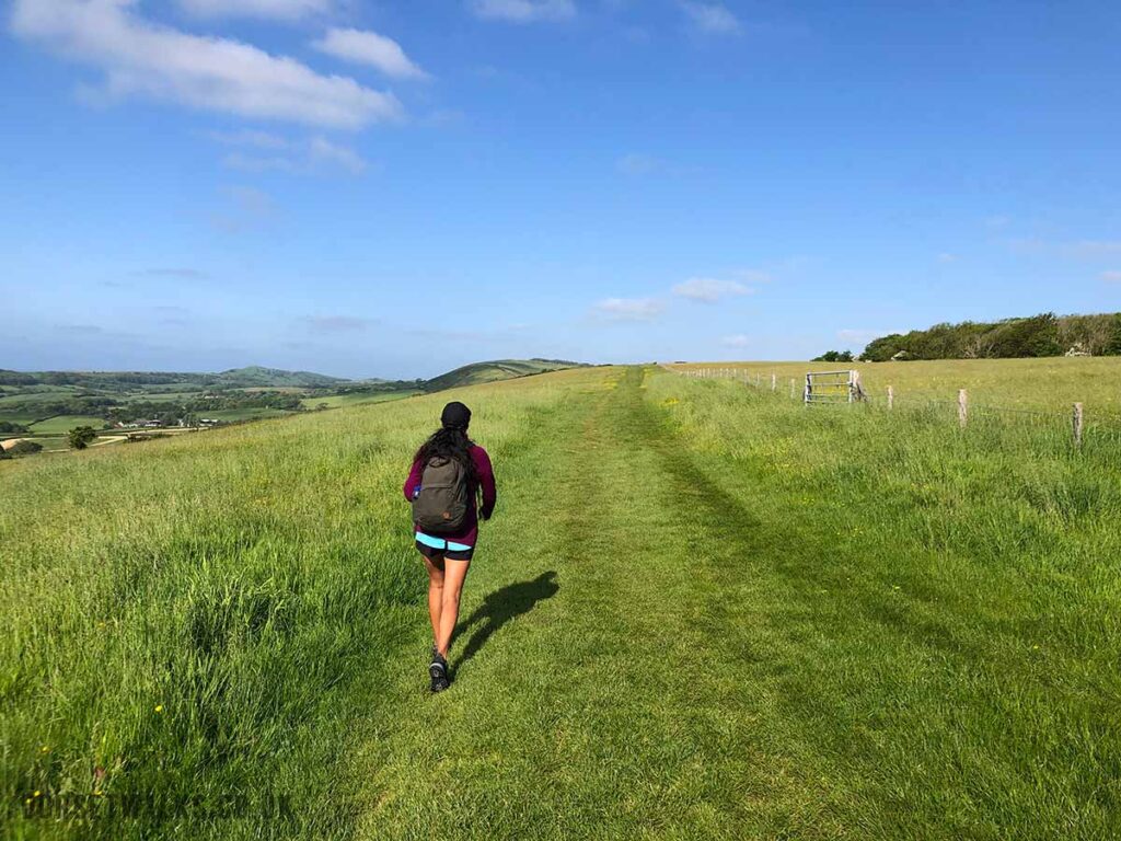
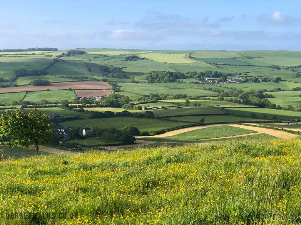
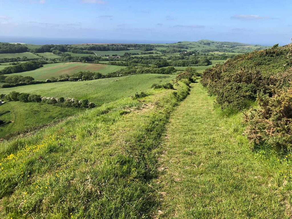
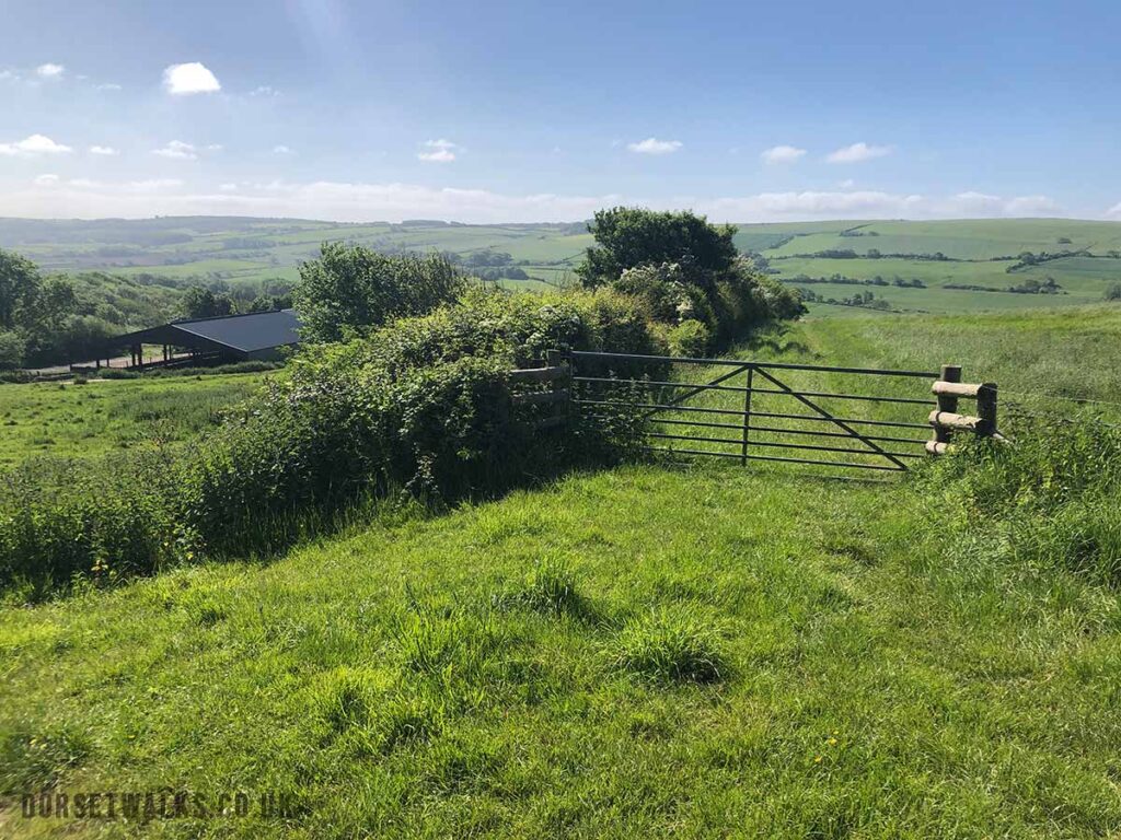
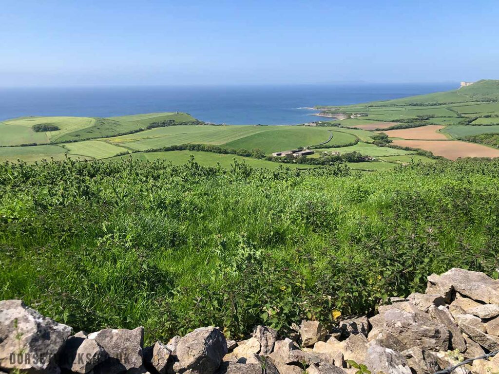
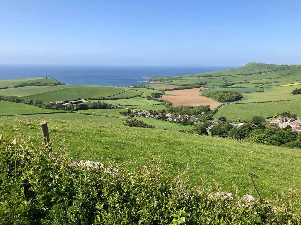
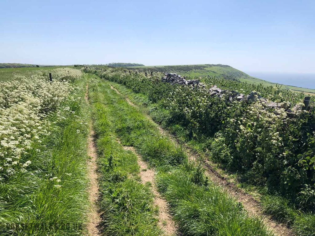
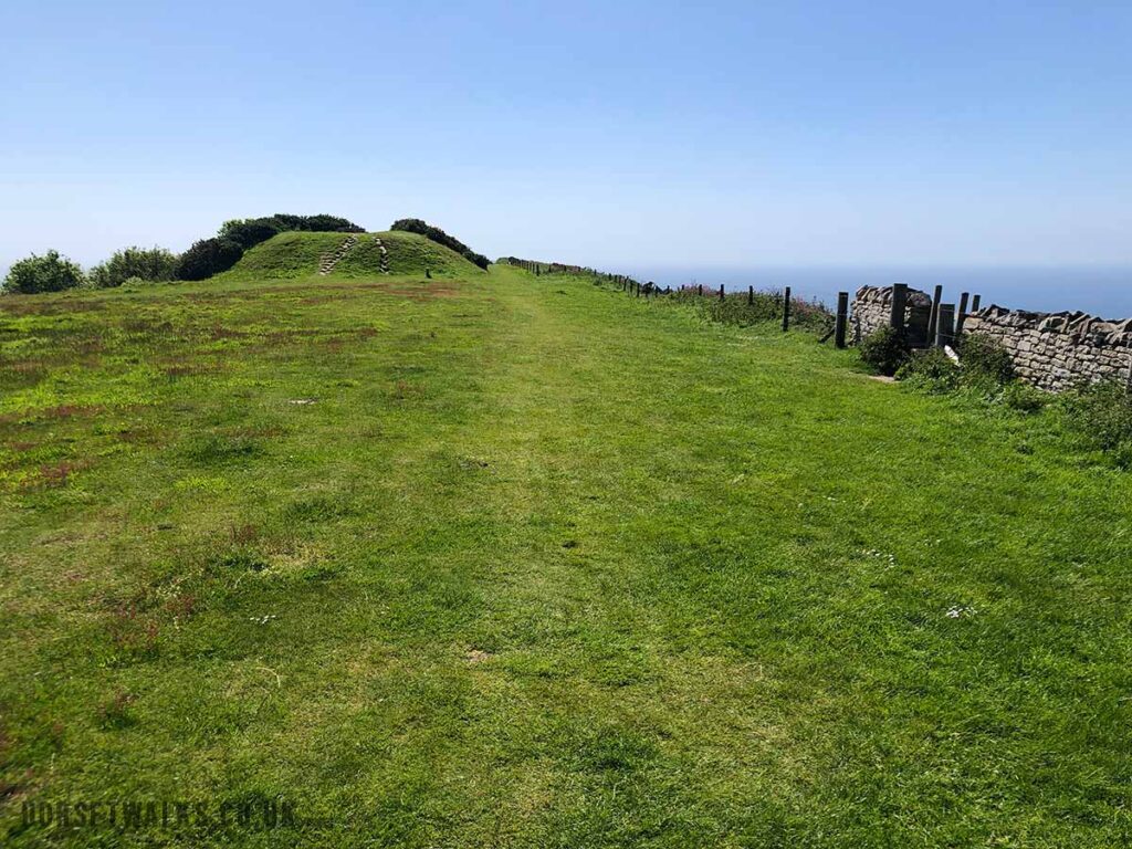
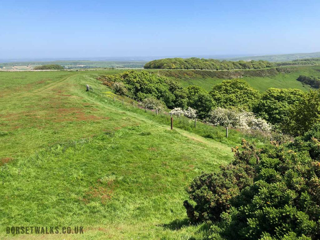
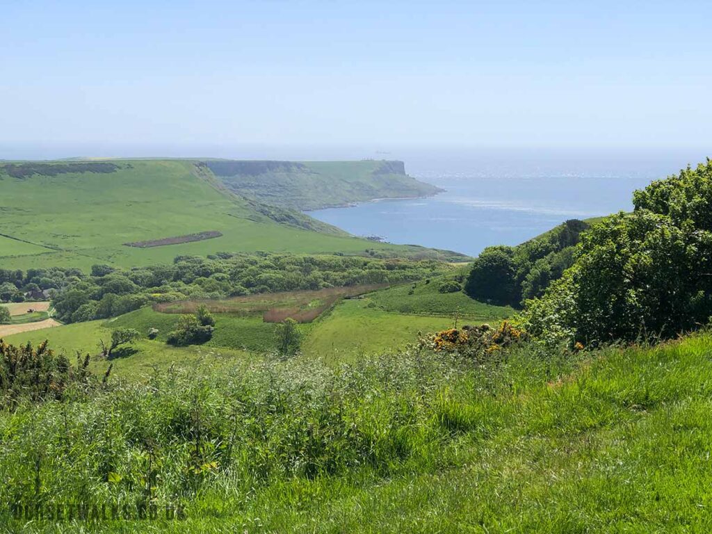
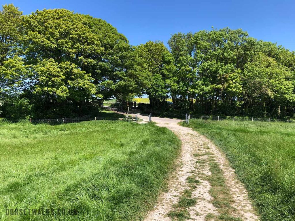
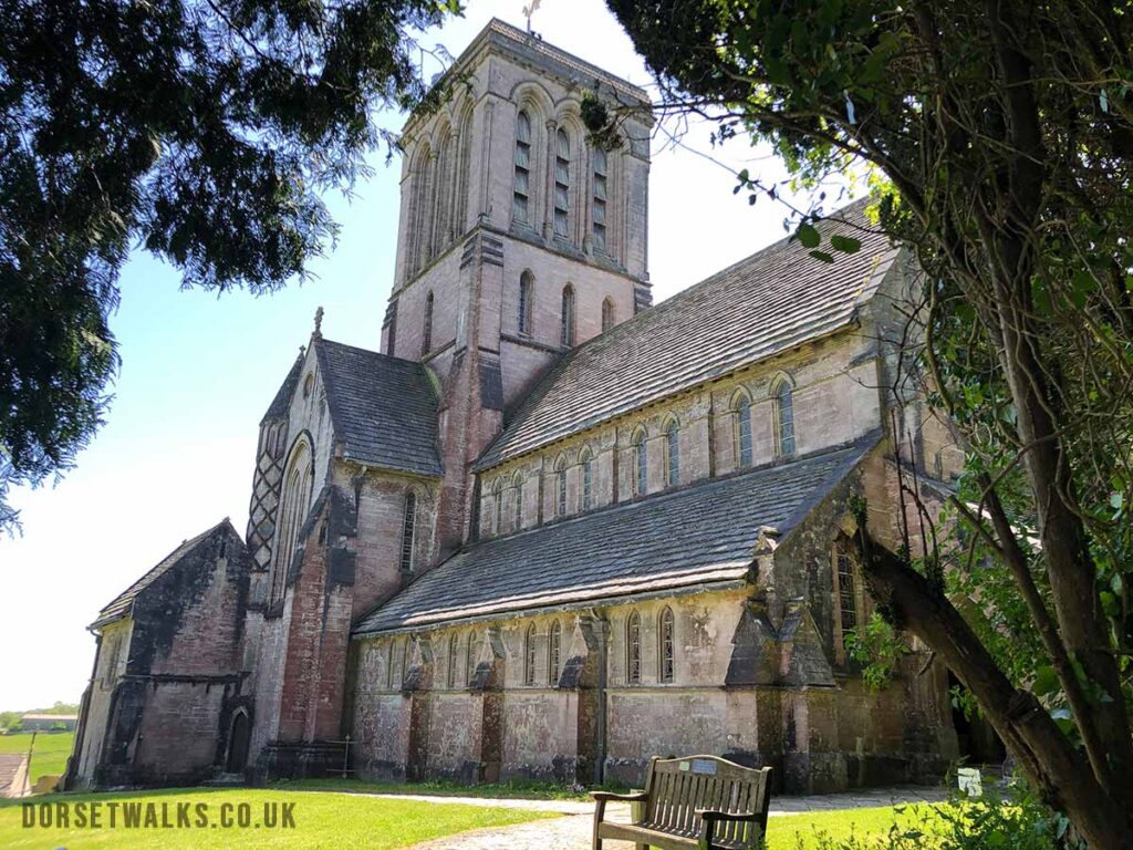
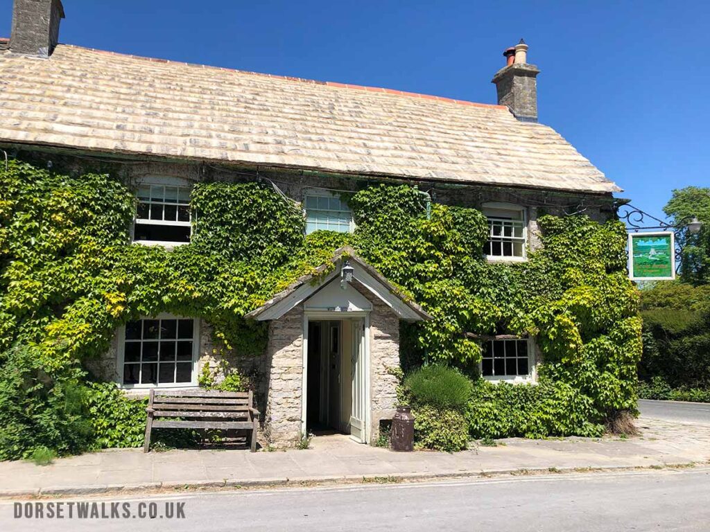
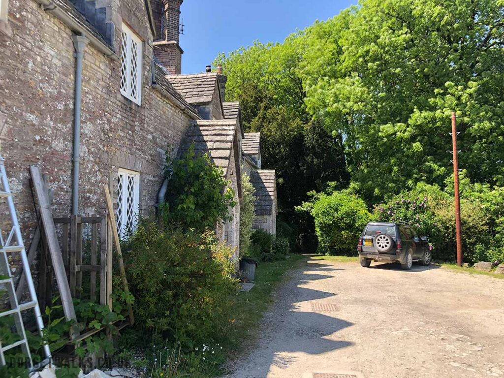
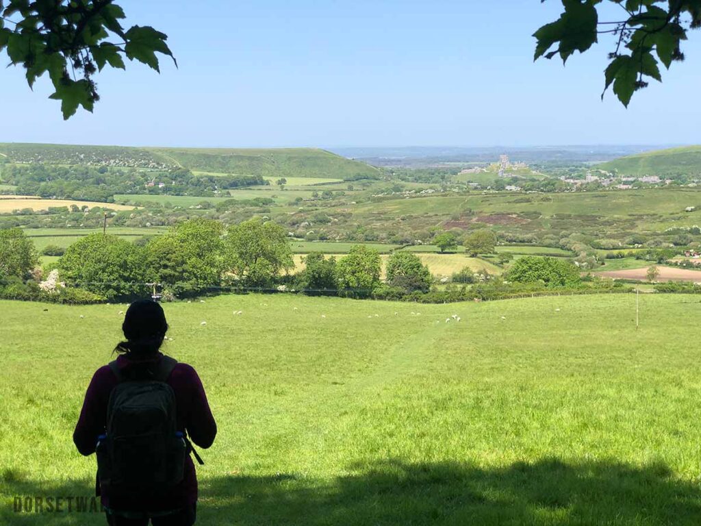
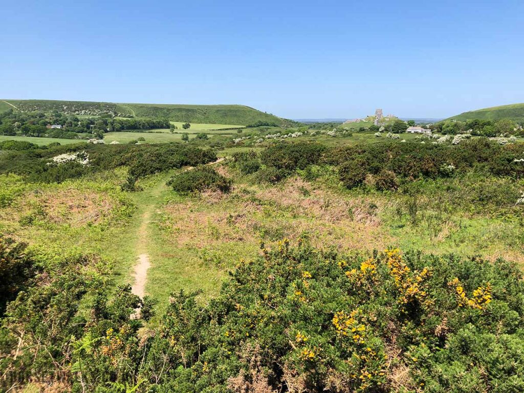
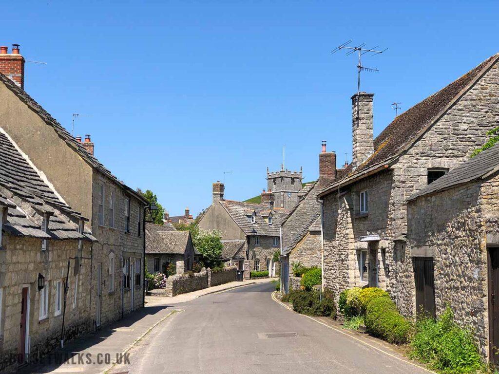
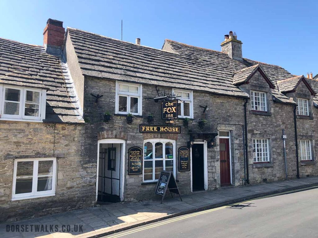
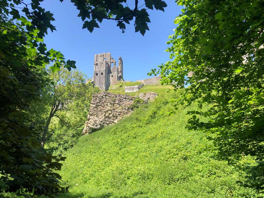
Just stay on this same track / path all the way to Swyre Head.Stunning views on your left of Kimmeridge Bay and as far as the Isle of Portland. You can still see Clavell Tower below.Arriving ar Swyre Head. This is the highest point in the Purbeck Hills offering great views. The Ordnance Survey Map shows it as being 203m at the trig point. There is a small hill or Tumulus (ancient burial mound or barrow) which looks a touch higher and it a great place to sit and rest for a while and enjoy the spectacular views.From Swyre Head turn north-east following the footpath past Polar Wood and towards Kingston VillageYou can see Chapman’s Pool on your righted even the white row of Coastguard’s Cottages at the end of St. Aldhelm’s Head.The path passes through the wood. Just on the other side is Swyre Head Car Park (Google map) From the car park follow the road to Kingston Village. Kingston is famous for its incredible church which looks more like a cathedral. St. James’s Church (Google map)In Kingston you will also find The Scott Arms (Google map) https://www.thescottarms.com which is a great place for a pub lunch. The pub garden has stunning views of Corfe Castle and is very popular with walkers and cyclists.To the left of the Scott Arms and at the back of the pub car park is a small lane (called The Lane). Just follow it round and past the final set of stone cottages, Go through the gate at the end and the path bares round to the right. It should be signposted. Follow the lane round. You’ll see the footpath on the left with views of Corfe Castle.Just follow the path in the direction of Corfe Castle. The path goes through Corfe Common and meets with a paved road. Just follow the road to the right which will bring you into Corfe Castle. Entering the village of Corfe Castle.The Fox Inn, Corfe Castle. I haven’t included photos of Corfe Castle Square or of the castle itself. More info can be found at https://www.dorsetguide.com/corfe-castle-village/ At the entrance to the Castle (National Trust ticket office) you’ll see a path to the left. This will bring you back to the car park. You will also get some nice views of Corfe Castle on your right.