Colmers Hill Walk

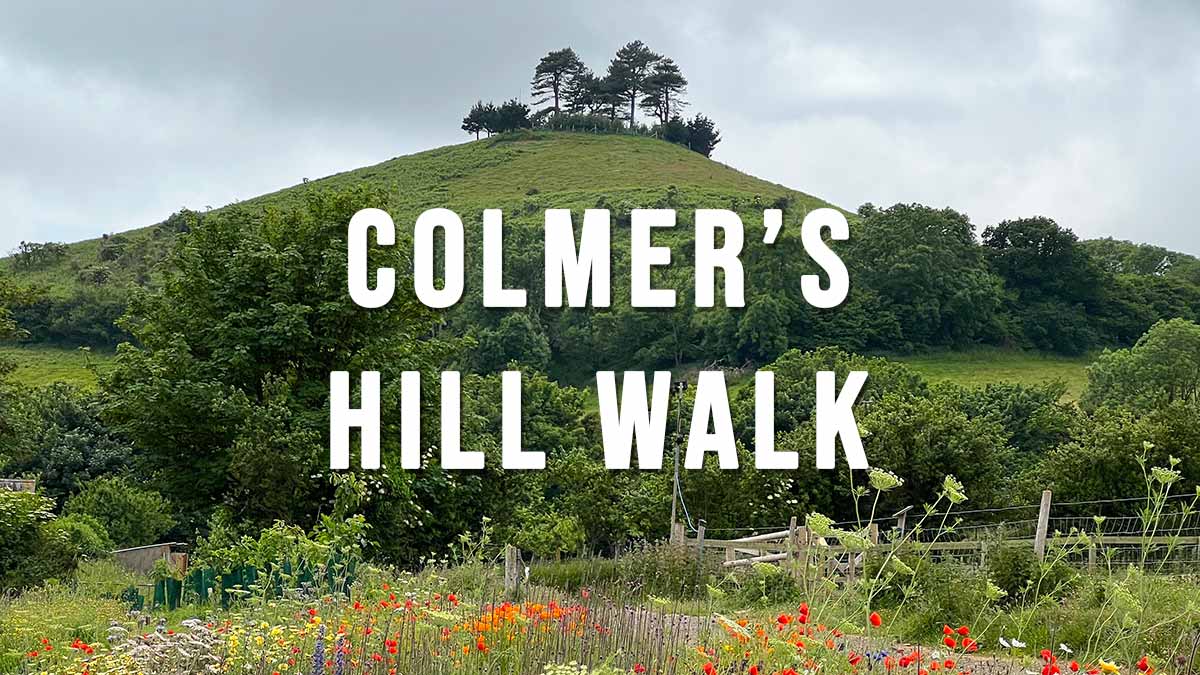
Colmers Hill is one of the most recognisable scenes in the West Dorset landscape, this iconic conical-shaped hill rises 417 feet above the village of Symondsbury on the edge of Bridport. It has been part of the Symondsbury Estate for over one hundred years and is open to the public with a permissive path up to the top. There are several walks in the area, the shorter Colmers Hill Walk is described below.

Distance: 1.6 miles Circular
Difficulty: Easy
Estimated Time: 1 hour
Ascent: 295ft, Highest Point 417ft
OS Map: OS Explorer 116 Lyme Regis & Bridport
Date of Walk: June 202

Continue reading “Colmers Hill Walk”

The Anchor Inn Seatown

The Anchor Inn is located just seconds from the beach at Seatown. The pub stocks a varied selection of real ales from Palmers Brewery which is just up the road at Bridport and has been supplying West Dorset since 1794. Not only do they serve excellent food and drinks but also offer accommodation with all rooms having stunning sea views.

The Anchor Inn
Seatown, Bridport, Dorset, DT6 6JU
Tel 01297 489215
opening hours Mon-Sun 12:00-22:00

Continue reading “The Anchor Inn Seatown”

Manswood Walk

Manswood is a small hamlet located 1 mile north west of Witchampton and 1 mile west of Moor Crichel in the soft rolling hills of Cranborne Chase. Manswood Walk is a circular walk that takes you through conifer plantations, coppiced woods and arable farmland.

Distance: 3.5 miles Circular walk
Difficulty: Easy
Estimated time: 1 hour 45 mins
Date of walk: late August 2022
Map: OS Explorer 118

Continue reading “Manswood Walk”

Ordnance Survey OS Maps of Dorset

OS Maps of Dorset: Ordnance Survey offer two types of paper map of Dorset depending on the level of detail required: the OS Explorer series is better for walkers and off-road mountain biking while the OS Landranger series is less detailed and better for touring or long distance walks and biking (see details below). The good news is that Ordnance Survey now include a free digital download of each map that can be viewed using their OS Maps App for your phone (iPhone and Android).

Continue reading “Ordnance Survey OS Maps of Dorset”

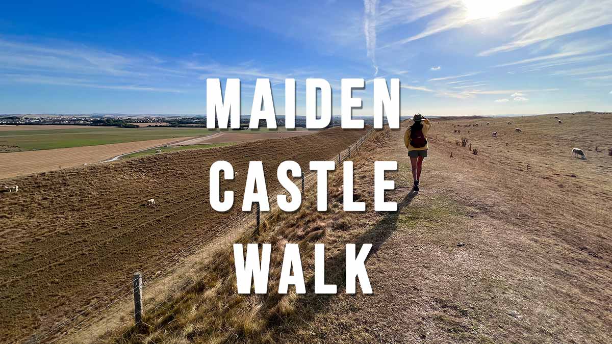
Maiden Castle Walk

Maiden Castle is the largest Iron Age hill fort in Britain and lies just outside Dorchester. It is owned by English Heritage but entrance is free, so is the car park. This short Maiden Castle Walk is an easy stroll around the banks and ditches of the hill fort offering beautiful views of rolling south Dorchester countryside.

Distance: 1.9 miles
Difficulty: Easy
Estimated time: 1 hour
Date of walk: 31 August 2022

Continue reading “Maiden Castle Walk”

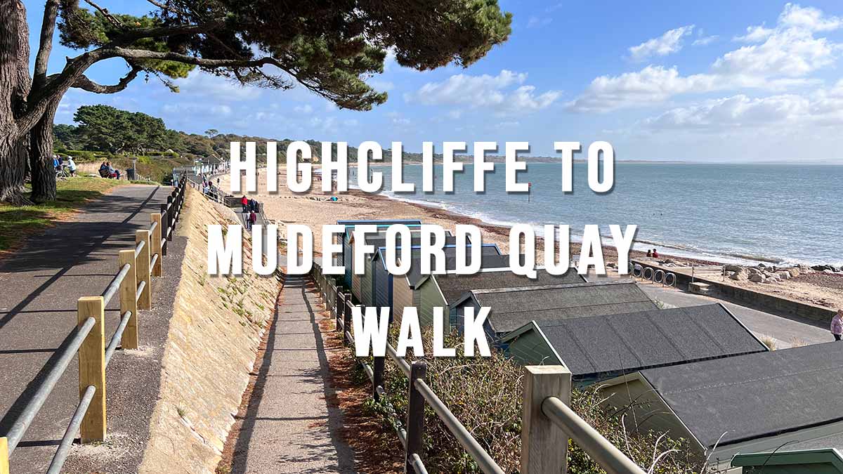
Highcliffe to Mudeford Quay Walk

The Highcliffe to Mudeford Quay Walk is an easy 2.9 mile one-way walk or 5.8 mile circular walk starting from the Cliff Top car park in Highcliffe. This walk can be done at any time of the year and easily combined with a ferry ride from Mudeford Quay across to Mudeford Sandbank and Hengistbury Head.

Distance: 2.9 miles (one-way) 5.8 miles (Circular)
Difficulty: Easy
Estimated time: 1 hour 25 minutes
Date of walk: October 2022

Continue reading “Highcliffe to Mudeford Quay Walk”