Highcliffe to Mudeford Quay Walk

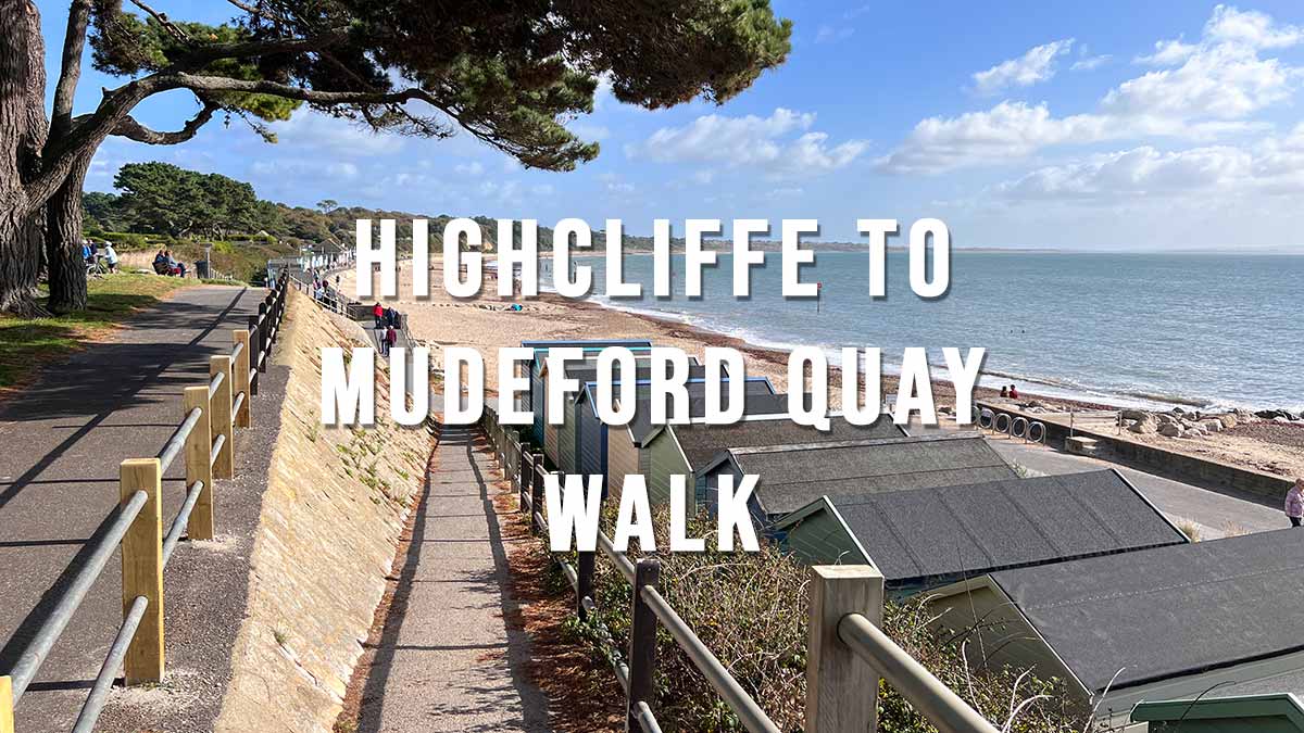
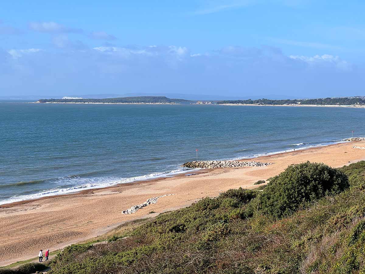
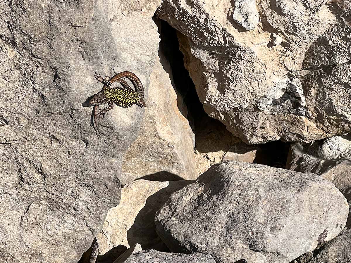
The Highcliffe to Mudeford Quay Walk is an easy 2.9 mile one-way walk or 5.8 mile circular walk starting from the Cliff Top car park in Highcliffe. This walk can be done at any time of the year and easily combined with a ferry ride from Mudeford Quay across to Mudeford Sandbank and Hengistbury Head.

Distance: 2.9 miles (one-way) 5.8 miles (Circular)
Difficulty: Easy
Estimated time: 1 hour 25 minutes
Date of walk: October 2022

Highcliffe to Mudeford Quay Walk map
Base map © OpenStreetMap
Highcliffe to Mudeford Quay Walk map (zoomed in)
Walk map (zoomed in)
Base map © OpenStreetMap

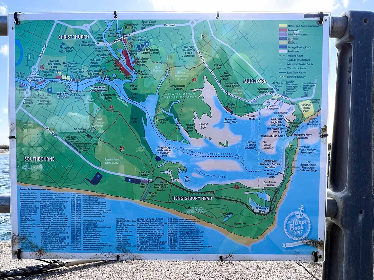
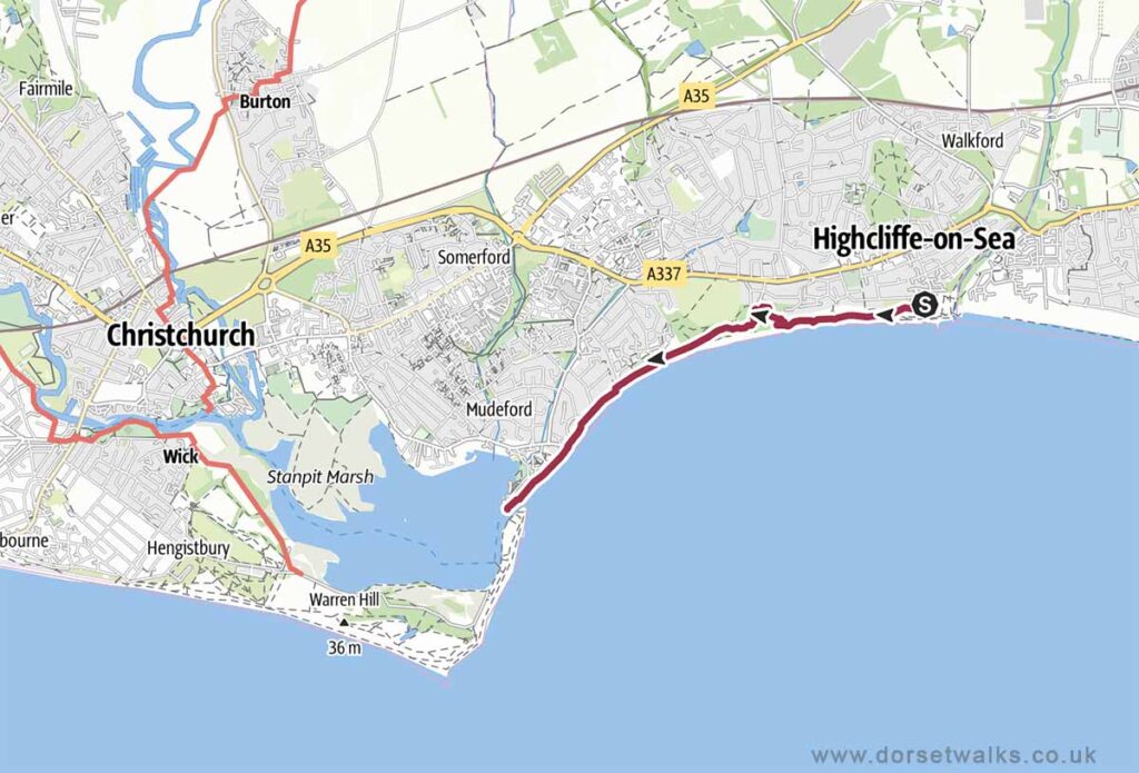
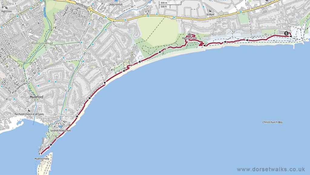
Route Map and GPS Navigation

https://www.outdooractive.com/
https://www.google.com/maps/

Route Description and Photos

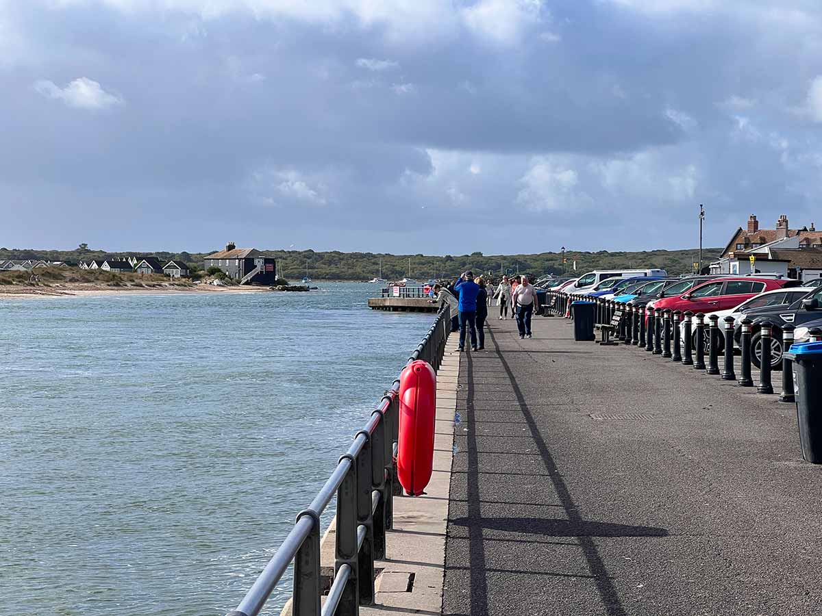
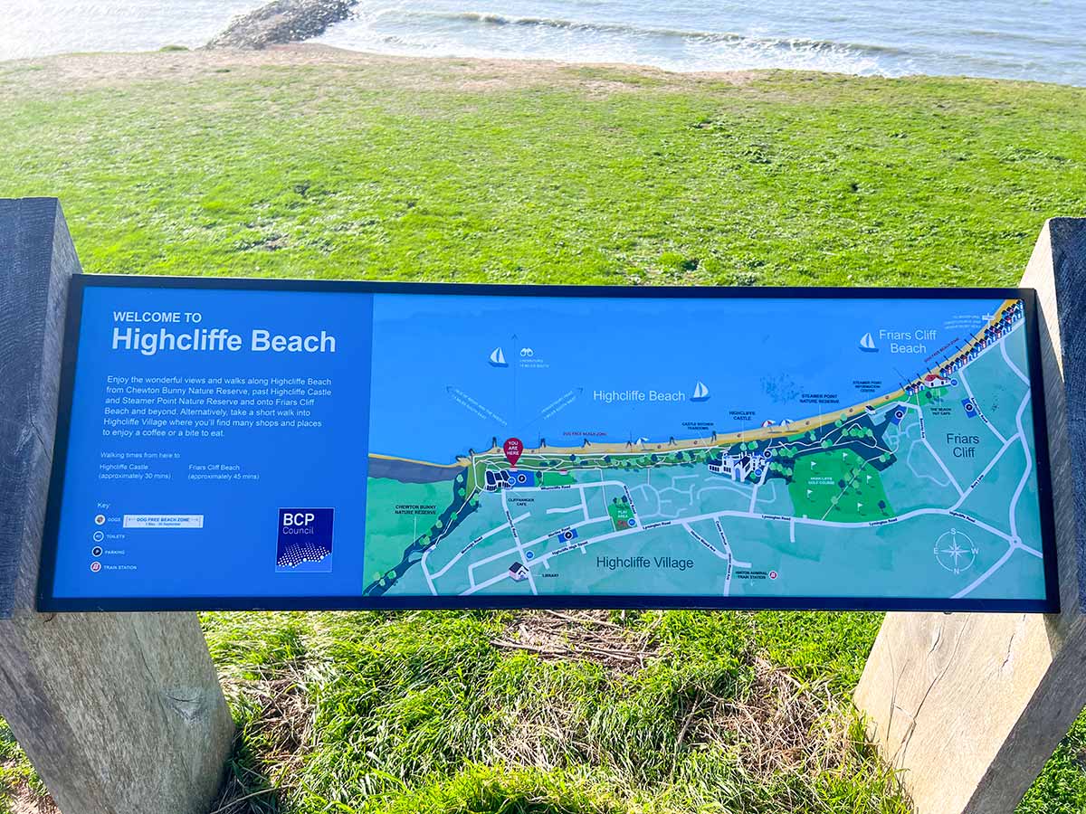
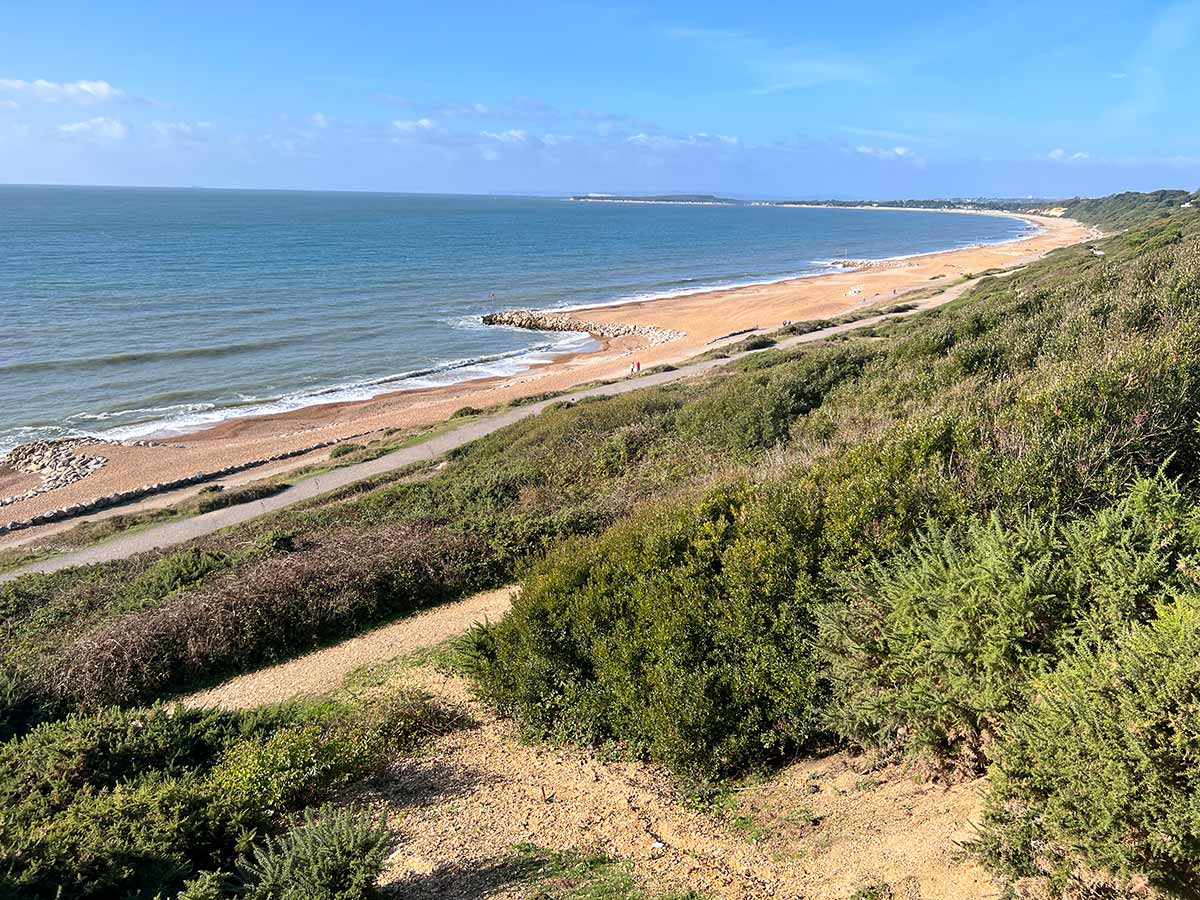
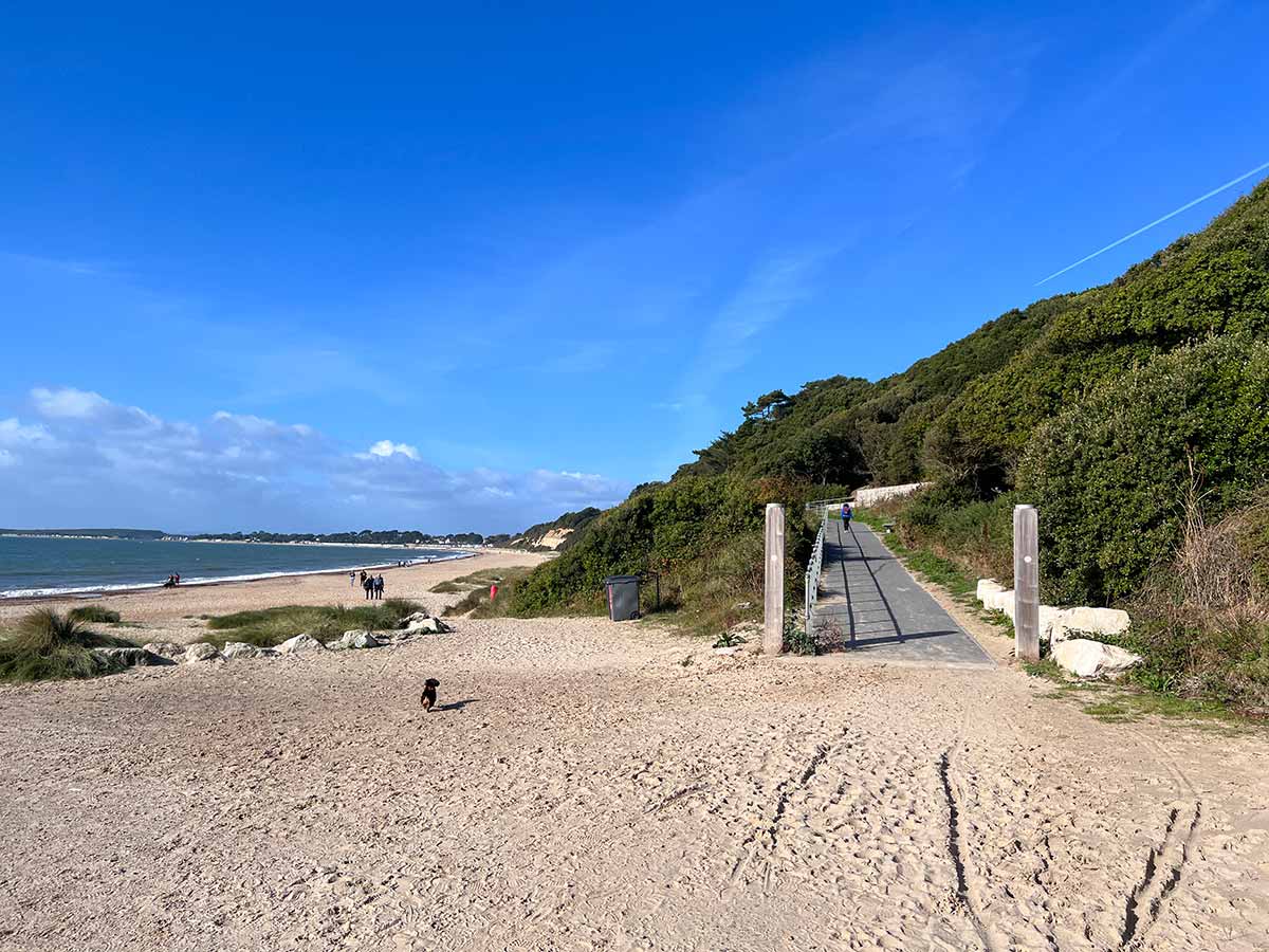
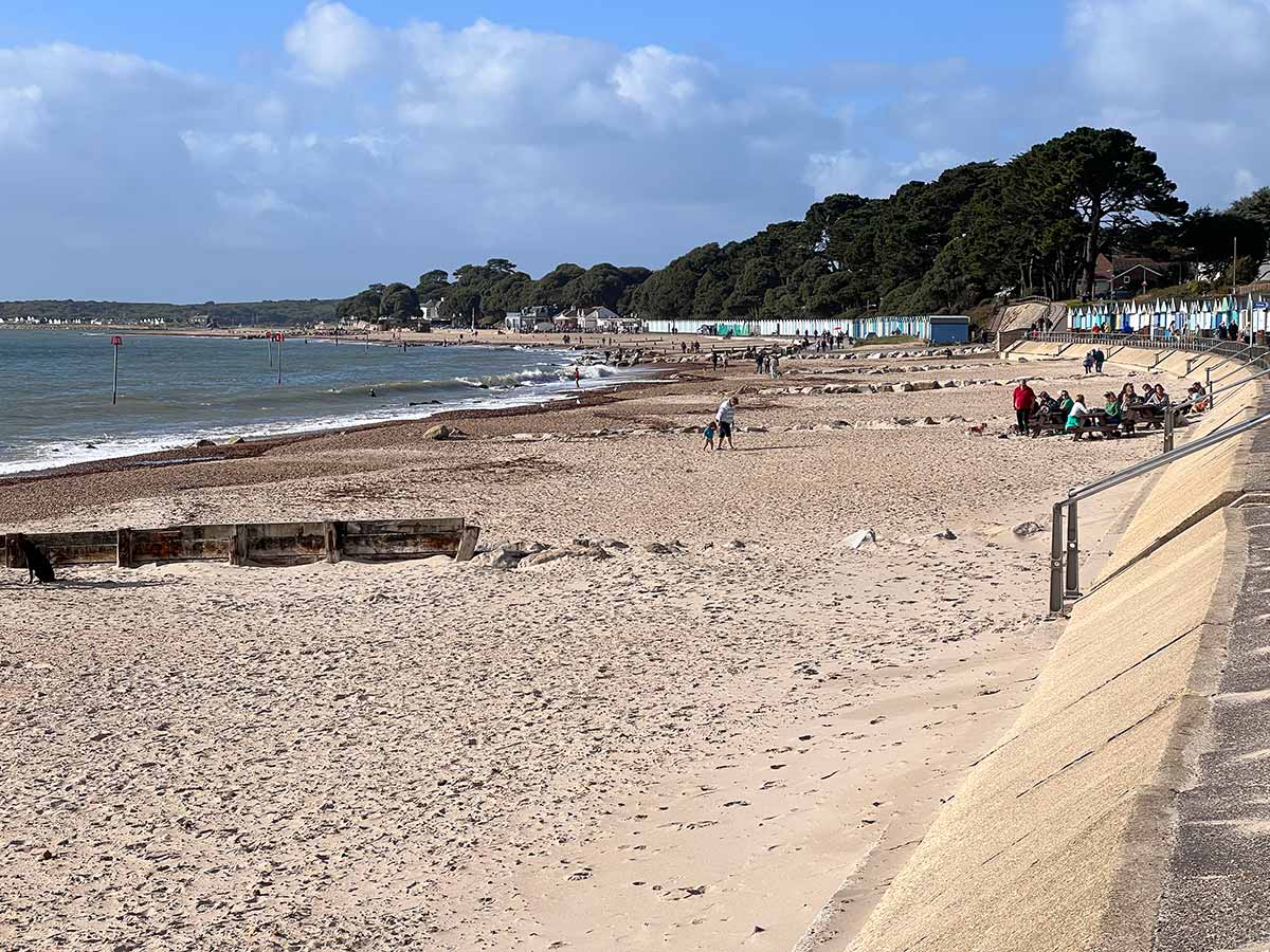
Route: Highcliffe Cliff Top car park – Highcliffe Beach – Highcliffe Castle – Steamer Point Nature Reserve – Friars Cliff Beach – Avon Beach – Mudeford Quay

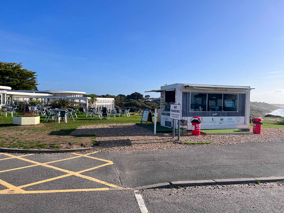
The start point for this walk is the Cliff Top Car Park at Highcliffe. (Postcode BH23 5DF, Google map). Beside the car park you’ll find refreshments at the Cliffhanger Restaurant (http://www.cliffhanger-restaurant.com, Google map). There is also a small food kiosk selling coffee and hot food and snacks)

Start of the walk is at Highcliffe Cliff Top car park which is free from October to March
Start of walk is Highcliffe Cliff Top car park BH23 5DF

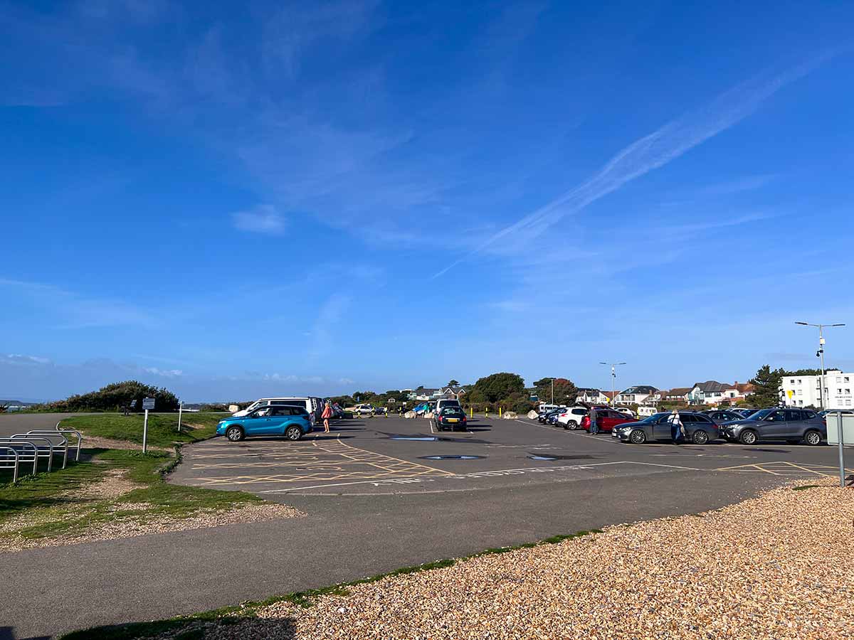
The Highcliffe Cliff Top car park is free of charge from October until March. More information about Highcliffe Beach and car park charges can be found on https://www.dorsetguide.com/highcliffe-beach/

Food kiosk selling coffee, hot foods and snacks beside Highcliffe Cliff Top car park.
From the car park looking west towards Hengistbury Head
Map of Highcliffe Beach
Council map showing Highcliffe Beach and footpaths towards Highcliffe Castle, Steamer Point Nature Reserve and Friars Cliff Beach
Highcliffe Beach looking towards Mudeford Quay (background centre), Mudeford Sandbank and Hengistbury Head (background left). Behind Hengistbury Head you can just see the white cliffs of the start of the Jurassic Coast near Old Harry Rocks.
Highcliffe Beach looking west towards Mudeford Quay and Hengistbury Head
View west along Highcliffe Beach
Walking down to Highcliffe Beach
Common lizard basking in the sunshine
Lizard enjoying a mid-October sunbathe. I’m no expert but, from its markings, it looks like a common Lizard even though it is quite green in colour.
take the ramp up from the beach to Highcliffe Castle
Follow the ramp up to Highcliffe Castle
Climbing the ramp to Highcliffe Castle
Map of Highcliffe Castle
Highcliffe Castle map

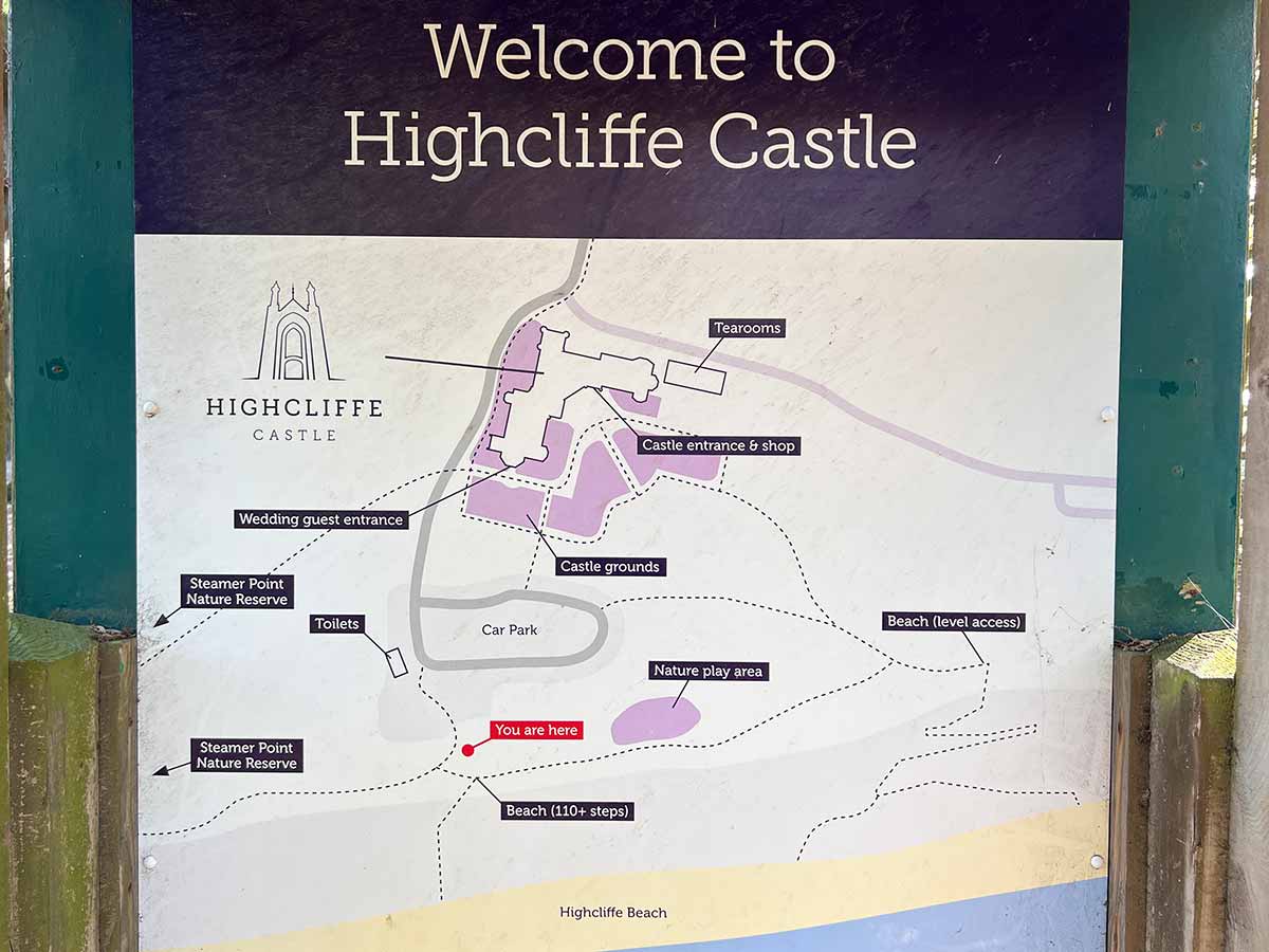
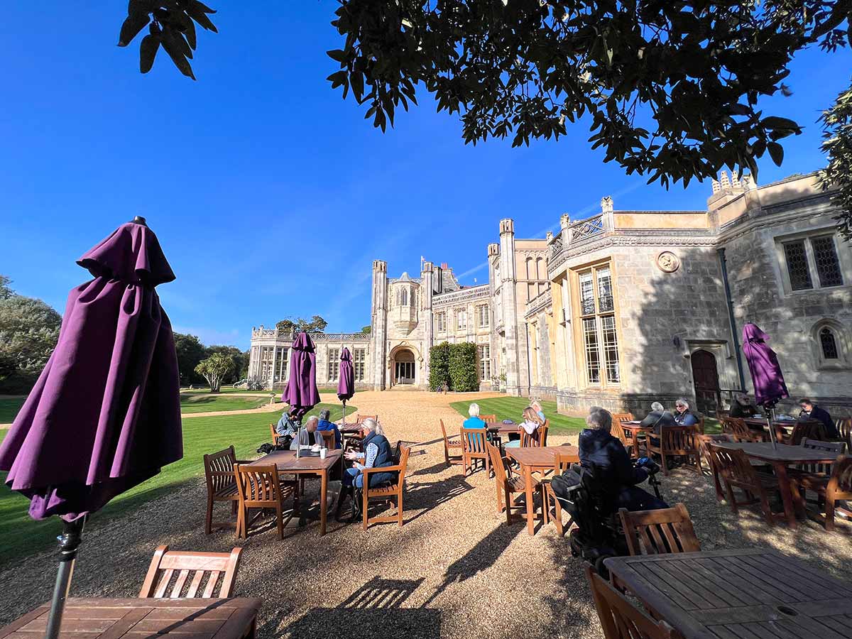
The grounds of Highcliffe Castle are FREE to enter. You can wander around outside and enjoy the gardens or have a coffee in the Castle Tearooms. There is a fee to enter the castle. There are also toilets next to the car park (see map above)

More information about the Highcliffe Castle including entrance fees and car park charges can be found at https://www.dorsetguide.com/highcliffe-castle/ or on the official website https://www.highcliffecastle.co.uk

Highcliffe Castle
The Tearooms and cafe at Highcliffe Castle
Highcliffe Castle Tearooms is great on a sunny day with superb views of the castle.
Walking around the castle is free but you have to pay to enter the castle
Steamer Point Nature Reserve
Leaving Steamer Point Nature Reserve for Friars Cliff
Arriving at Friar's Cliff Beach
Colourful beach huts at Friars Cliff Beach
Friars Cliff Beach Promenade looking east
Friars Cliff Beach looking east towards Highcliffe Beach
Friars Cliff Beach Promenade looking west towards Avon Beach and Mudeford Quay
Friars Cliff Beach looking west towards Avon Beach and Mudeford Quay
Friars Cliff Beach
Colourful beach huts line the back of the promenade at Friars Cliff
The Beach Hut Cafe at Friars Cliff
The Beach Hut Cafe

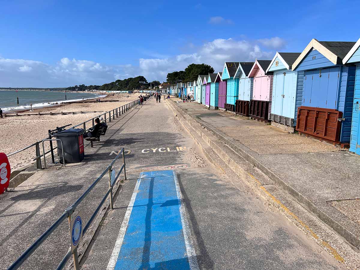
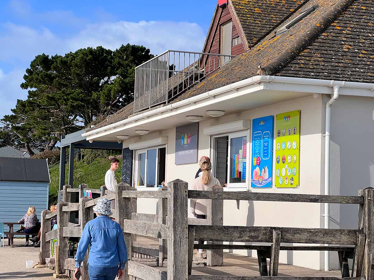
The Beach Hut Cafe http://www.beachhutcafe.uk can be found on Friars Cliff Promenade. They offer tea, coffee, breakfasts, sandwiches, burgers, pizzas etc. Google map

There are public toilets up the steps to the left of the Beach Hut Cafe

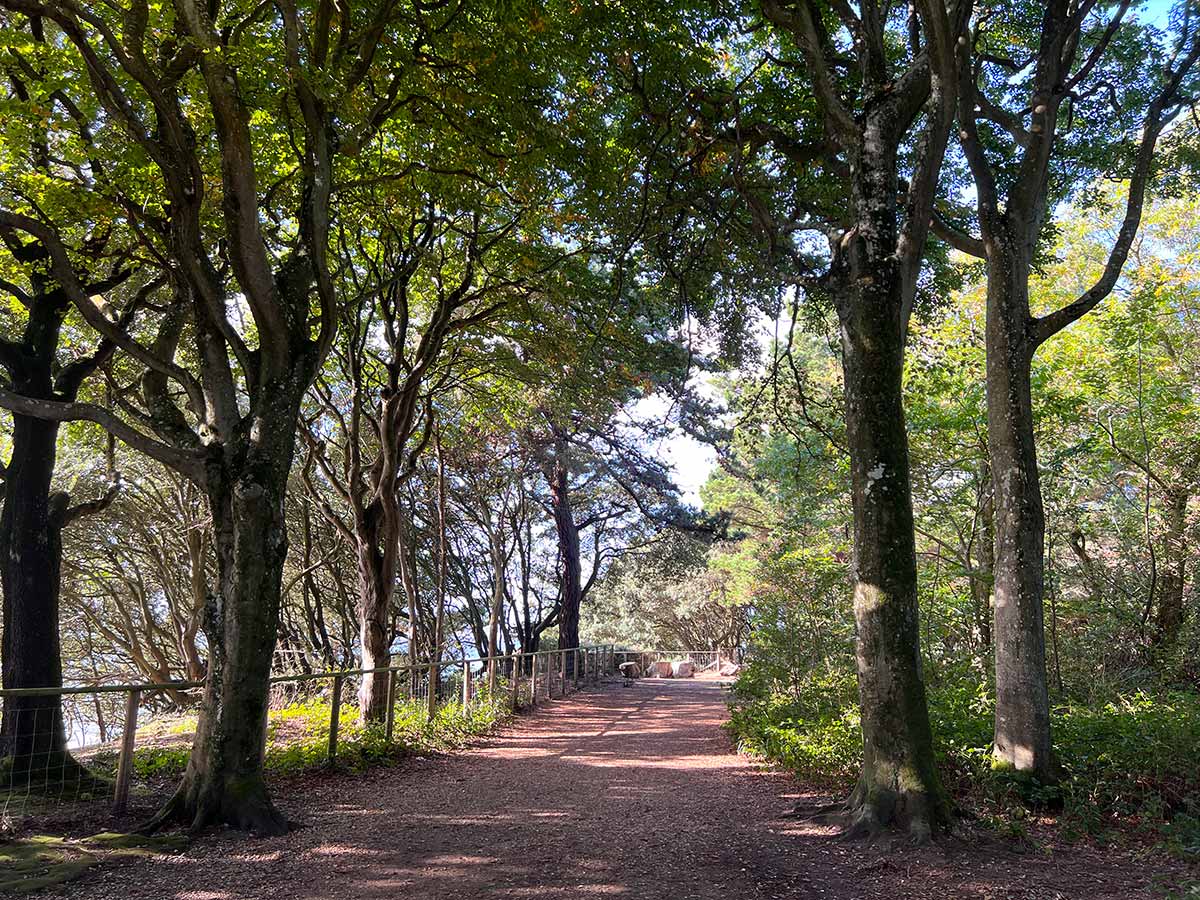
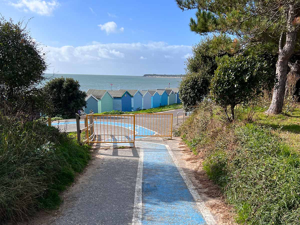
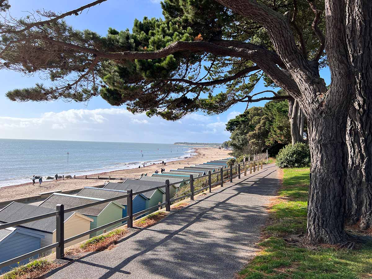
We walked up the ramp just behind the beach huts at Friars Cliff to take a scenic photo of the pine trees, beach huts and beach. You can follow this footpath that runs parallel to Avon Run Road and then drops down by Avon Beach or follow the route along the beach.

View towards Avon Beach from Avon Run Road
View from Avon Run Road towards Avon Beach
The Noisy Lobster Restaurant at Avon Beach
Avon Beach

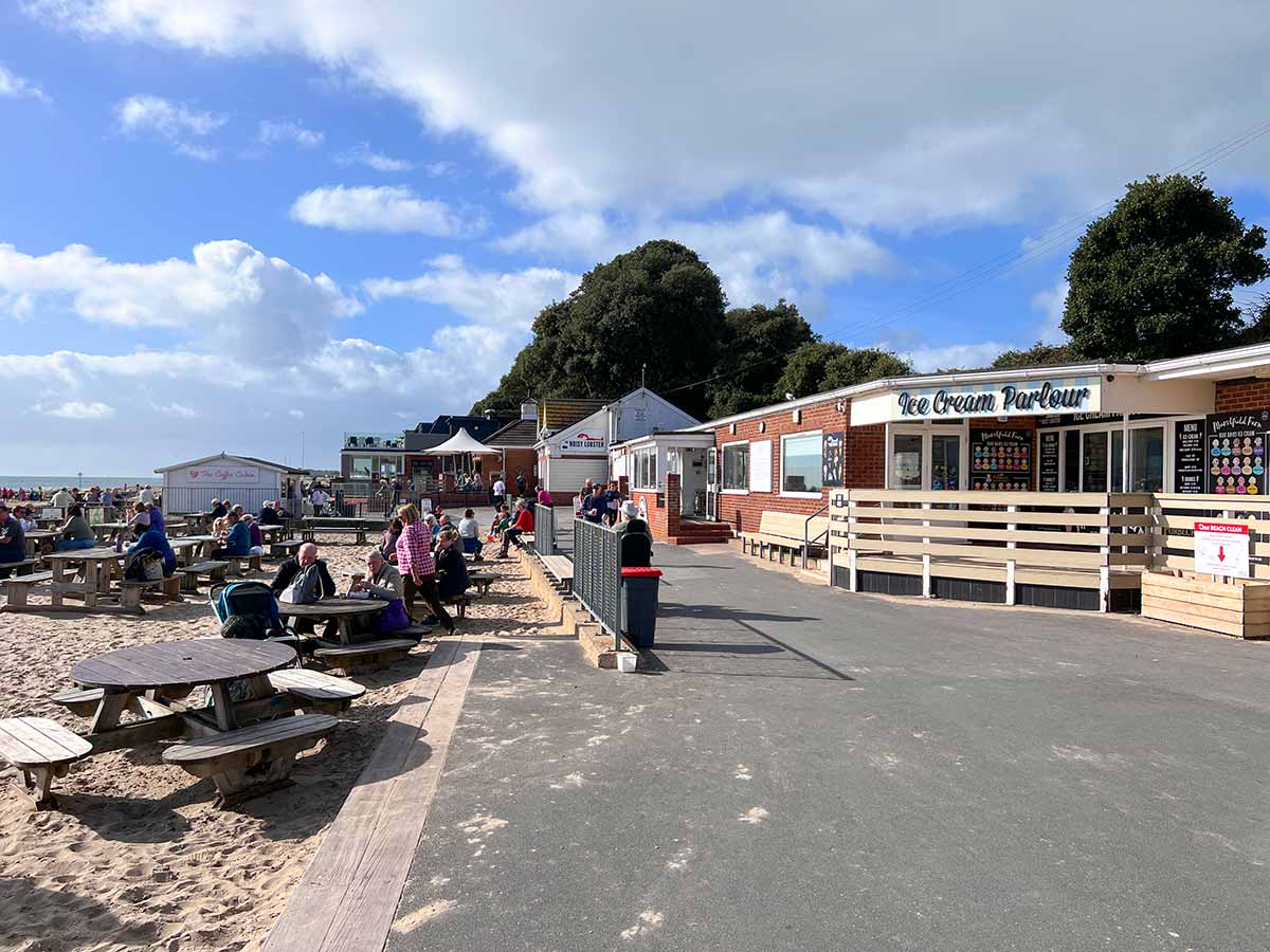
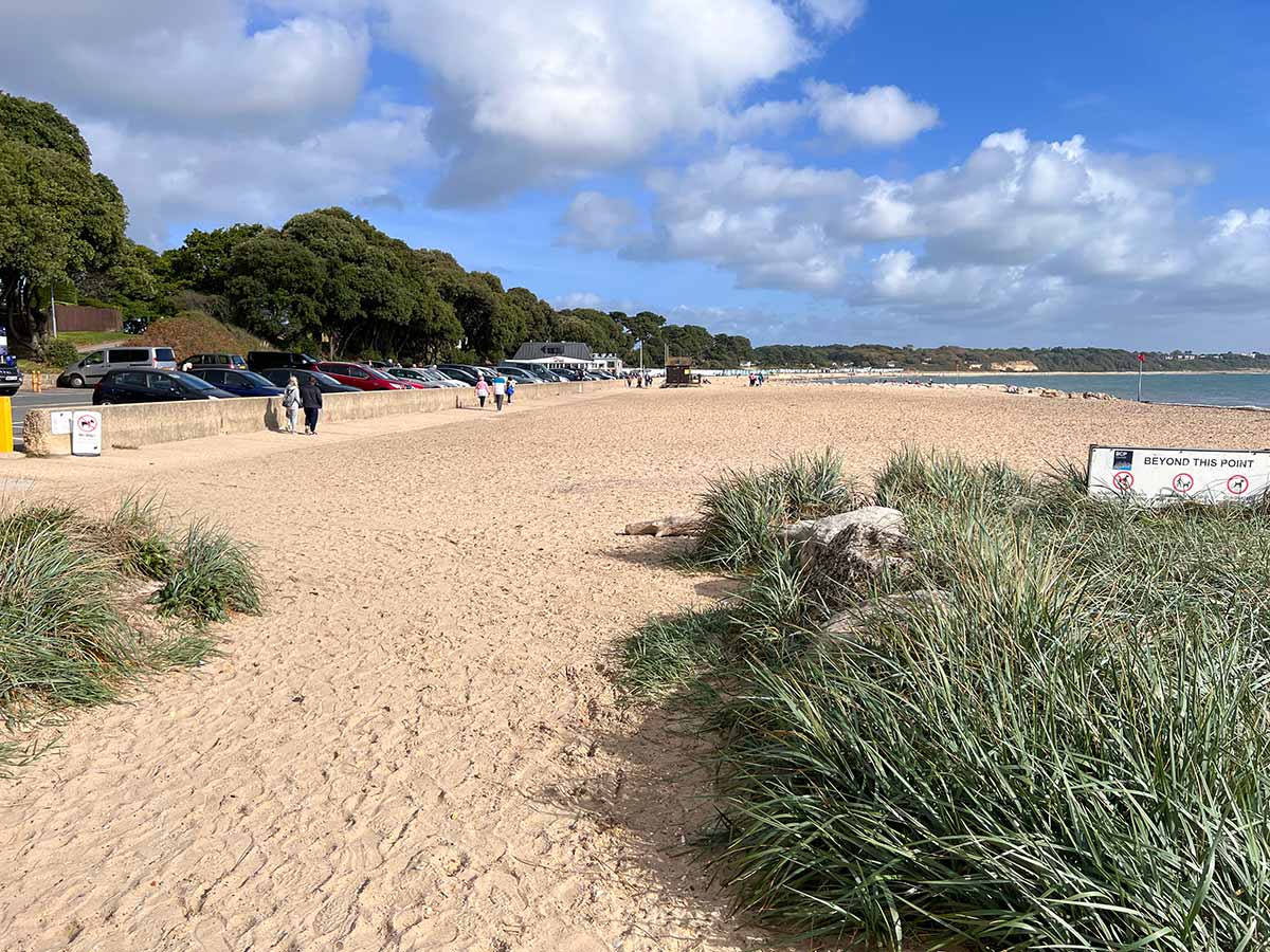
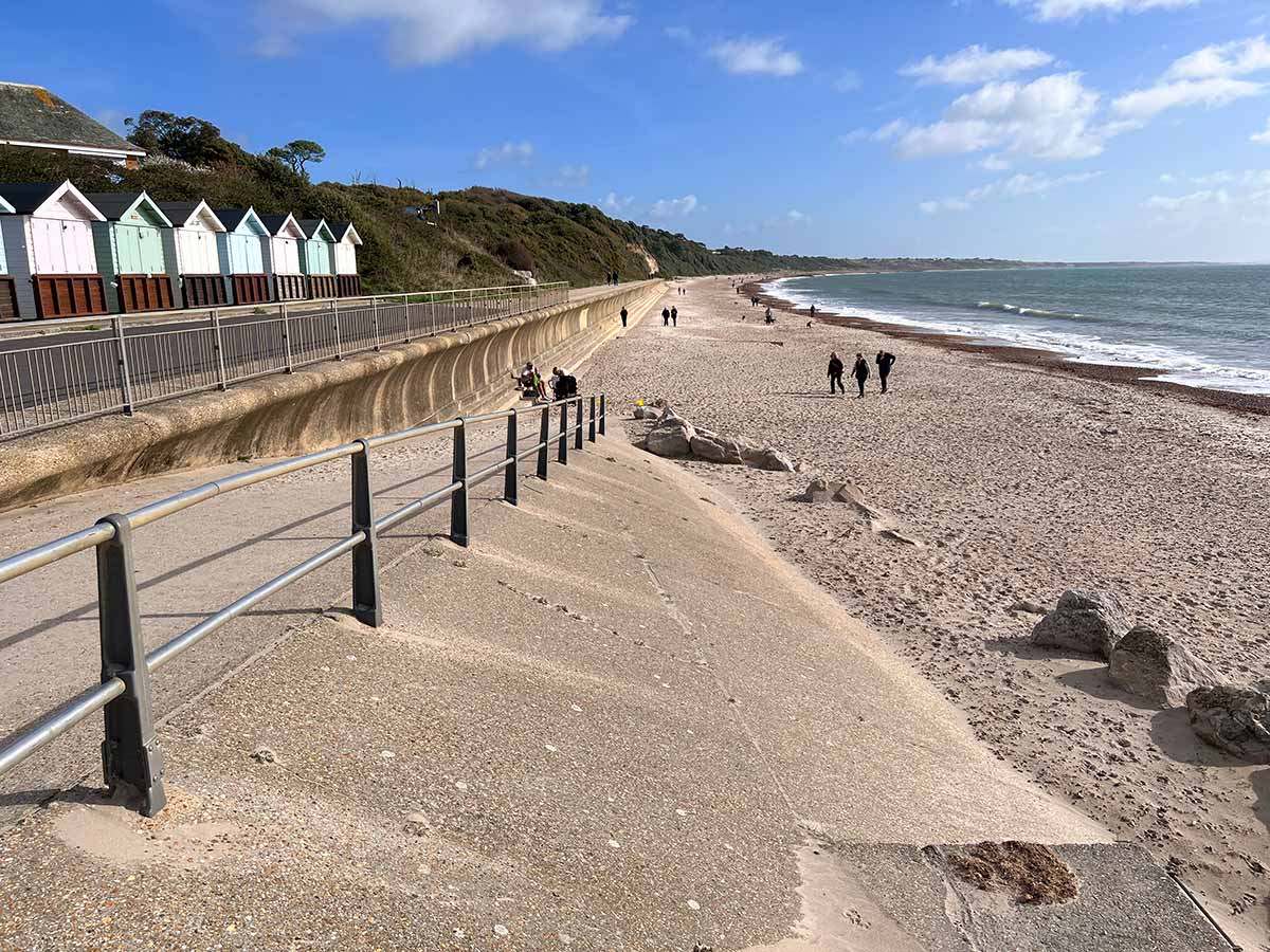
At Avon Beach there is a car park, The Noisy Lobster Restaurant https://noisylobster.co.uk Google maps , a beach shop, ice cream parlour, cafe kiosk and public toilets.

Approaching Mudeford Quay
Avon Beach looking east
Looking back at Avon Beach and Avon Beach car park
Mudeford Quay looking across the entrance to Christchurch Harbour towards Mudeford Sandbank
Walking along the Quay at Mudeford. Across the water you can see the Black House and beach huts on Mudeford Sandbank.
Map of Christchurch Harbour
Mudeford Quay – Haven Cafe. To the right of the cafe is Haven House Inn and around the back of the cafe are public toilets
There is a regular ferry from Mudeford Quay across the mouth of Christchurch Harbour to Mudeford Sandbank.
Haven House Inn at Mudeford Quay
Haven House Inn is a good place to rest and refuel.