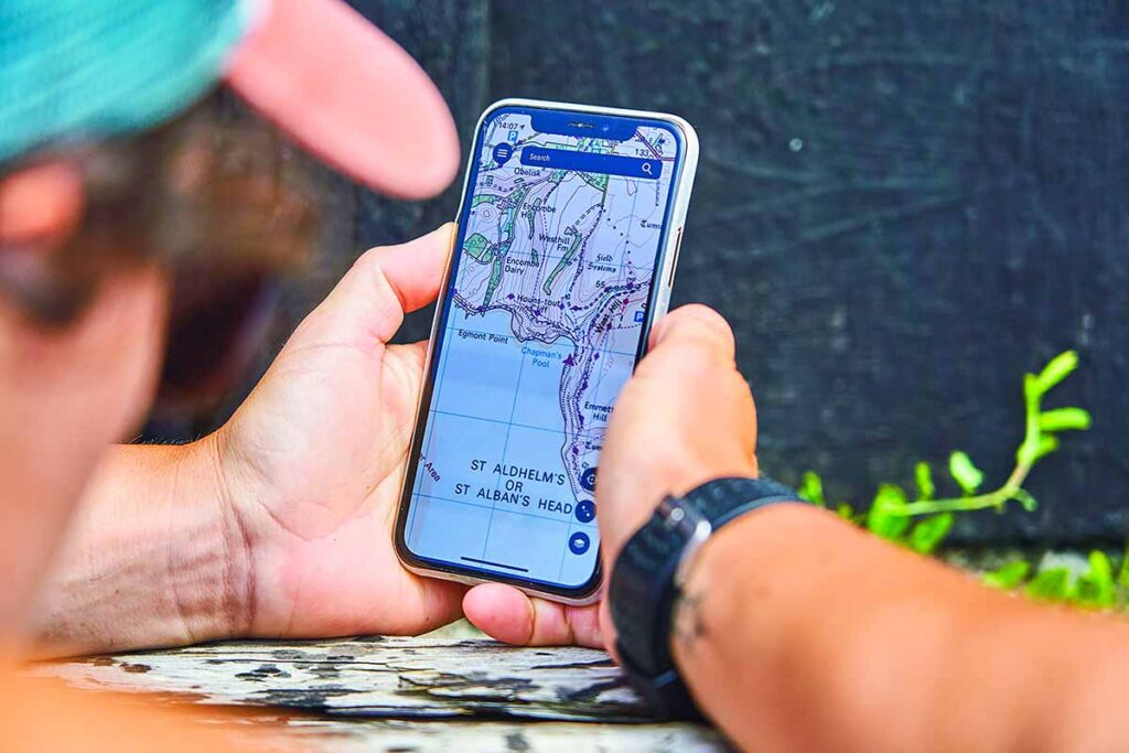
OS Maps of Dorset: Ordnance Survey offer two types of paper map of Dorset depending on the level of detail required: the OS Explorer series is better for walkers and off-road mountain biking while the OS Landranger series is less detailed and better for touring or long distance walks and biking (see details below). The good news is that Ordnance Survey now include a free digital download of each map that can be viewed using their OS Maps App for your phone (iPhone and Android).
OS Explorer maps of Dorset
- 1:25 000 scale (4 cm to 1 km – 2½ inches to 1 mile).
- Great for walkers, hikers, cyclists, families, dog walkers, and horse riders.
- Includes roads, rights of way, permissive paths and bridleways, plus essential visitor information.
- Free digital download included
OS Landranger maps of Dorset
- 1:50 000 scale (2 cm to 1 km – 1¼ inches to 1 mile).
- Covers larger area in less detail.
- Idea for driving, long distance walking, cycling, family days out and more.
- Includes roads, rights of way, permissive paths and bridleways, plus essential visitor information.
- Free digital download included
OS Maps covering the Dorset region can be purchased on the Ordnance Survey website
https://shop.ordnancesurvey.co.uk
or found in any decent bookshop. A typical map costs around £10. Inside the cover of the map is a scratch-off code that can be used to redeem a digital copy of the map. You’ll need to download the OS Maps App for your phone. The digital map can be viewed on your phone even when offline which is really useful in places where you can’t get a mobile signal.
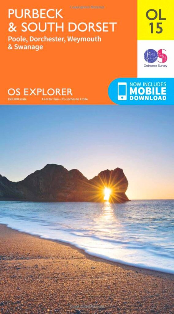
OS Explorer OL15 Purbeck & South Dorset
The map reference OL prefix within the yellow square indicates that this Explorer map is from the OS Outdoor Leisure Series.
This is the map you’ll want for hiking in the Purbeck Hills (Studland, Swanage, Worth Matravers, Kingston, Kimmeridge, Lulworth Cove, Corfe Castle etc) and also for walks around Weymouth, Portland, Chesil Beach as far as Abbotsbury.

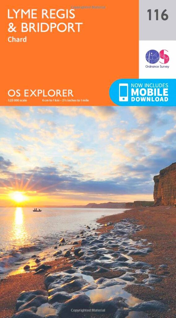
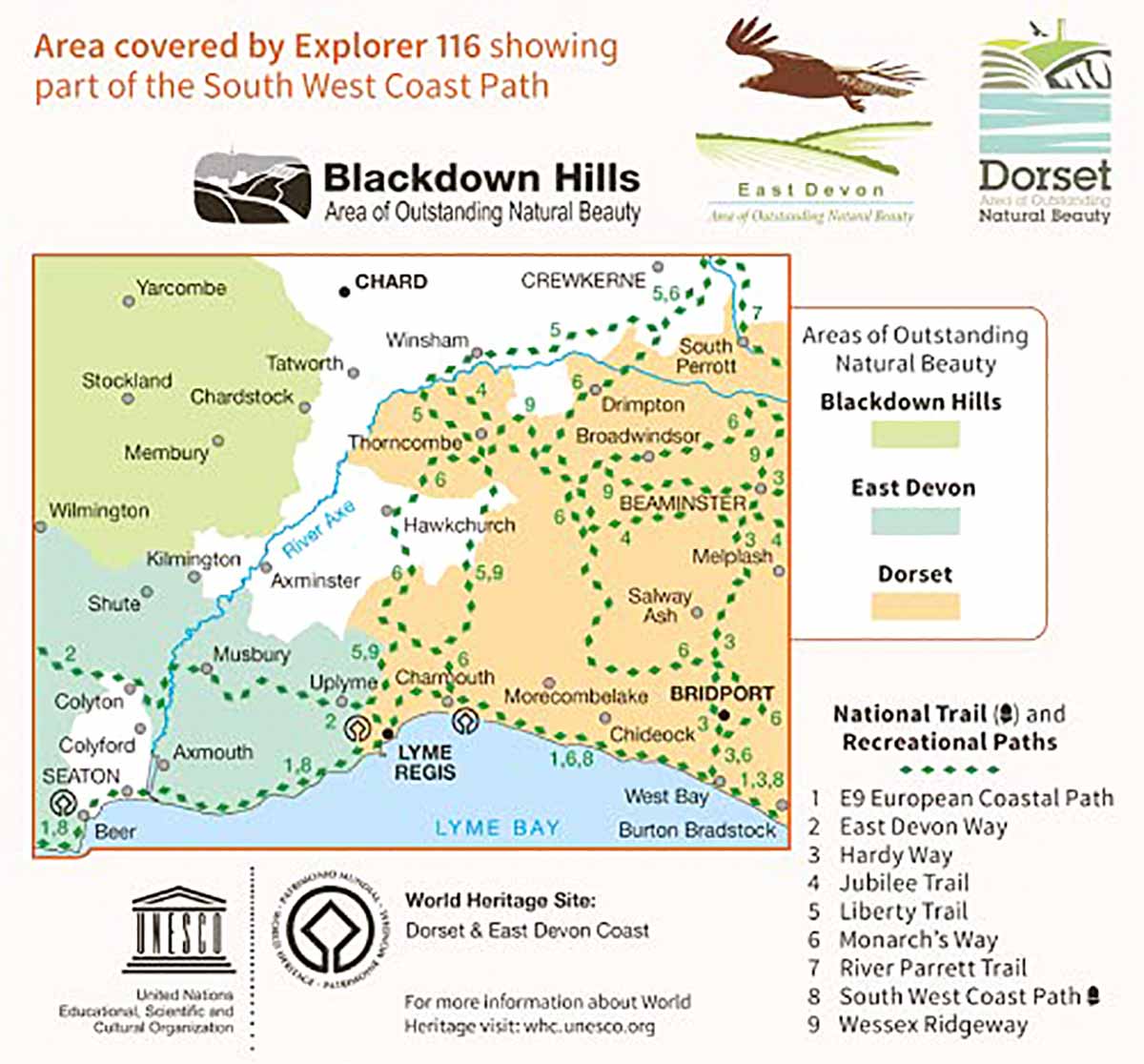
OS Explorer 116 Lyme Regis & Bridport
This is the map you’ll want for coastal walks between Lyme Regis and Hive Beach including West Bay, Seatown, Thornecombe Beacon, Golden Cap and Charmouth.
OS Explorer 117 Cerne Abbas & Bere Regis
This is the map you’ll want for walks around Cerne Abbas, Milton Abbas, Higher Brockhampton (Hardy’s Cottage) and Bulbarrow Hill to name a few.


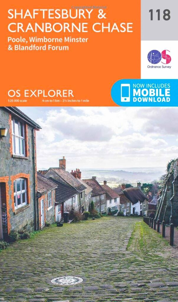
OS Explorer 118 Shaftesbury & Cranborne Chase
Great walks in this area include the Iron Age hill fort at Badbury Rings, Wimborne Minster and the Stour Valley, Cranborne, Manswood, Fontmell & Melbury Downs and Gold Hill at Shaftesbury.

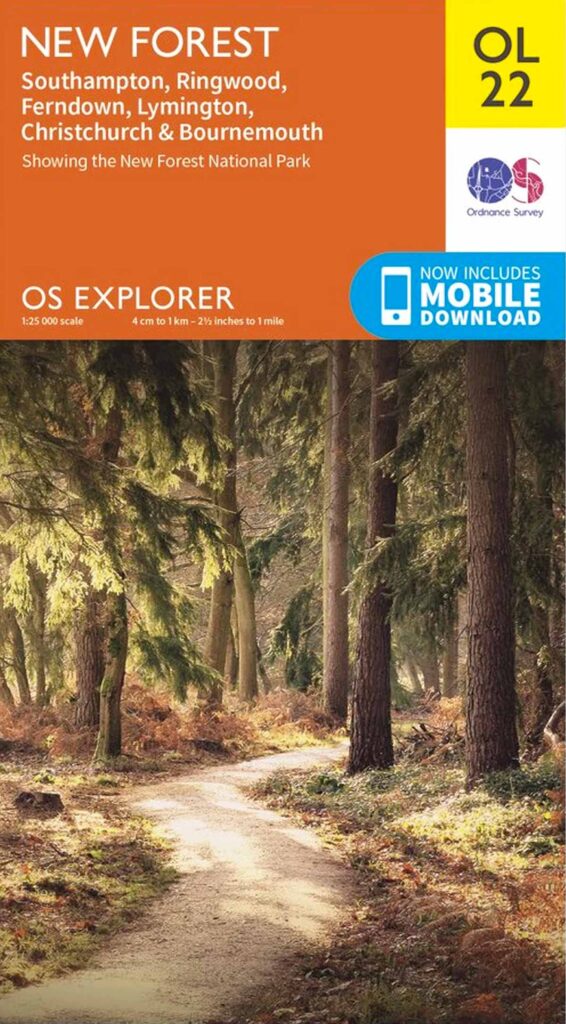
OS Explorer OL22 New Forest
You’ll find some excellent walks in the New Forest which is actually in Hampshire. However this map also covers the eastern coastline of Dorset including Highcliffe to Mudeford Sandbank, Hengistbury Head, Stanpit Marsh and Christchurch Harbour as well as Bournemouth.