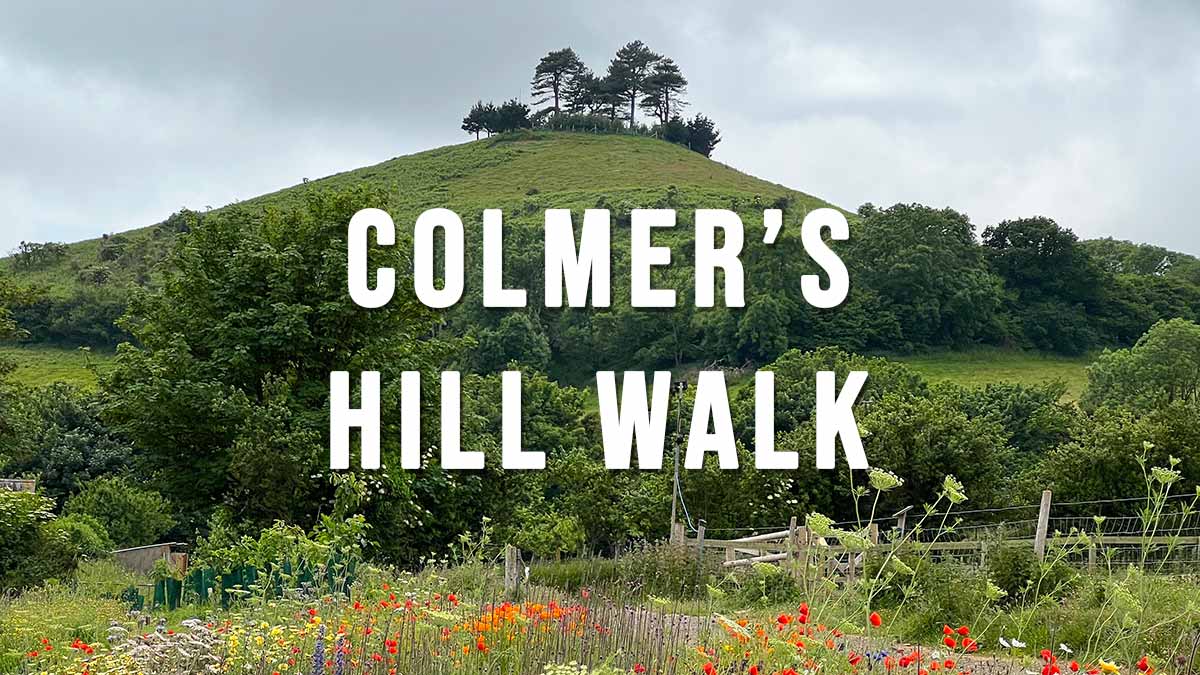
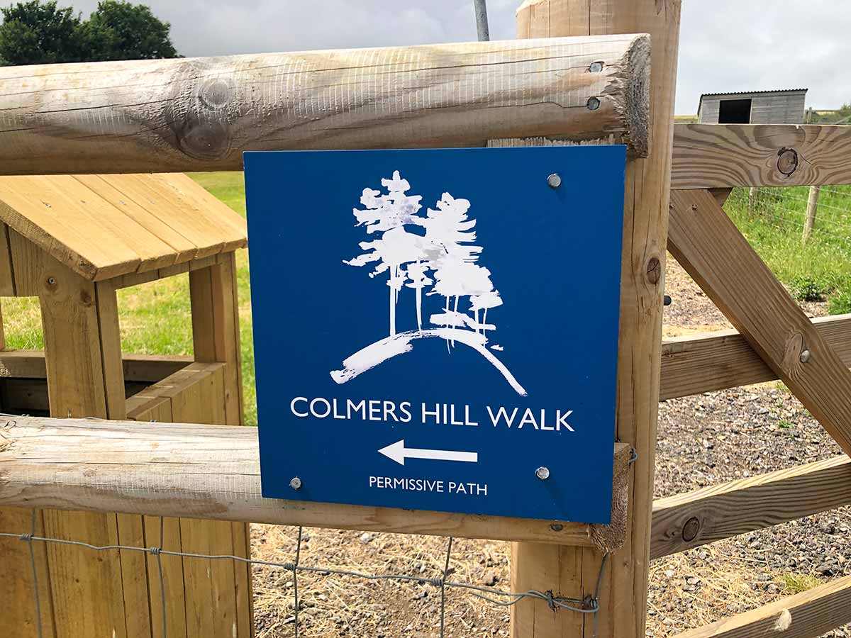
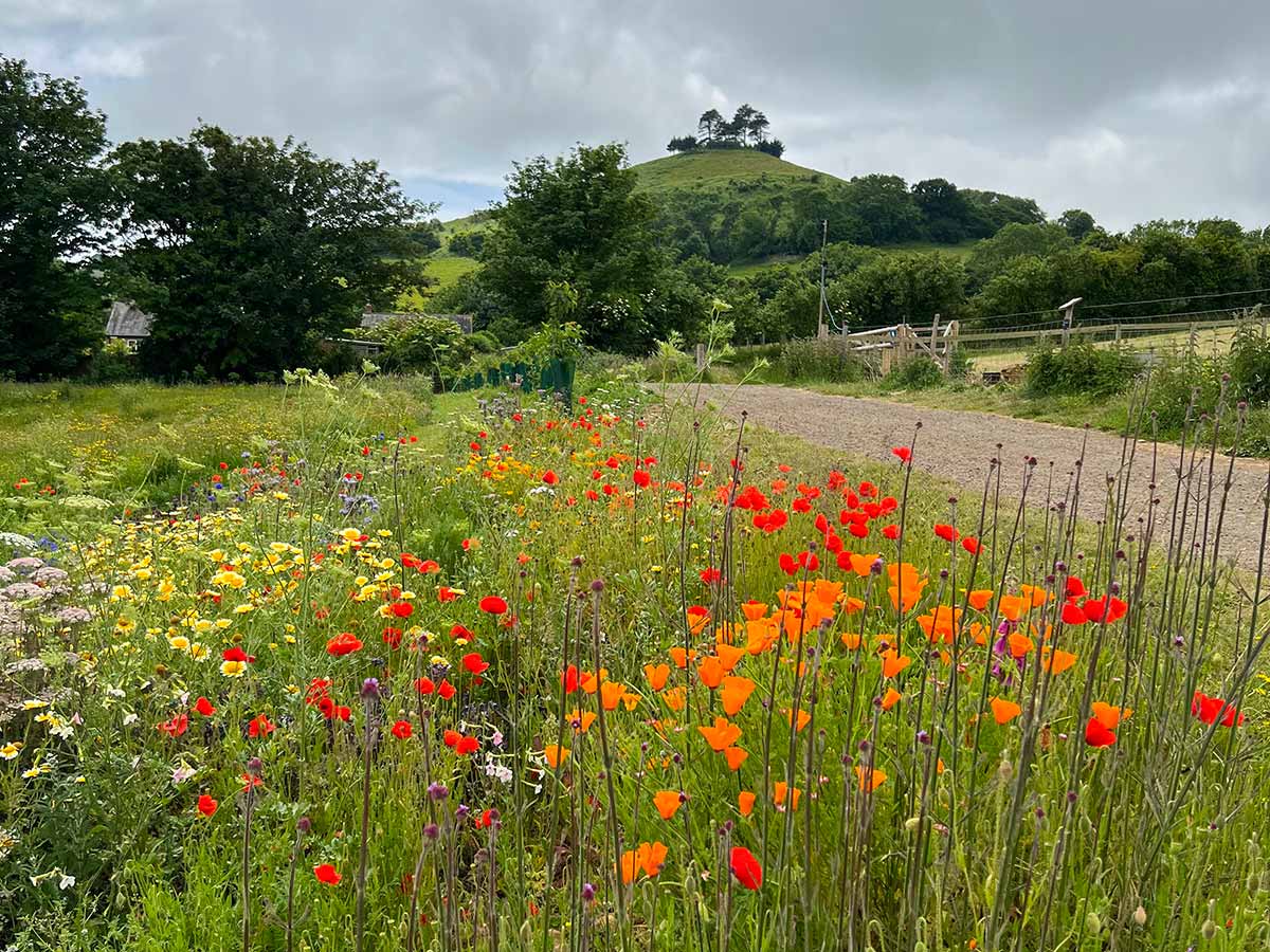
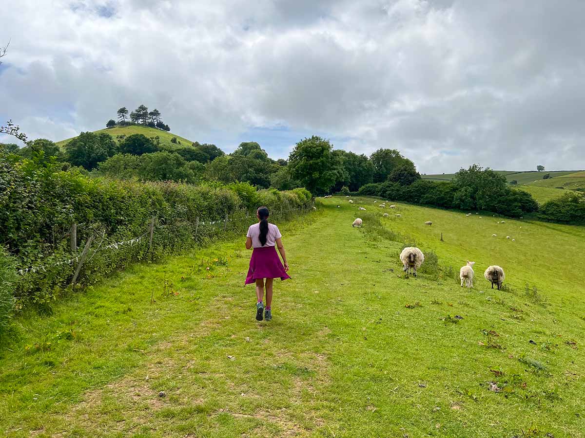
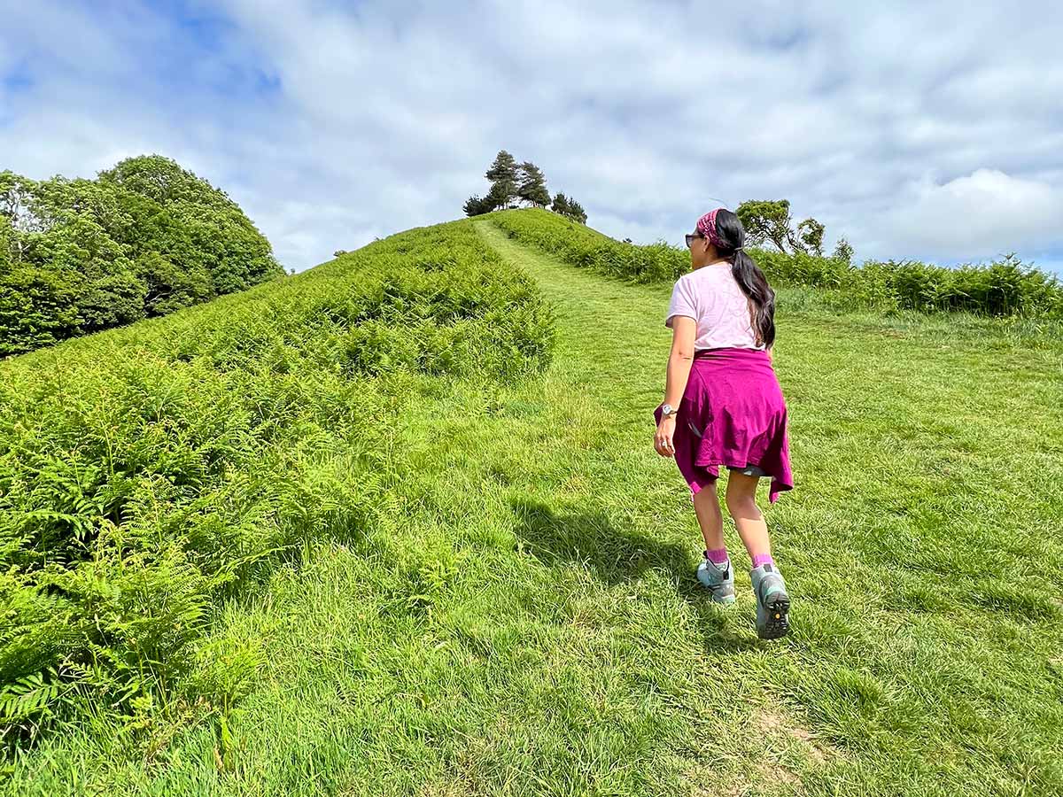
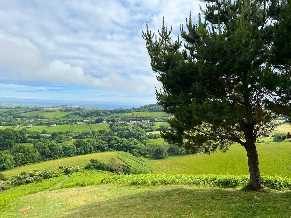
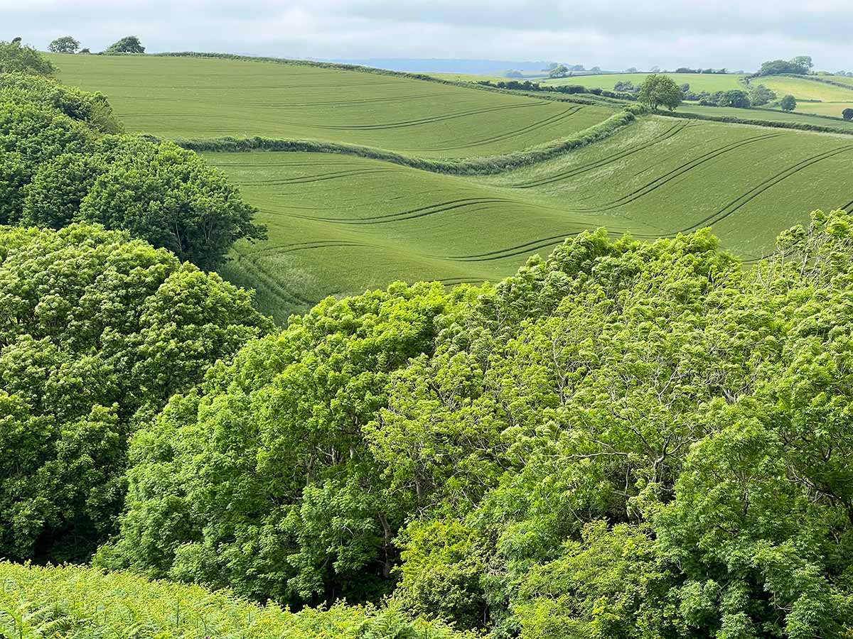
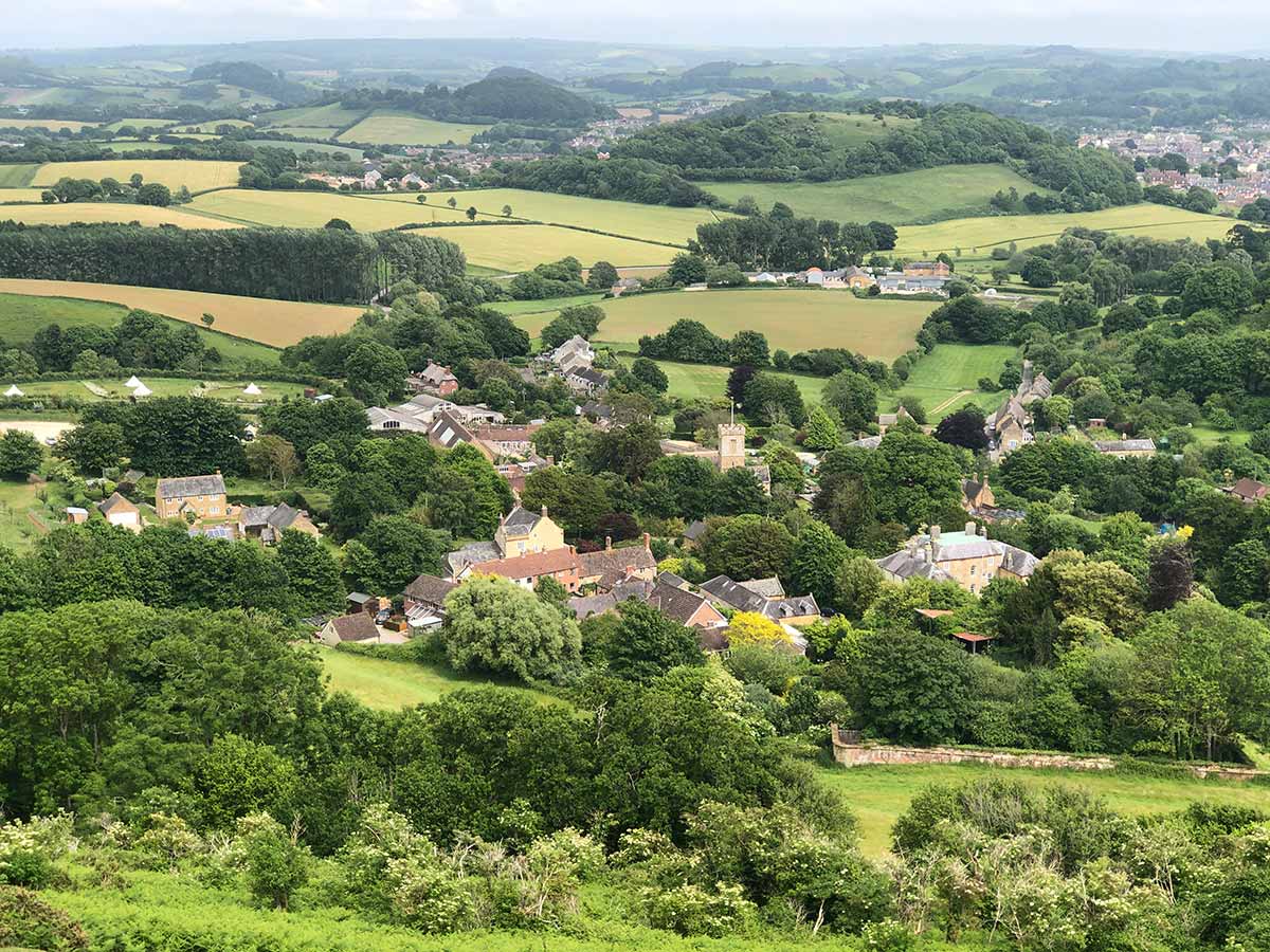
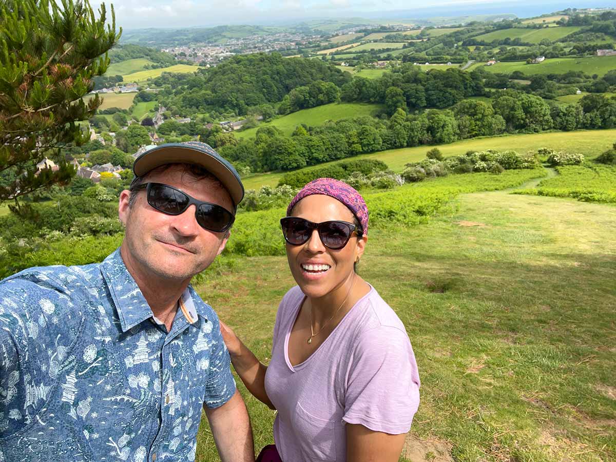
Colmers Hill is one of the most recognisable scenes in the West Dorset landscape, this iconic conical-shaped hill rises 417 feet above the village of Symondsbury on the edge of Bridport. It has been part of the Symondsbury Estate for over one hundred years and is open to the public with a permissive path up to the top. There are several walks in the area, the shorter Colmers Hill Walk is described below.
Distance: 1.6 miles Circular
Difficulty: Easy
Estimated Time: 1 hour
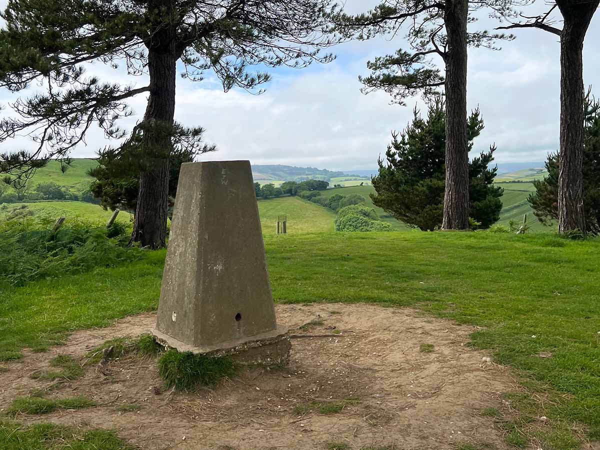
Ascent: 295ft, Highest Point 417ft
OS Map: OS Explorer 116 Lyme Regis & Bridport
Date of Walk: June 202
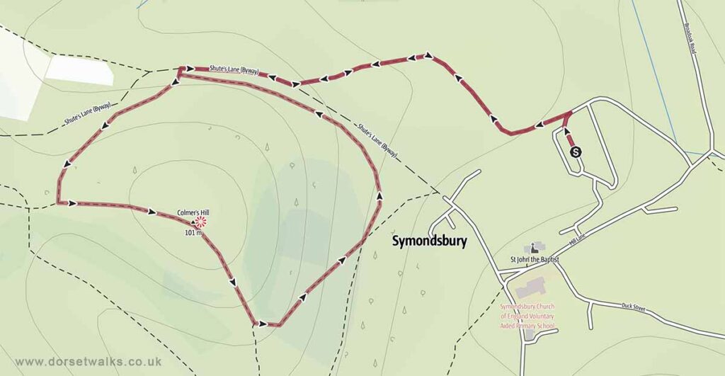
Base map © OpenStreetMap
Route Mapped GPS Navigation
https://out.ac/IEHZA4
(external link to Outdooractive interactive map where route GPX file can be downloaded if required)
Route Description and Photo Gallery
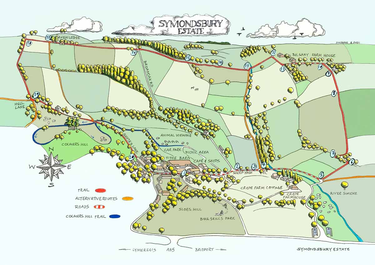
The starting point for this short walk is the Symondsbury Estate car park
Postcode DT6 6HG / Google map / What3words
https://symondsburyestate.co.uk
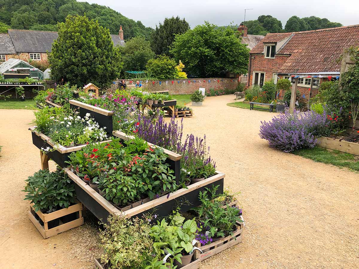
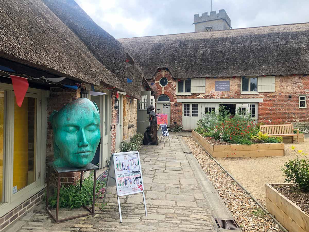
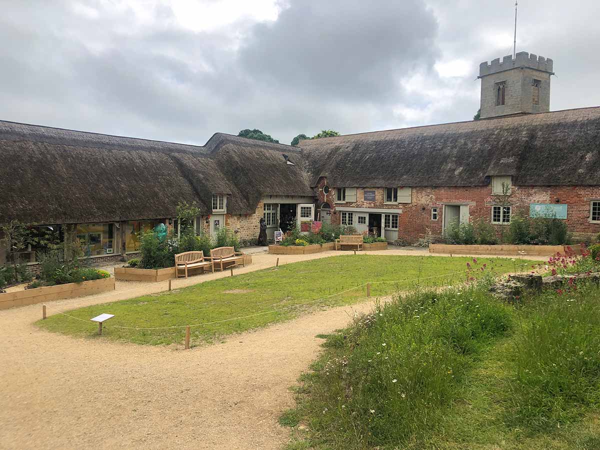
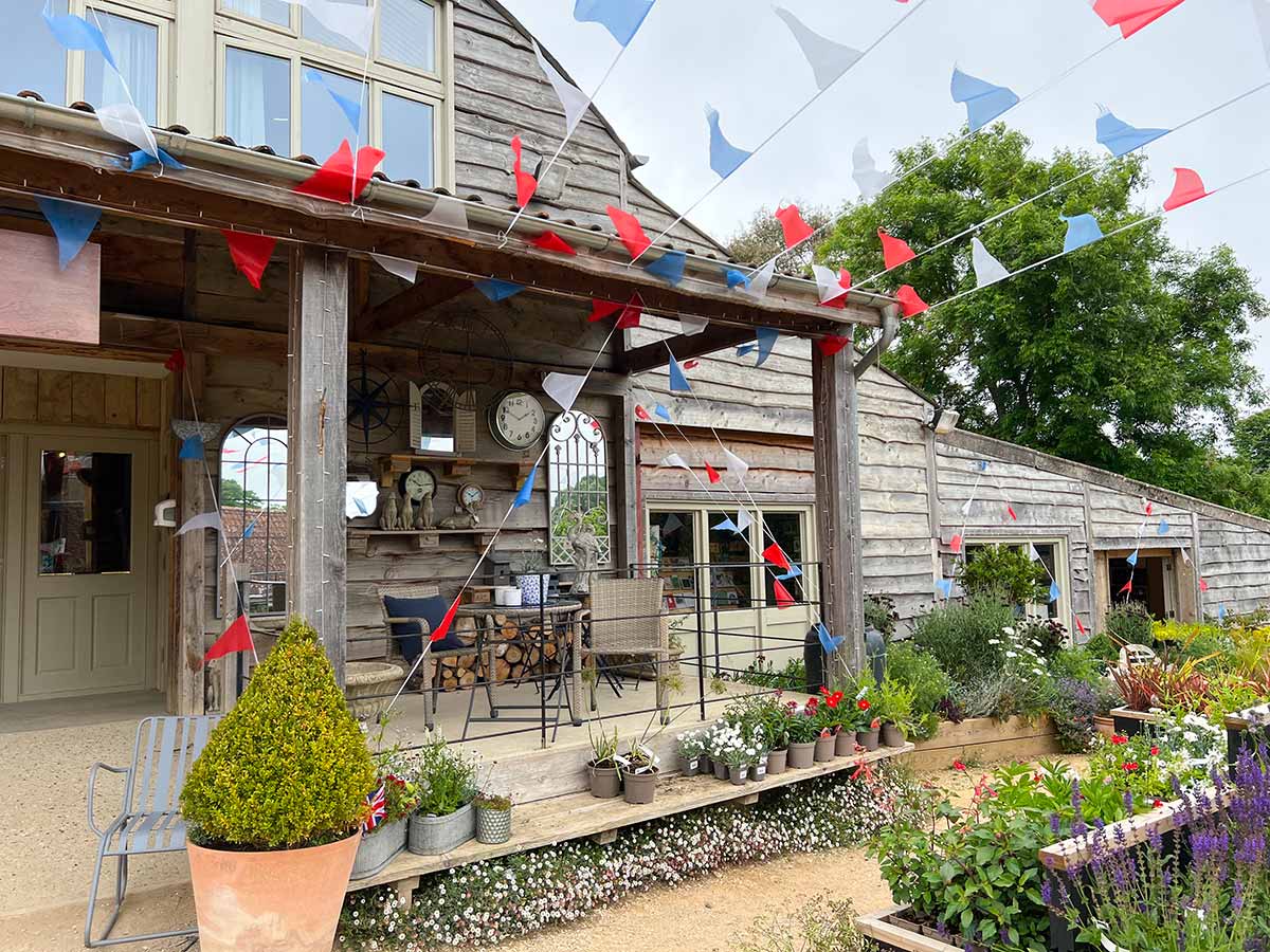
The Symondsbury Estate is well worth a visit. You’ll find a large free car park, picnic area, cafe, visitor centre and farm animal viewing area, home & garden shop, cycle shop, art gallery, boutique and jewellery store.

Nearby Walks
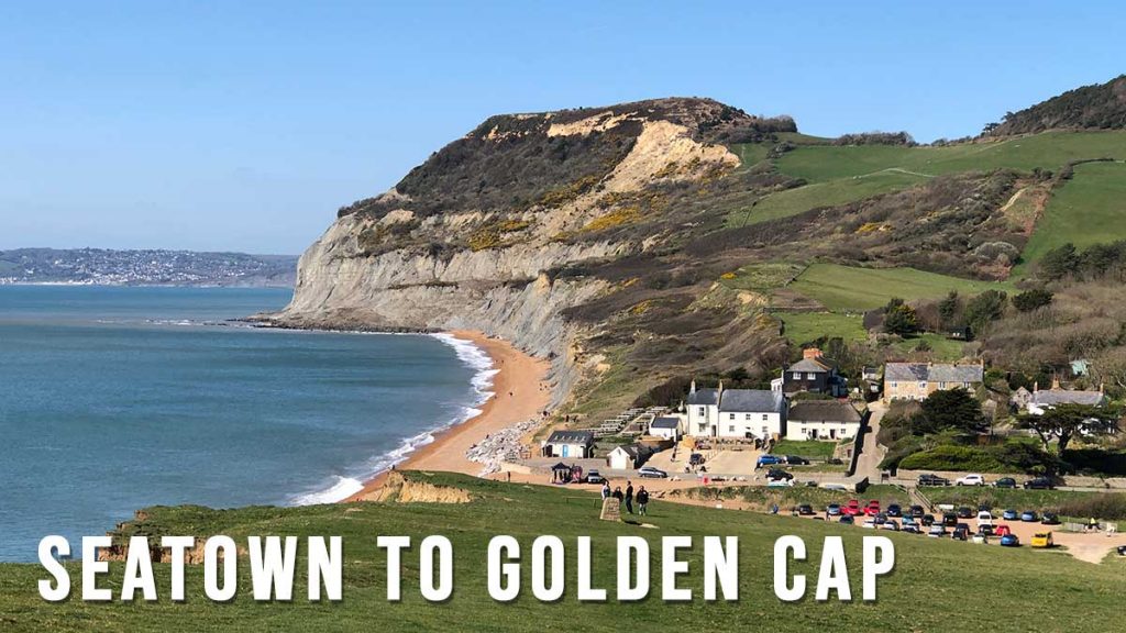
Seatown is only a 10 minute drive from Symondsbury (2.9 miles by road) so you could easily combine the Colmers Hill walk with a coastal walk such as Seatown to Golden Cap or Seatown to Thorncombe Beacon. West Bay is also only a 9 minute drive away (3.3 miles by road) where you can walk from West Bay to Thorncombe Beacon or West Bay to Hive Beach.
Seatown to Golden Cap 4.1 miles
Seatown to Thorncombe Beacon 2.5 miles
Coming Soon
Colmers Hill to Seatown and Thorncombe Beacon Walk (Planned)
This 6.1 mile walk is planned for 2026. I have only done sections of the walk and not the complete circuit. The route follows public footpaths as marked on the OS Explorer 116 map so it should be fine but there are a few parts that may need clarifying. I’ll update the website in 2023 with photos and route description as soon as I’ve done it.
Planned Route & GPS Navigation
https://www.outdooractive.com/
Base map © OpenStreetMap