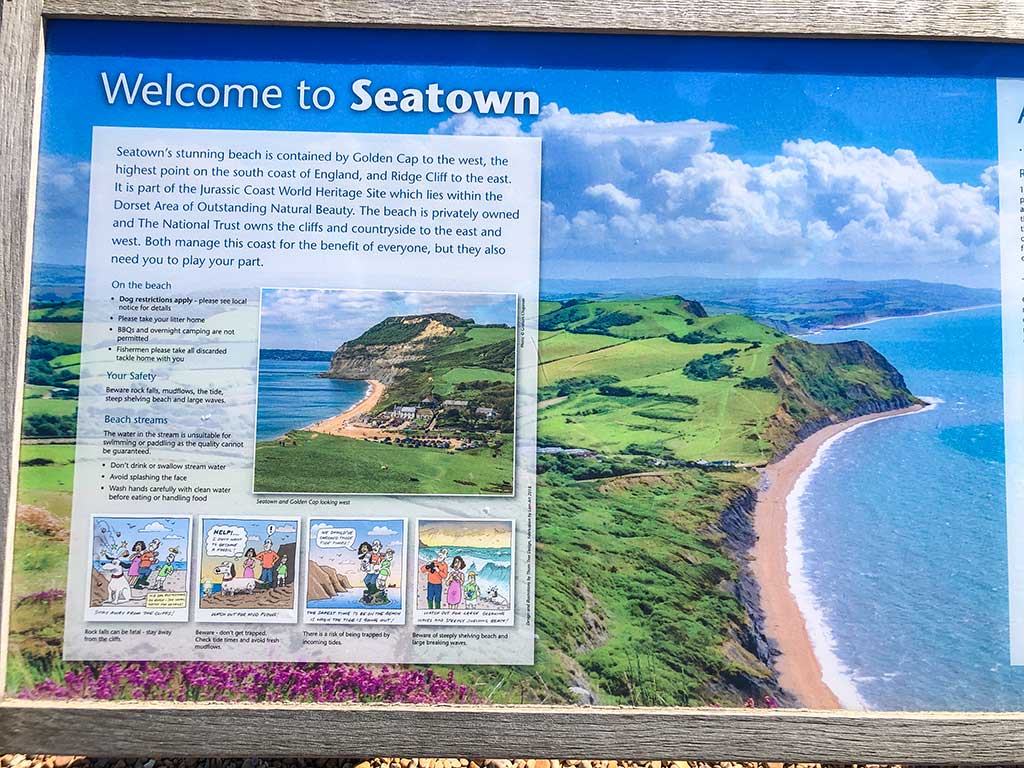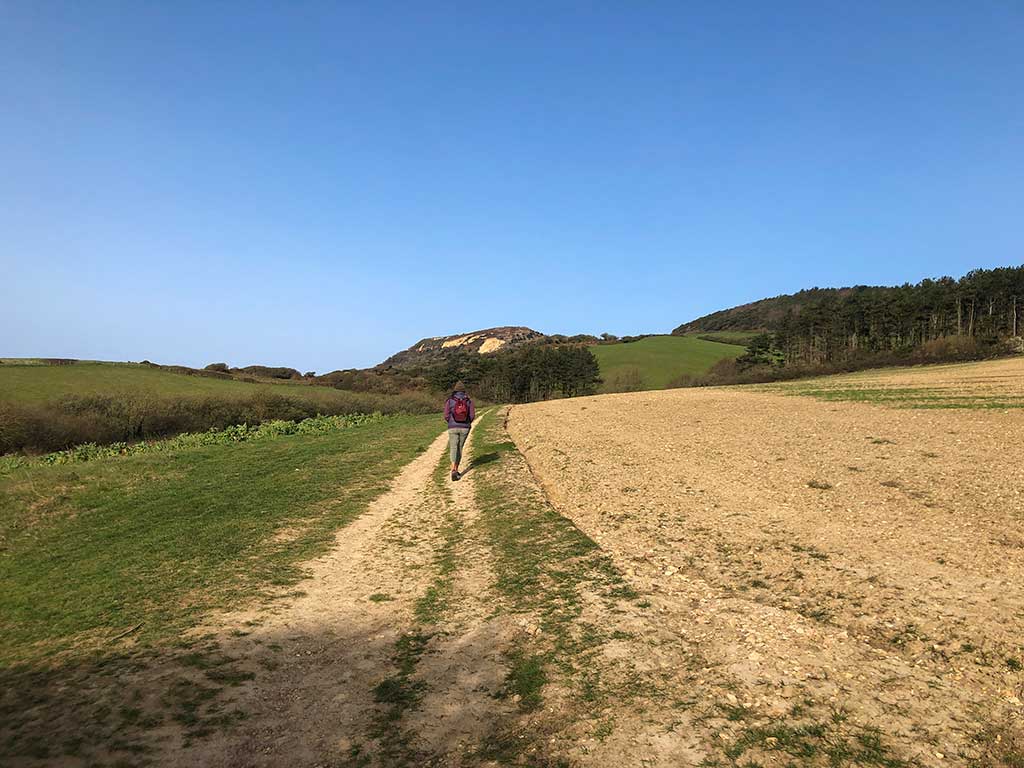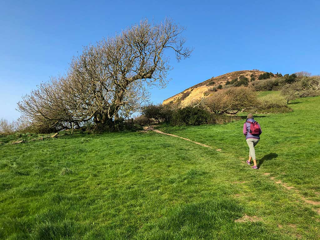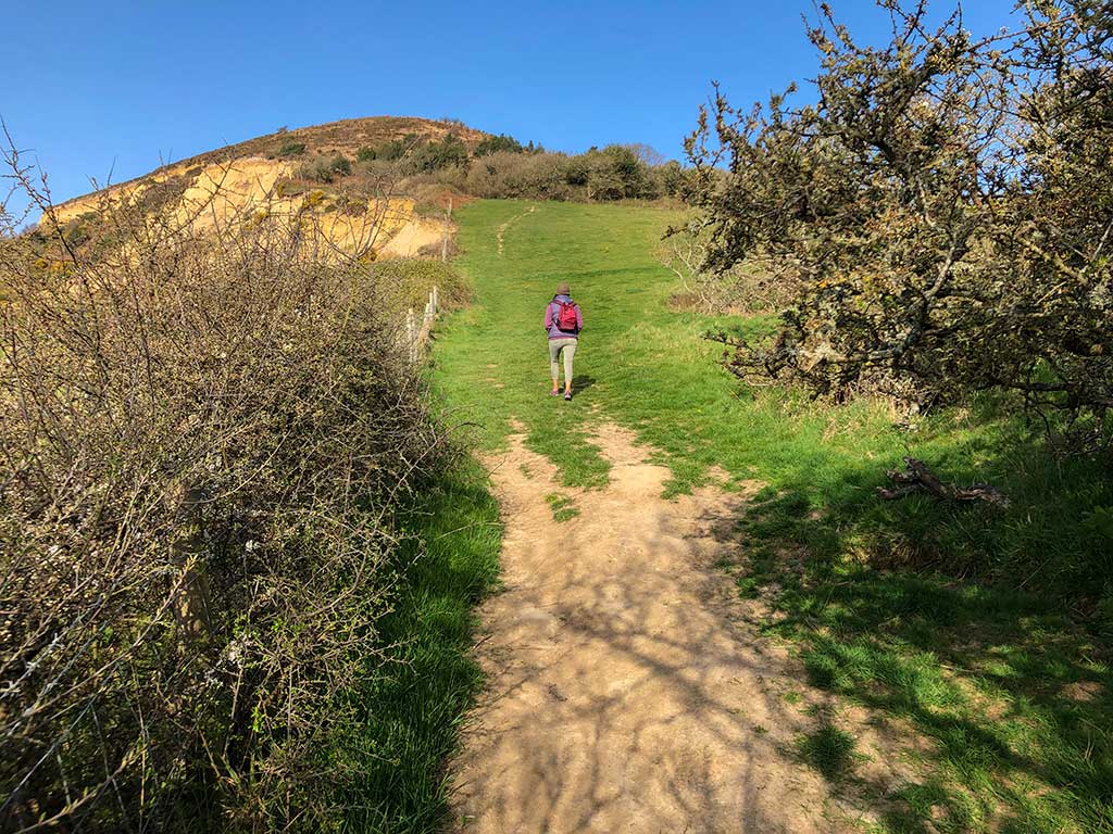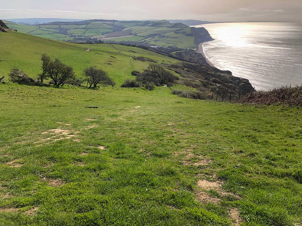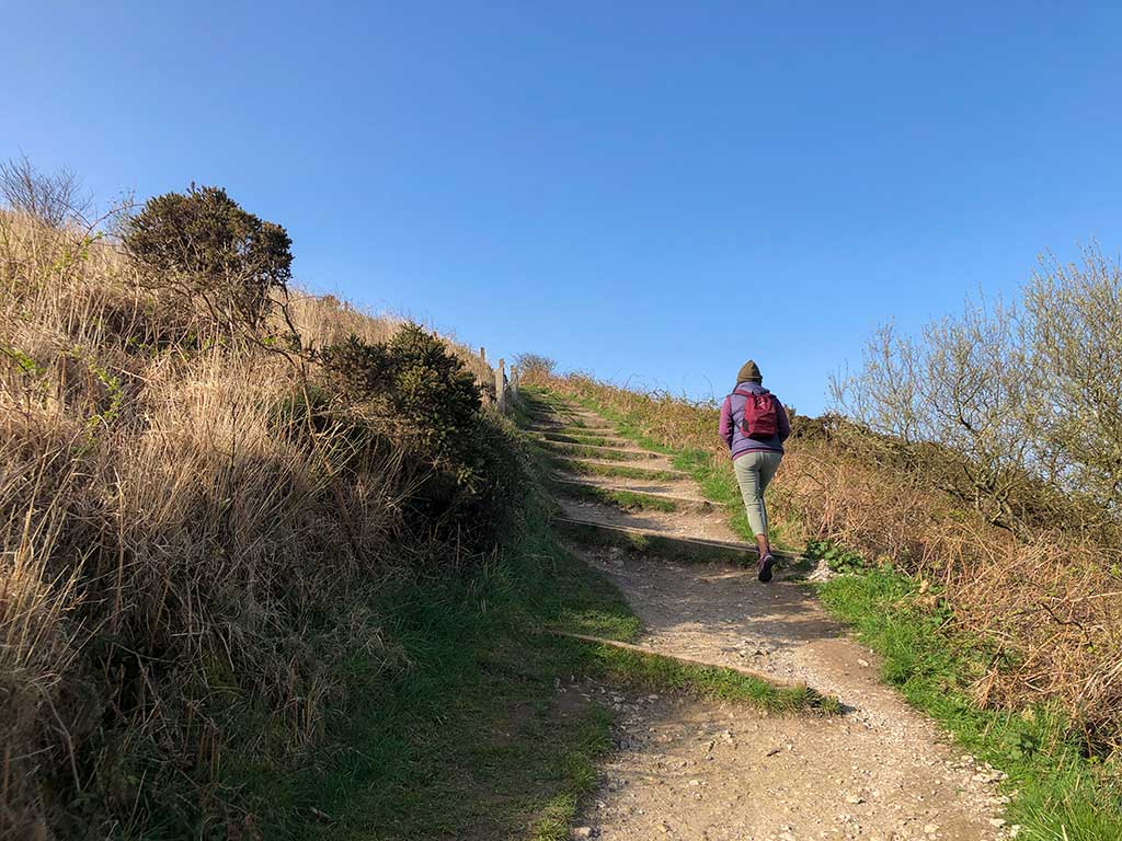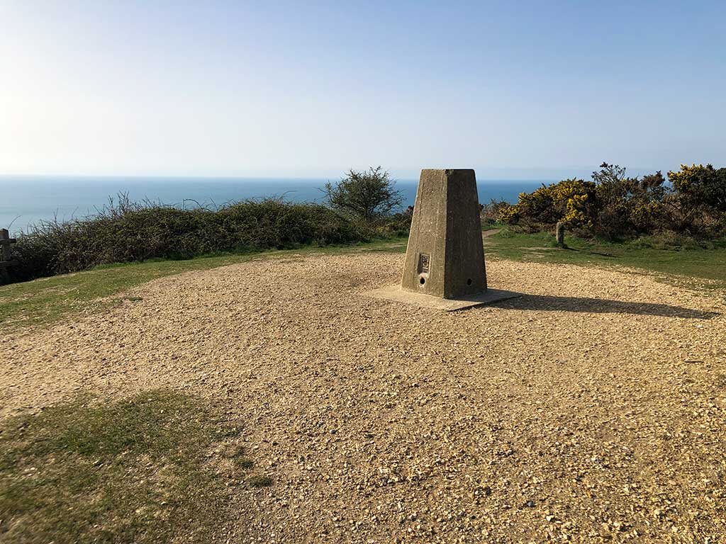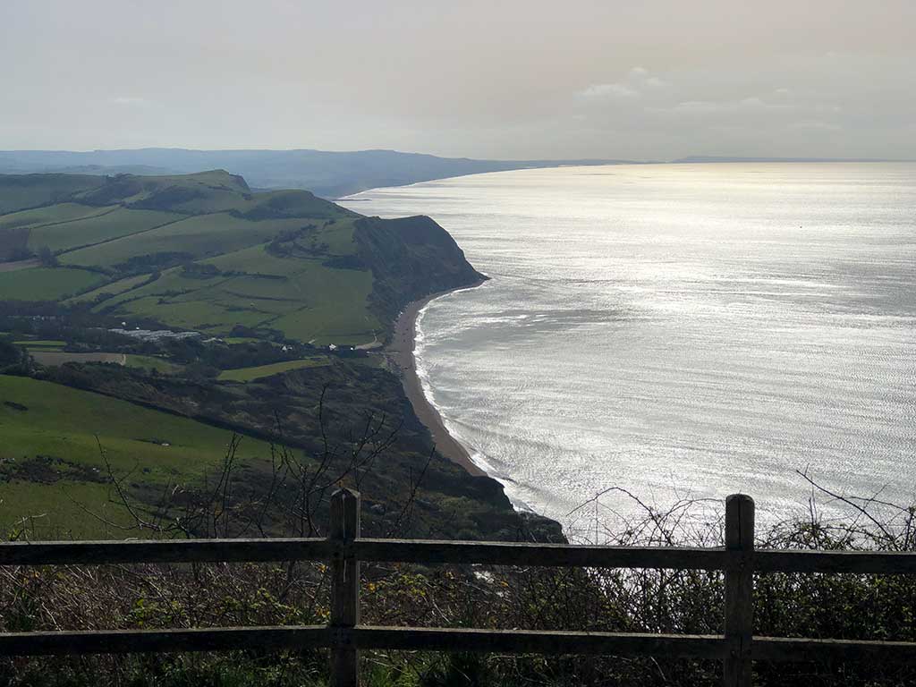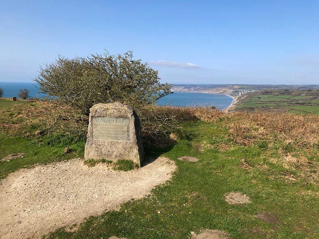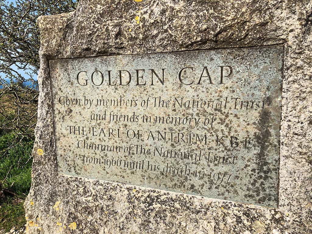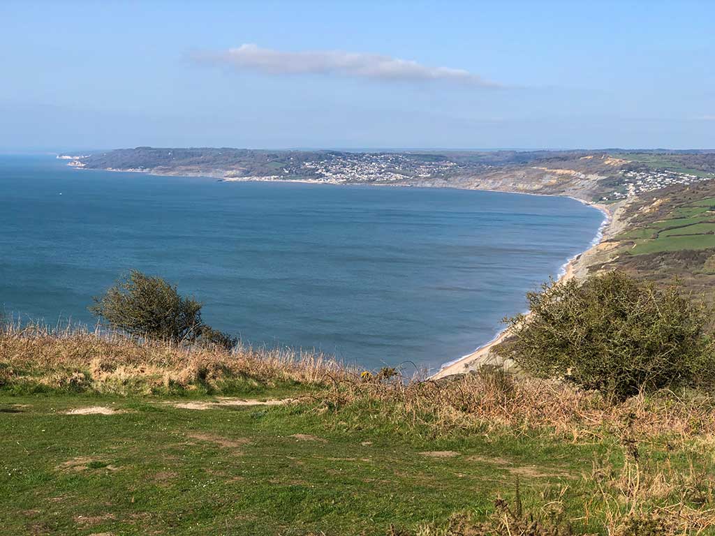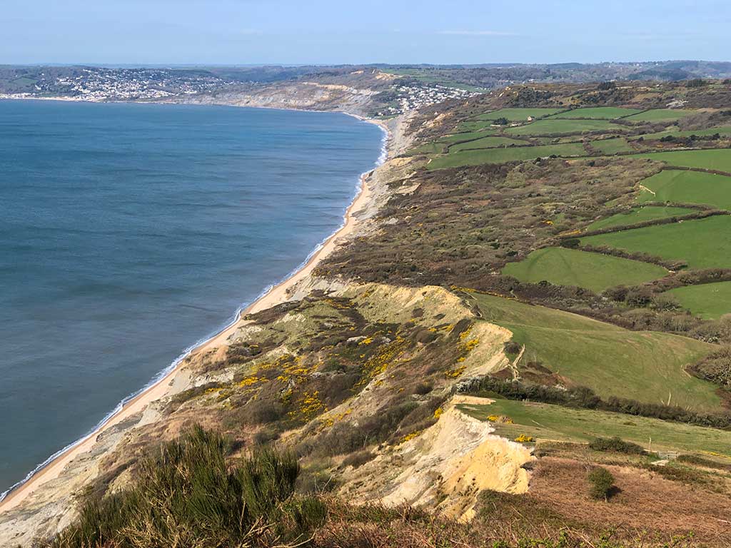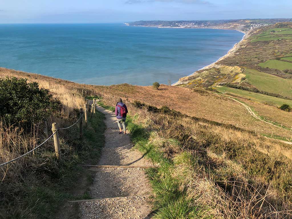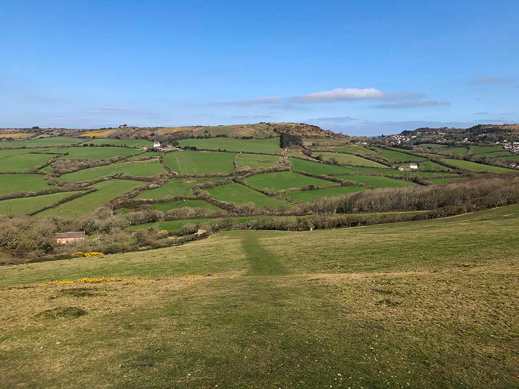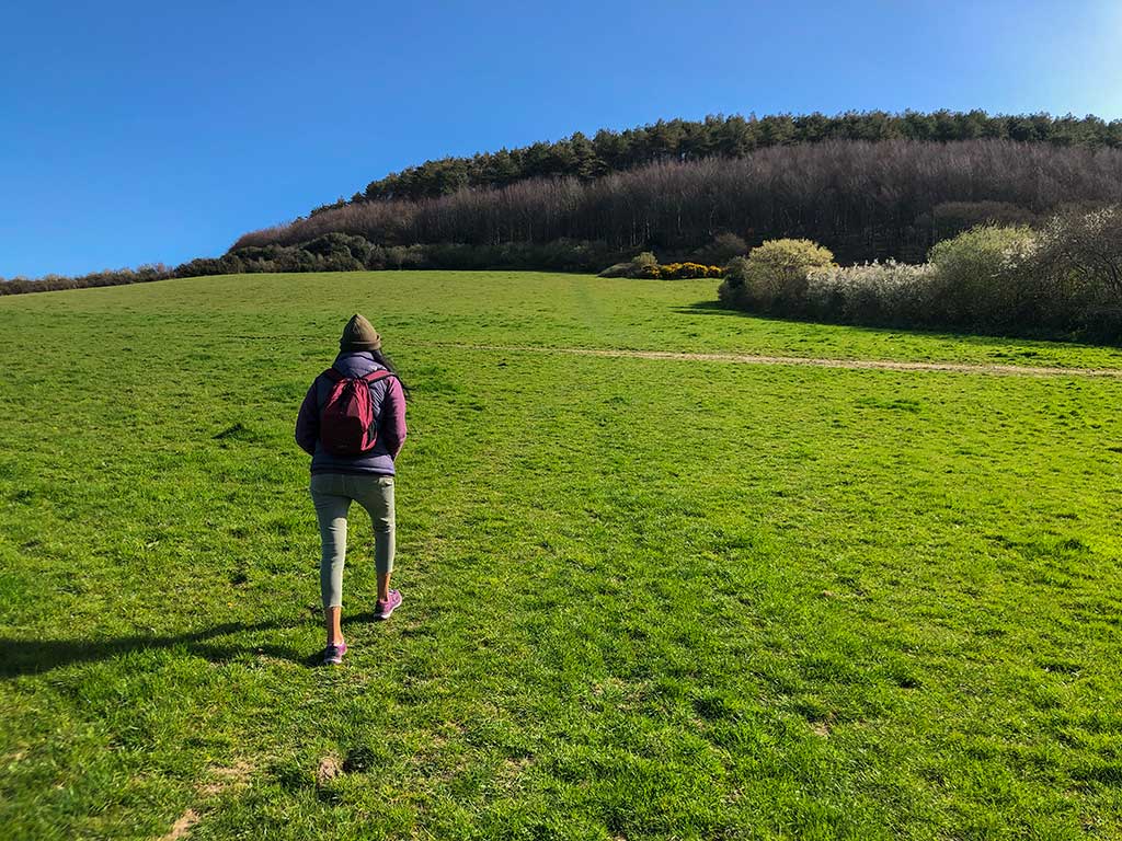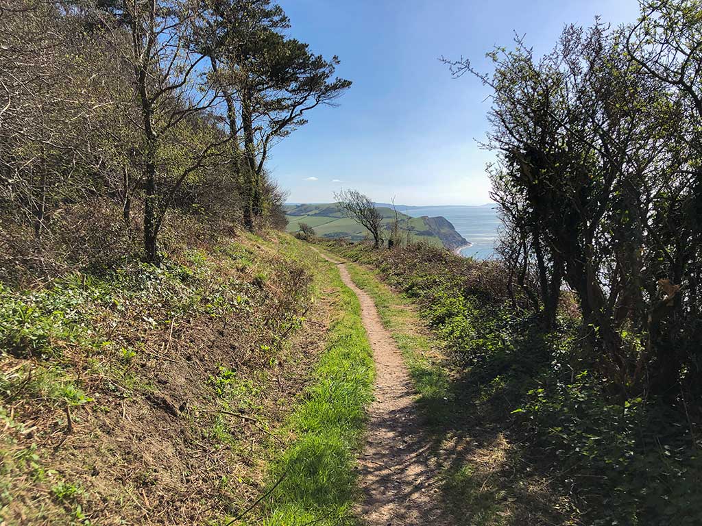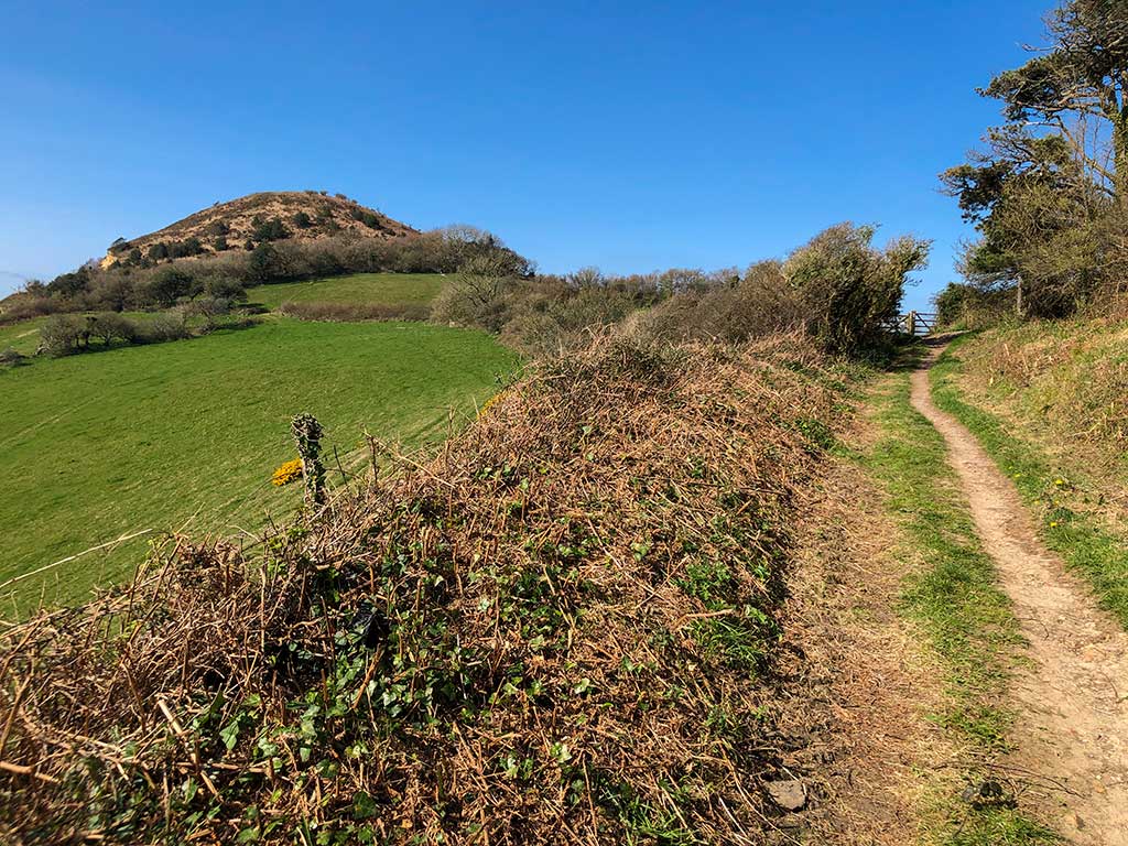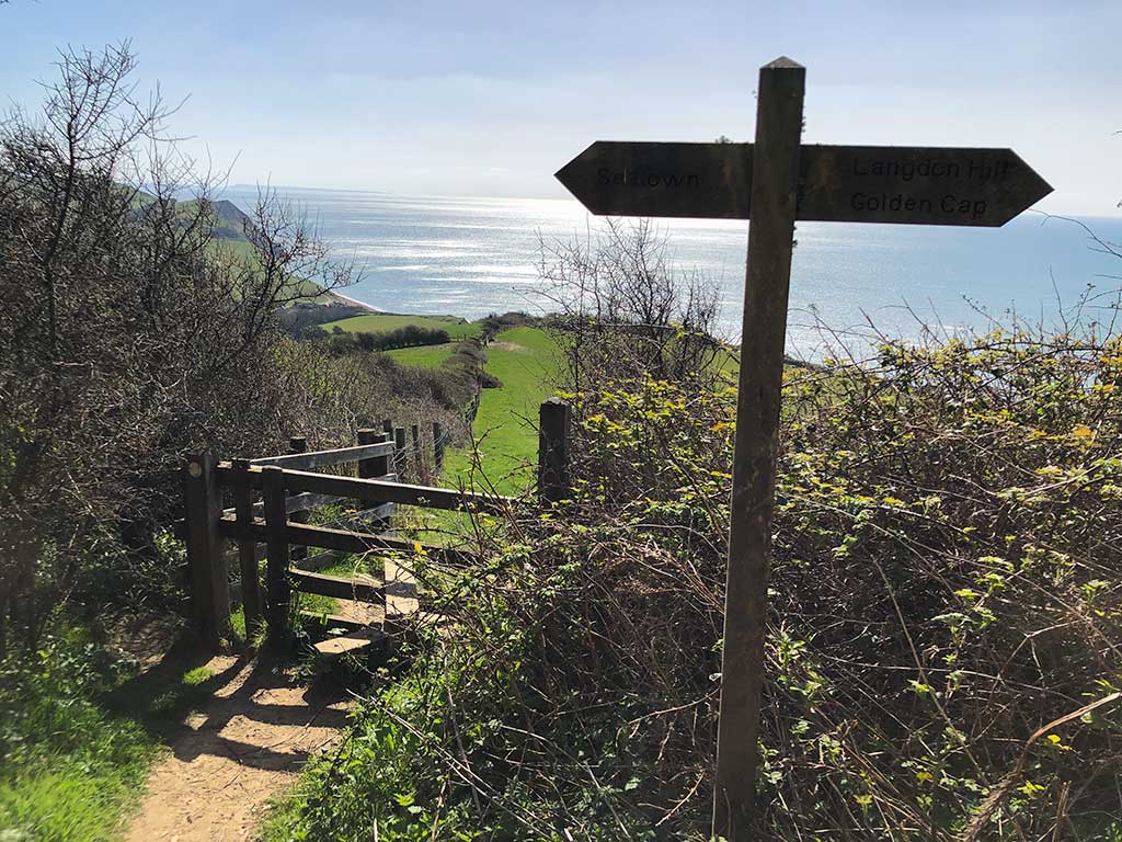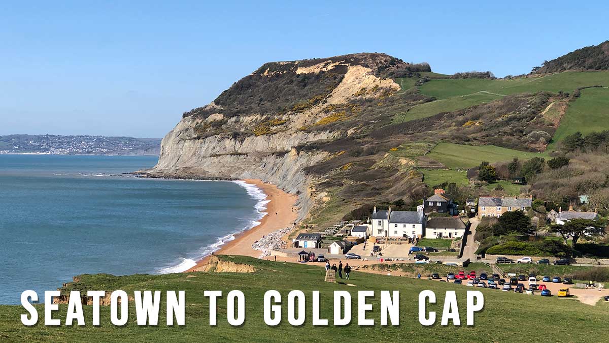
Golden Cap is the highest point in Dorset so you’ll get stunning views west along the Jurassic Coast towards Lyme Regis, east towards West Bay, Chesil Beach and the Isle of Portland and green rolling farmland to the north.
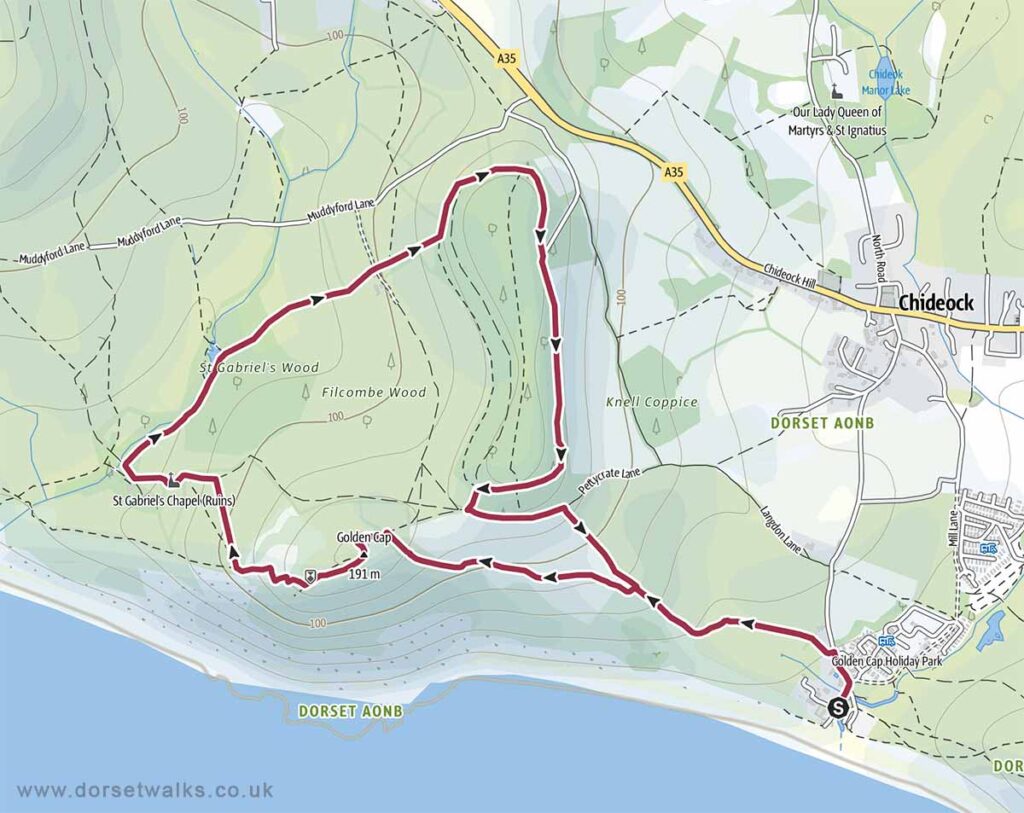
Distance: 4.1 miles
Difficulty: moderate
Estimated time: 2 hours 30 minutes
Total ascent 1175ft, Max elevation 604ft.
Base map © OpenStreetMap created in Outdooractive App
Route Map and GPS Navigation
https://www.outdooractive.com/
https://www.google.com/maps/
Disclaimer: Information and maps are provided in good faith. Every effort has been taken to ensure details and routes are safe and correct however Dorset Walks accepts no responsibility for content accuracy and anyone undertaking any walks listed on this website must do so at their own risk. Walkers should be of suitable fitness and suitably prepared for the walk. Stay away from cliff edges which may be unstable. Footpaths may pass through fields with grazing livestock. Keep a safe distance from any animals and always keep dogs on a lead and under control.
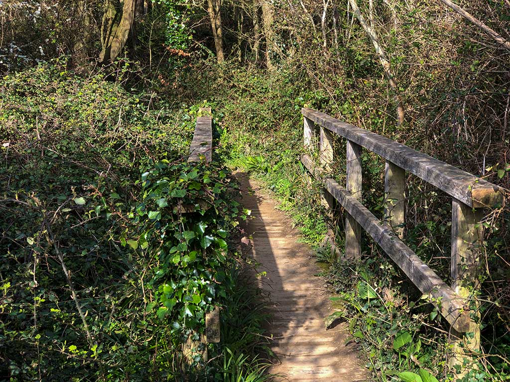
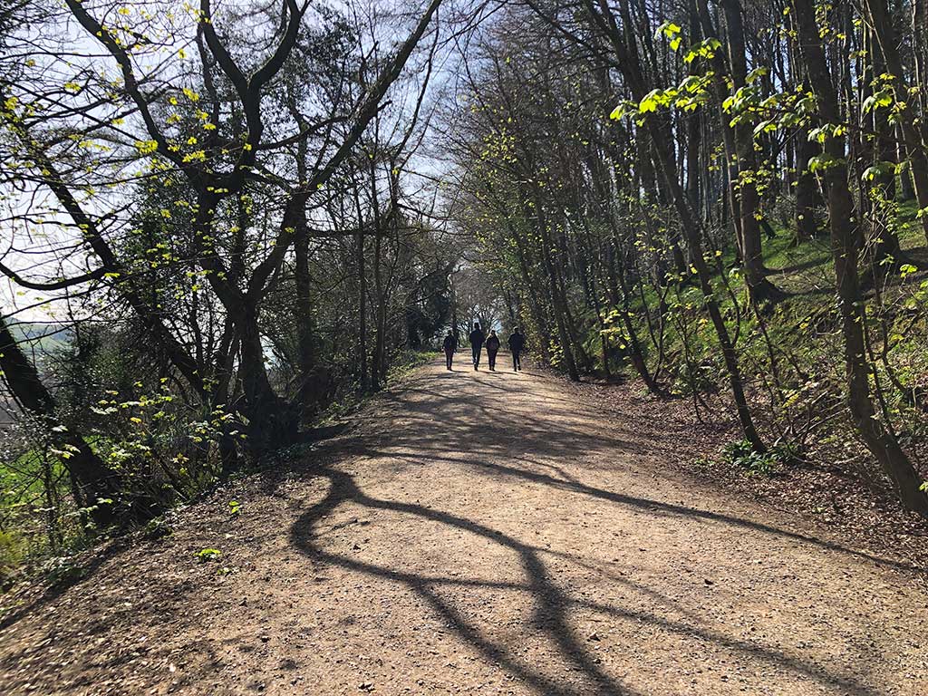
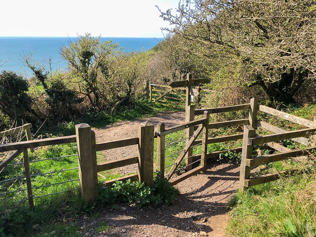
Route Description and Photos
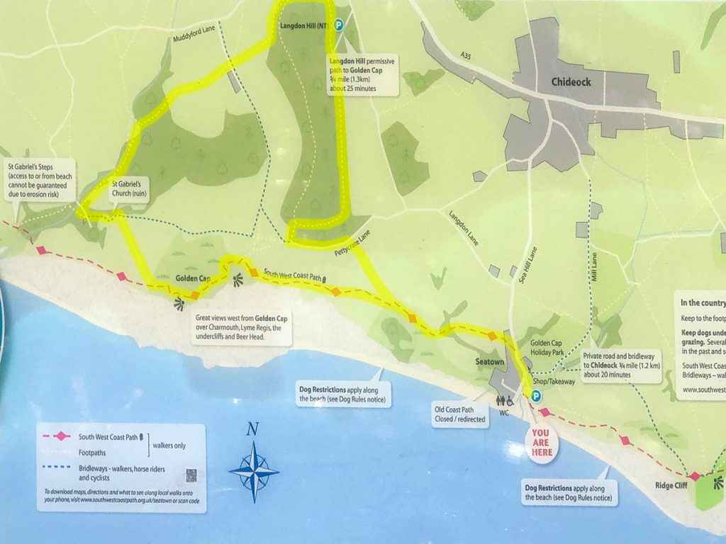
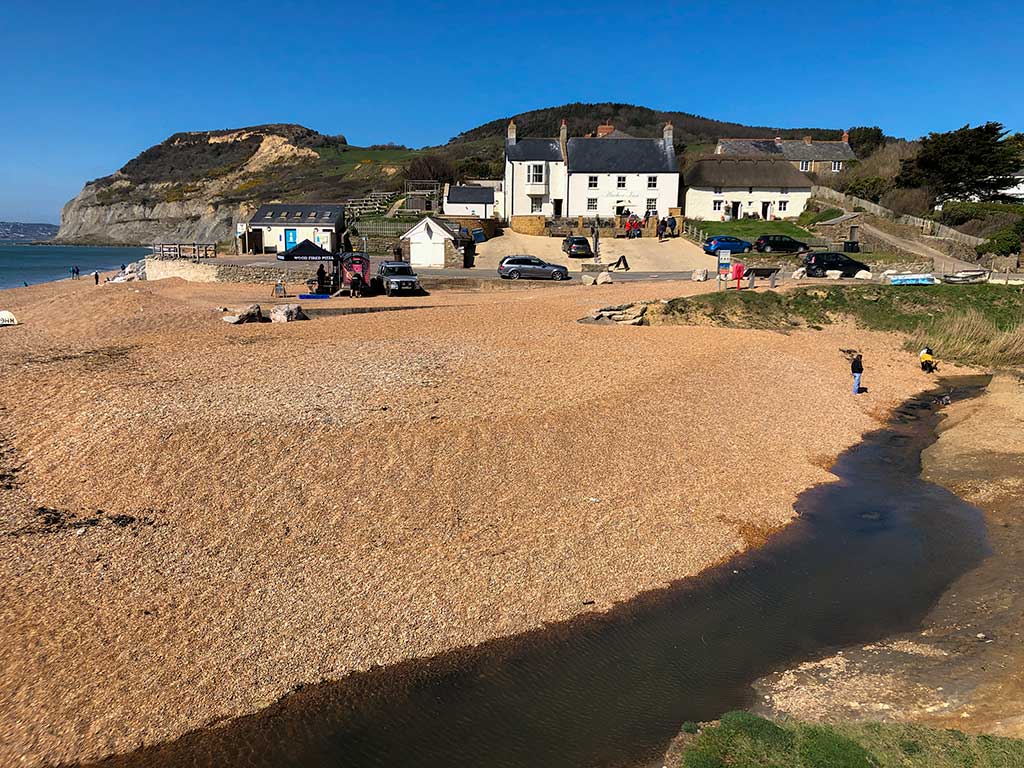
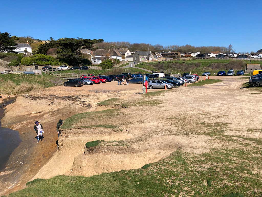
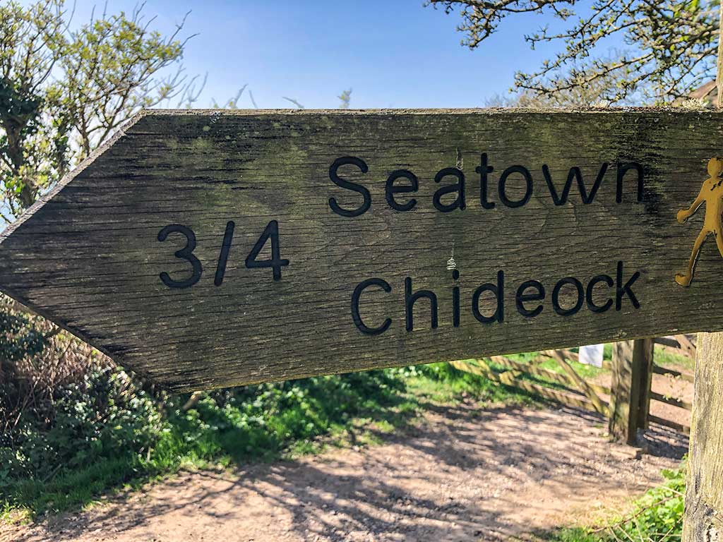
The starting point of this walk is the small coastal hamlet of Seatown which is about 3 miles south-west of Bridport. There is a good-sized private car park near the beach which costs £5 all day. SAT NAV DT6 6JU (Google maps) (w3w).
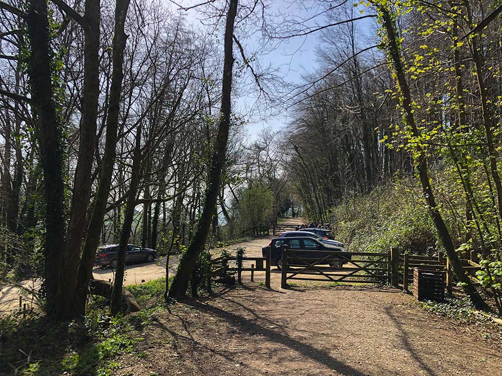
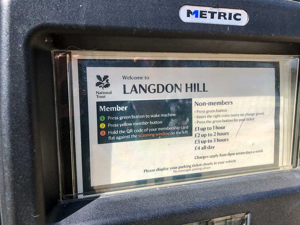
If you are a member of the National Trust and want to save yourself a fiver then you can start the walk at the Langdon Hill National Trust car park DT6 6SF (Google maps)(w3w)
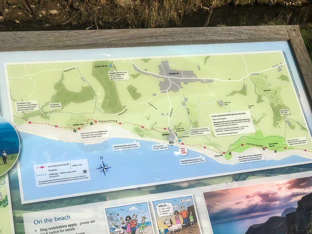
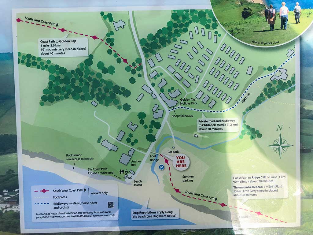
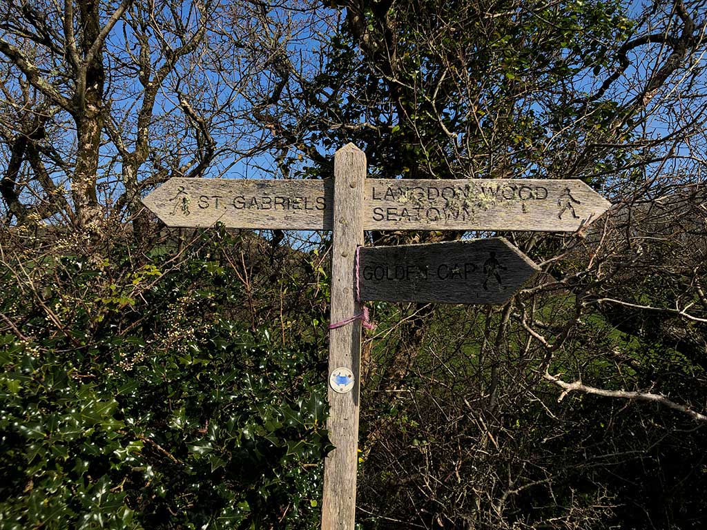
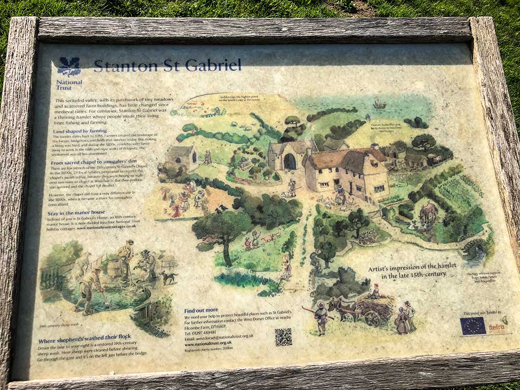
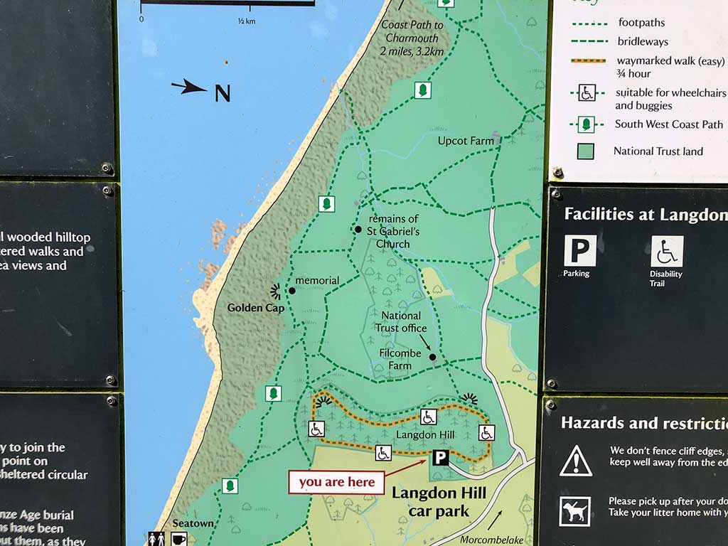
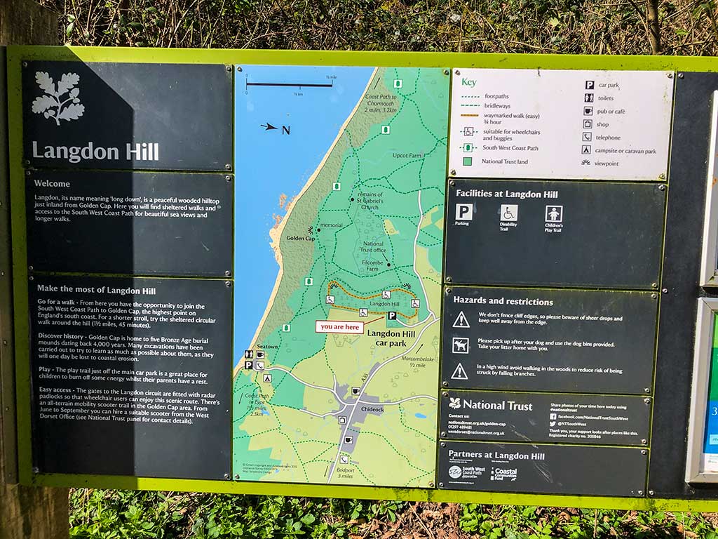
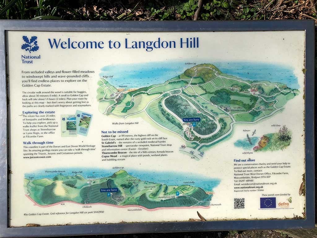
Facilities in Seatown include a good pub The Anchor Inn https://theanchorinnseatown.co.uk and public toilets next door. Opposte the pub you’ll find an information board showing maps of the walks to Golden Cap (to the west) or to Thorncombe Beacon (to the east)
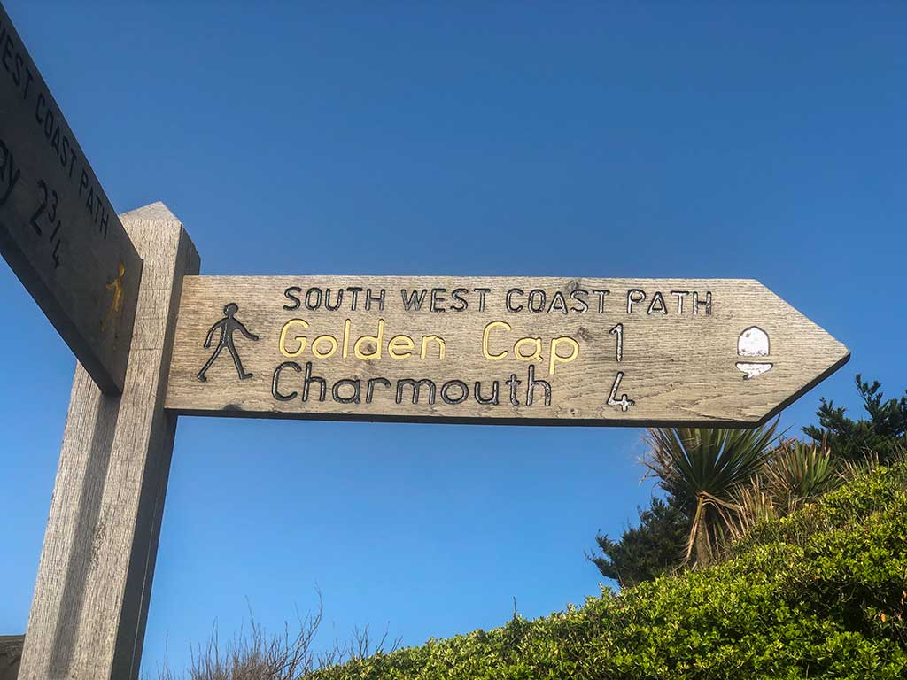
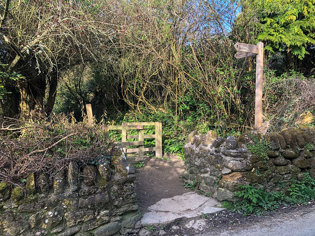
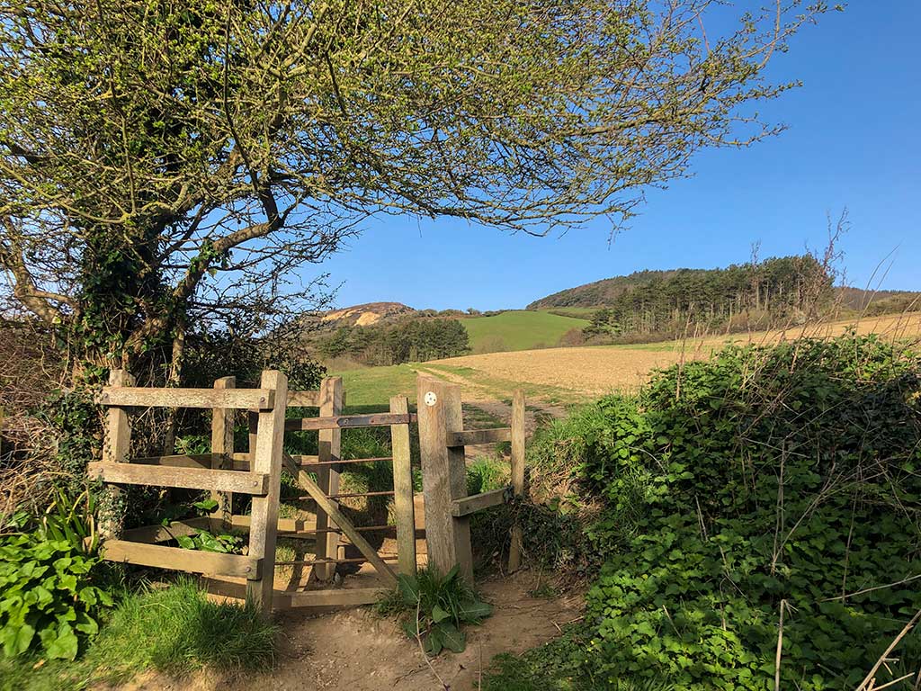
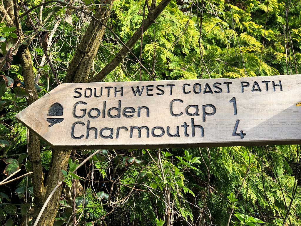
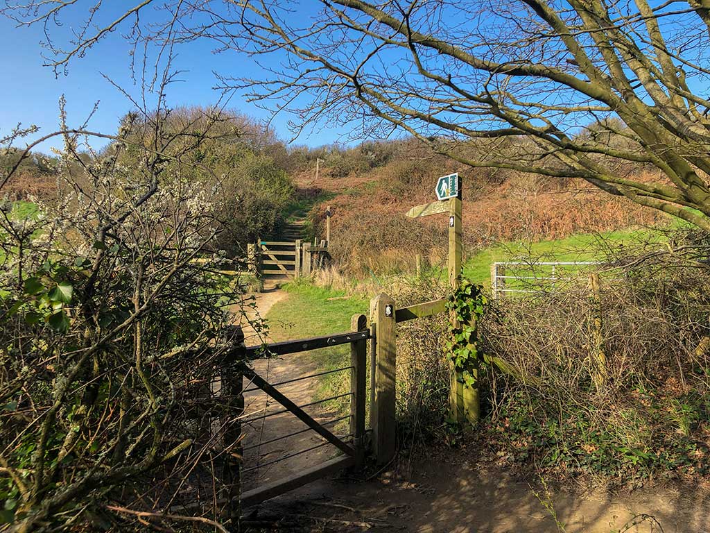
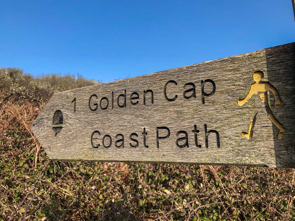
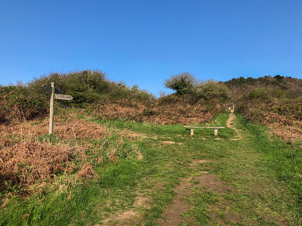
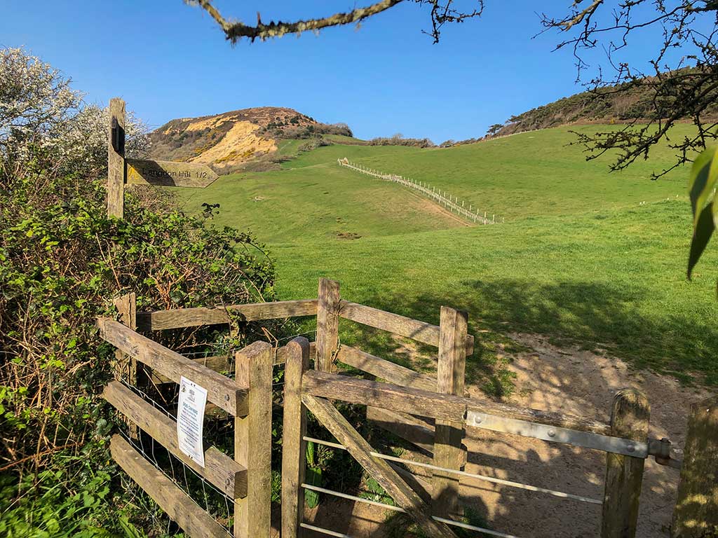
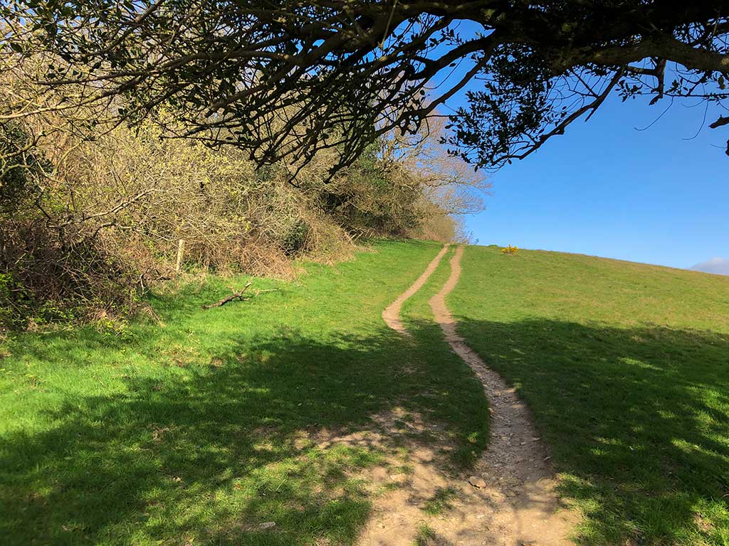
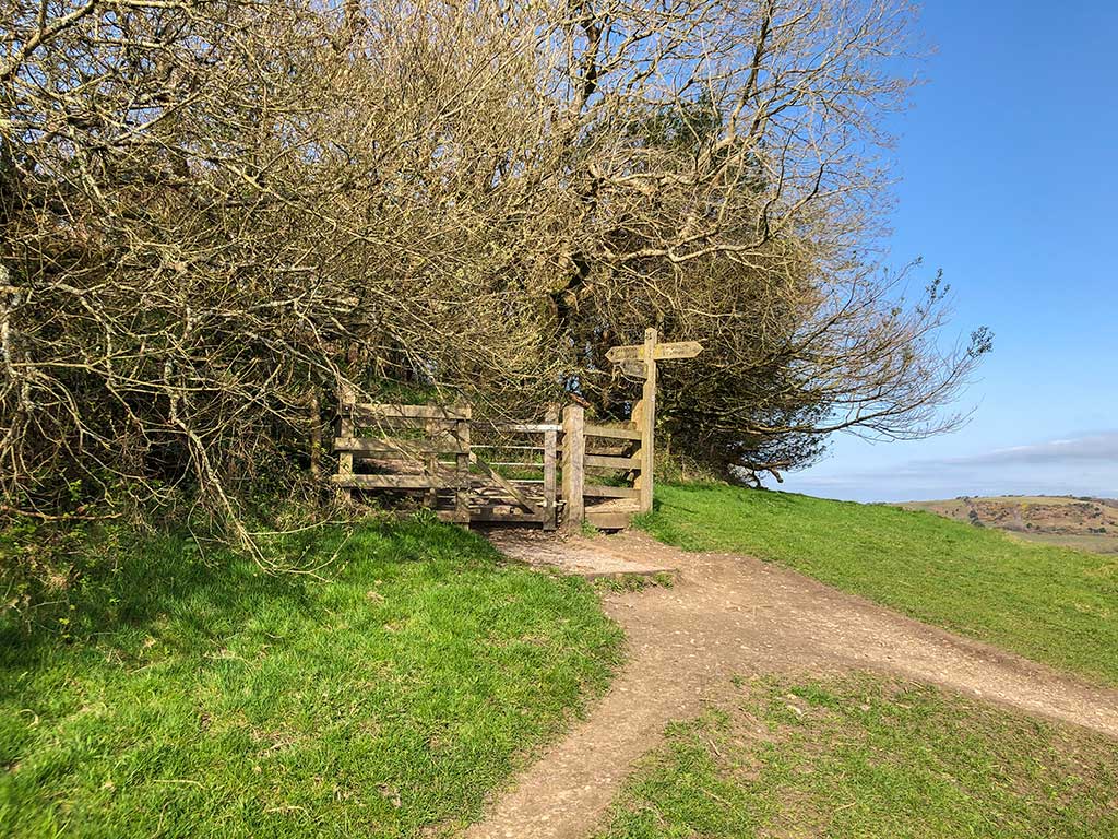
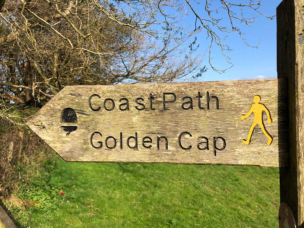
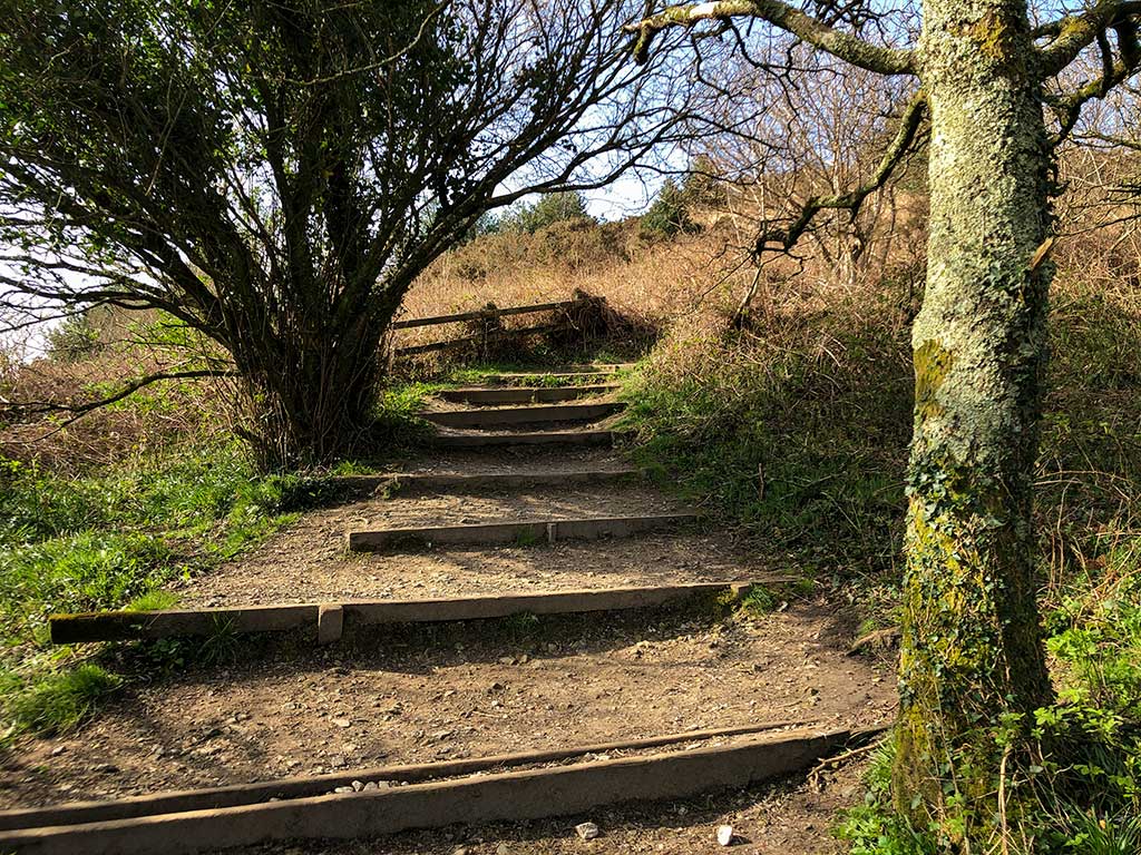
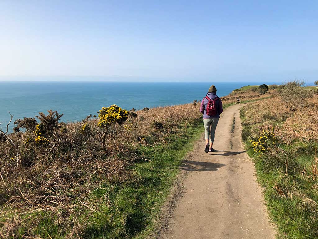
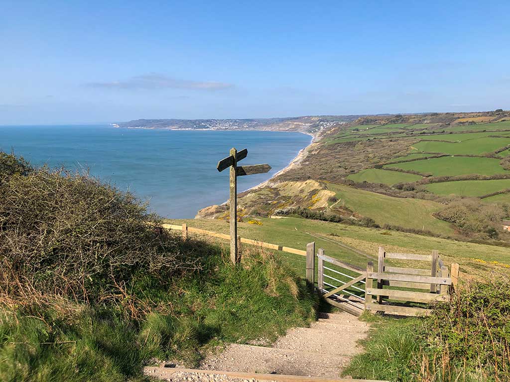
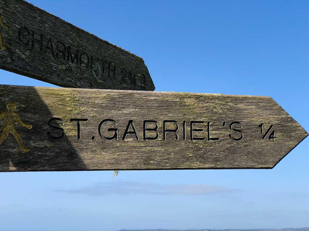
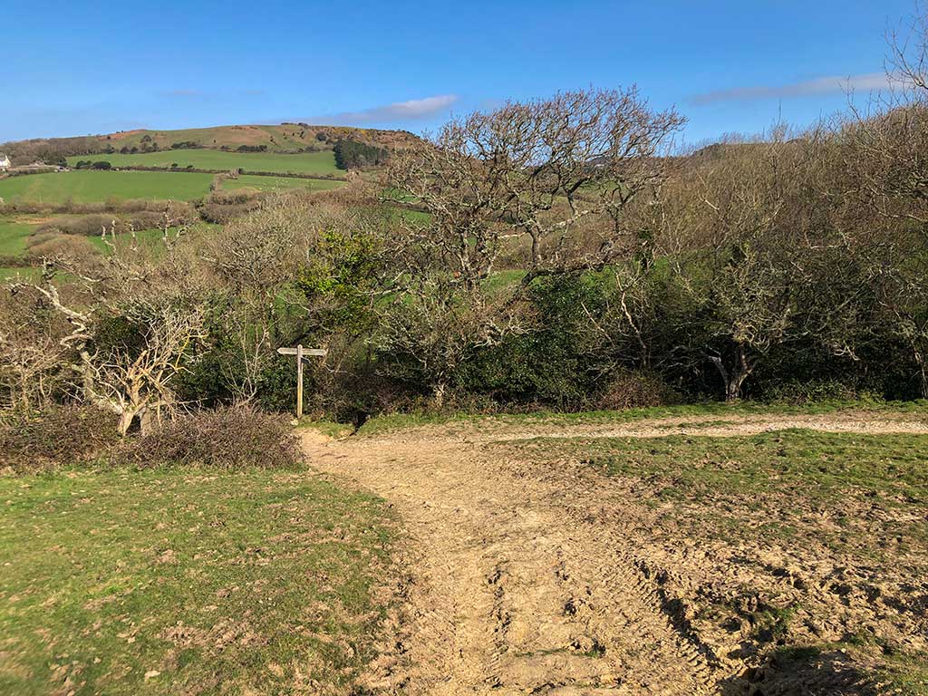
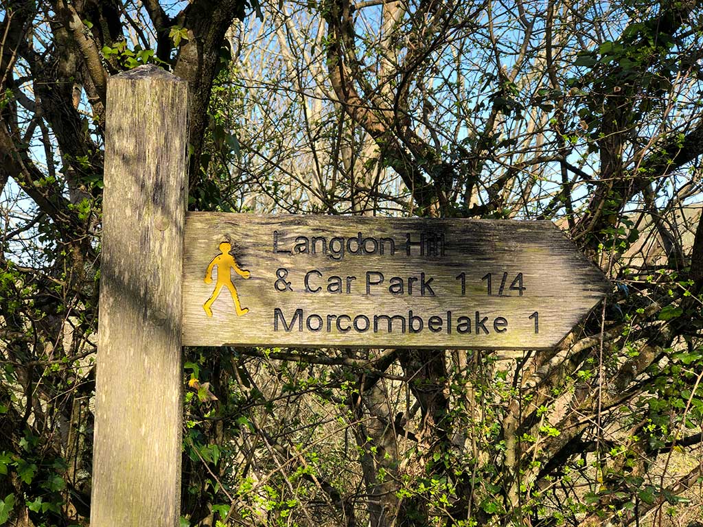
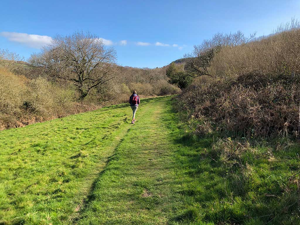
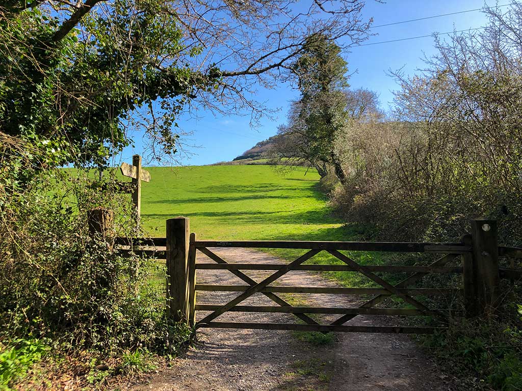
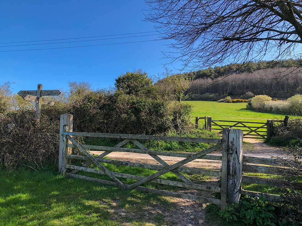
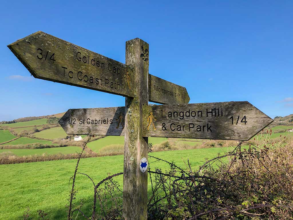
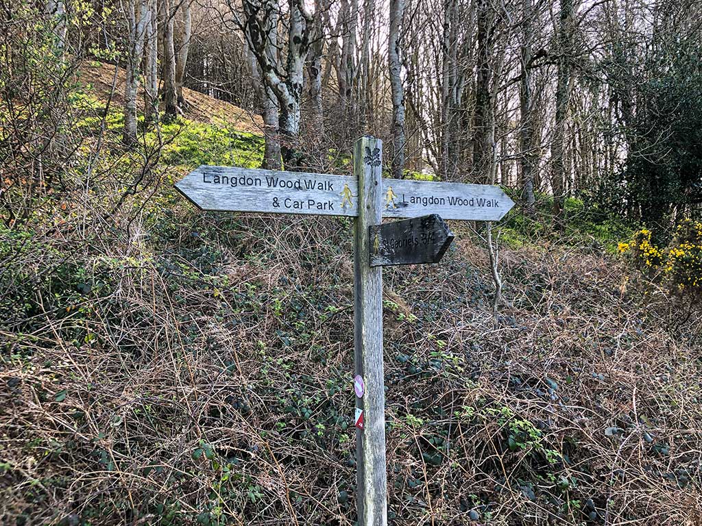
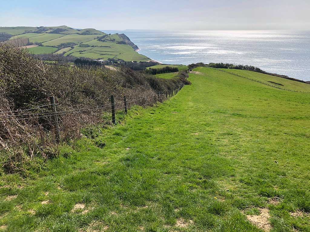
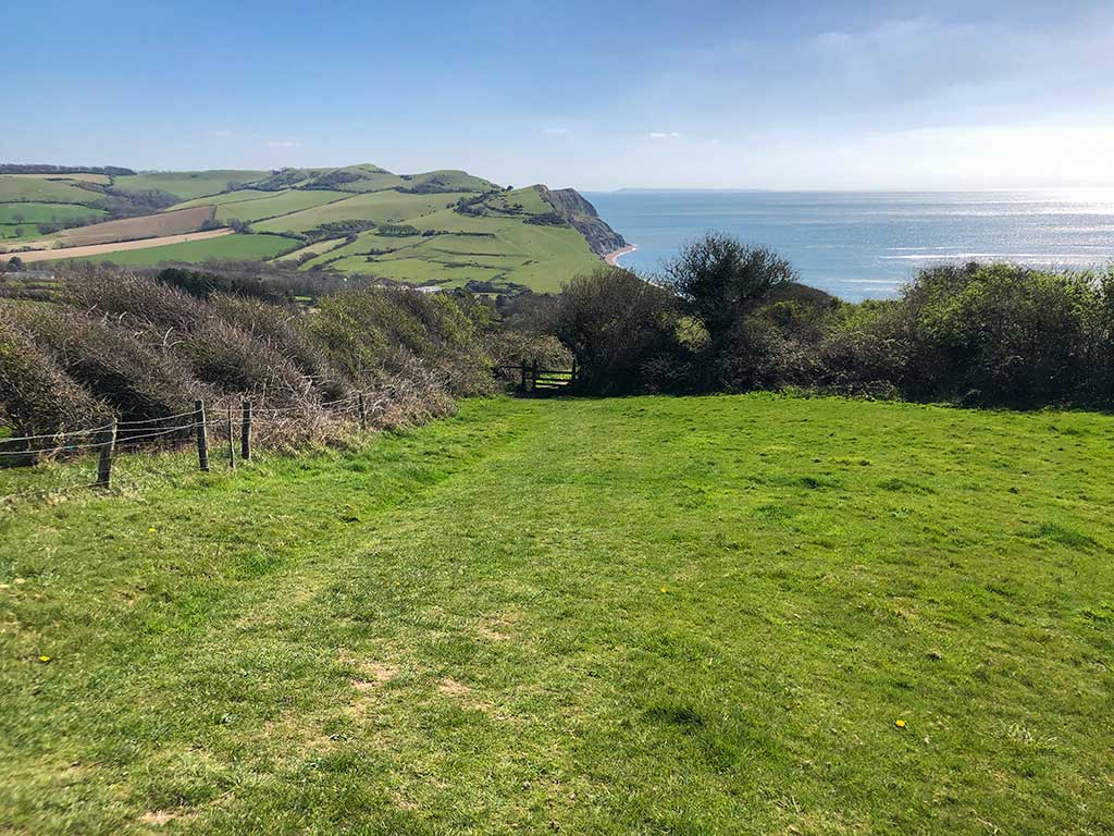
If you don’t have a map then you can just take a photo of the information board. The path to the top of Golden Cap is well marked so you won’t get lost especially since it’s the highest hill in Dorset and clearly visible for most of the walk.