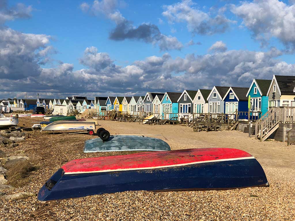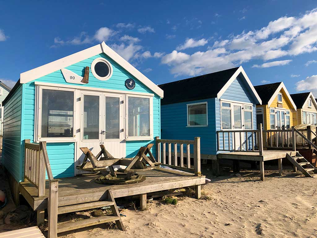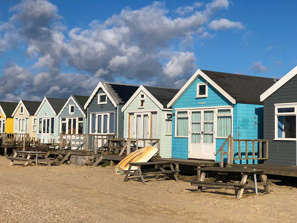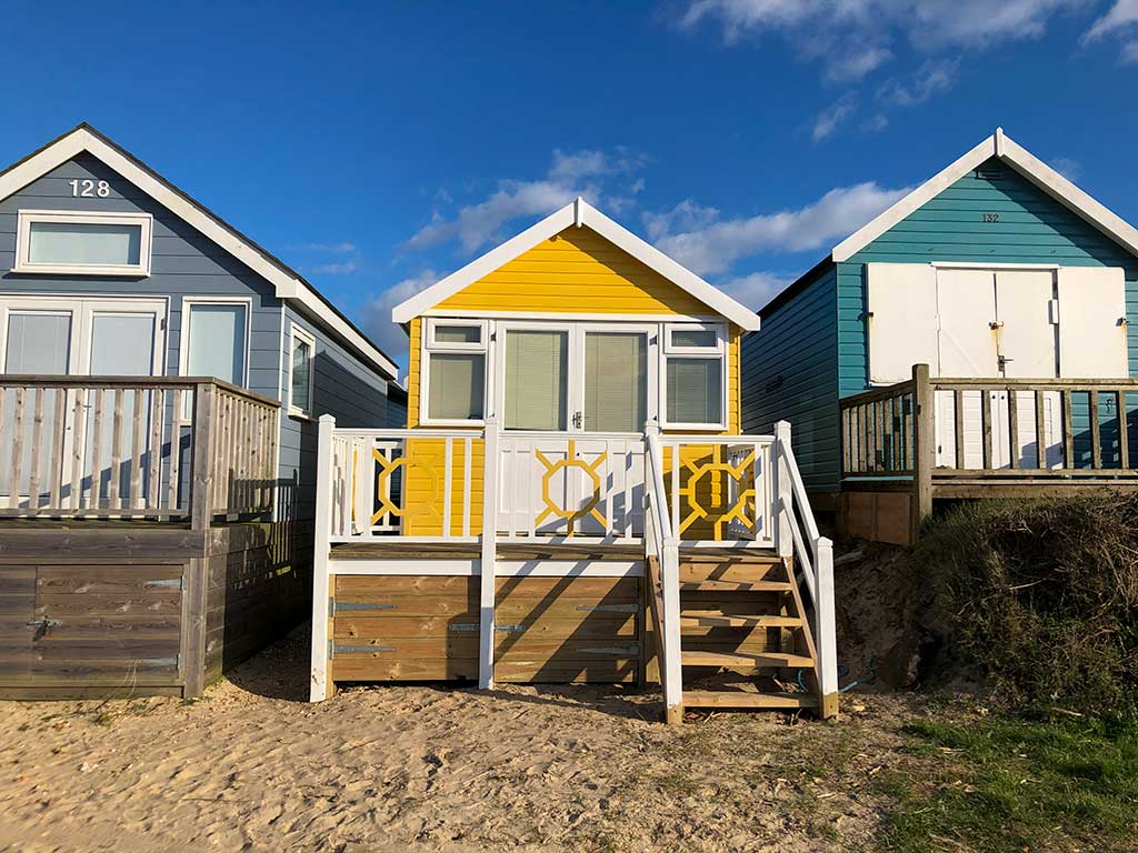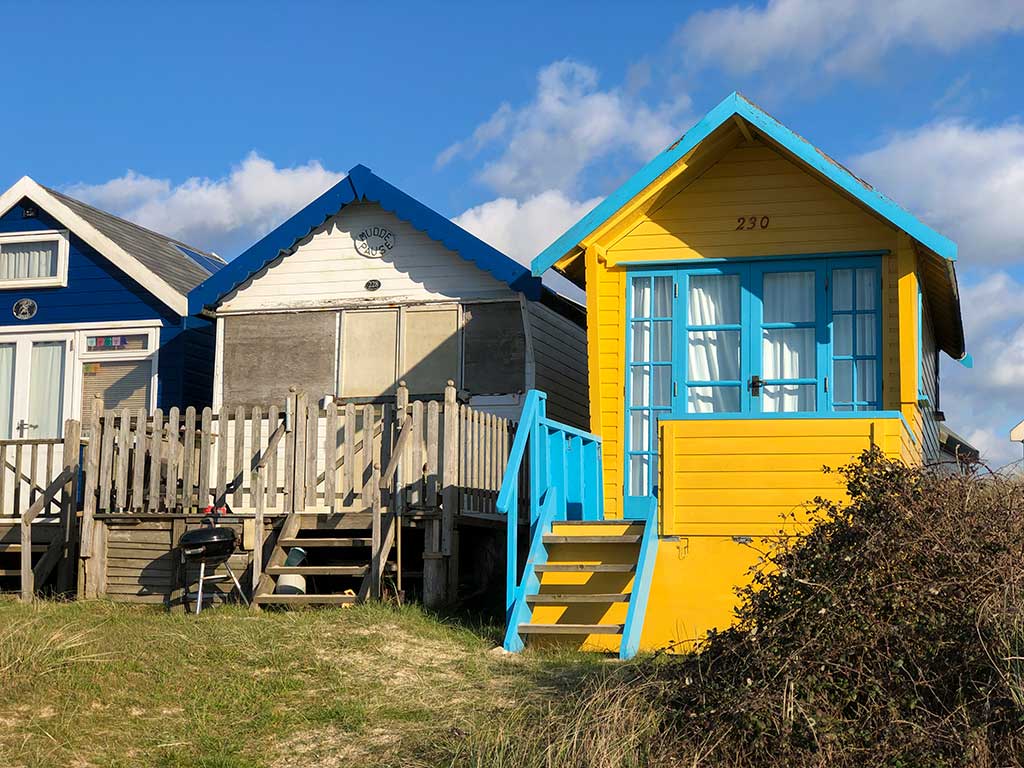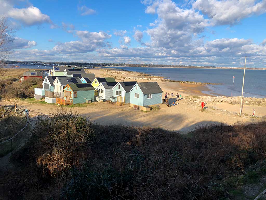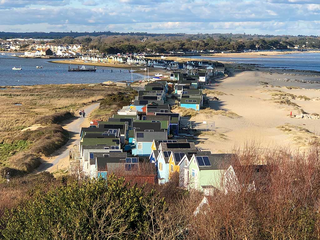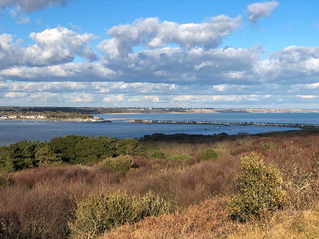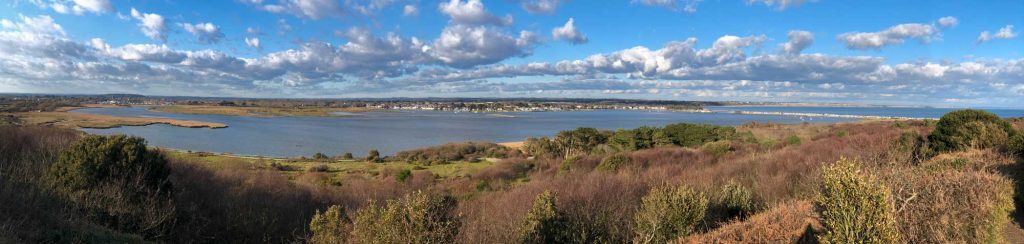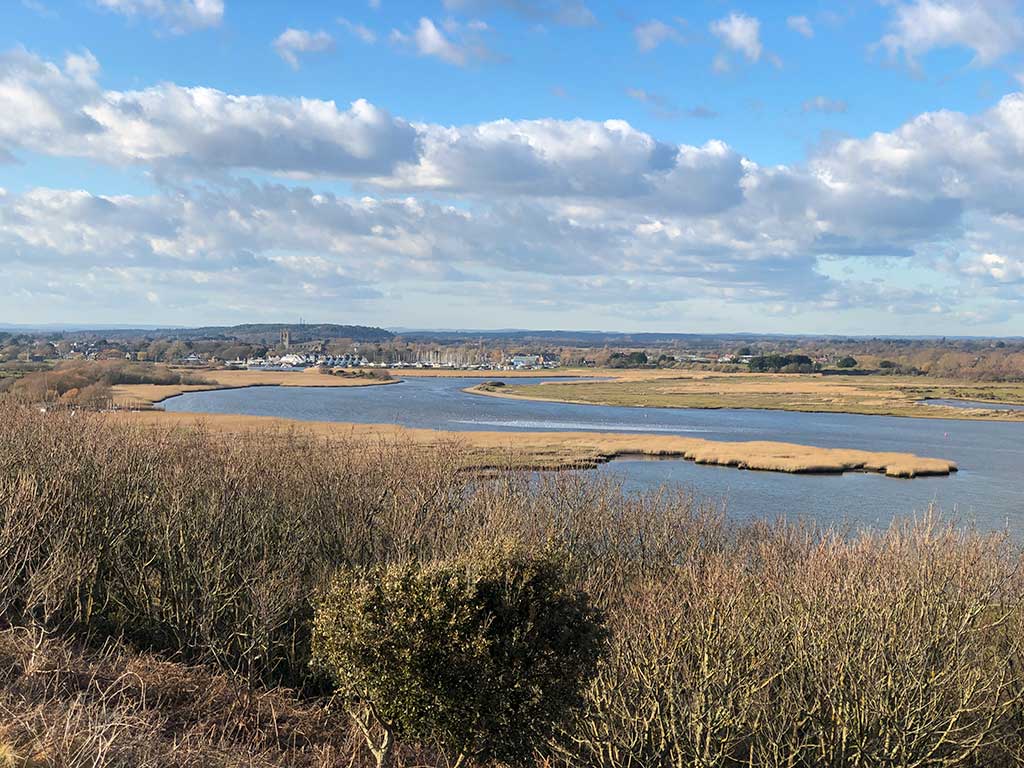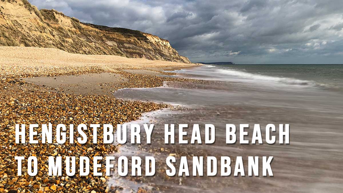
This circular walk starts at Southbourne beach and follows the beach all the way along to the beach huts at Mudeford Sandbank before returning back over the top of Hengistbury Head.
Distance: 4.2 miles
Difficulty: moderate (mostly level but made more difficult by walking on sand),
Estimated time: 2 hours 30 mins
Total ascent: 128ft, Max elevation: 131ft
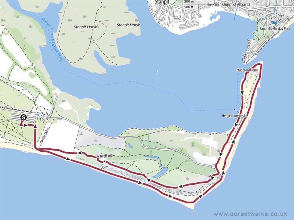
Base map © OpenStreetMap created in Outdooractive App
Route Map and GPS Navigation
Link to Hengistbury Head Beach GPS route map
https://www.outdooractive.com/
https://www.alltrails.com/
https://explore.osmaps.com/
https://www.google.com/maps/
Route Description and Photos
Route: Hengistbury Head Car Park – Hengistbury Head Beach – Mudeford Sandbanks – Rtn
The starting point for this walk is Southbourne Beach. I’ve chosen this point because of the free all-day parking all along the cliff-top road (Southbourne Coast Road). SAT NAV BH6 4BE (Google maps) (w3w). During the summer and school holidays you’ll have to arrive very early to get a parking space. An alternative pay-and-display car park can be found nearby or you can reduce the length of the walk by parking nearer to Hengistbury Head at the Solent Beach public car park BH6 4DX (Google maps). Car park prices can be found at www.bournemouth.gov.uk. The Hengistbury Head car park is even closer BH6 4EN (Google maps). Car park prices can be found at www.bournemouth.gov.uk There are public toilets and the Hiker Cafe https://hikercafe.co.uk next to the Hengistbury Head car park.
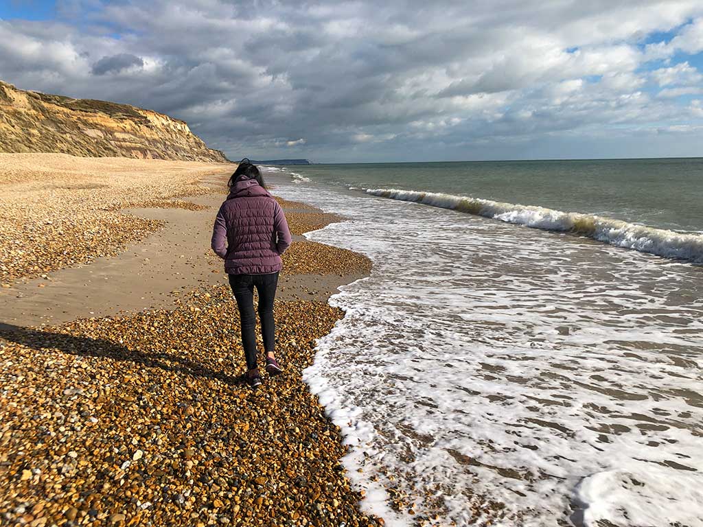
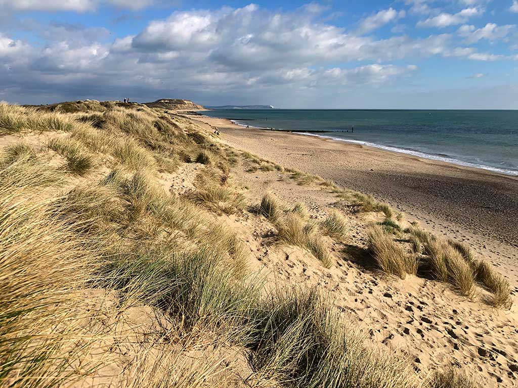
Just walk down onto the Southbourne beach promenade and walk eastwards along the coast towards Hengistbury Head which is the headland of golden sandy cliffs you can see in the distance. There are toilet facilities at Southbourne Beach and a beach cafe.
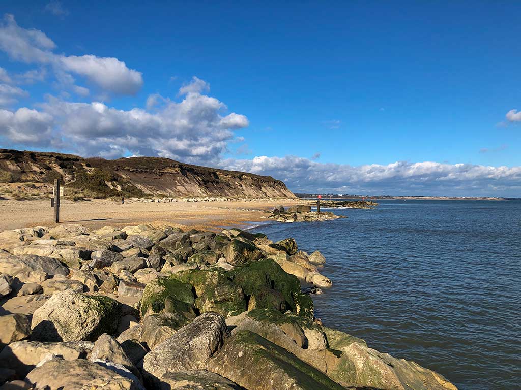
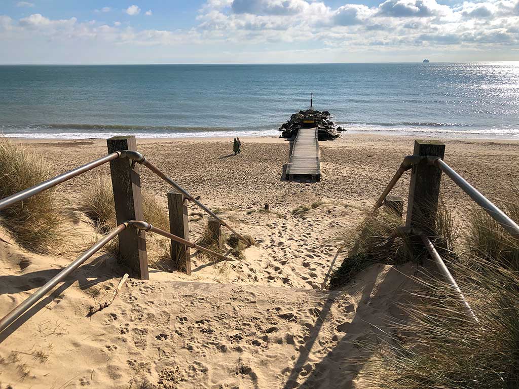
At the end of the promenade just continue along the beach until the second coastal defence groyne as shown in the photo below. (Google maps) (w3w)
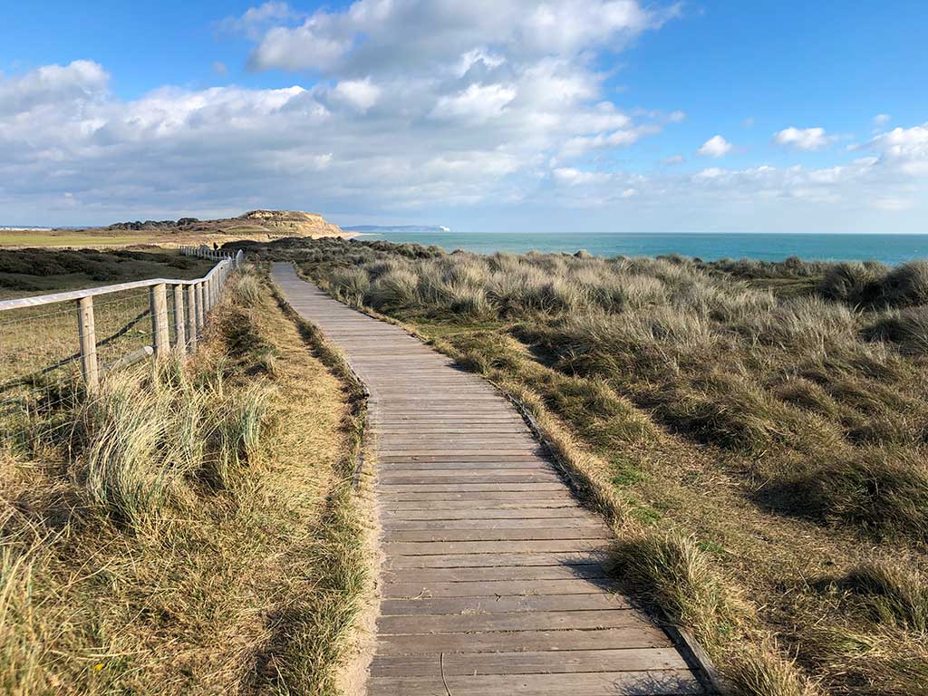
You can follow the boardwalk along the top of the beach
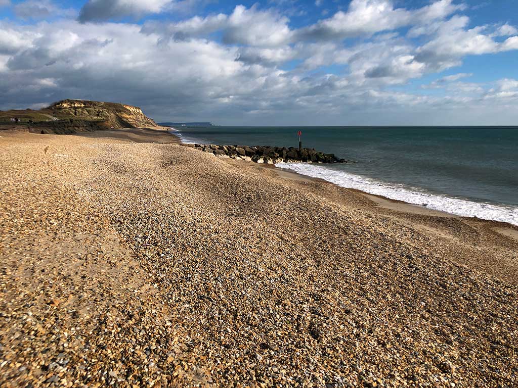
As you get closer to Hengistbury Head you’ll have to continue along the beach. Obviously check to see that the tide hasn’t come too far in that it looks dangerous. I’ve never seen the tide so high that it looks as if you’ll have problems walking along the beach but if you are in any doubt you can just follow the “standard” footpath that takes you up onto the top of Hengistbury Head rather than along the beach.
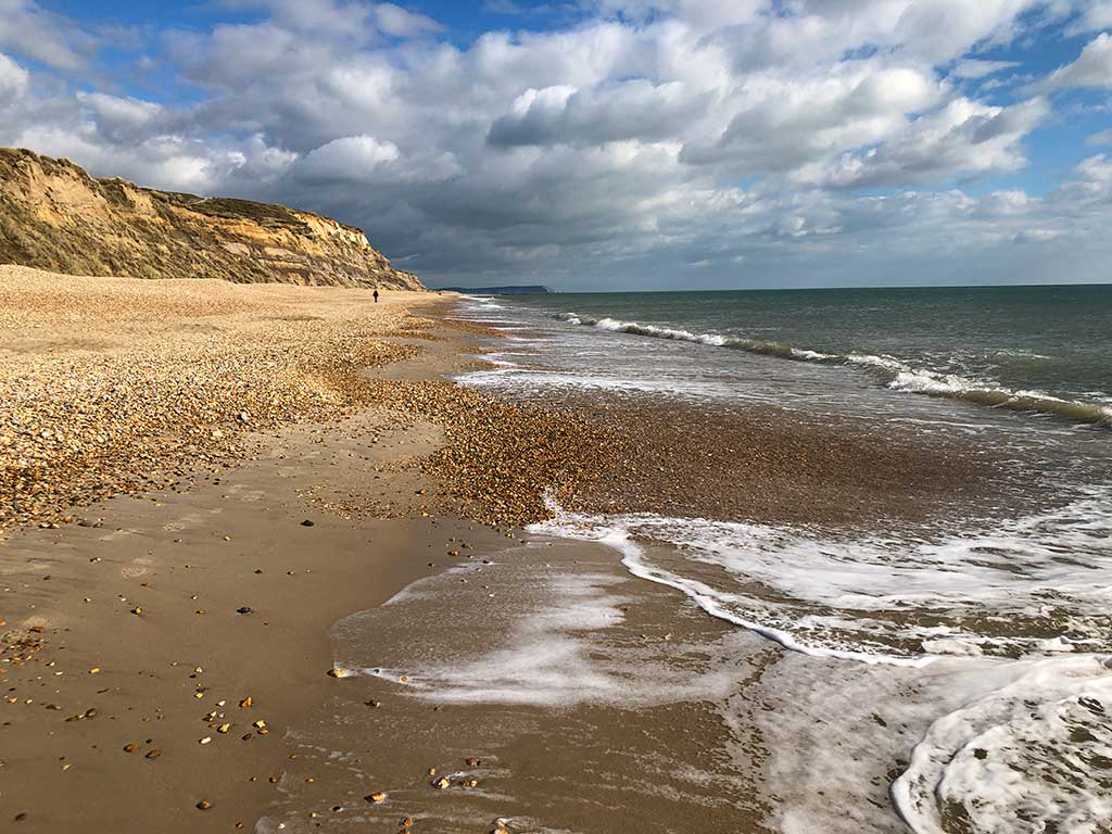
The beach comprises shingle and pebbles so it can get a bit tiring. I have to admit that when we did this walk it was one of the first of the year and I was well pleased to get back to the car and rest my feet 🙂