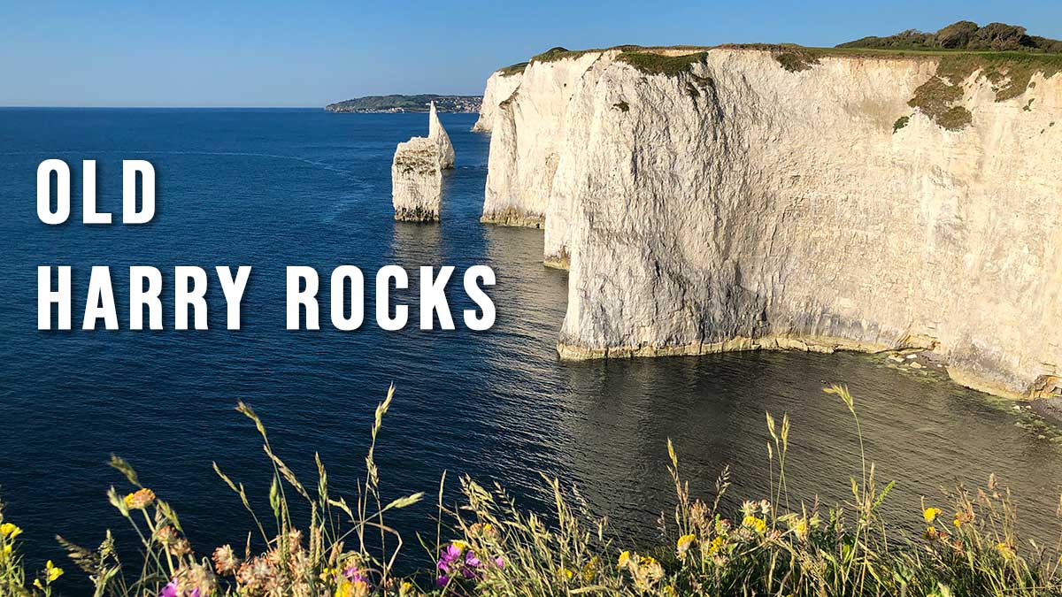
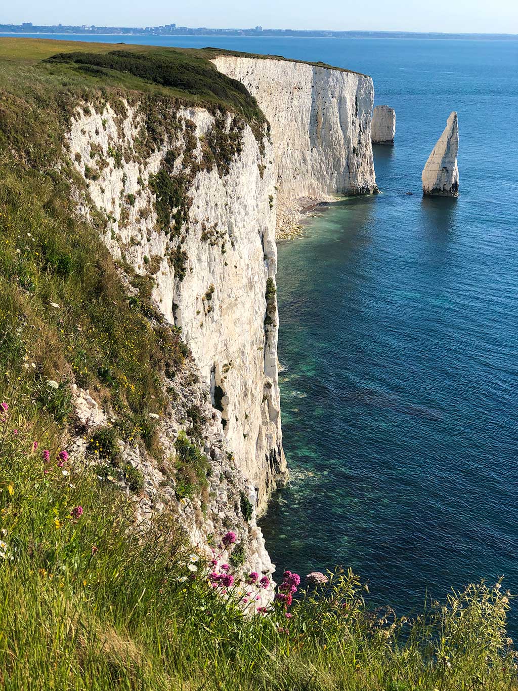
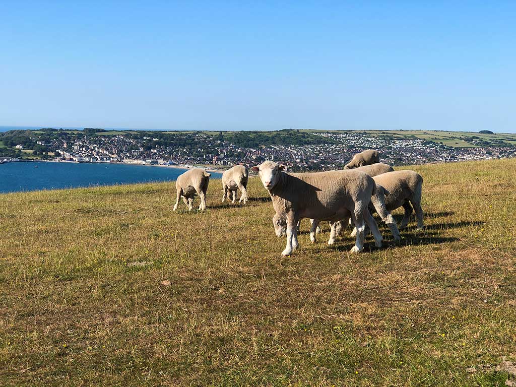
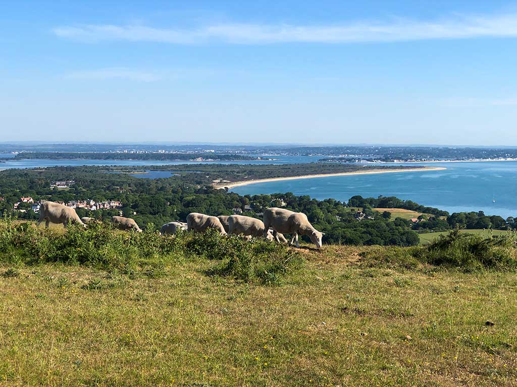
The Studland to Old Harry Rocks walk is an easy circular walk starting at Studland village and following the chalky coastal cliffs along to Old Harry Rocks and then on to Ballard Point. The walk offers great views of Studland Bay and its sandy beaches backed by dunes. The last half of the walk takes you up onto Ballard Down and the Purbeck Way. From here you can see the town of Swanage to the south and Poole Harbour and Brownsea Island to the north.
Distance: 4 miles (circular)
Difficulty: easy
Estimated time: 1 hour 30 minutes
Total ascent 965ft, Highest point 446ft
Date of walk: June 2020
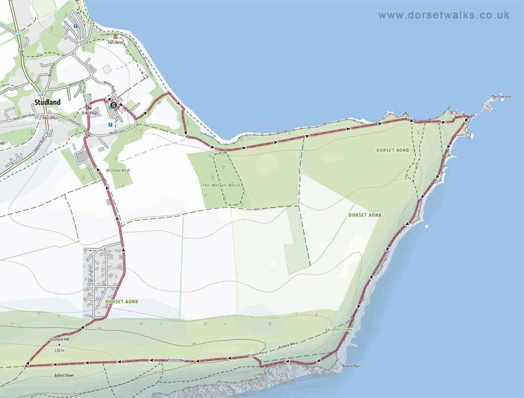
Base map © OpenStreetMap created in Outdooractive App
Route Map and GPS Navigation
Link to Old Harry Rocks GPS route map
https://www.outdooractive.com/
https://www.alltrails.com/
https://explore.osmaps.com/
https://www.google.com/maps/
Route Description and Photos
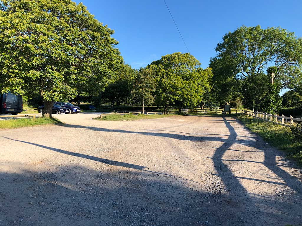
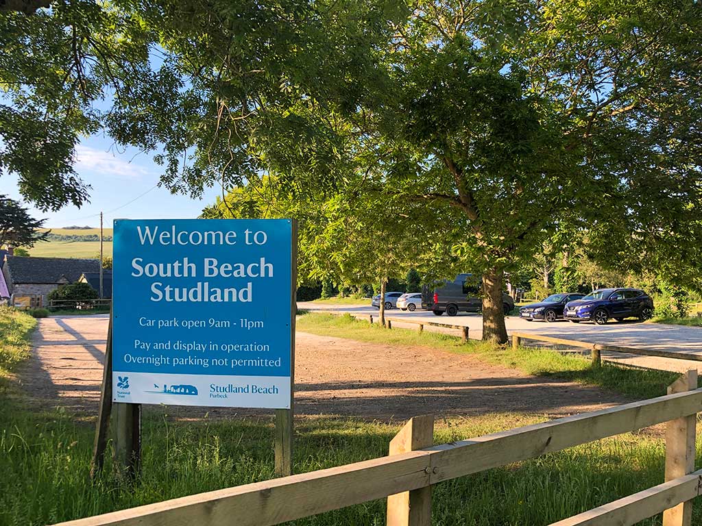
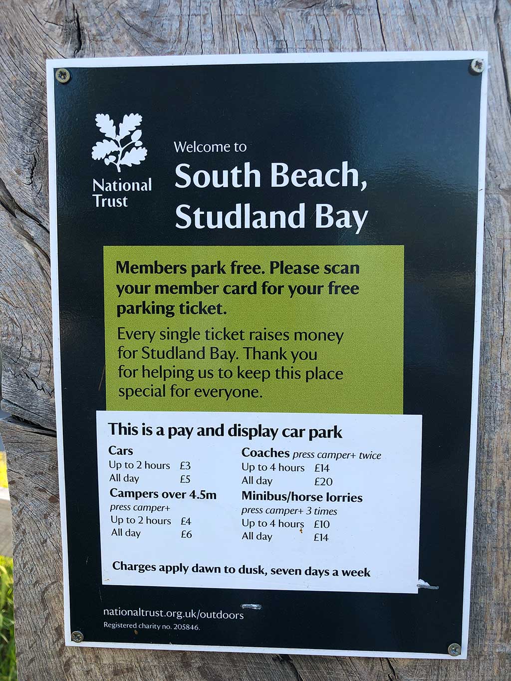
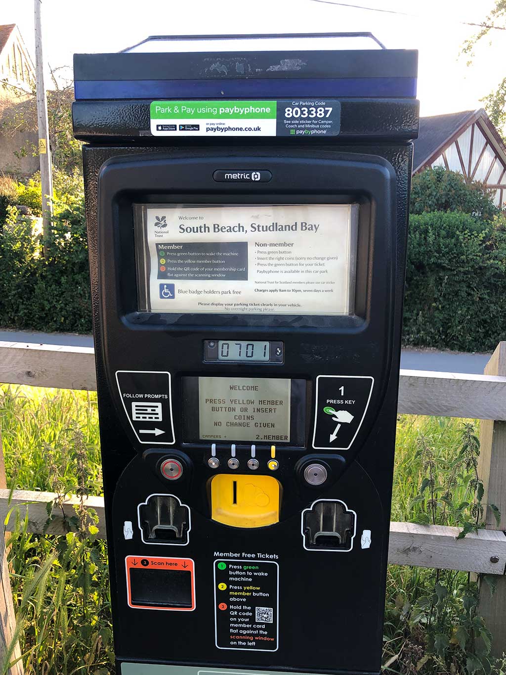
The walk to Old Harry Rocks is mainly on land owned by the National Trust but access is free for everyone. The car park in Studland village is also owned by the National Trust and free for NT members. Parking rates for non-members is £3 for up to 2 hours (usually sufficient for the walk) or £5 all day. (prices subject to change)
For a detailed route description and map see the web page https://www.nationaltrust.org.uk/studland-bay/trails/old-harry-rocks-walk
It’s probably a good idea to save the map to your phone before starting out.
The starting point for the walk is Studland village and the only place to park is at the National Trust Studland South Beach car park BH19 3AU (Google map) (w3w)
The photos of the walk shown below were taken on 02 June 2020.
June 2020
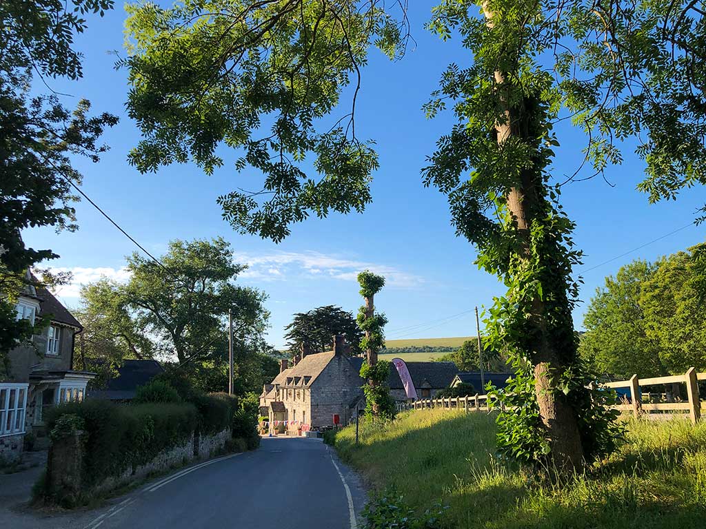
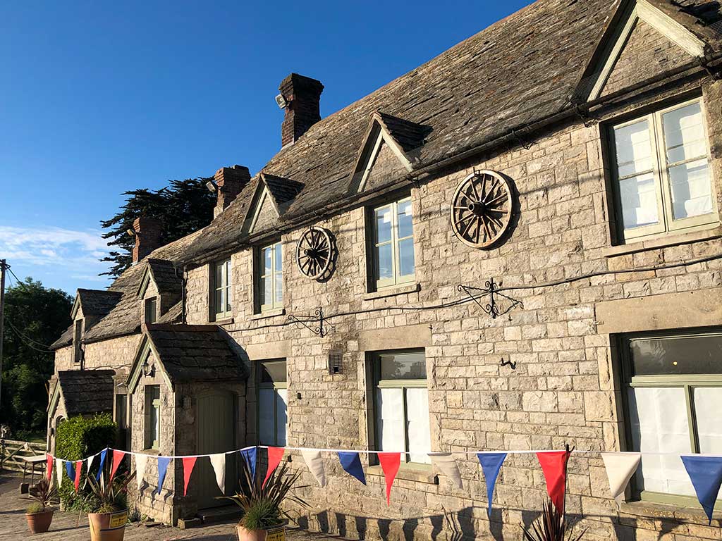
The Bankes Armes pub in Studland village is highly recommended and a great place for a pub lunch after the walk. https://www.bankesarms.com Opposite the pub is a large beer garden offering superb views over Studland Bay. The pub is also home to the Isle of Purbeck Brewery https://www.isleofpurbeckbrewery.com
Walk down to the bottom of the hill – you’ll pass the entrance path to South Beach on your left. Carry straight on to the corner and just after the public toilets take the track on the left signposted to Old Harry Rocks. (w3w)
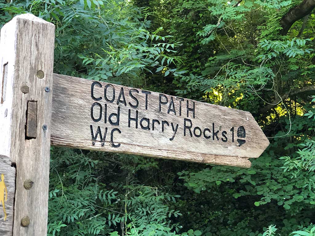
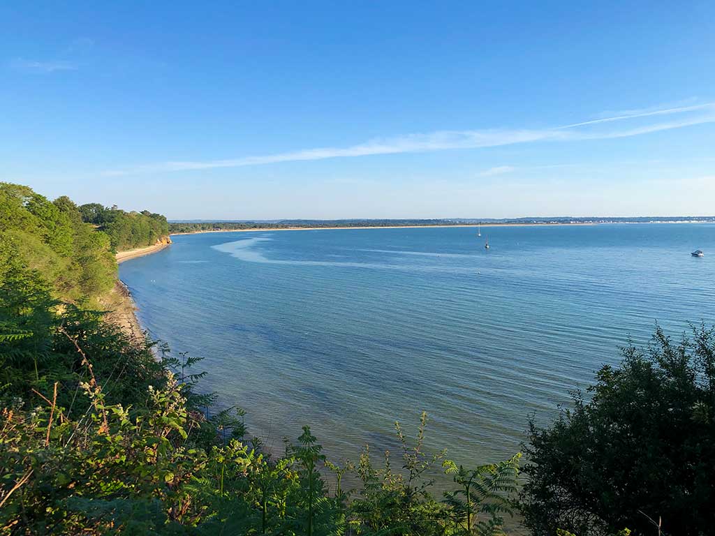
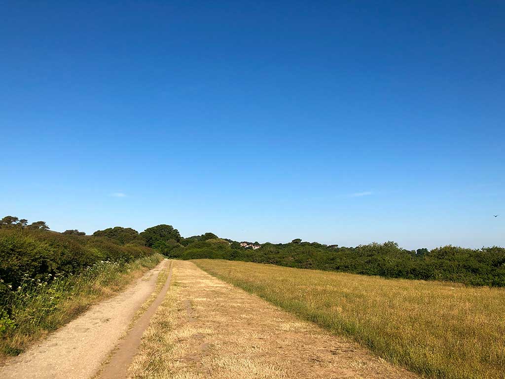
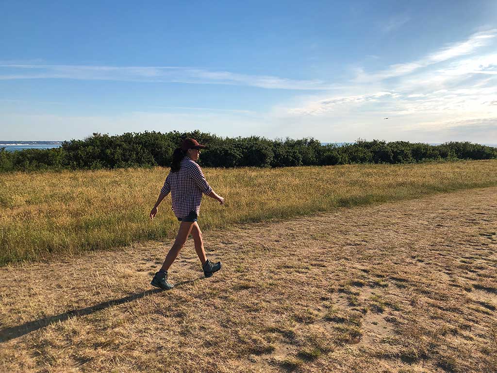

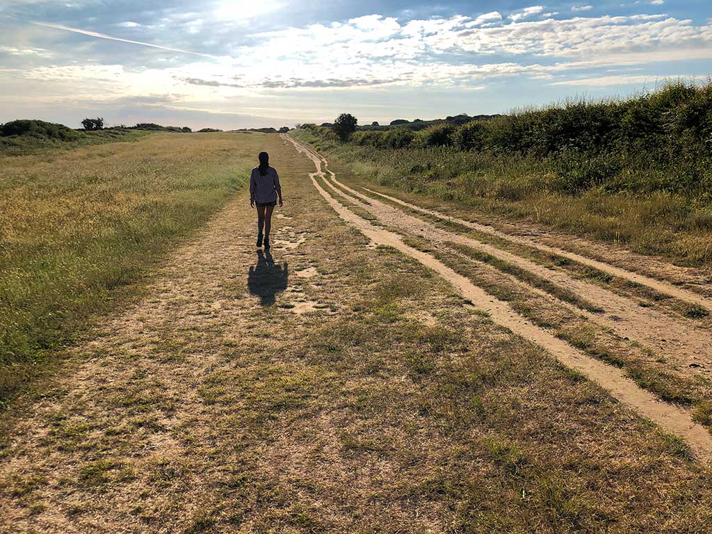
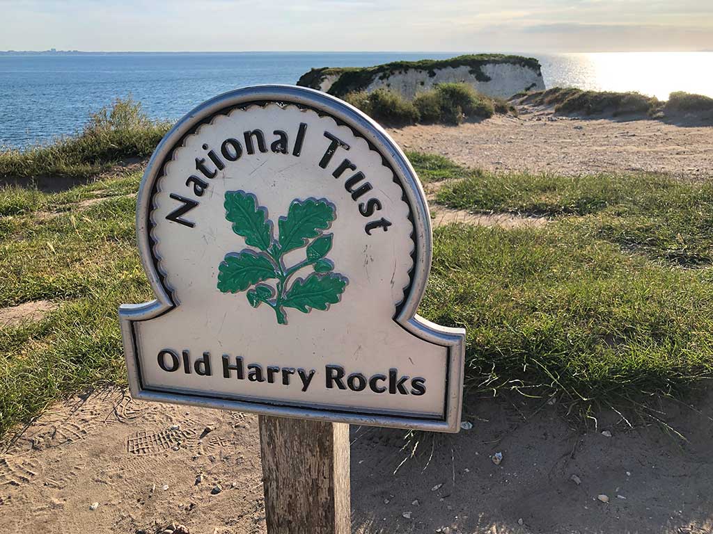
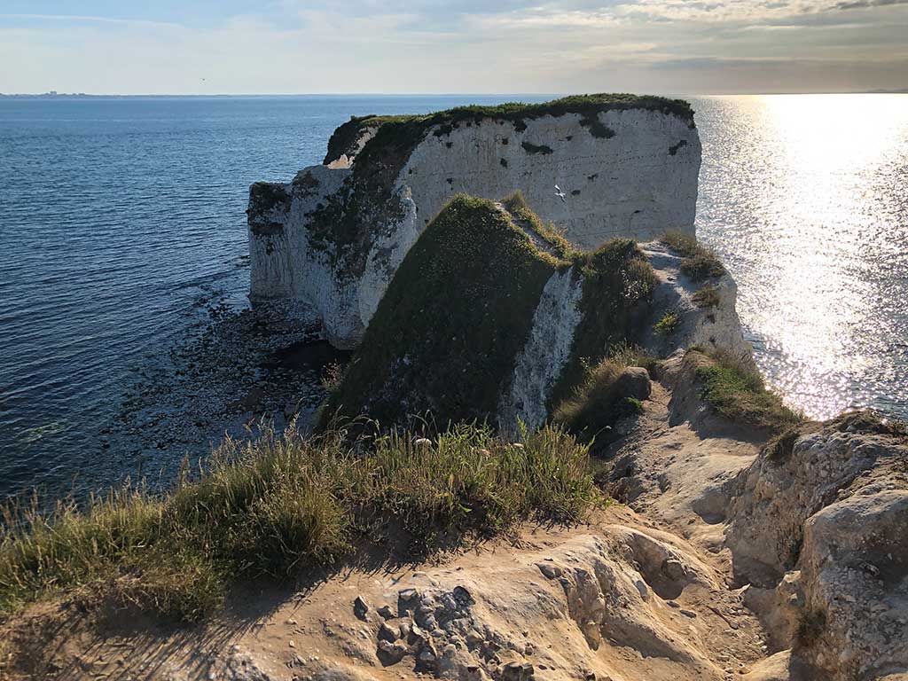
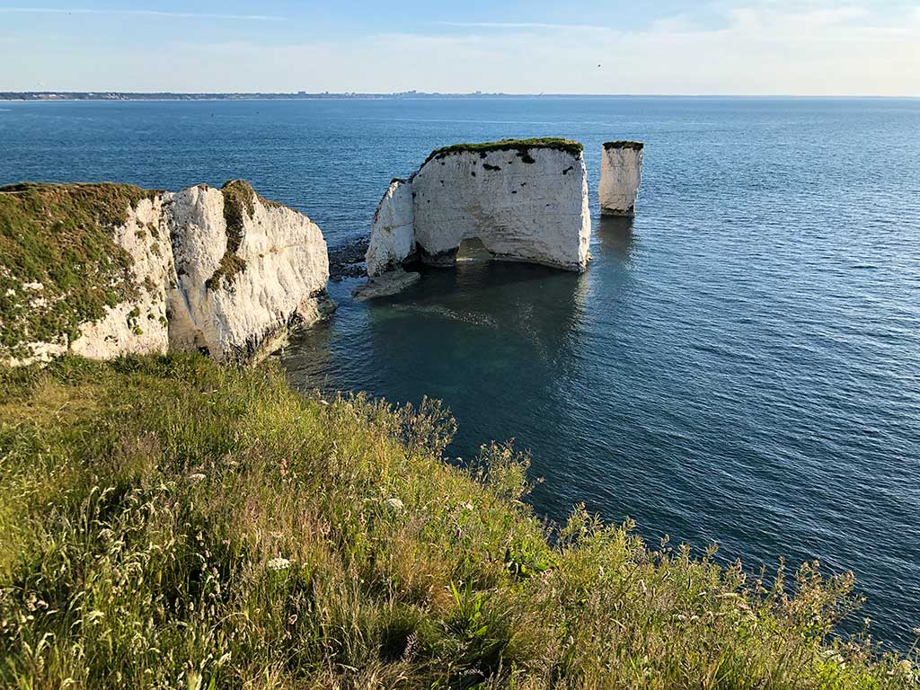
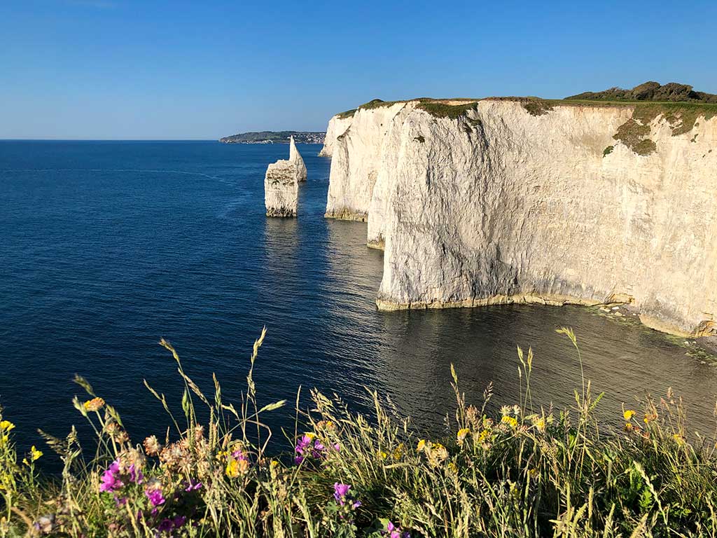
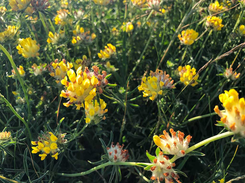
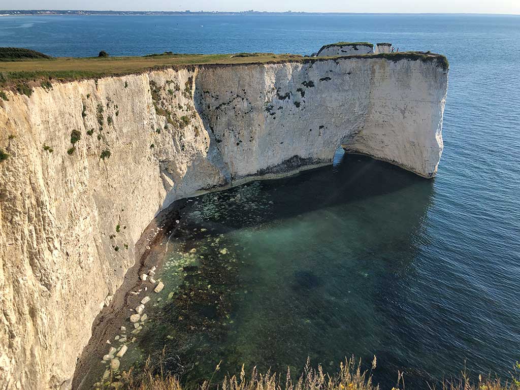
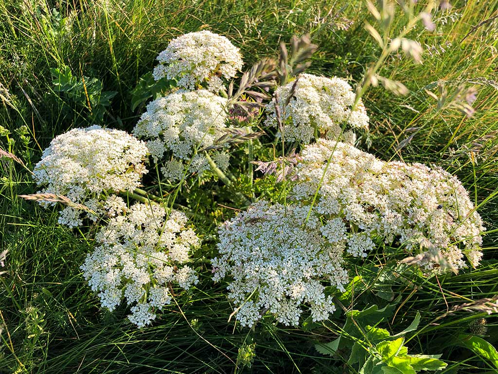
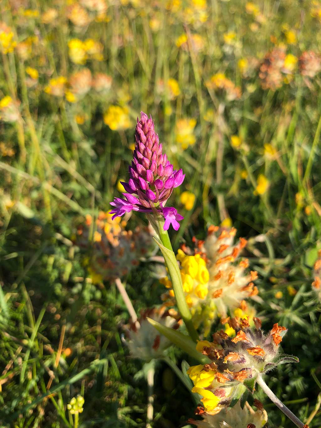
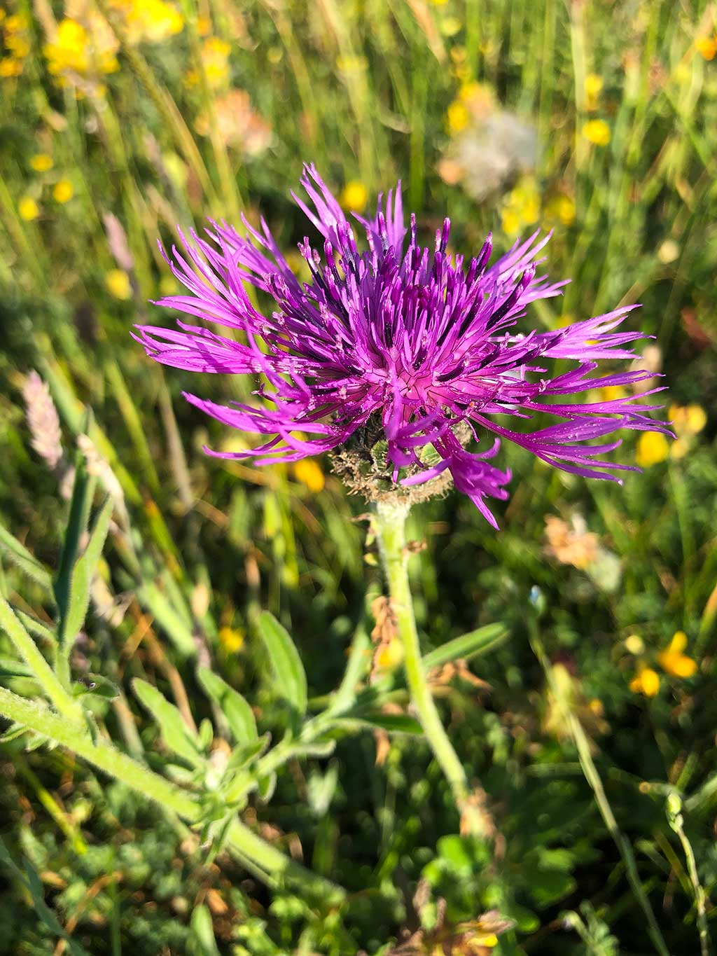
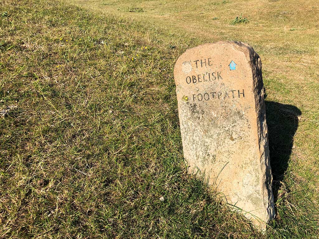
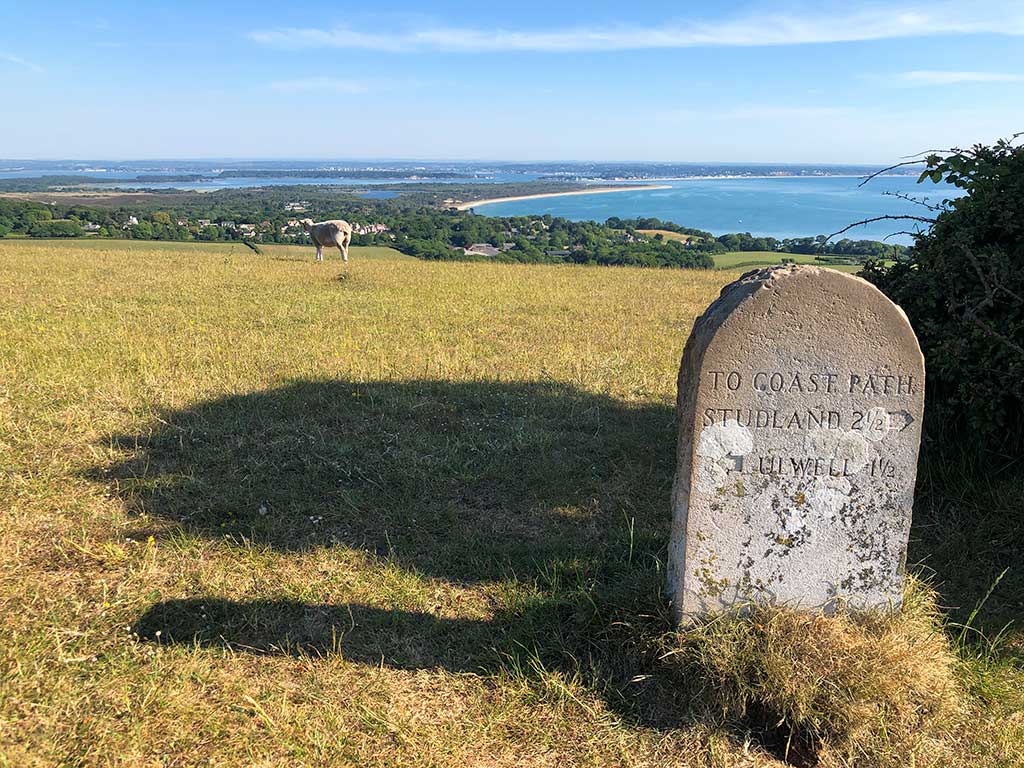
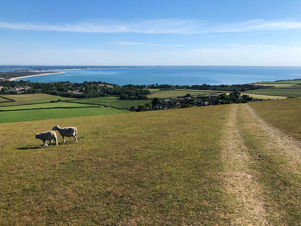
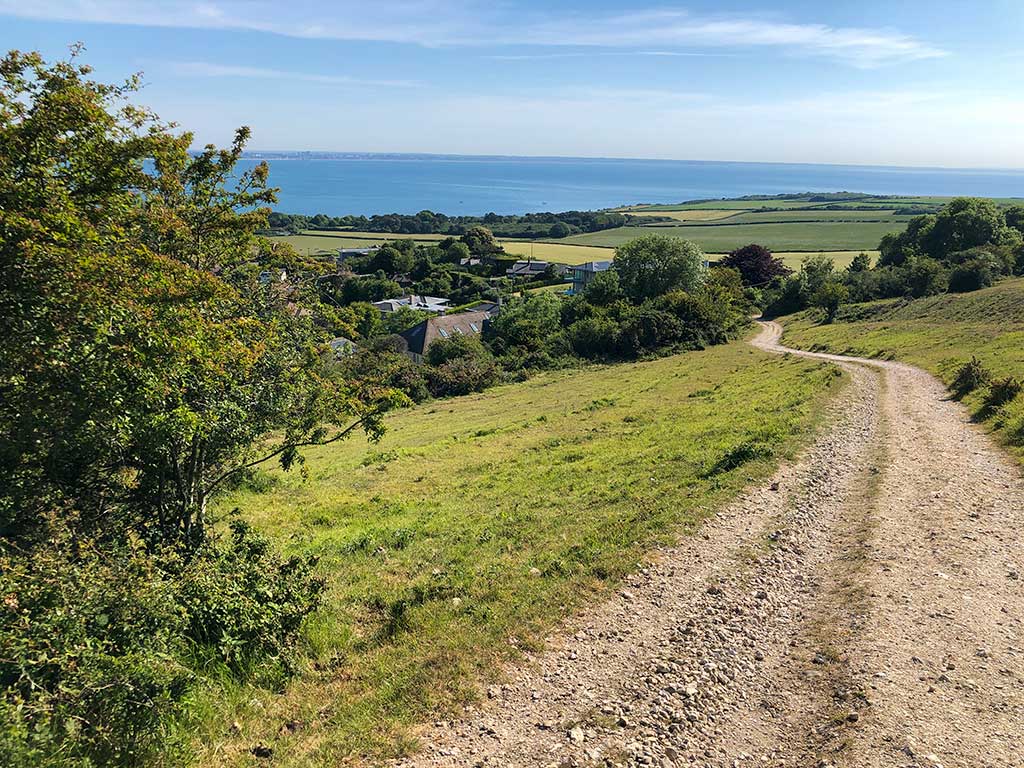
Continue to follow the path along the coast heading south west. You’ll walk through fields of grassland which has been carefully managed by the National Trust to conserve wild flowers. You can often see orchids as well.

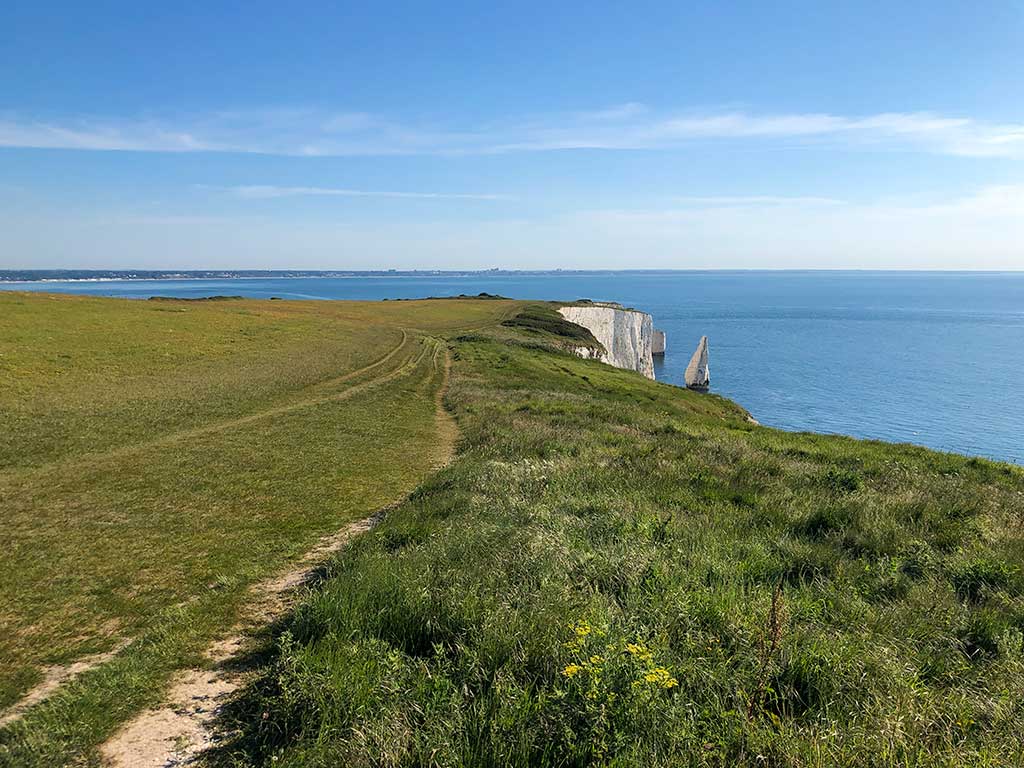
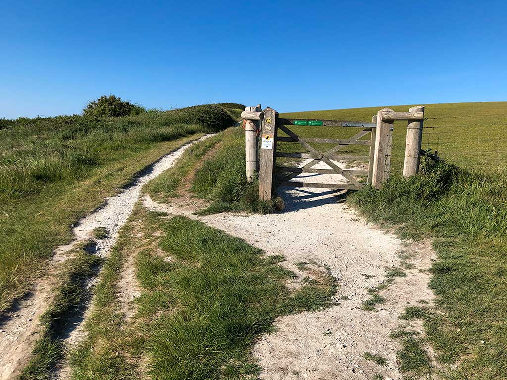
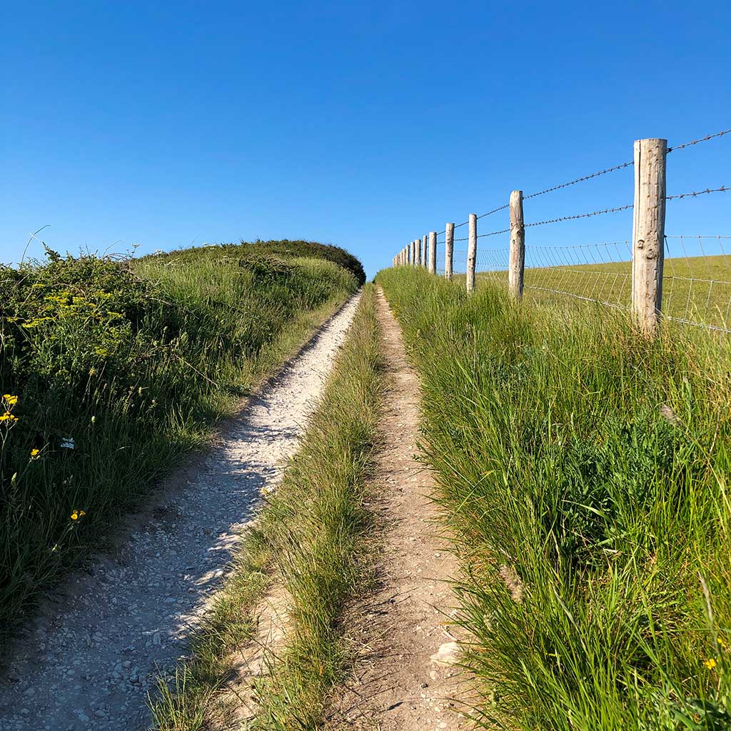
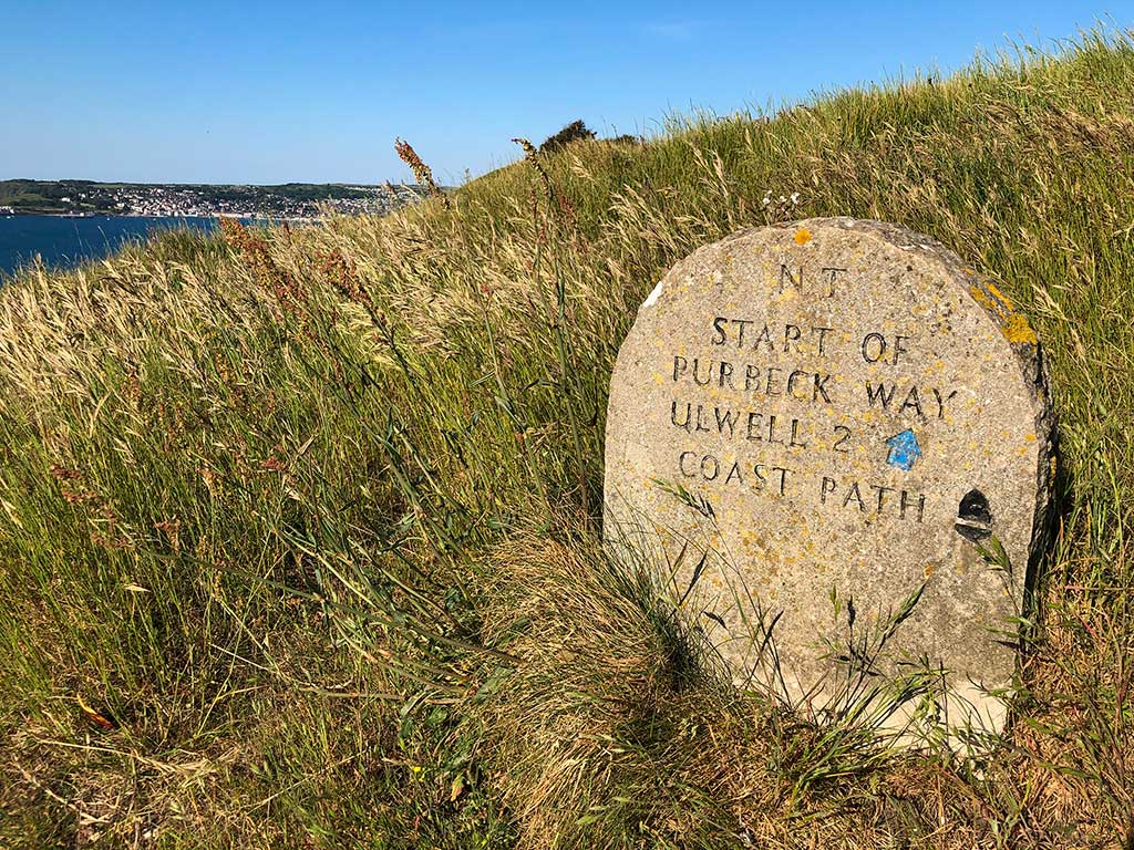
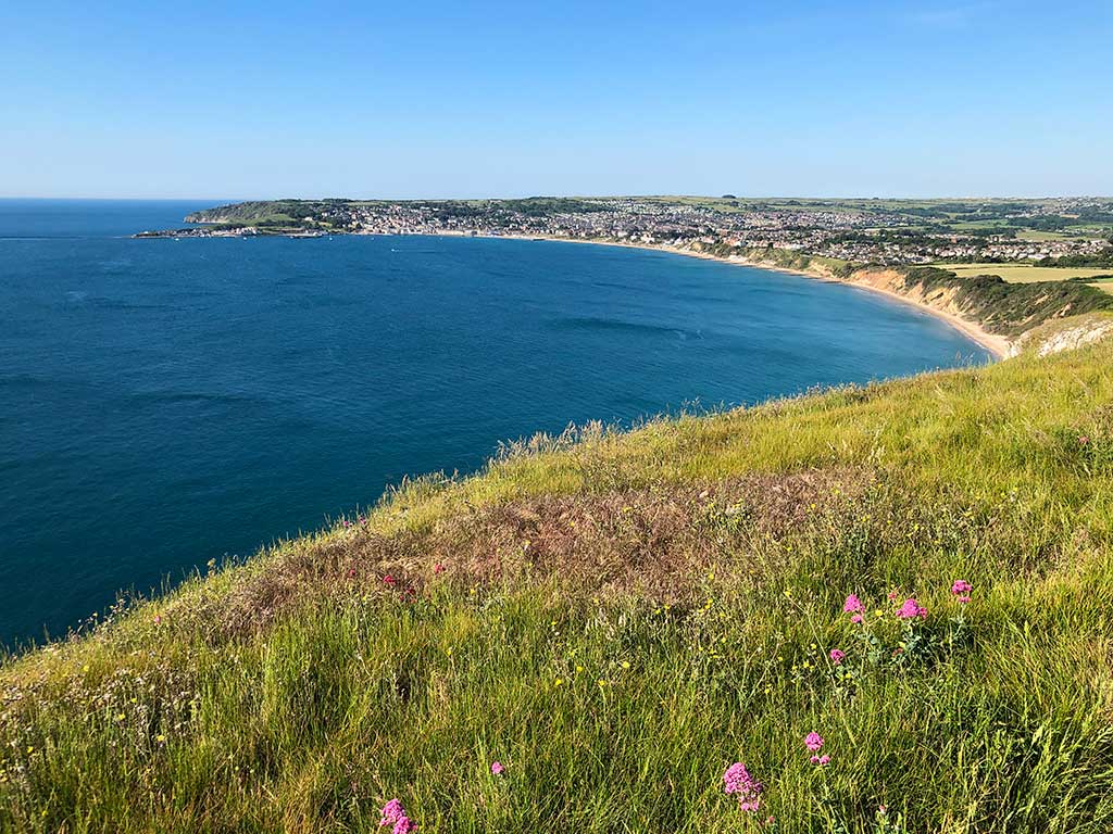
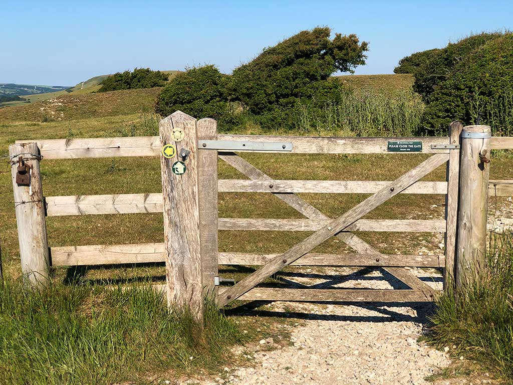
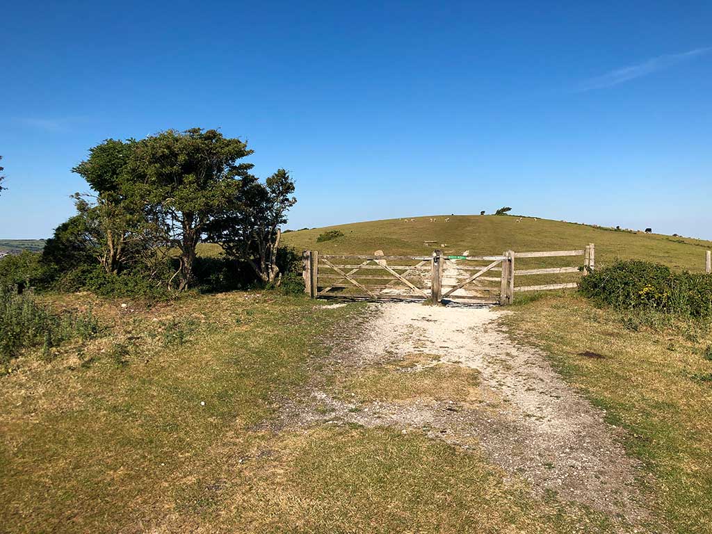
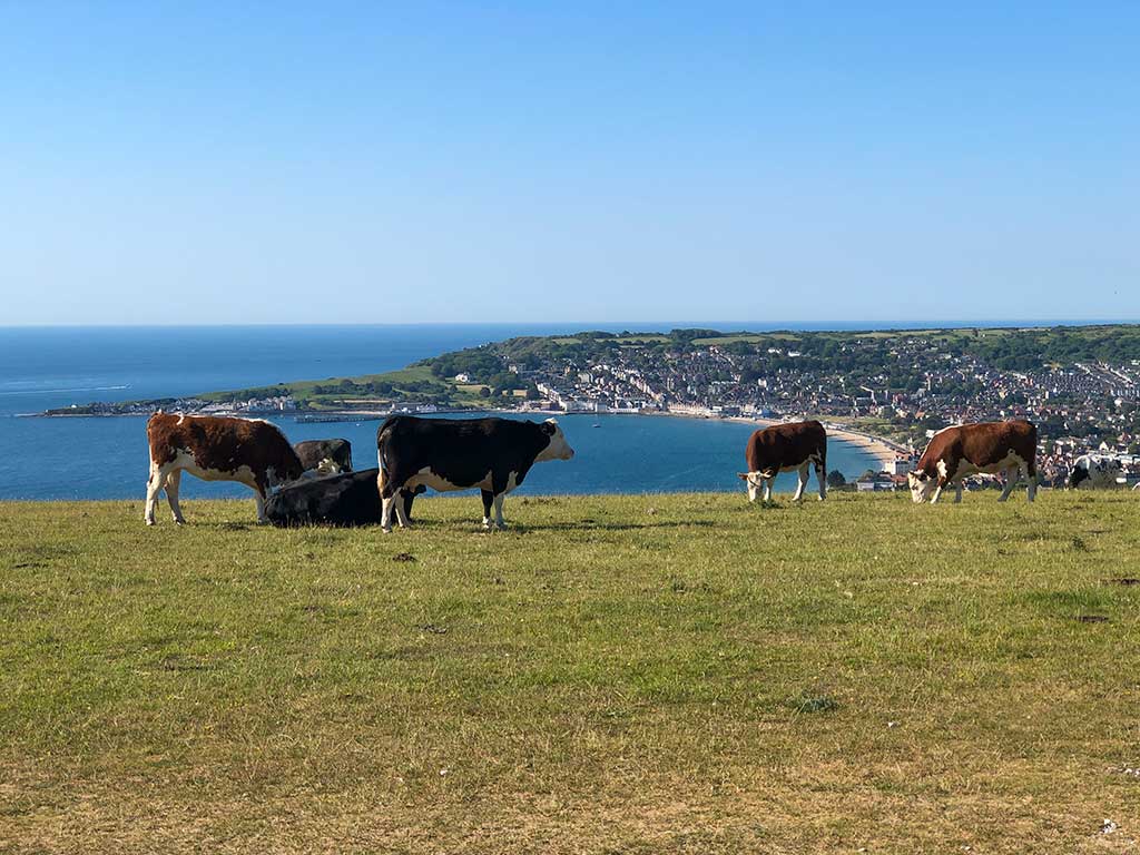
The fields beyond the gate frequently have livestock grazing so if you have a dog make sure it’s put on a short lead. Sheep, cows and sometimes bulls are in the field. I’ve done this walk many times before and never had any problems with the animals but I have to admit I tend to walk a bit quicker when there are bulls about and keep a nice safe distance between us.
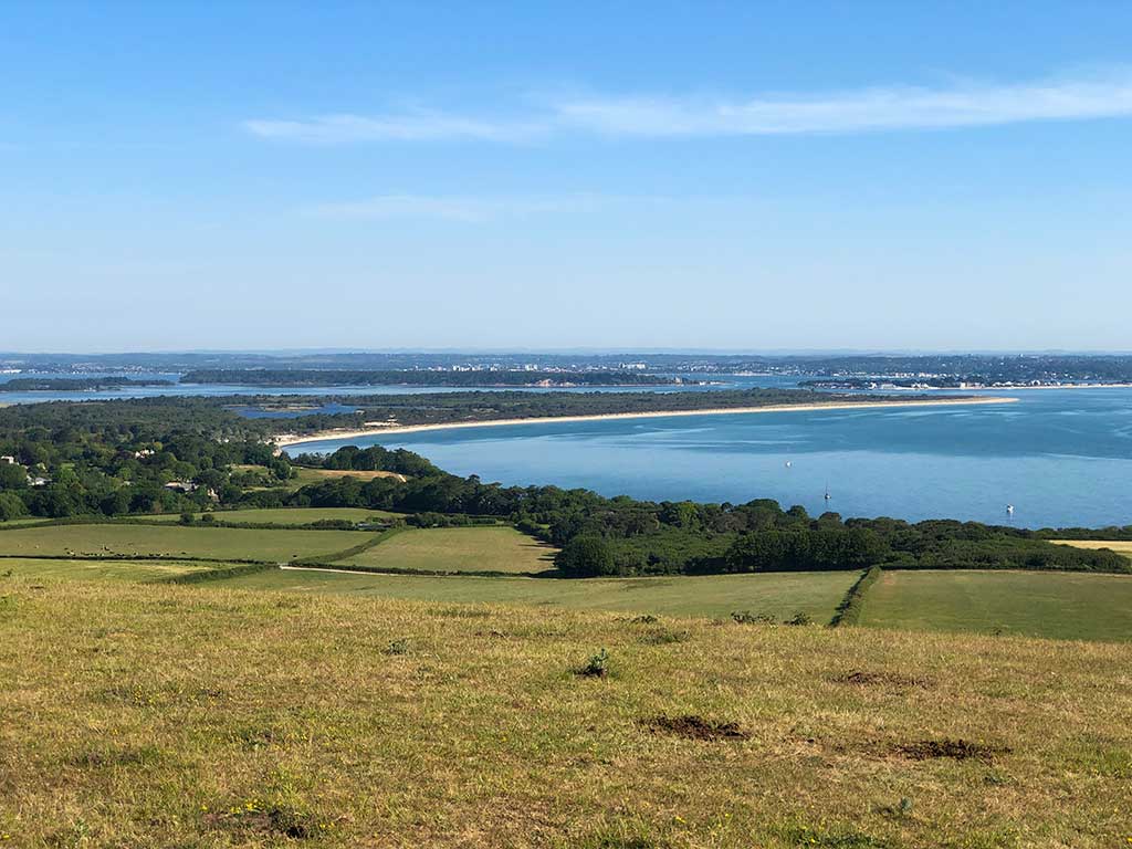
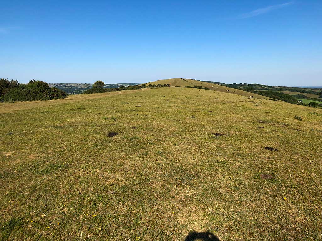
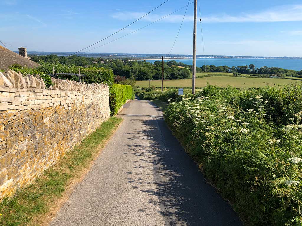
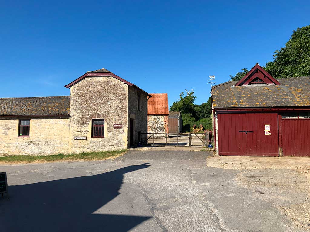
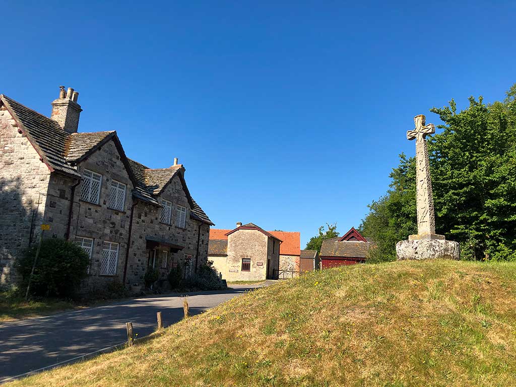
At the end of the lane you’ll see Manor Farm Tea Rooms on the corner. (w3w) (Google Maps). It’s never been open when I’ve been past it but I think it open at 10am during the summer and serves lunches, tea, coffee and cakes. You can also park your car here for £5 all day.
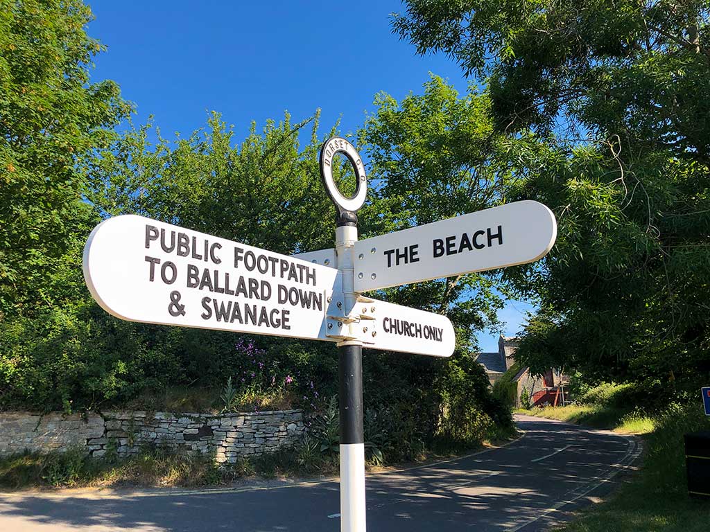
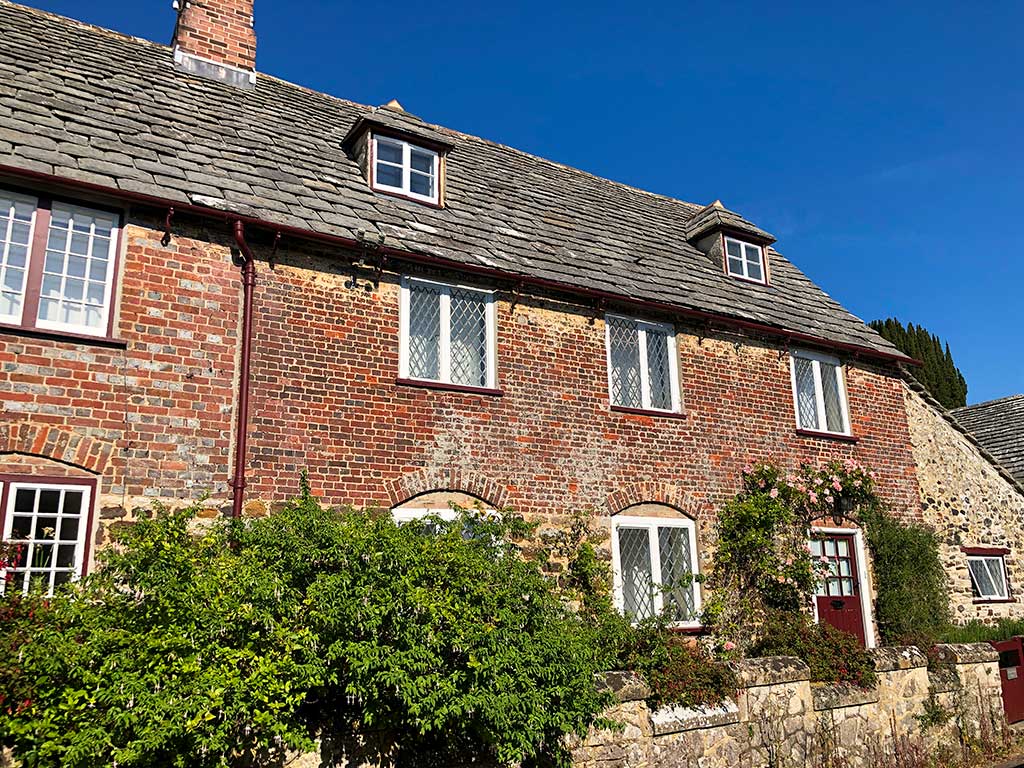
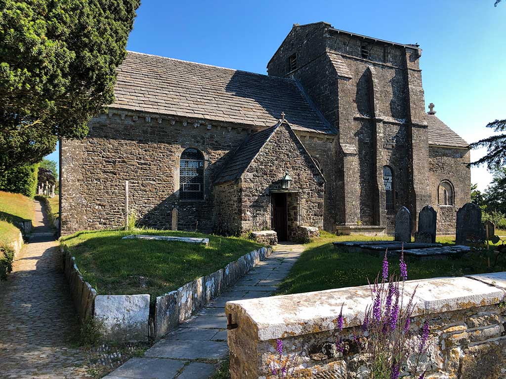
St. Nicholas’ Church. (w3w) (Google Maps) St. Nicholas’ Church is a beautifully preserved Norman church, easily one of the best in Dorset and looks pretty much the same as it did 1000 years ago. It was built on the site of an earlier Saxon building which was destroyed by the Vikings in the 9th century. It’s a living church with regular services and a popular venue for weddings. For more information and service times see https://studlandchurch.com
