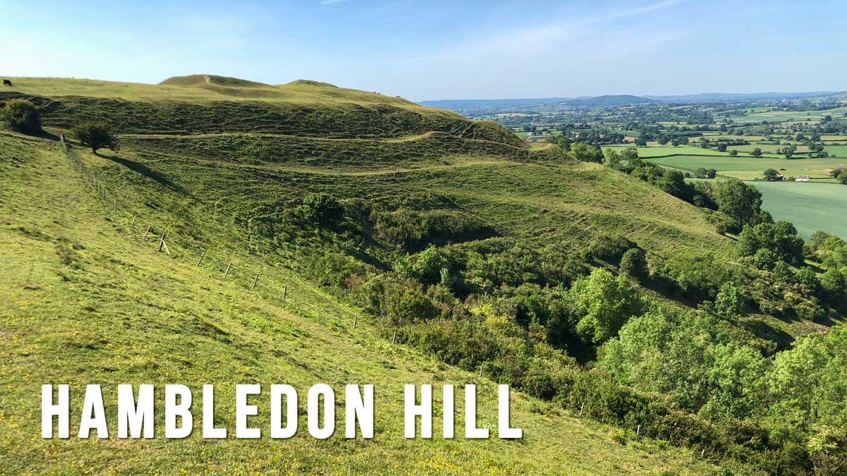
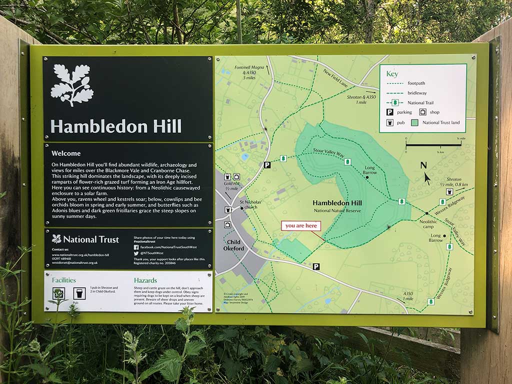
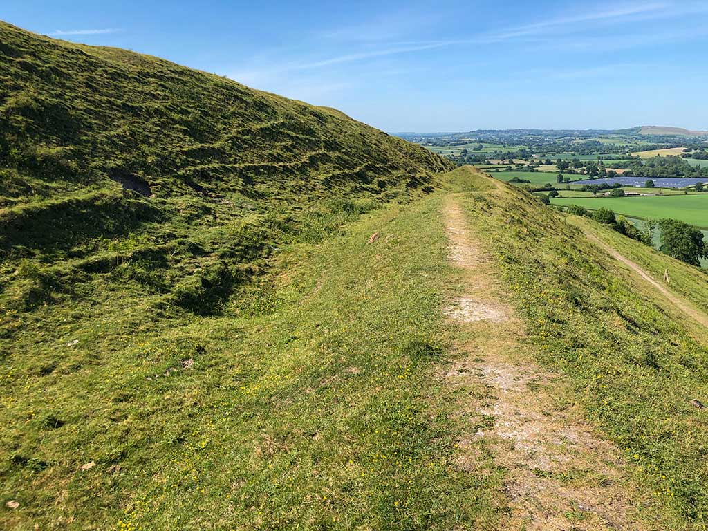
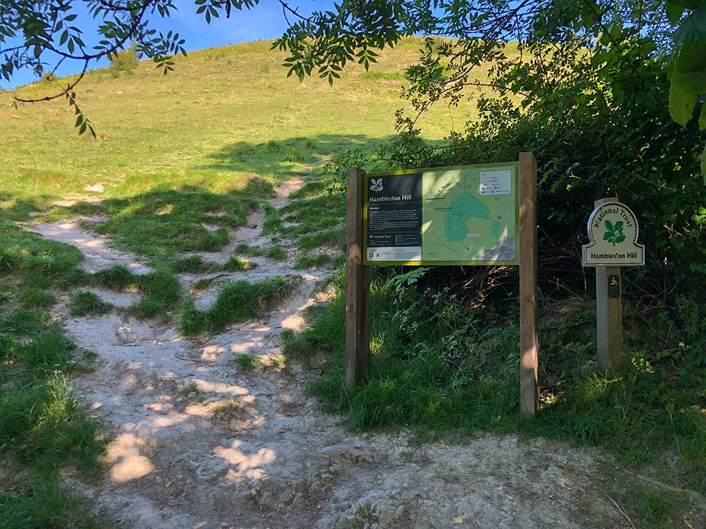
Hambledon Hill rises steeply to 190 metres above the Blackmore Vale and the river Stour below. It is located close to the village of Child Okeford, 6 miles north-west of Blandford Forum. Hambledon Hill is one of the best preserved and most notable Iron Age hill forts in Great Britain.
Distance: 2.7 miles (Circular walk)
Difficulty: moderate
Estimated time: 1 hour 45 minutes
Total ascent: 437ft, Max elevation 619ft
Walk date: June 2020
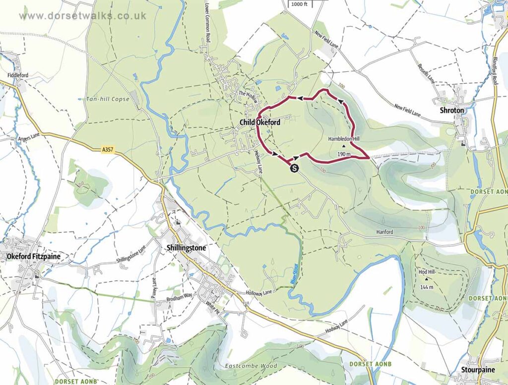
Base map © OpenStreetMap created in Outdooractive App
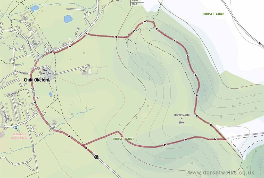
Base map © OpenStreetMap created in Outdooractive App
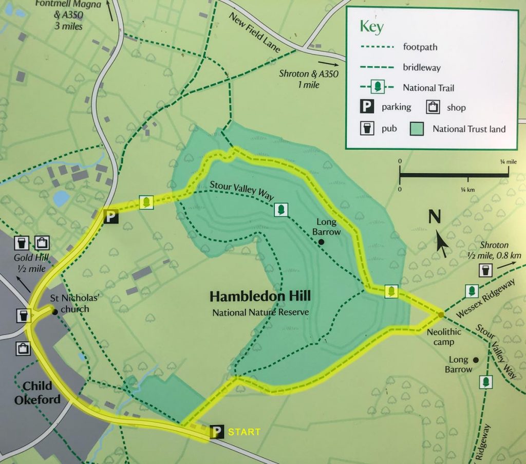
Route Map and GPS Navigation
https://www.outdooractive.com/
https://www.google.com/maps/
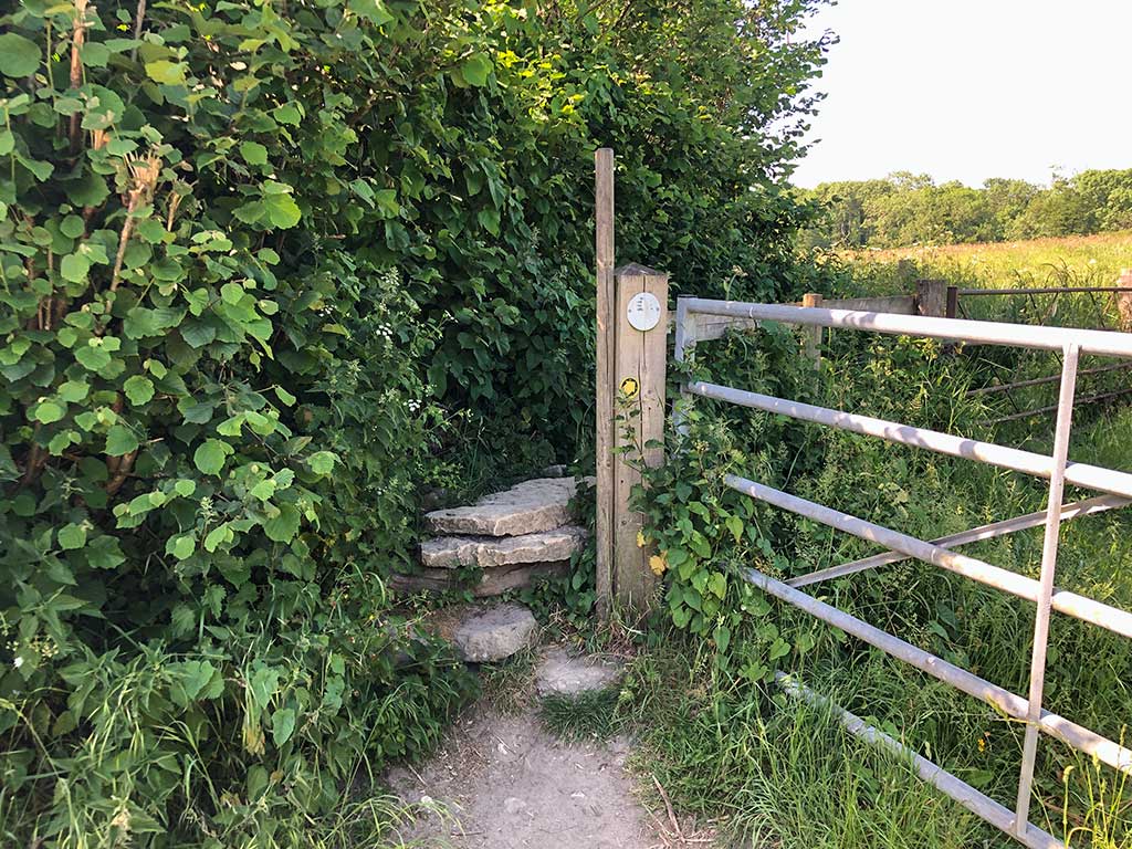
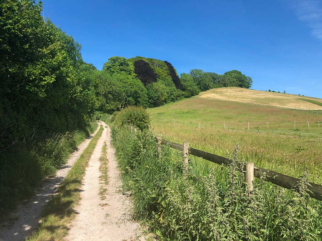
Route Description and Photos
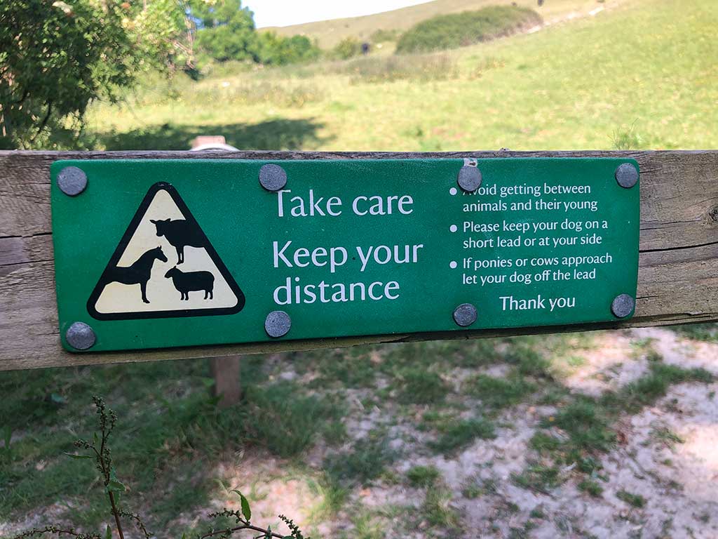
The land is owned and managed by the National Trust although there is no official car park nearby (see walk parking suggestions below). Information about Hambledon Hill including a map of the walk is shown on the National Trust webpage https://www.nationaltrust.org.uk/trails/walking-around-the-ramparts-at-hambledon-hil-
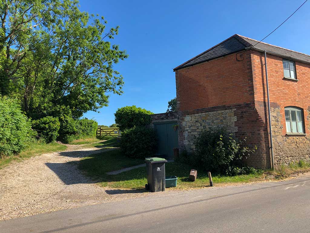
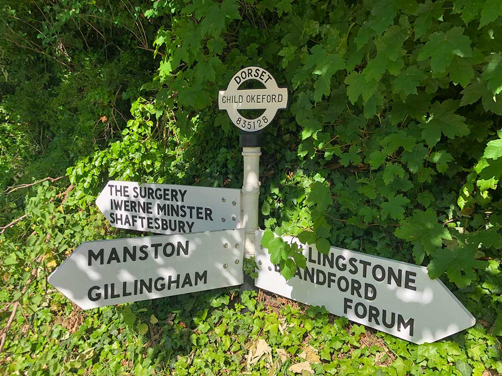
The starting point for the walk is a lay-by in Duck Street just to the east of Child Okeford (on the road connecting Child Okeford to the A350) (Google map) (w3w). The lay-by can only accommodate around 3 cars. Alternative parking can be found on the other side of Child Okeford village beside Shaftesbury Road (Google map) (w3w) or in the village itself although the village can get a bit congested at weekends and in the summer.


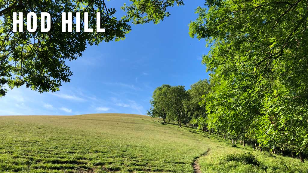
Walks nearby: Hod Hill