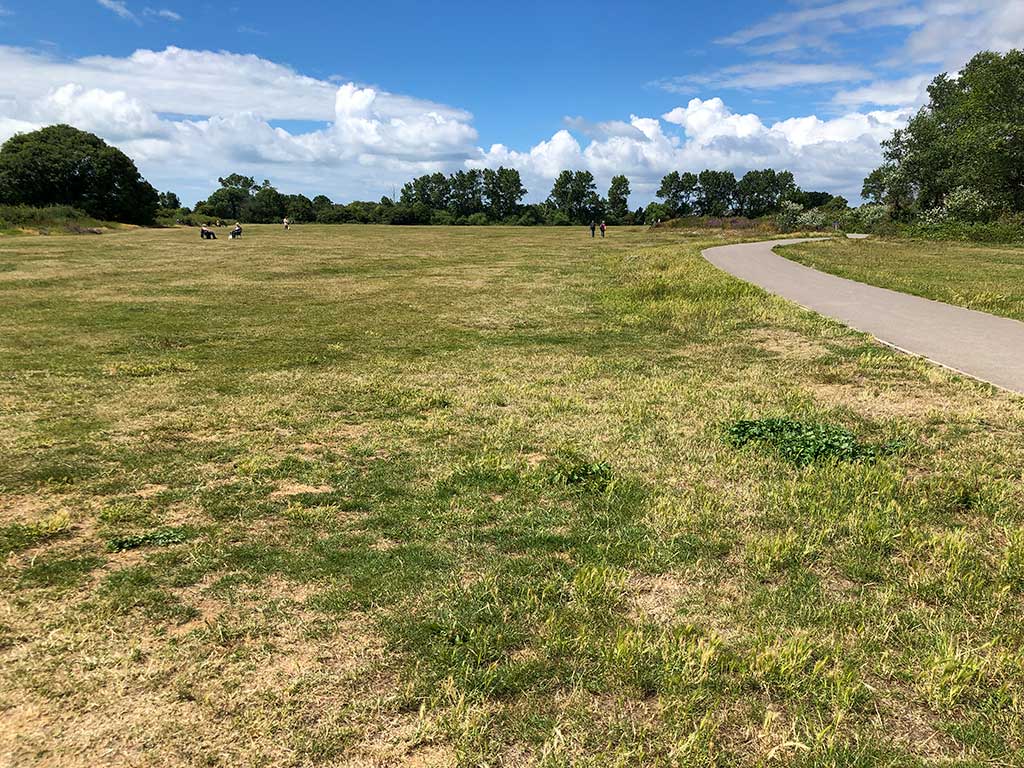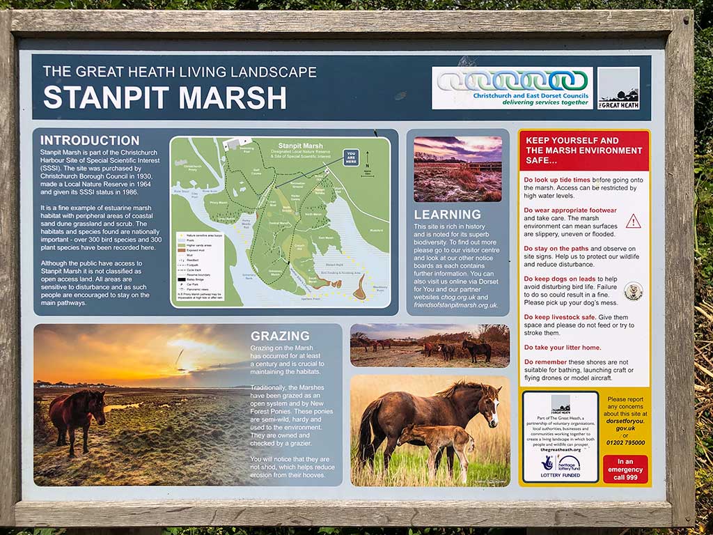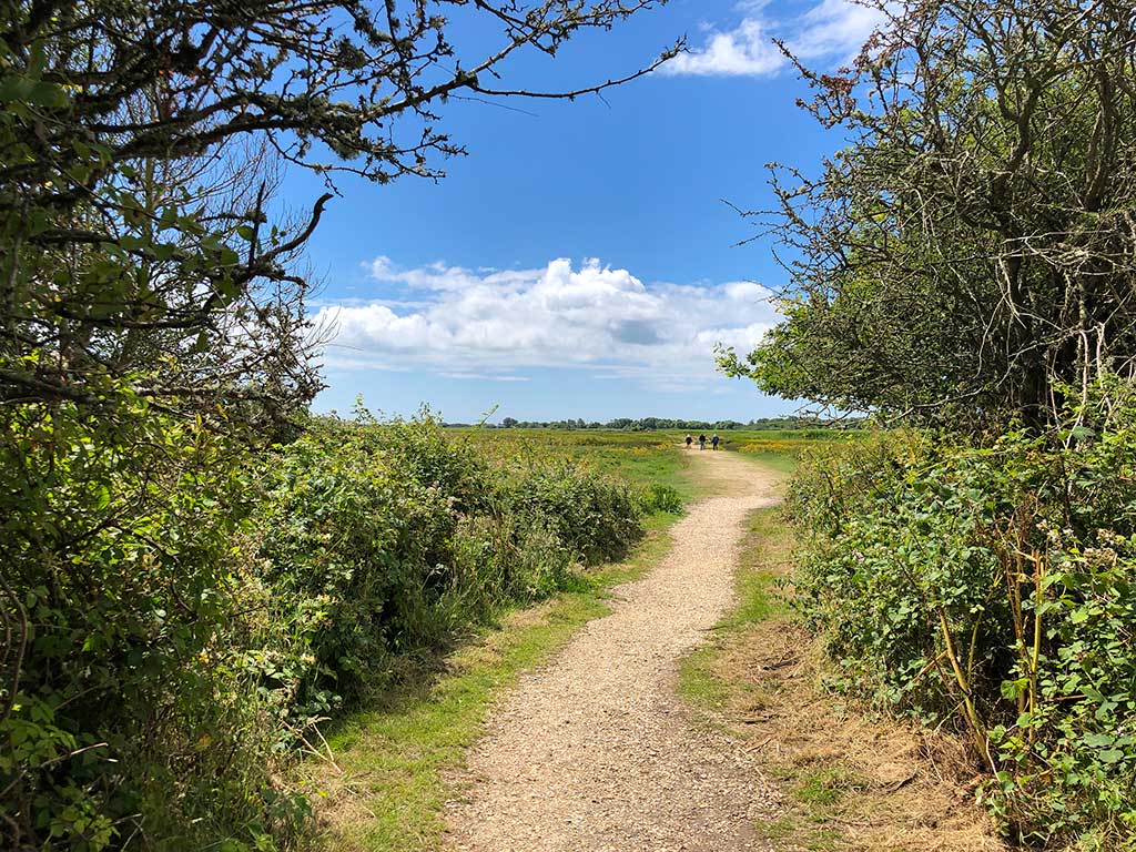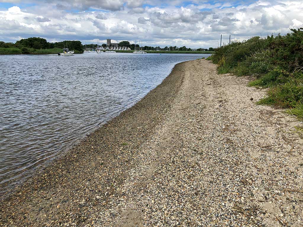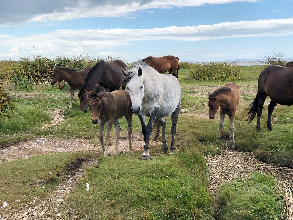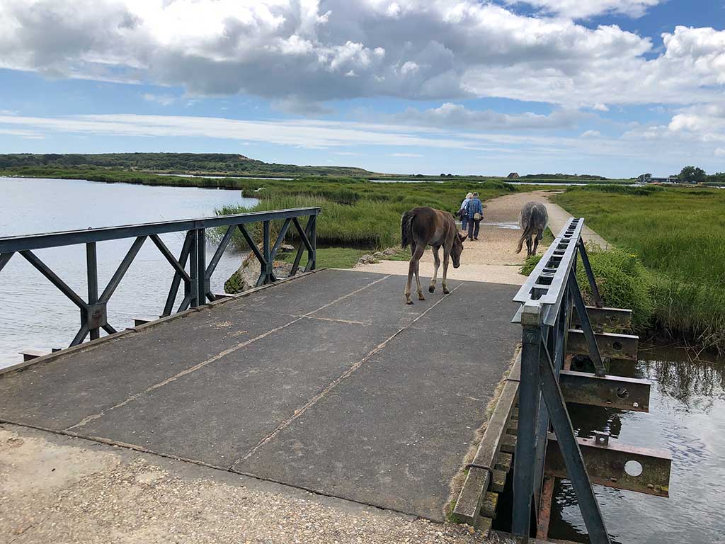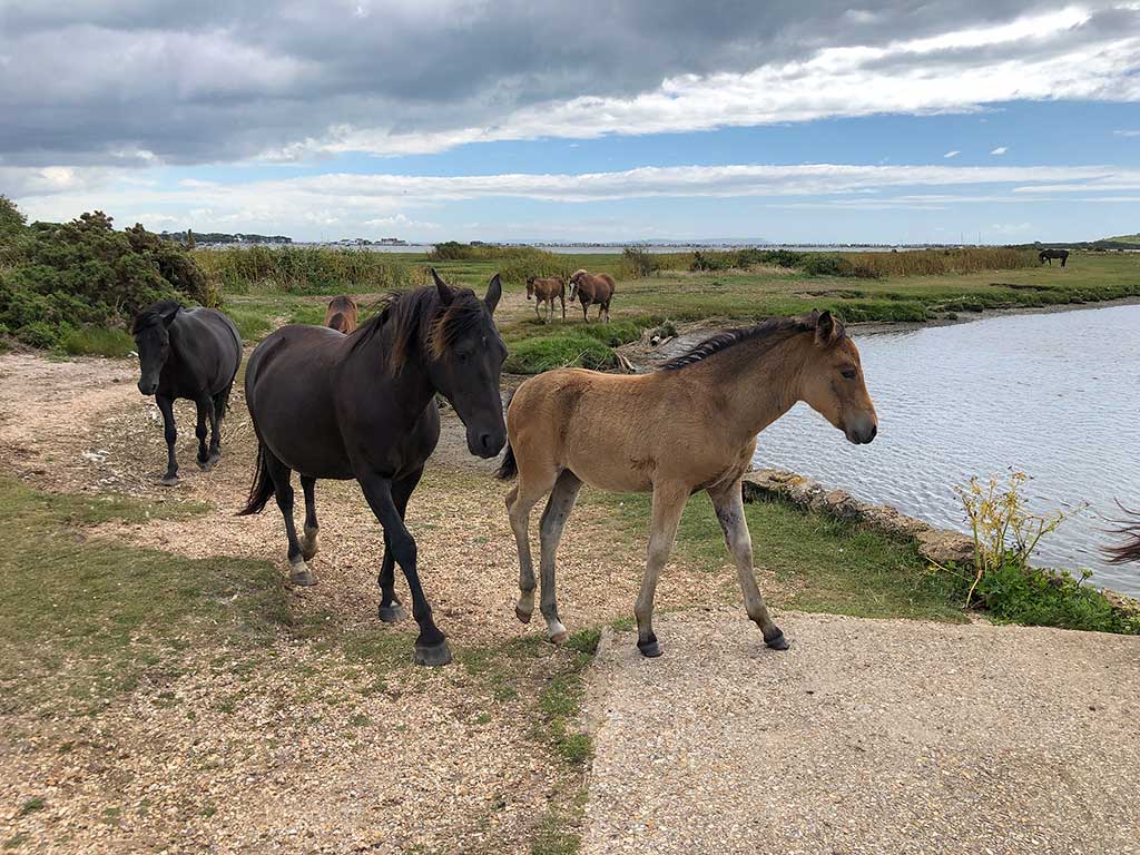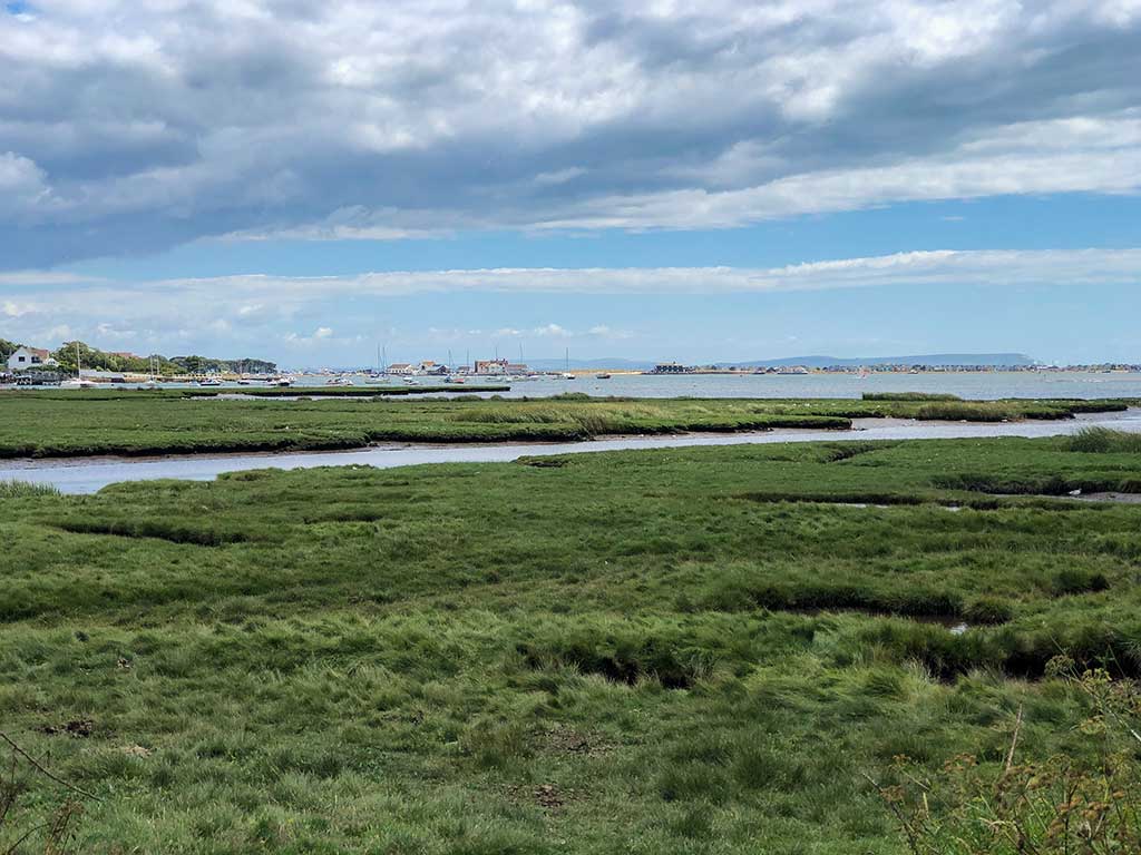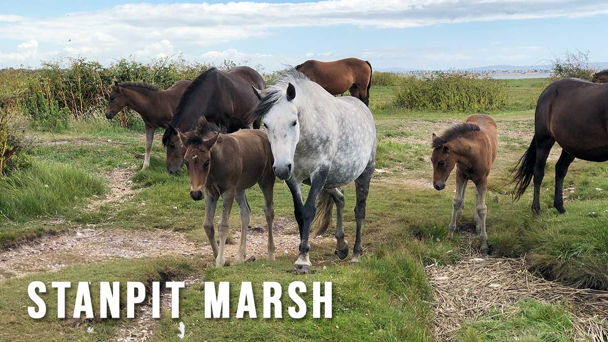
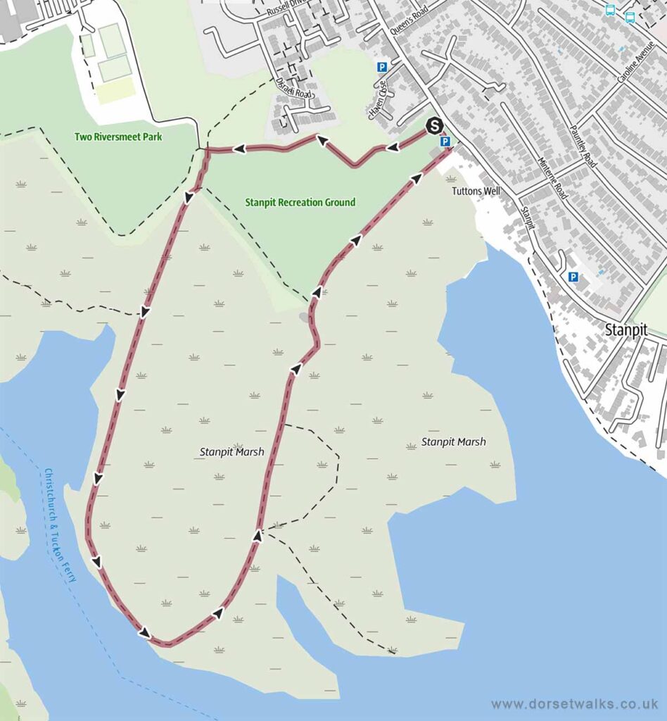
Stanpit Marsh is a local Nature Reserve and Site of Special Scientific Interest on the north side of Christchurch Harbour just below where the River Avon and River Stour meet. This walk takes you through salt marsh and freshwater marsh with reed beds absolutely teeming with wildflowers, butterflies and birds. The marsh is also home to semi-wild New Forest ponies that graze on the grassland.
Distance: 1.6 miles
Difficulty: easy,
Estimated time: 45 minutes
Total ascent 7ft, Highest point 13ft
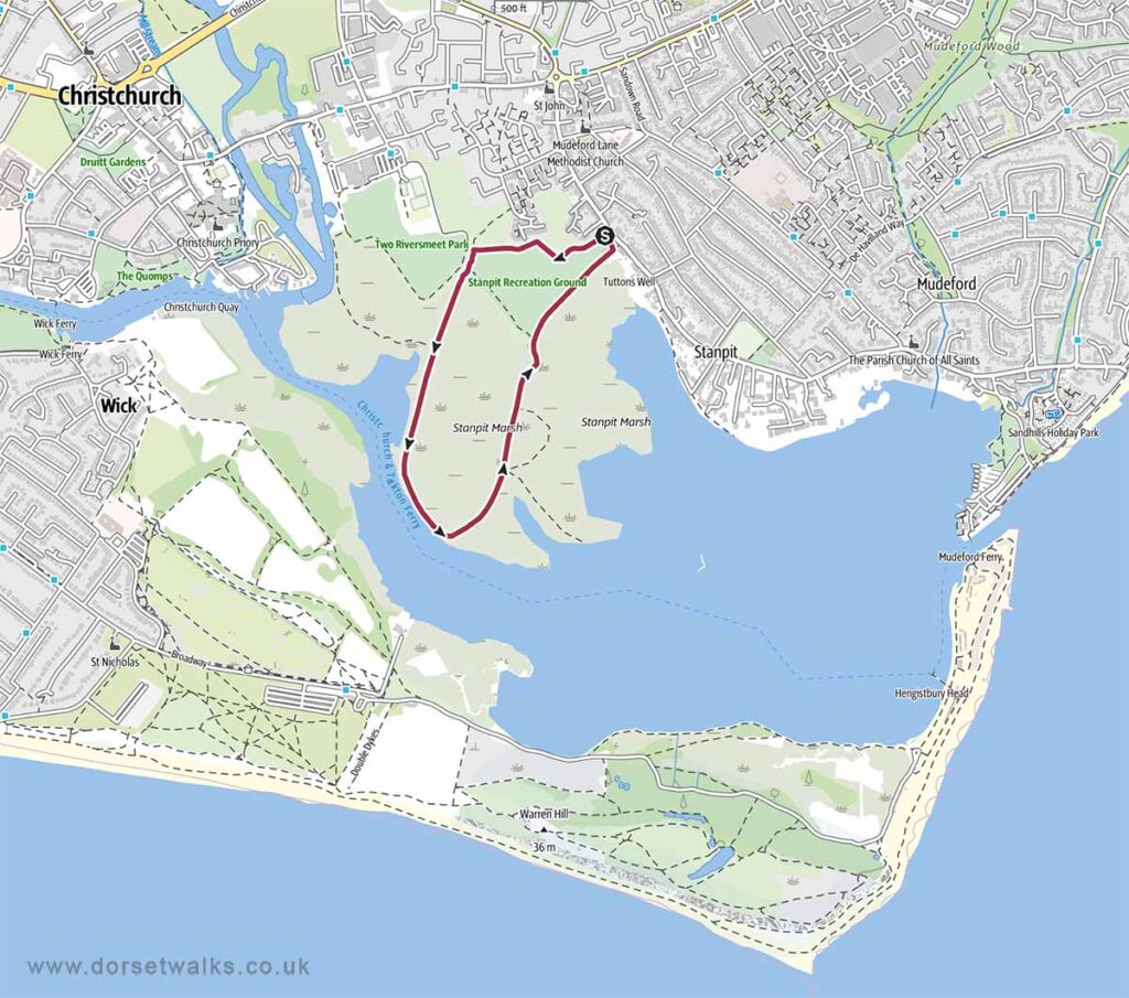
Base map © OpenStreetMap created in Outdooractive App
Base map © OpenStreetMap created in Outdooractive App
Route Map & GPS Navigation
https://www.outdooractive.com/ (external link)
https://www.google.com/maps/ (external link)
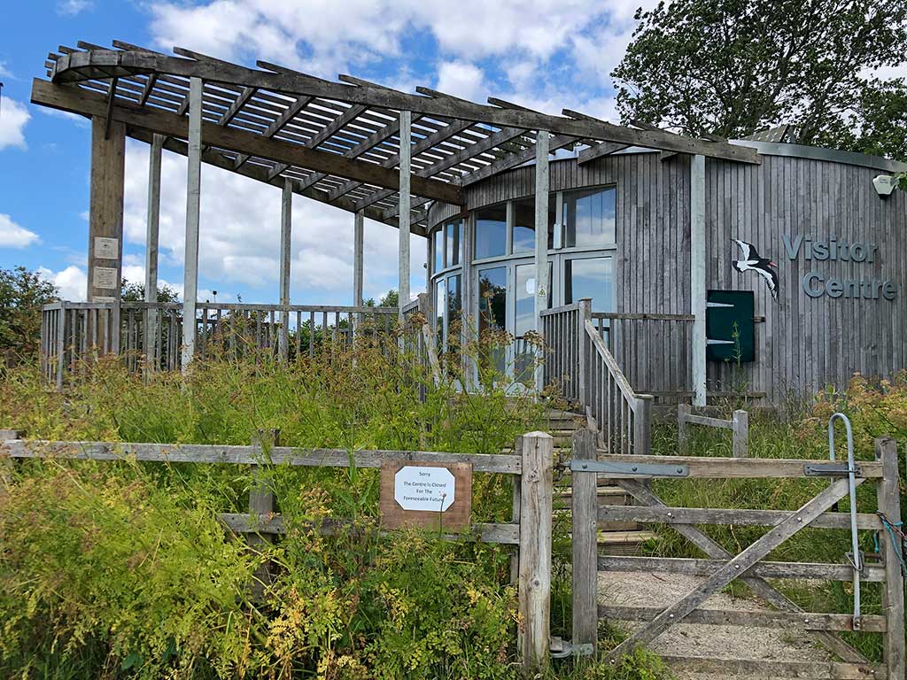
Route Description and Photos
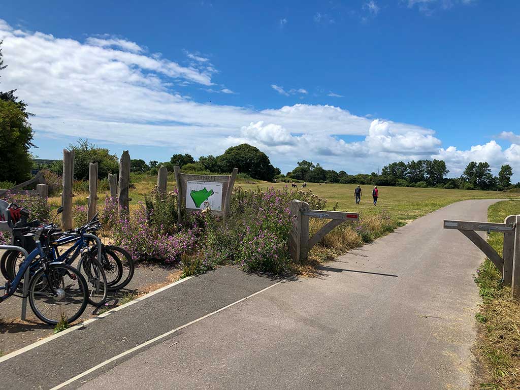
The starting point for this easy stroll is the car park just off Stanpit Road, Christchurch Postcode BH23 3ND (w3w) (Google Maps)
I’ve marked the route of the walk in yellow on the map below.