Swyre Head Walk

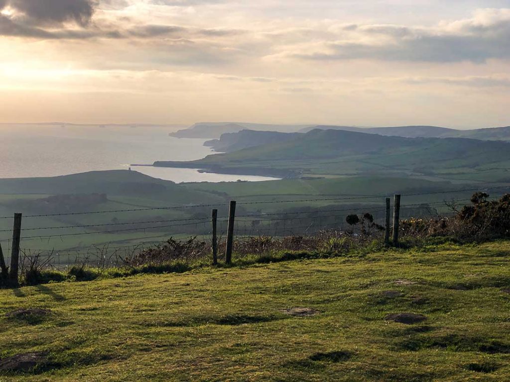
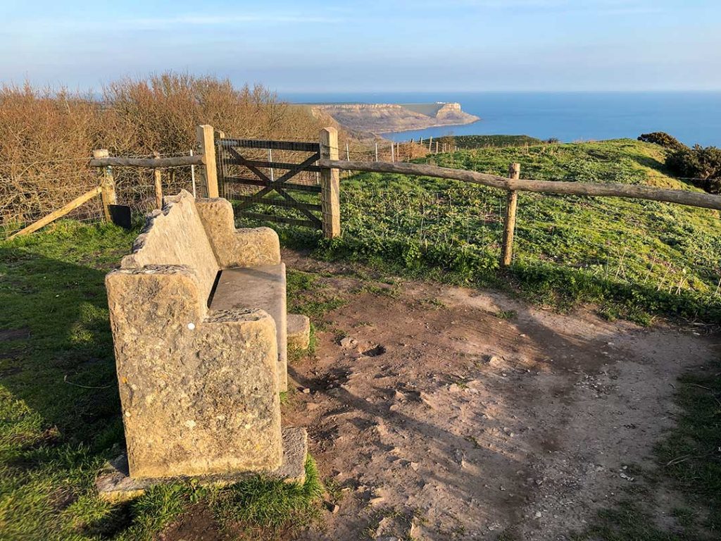
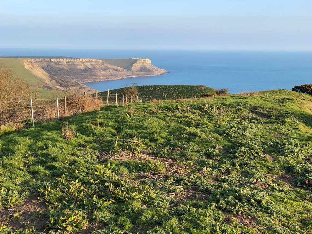
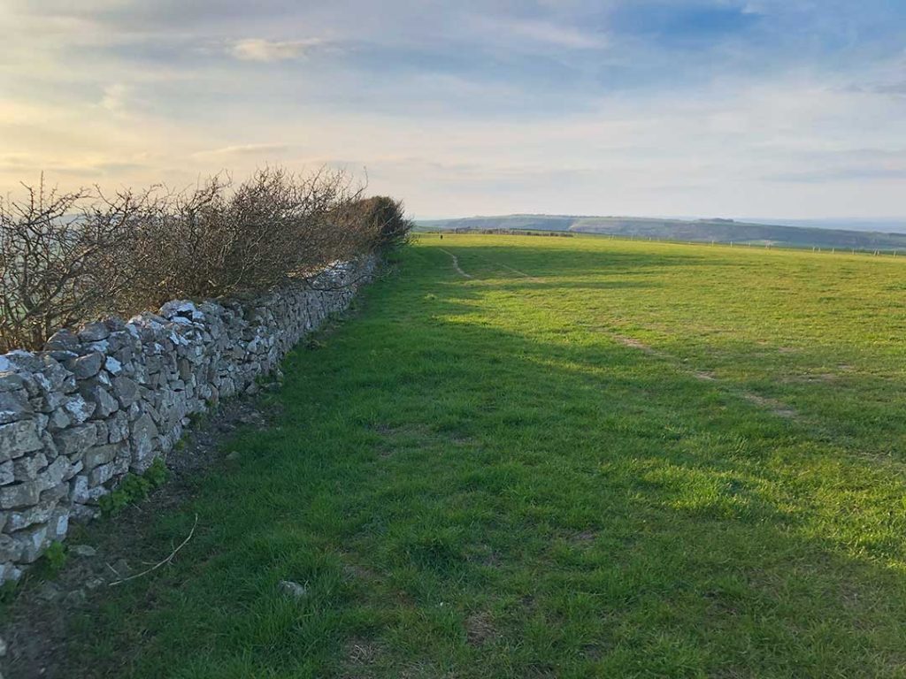
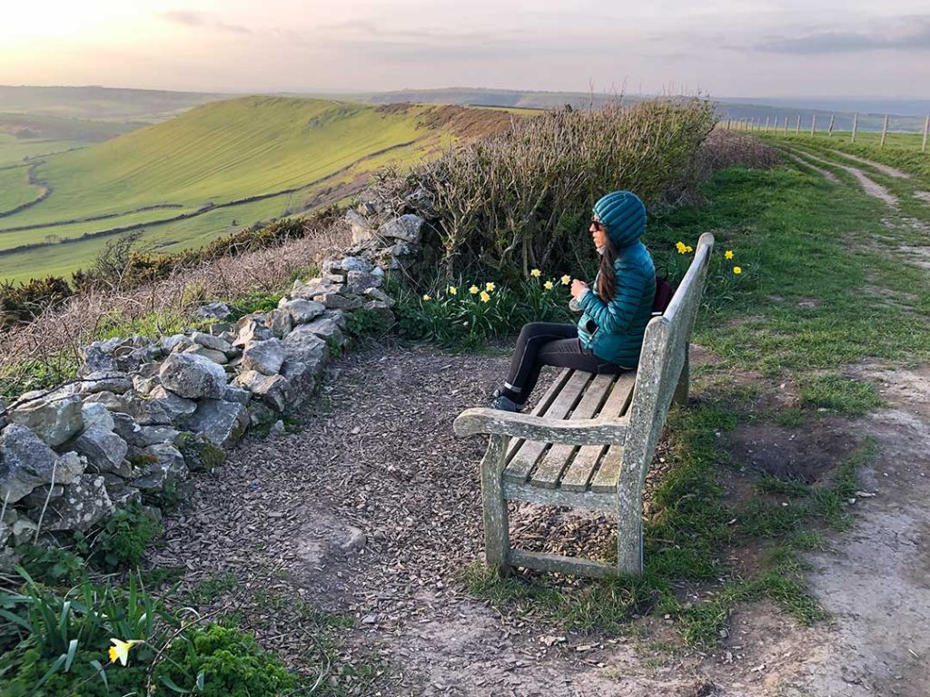
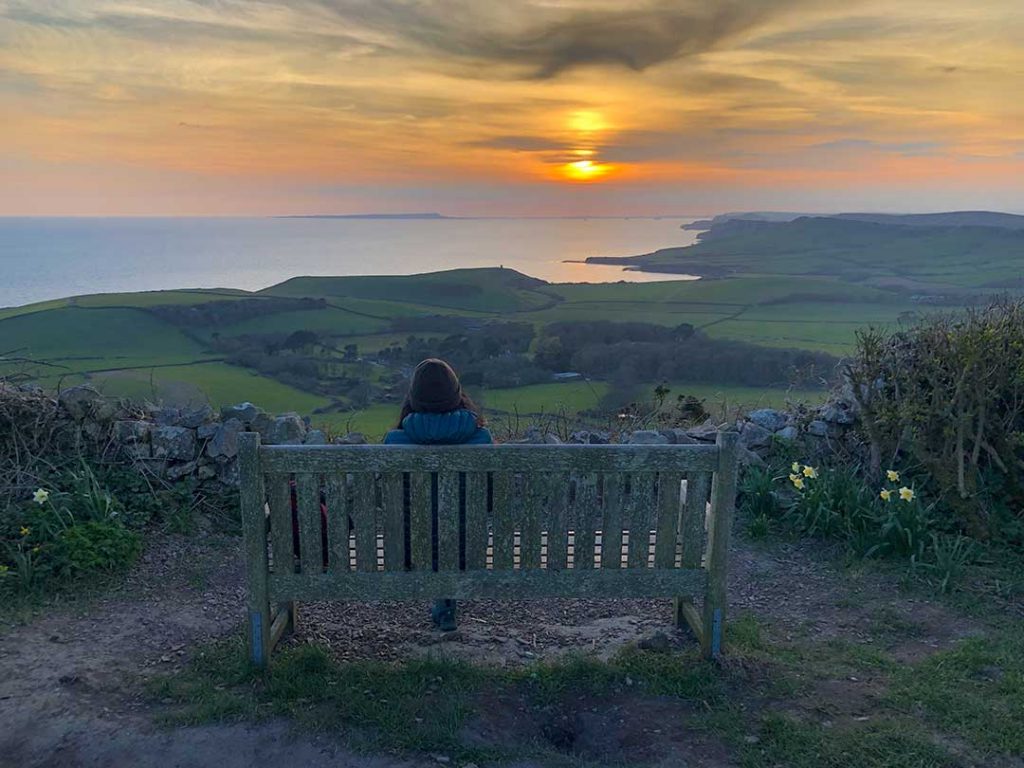
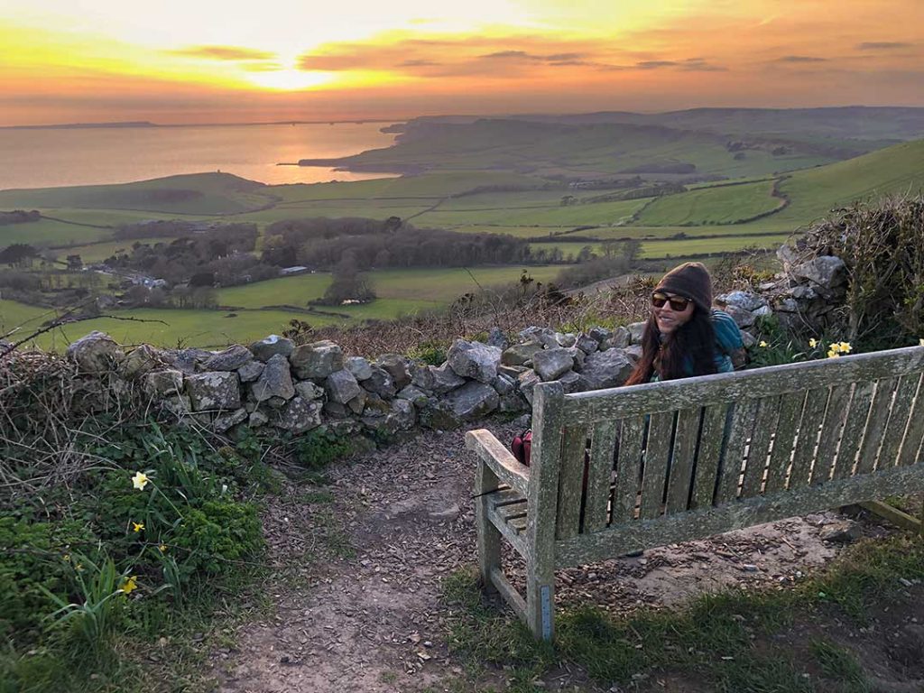
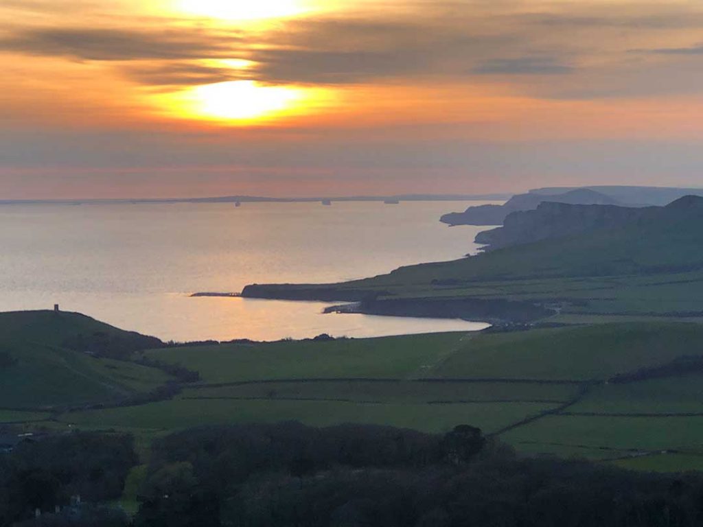
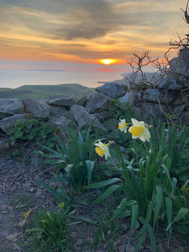
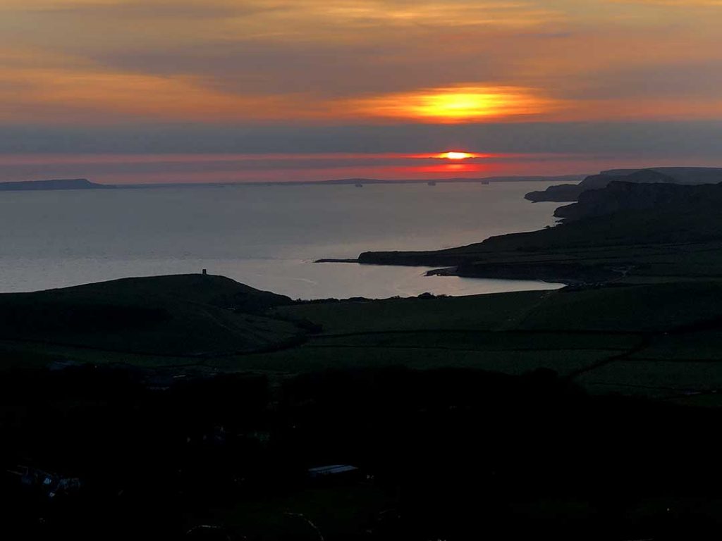
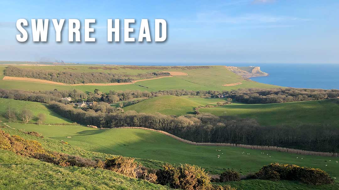
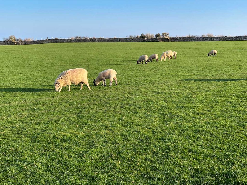
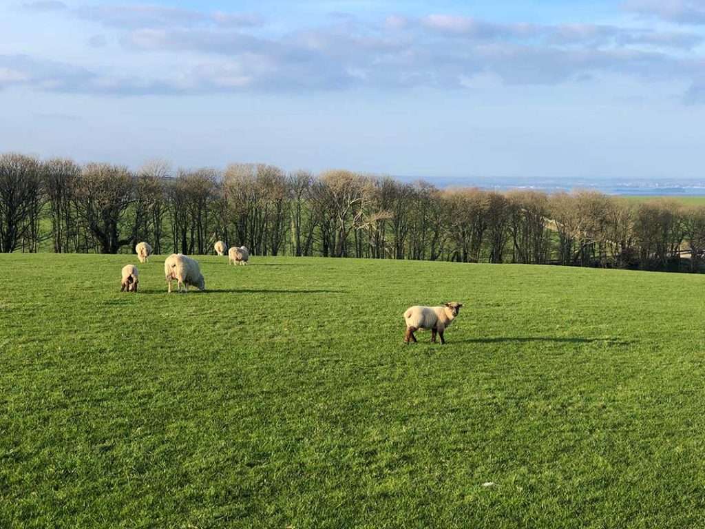
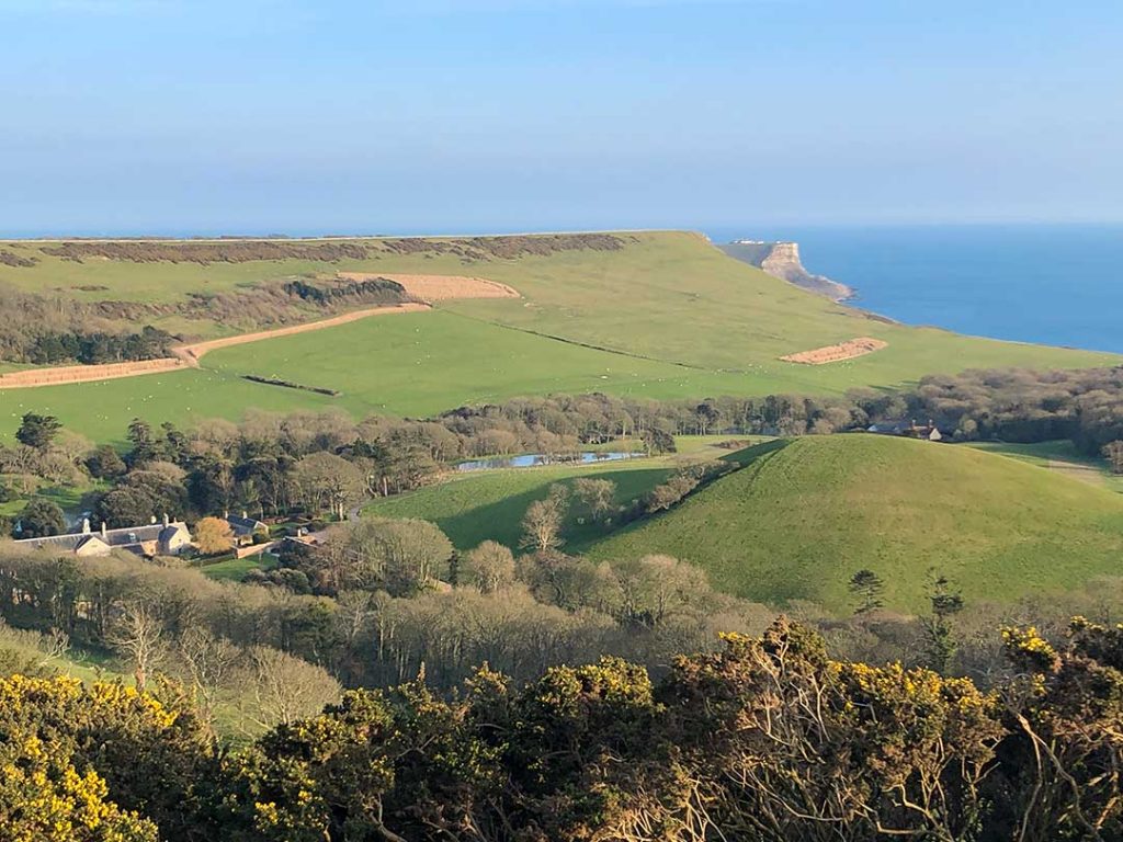
Swyre Head is the highest point of the Purbeck Hills. The hill commands extensive views of Dorset’s Jurassic Coast including St. Aldhelm’s Head and Chapmans Pool to the east and Clavell Tower, Kimmeridge and as far as the Isle of Portland and Weymouth Bay to the west. To the north you can see Corfe Castle and Poole Harbour.

Distance: 2 miles,
Difficulty: easy,
Estimated time: 1 hours 10 minutes
Total ascent 214ft, Max elevation 671ft

Kingston to Swyre Head Walk map (zoomed in)
Swyre Head Walk map (2 miles circular)
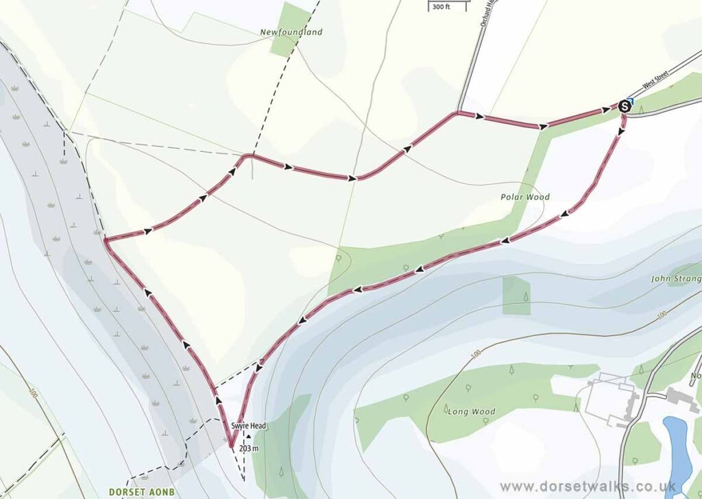
Base map © OpenStreetMap created in Outdooractive App

Route Map and GPS Navigation

https://www.outdooractive.com/
https://www.alltrails.com/
https://explore.osmaps.com/
https://www.google.com/

Route Description and Photos

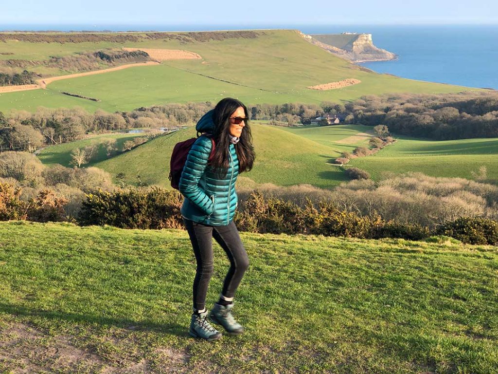
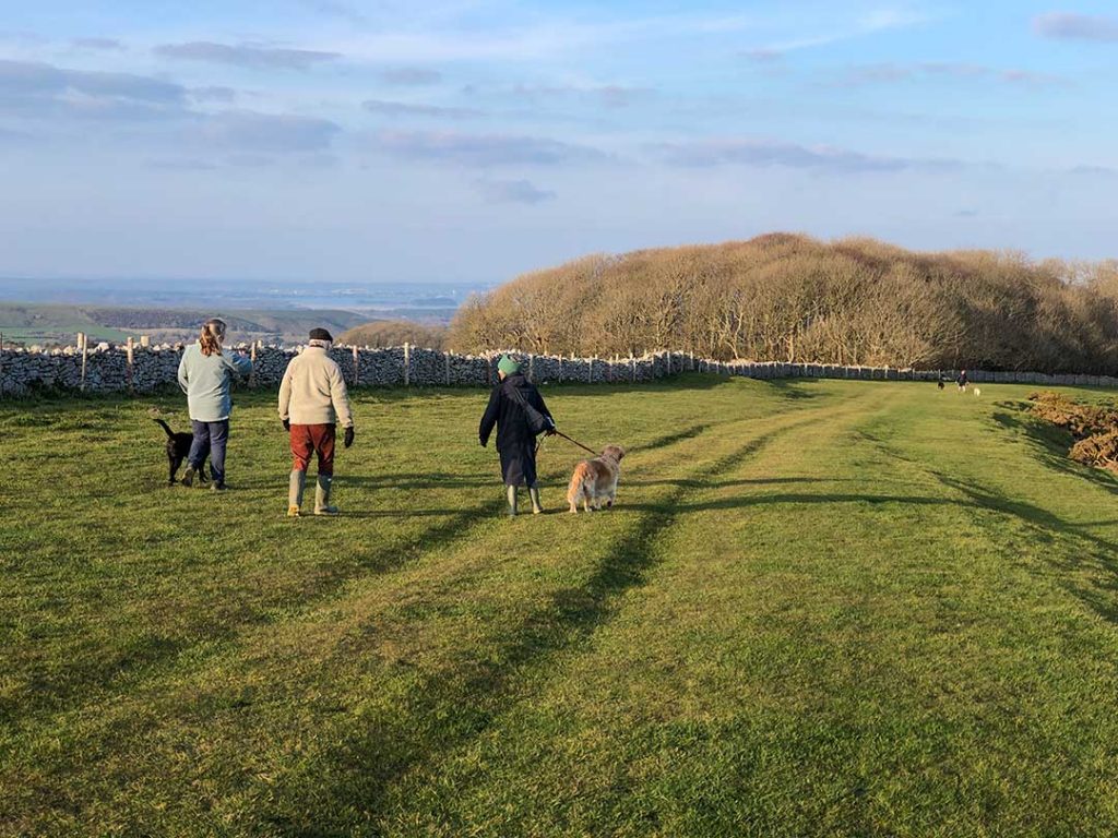
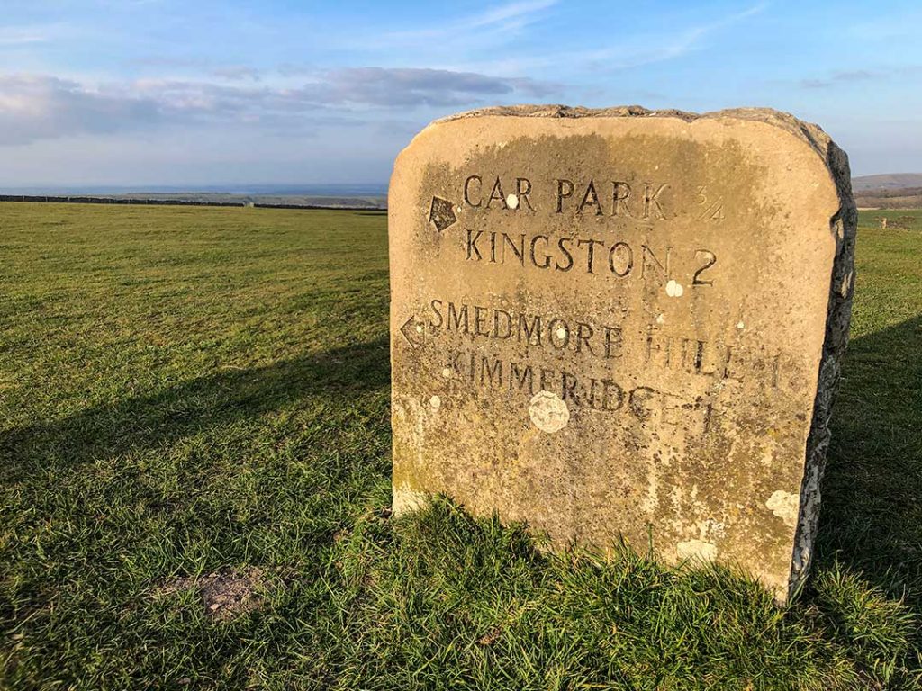
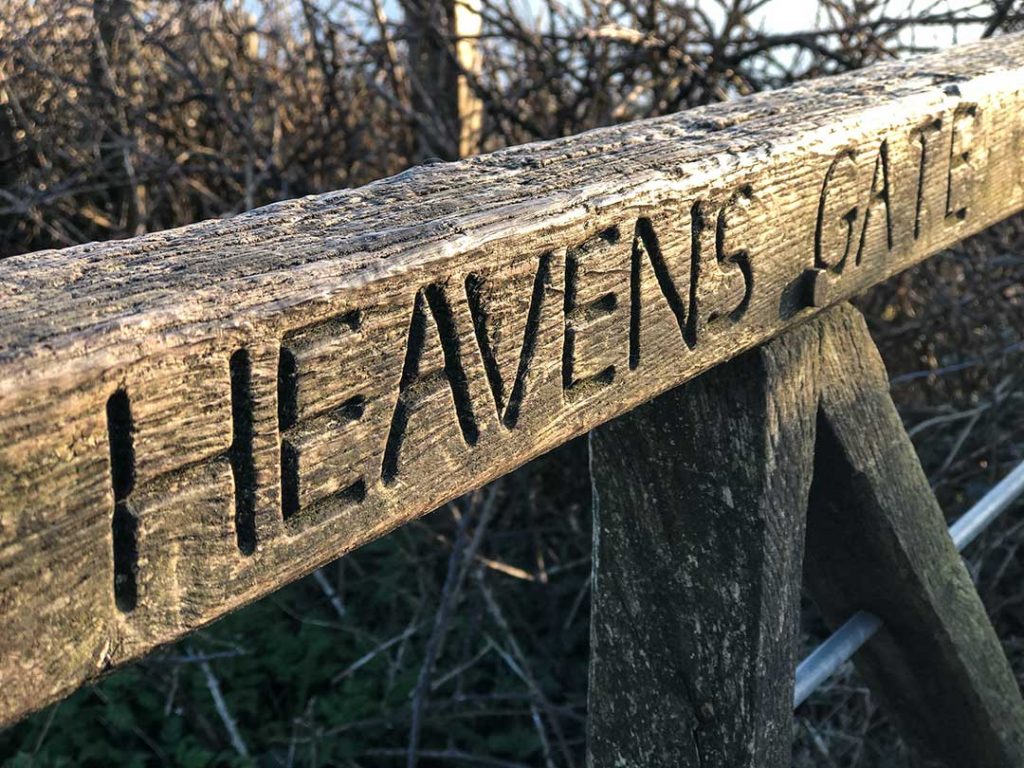
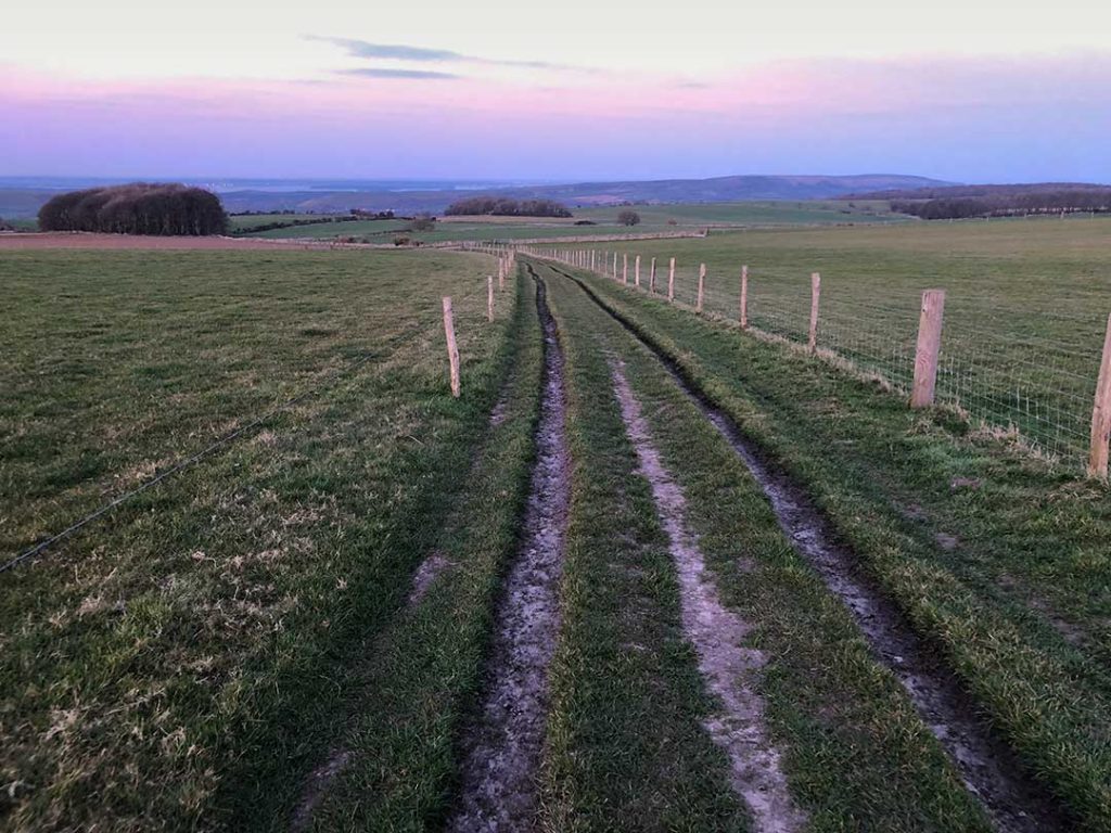
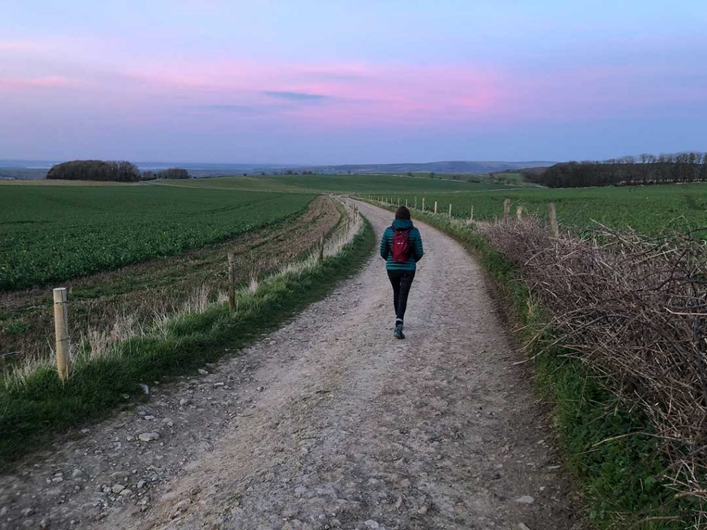
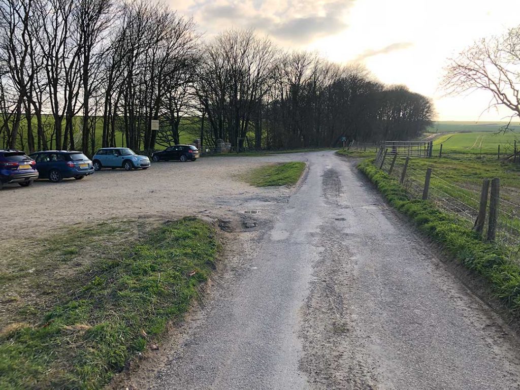
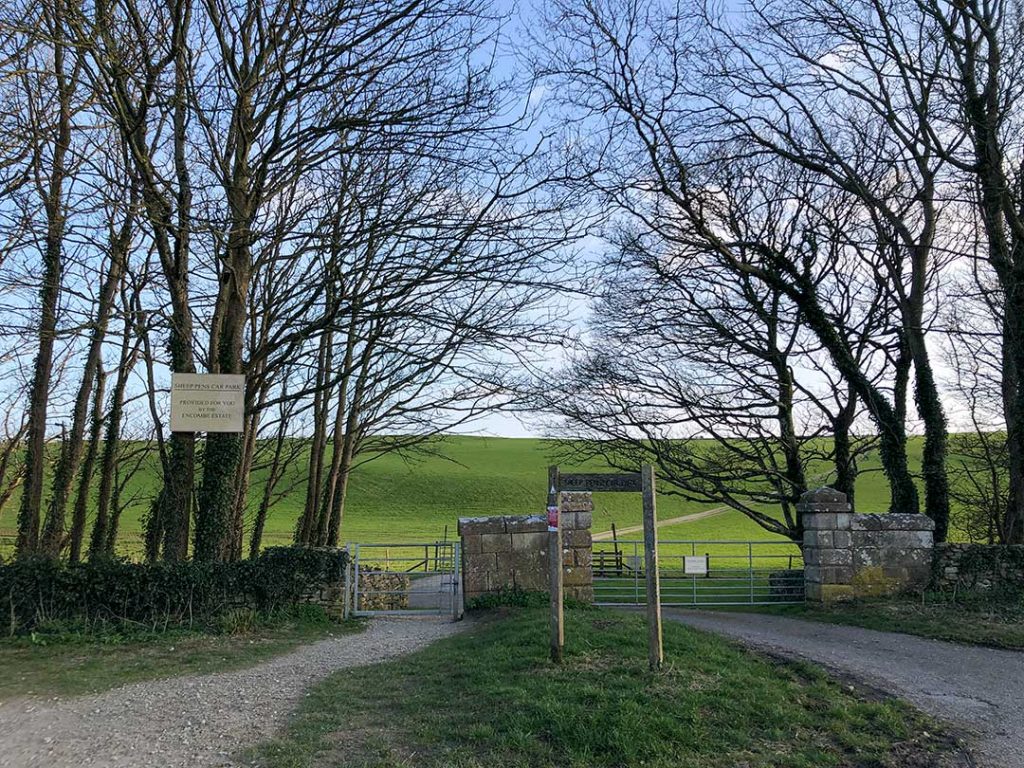
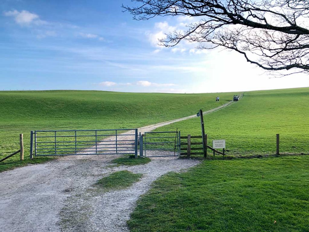
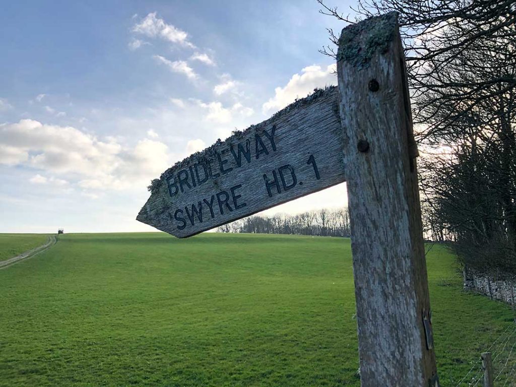
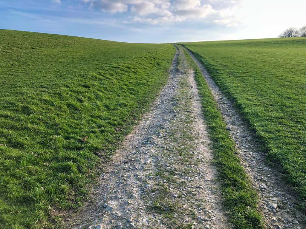
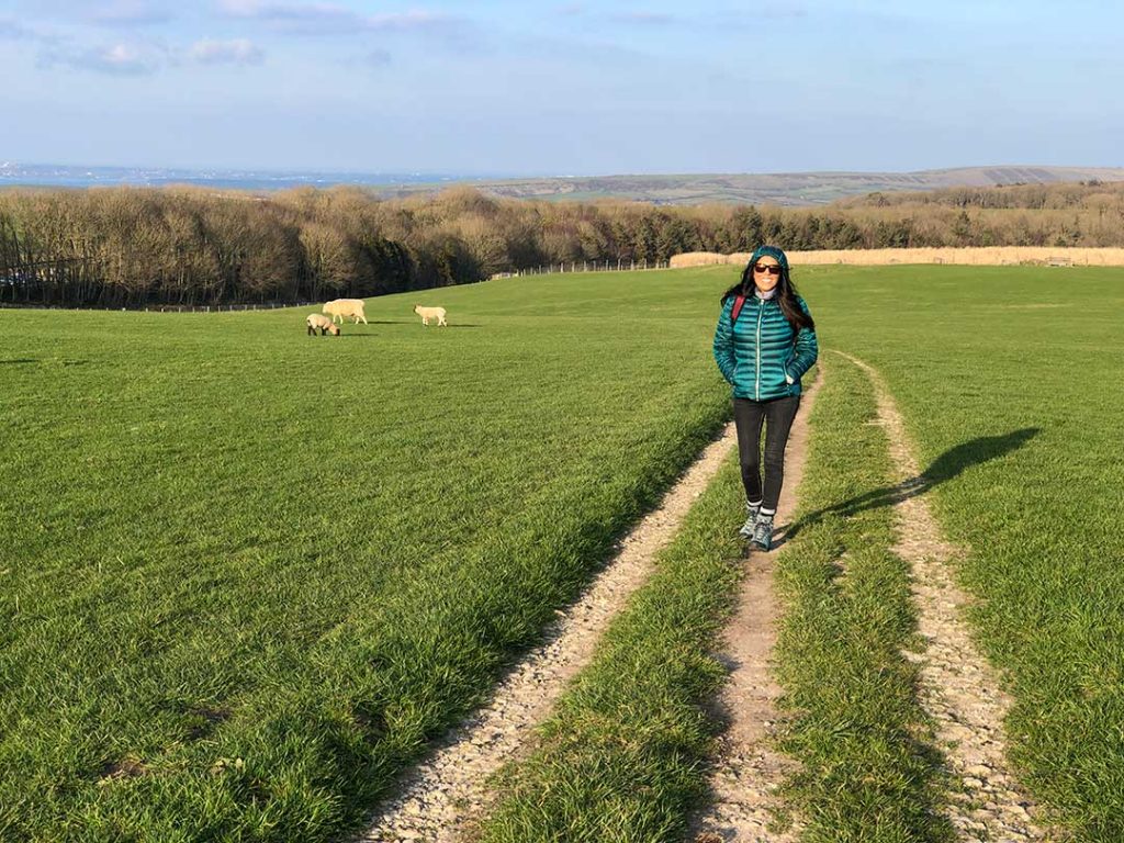
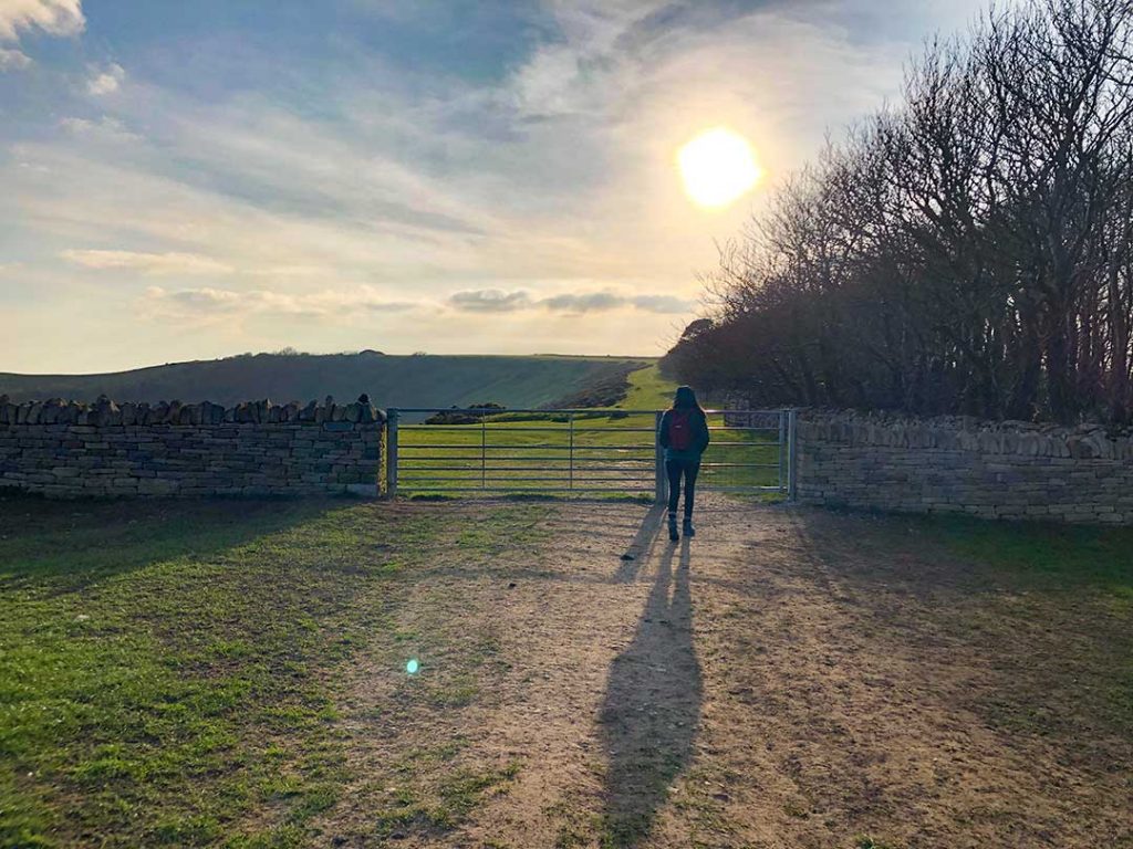
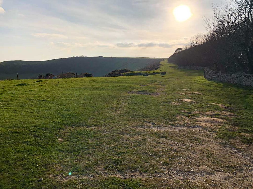
This easy 2 mile stroll starts from the Swyre Head car park (also known as Sheep Pens car park) which is a free car park provided by the Encombe Estate. The location of the car park can be found on Google Maps or on what3words at https://w3w.co

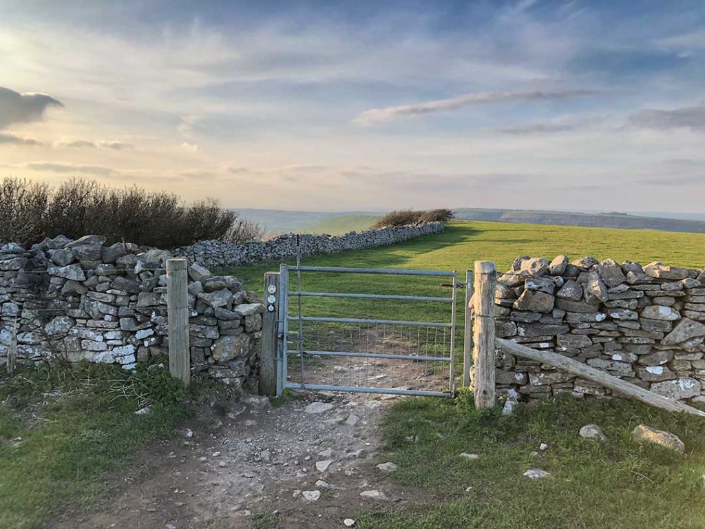
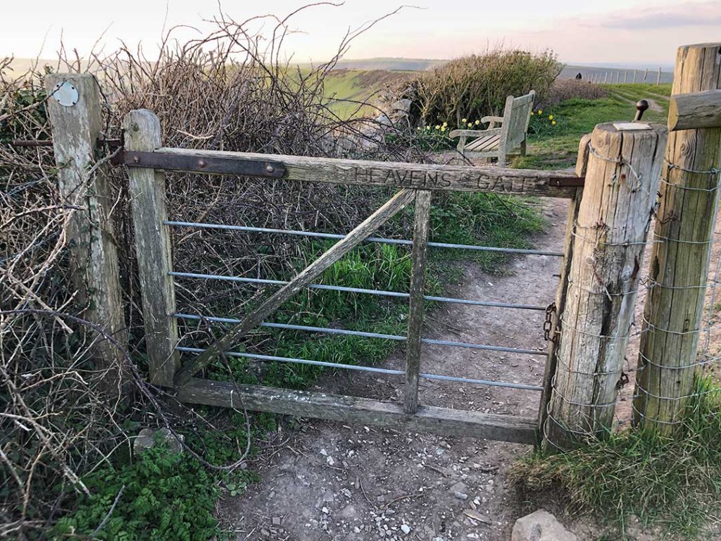
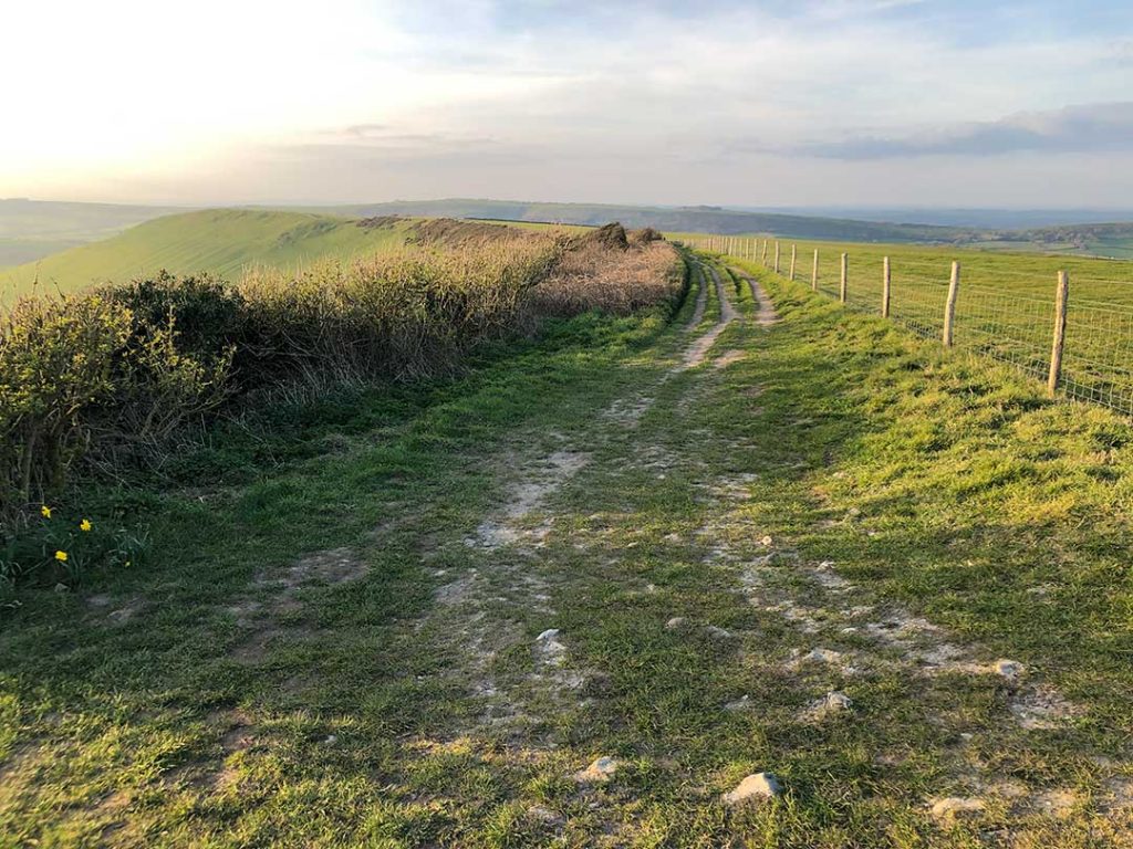
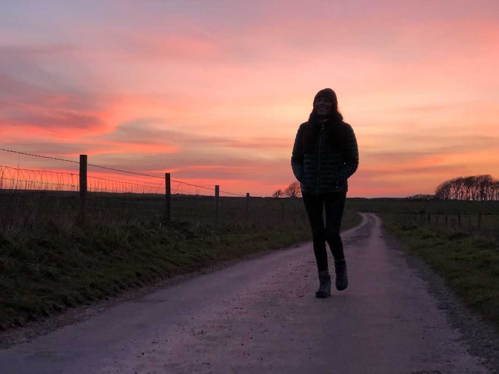
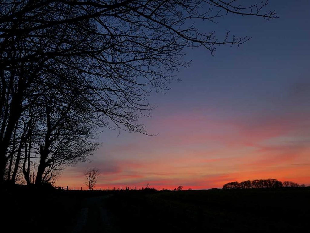
The photos showing the route of the walk below were taken on the 22 March 2021 departing the car park at 4.45pm and returning 2 hours later at 6.45pm after enjoying a beautiful sunset. When the sun went down it got cold very quickly so we didn’t stay long even though we took some coffee and sandwiches.

The start of the walk is at Swyre Head Car Park https://w3w.co This is a free car park.
From the corner of the car park (https://w3w.co) pass through the first gate and keep straight on to the next gate.
Pass through the second gate (https://w3w.co) the footpath is easy to follow straight on up through the fields. The field may have livestock grazing so keep your dog on a lead.
https://w3w.co The footpath is easy to follow
View looking back towards the car park https://w3w.co
After only 10 minutes walk from the car park pass through gates at the start of the Swyre Hard ridge. https://w3w.co
https://w3w.co
View from the ridge looking south-east towards the row of white cottages at St. Aldhelm’s Head in the far distance. The ridge running from left to right ends at a place called Houns Tout. Behind Houns Tout, not visible, is Chapmans Pool.
https://w3w.co
You can see Encombe House and Estate down in the valley. You can read about the owners and history at Wikipedia or in this Bournemouth Echo article. Encombe is considered one of the best pheasant shooting estates in the country.
Passing walkers on their way back to the car park. Looking north over the stone wall you can see Poole Harbour and Corfe Castle. https://w3w.co
Arriving at Swyre Head. Photo taken at 5.10pm so its only taken just 25 minutes to reach this point. This is the view looking south-west along the coast. You can see the silhouette of Clavell Tower overlooking Kimmeridge Bay. Beyond Kimmeridge Bay is Brandy Bay and then Worbarrow Bay. On the far horizon is Weymouth Bay. https://w3w.co
https://w3w.co
https://w3w.co
https://w3w.co
https://w3w.co
https://w3w.co
https://w3w.co
https://w3w.co
https://w3w.co
https://w3w.co
https://w3w.co